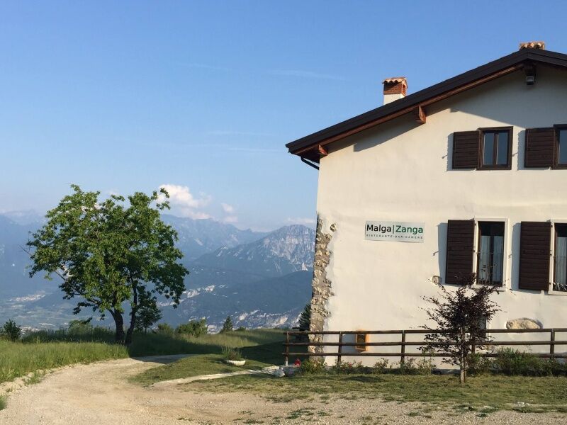
© North Lake Garda Trentino - Malga Zanga

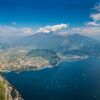
© North Lake Garda Trentino - Archivio Garda Trentino (ph. Marco Giacomello)

- Kort beskrivelse
-
Pure entertainment in the Passo Santa Barbara area.
- Sværhedsgrad
-
medium
- Evaluering
-
- Rute
-
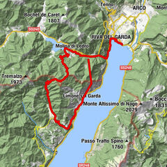
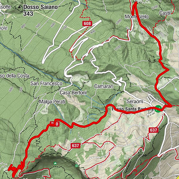
Monte Velo0,4 kmMalga Zanga0,7 kmSanta Barbara2,4 km
- Bedste sæson
-
janfebmaraprmajjunjulaugsepoktnovdec
- Højeste punkt
- 1.210 m
- Destination
-
Malga Fiavei
- Højdeprofil
-
 © outdooractive.com

-
-
ForfatterRundvisningen Variante Santa Barbara Trail bruges af outdooractive.com forudsat.
GPS Downloads


Generel information
Forfriskningsstop
Lovende
Flere ture i regionerne
-
Garda Trentino
147
-
Val di Gresta
72