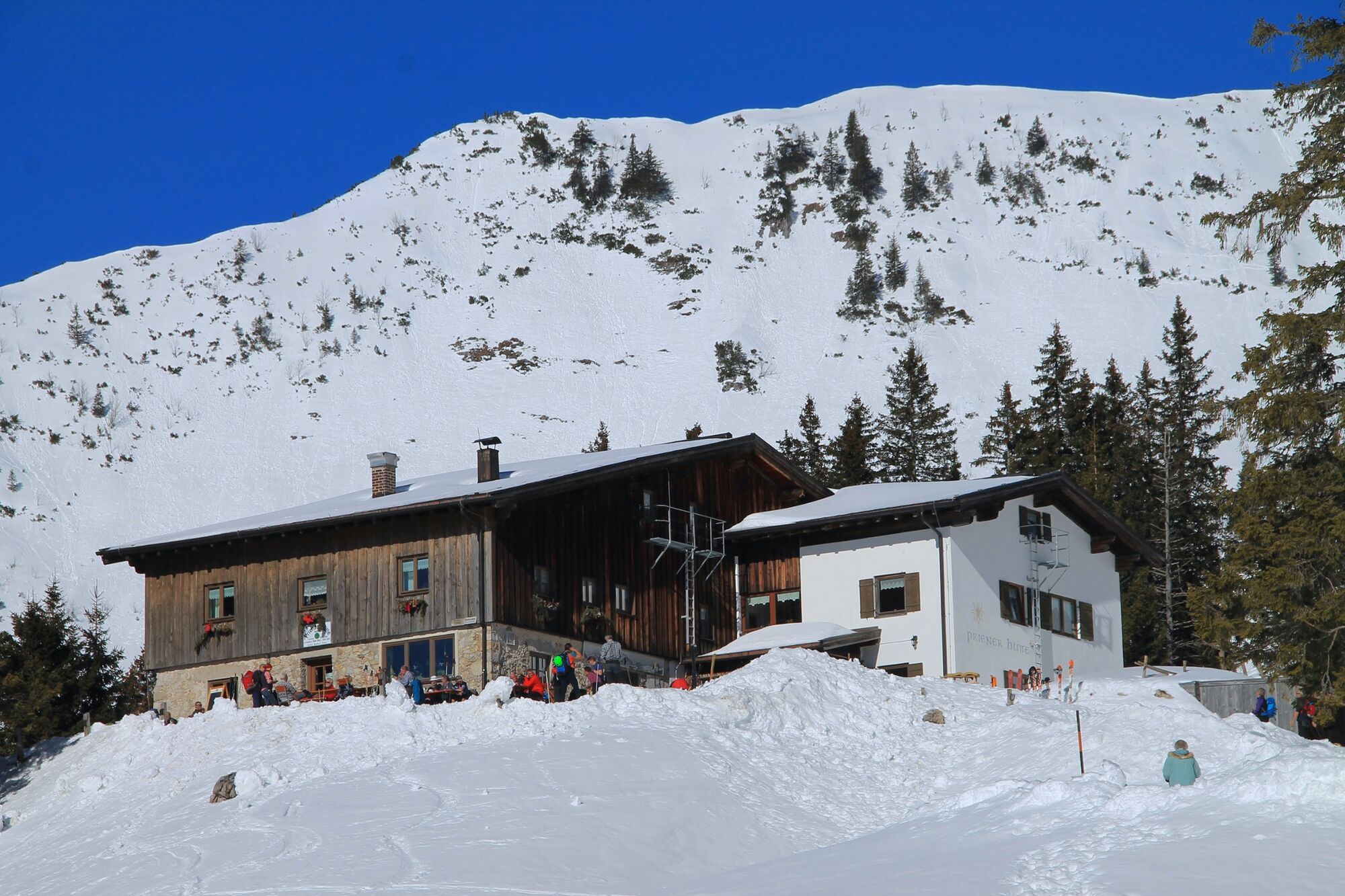
Winter hiking tour to the Priener Hütte on the Geigelstein - mountaineering village Sachrang


© Tourist Info Aschau i.Chiemgau - Tourist Info Aschau im Chiemgau

© Tourist Info Aschau i.Chiemgau - Tourist Info Aschau im Chiemgau

© Tourist Info Aschau i.Chiemgau - Tourist Info Aschau im Chiemgau

© Tourist Info Aschau i.Chiemgau - Tourist Info Aschau im Chiemgau

© Tourist Info Aschau i.Chiemgau - Tourist Info Aschau im Chiemgau

© Tourist Info Aschau i.Chiemgau - Tourist Info Aschau im Chiemgau

- Kort beskrivelse
-
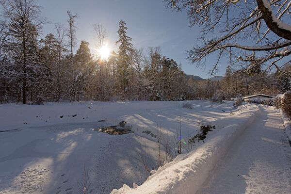
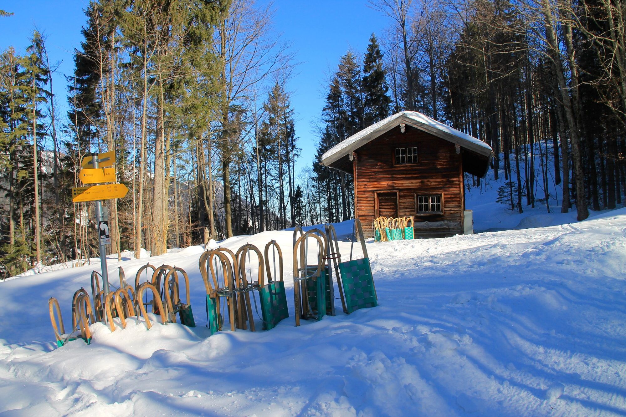
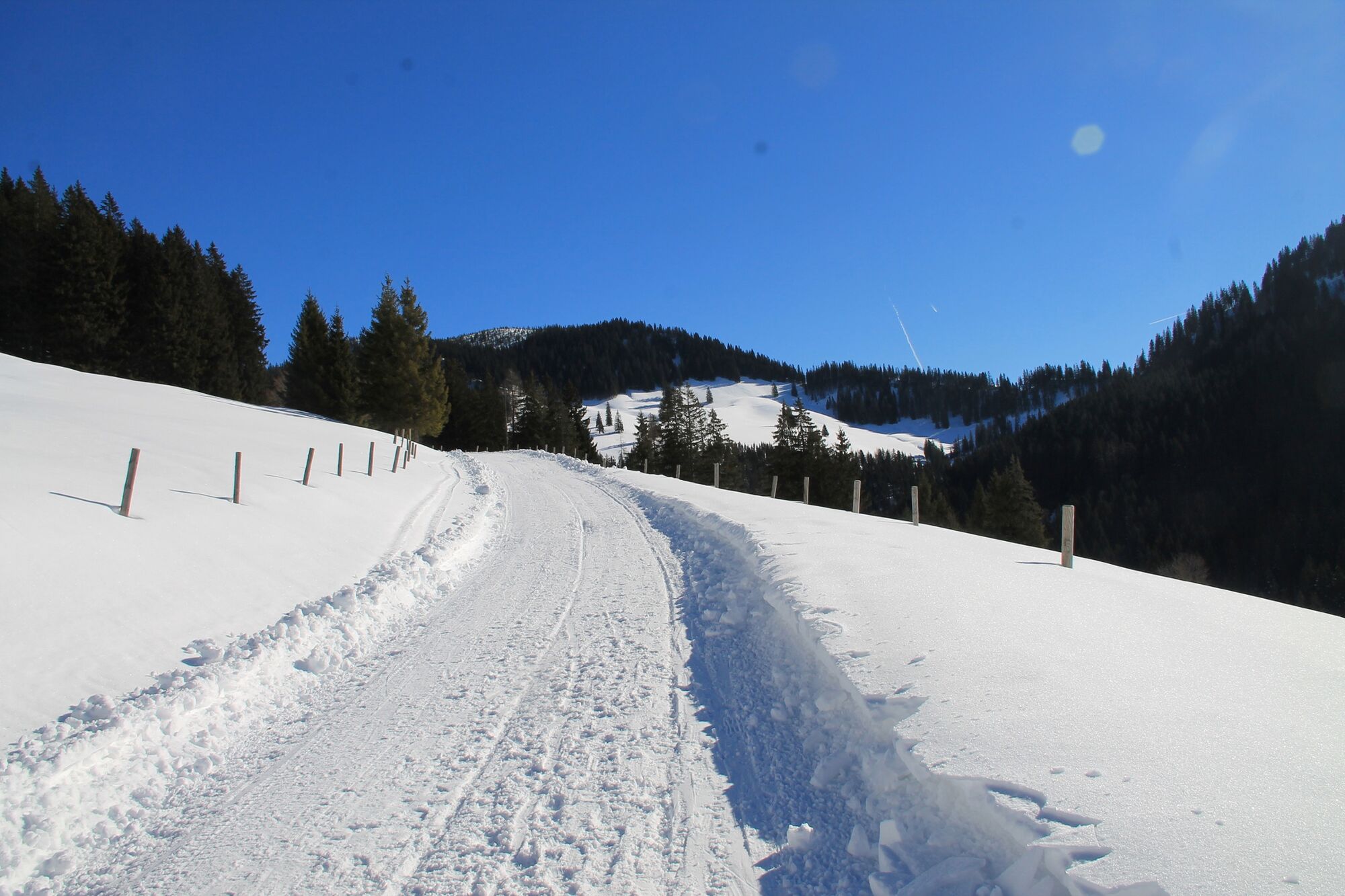
This beautiful mountain tour can be done in any weather, as in winter the ascent leads along the forest road. Depending on the snow conditions, the road can be rolled in by snowmobile;
- Sværhedsgrad
-
medium
- Evaluering
-
- Rute
-
Sachrang (740 m)Wasserfall Berg (785 m)1,9 kmPriener Hütte7,9 kmWasserfall Berg (785 m)13,8 kmSachrang (740 m)15,7 km
- Bedste sæson
-
augsepoktnovdecjanfebmaraprmajjunjul
- Højeste punkt
- 1.404 m
- Destination
-
Priener Hut Geigelstein
- Højdeprofil
-
 © outdooractive.com


- Forfatter
-
Rundvisningen Winter hiking tour to the Priener Hütte on the Geigelstein - mountaineering village Sachrang bruges af outdooractive.com forudsat.
GPS Downloads


Generel information
Forfriskningsstop
Lovende
Flere ture i regionerne
-
Kaiserwinkl
173
-
Rettenschöss
38