© TVB Kufsteinerland - Sportalpen Marketing

© TVB Kufsteinerland - Sportalpen Marketing

- Kort beskrivelse
-
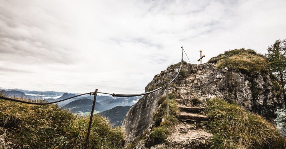
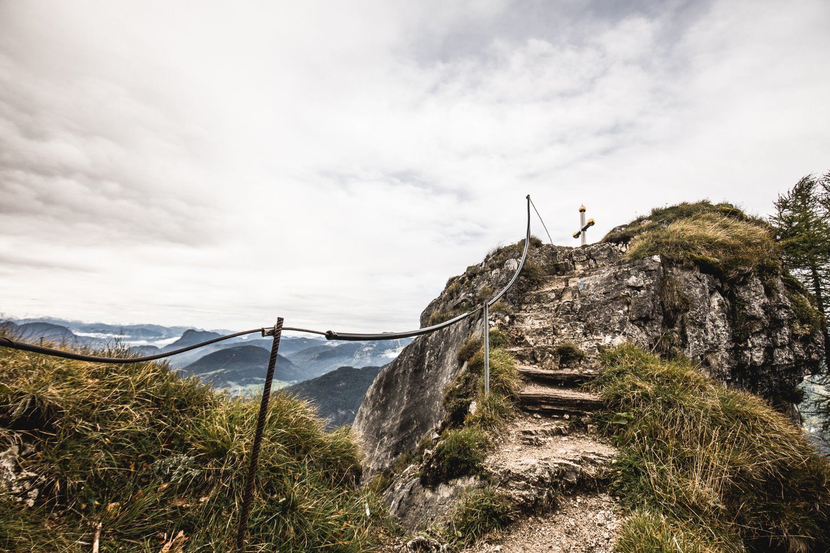
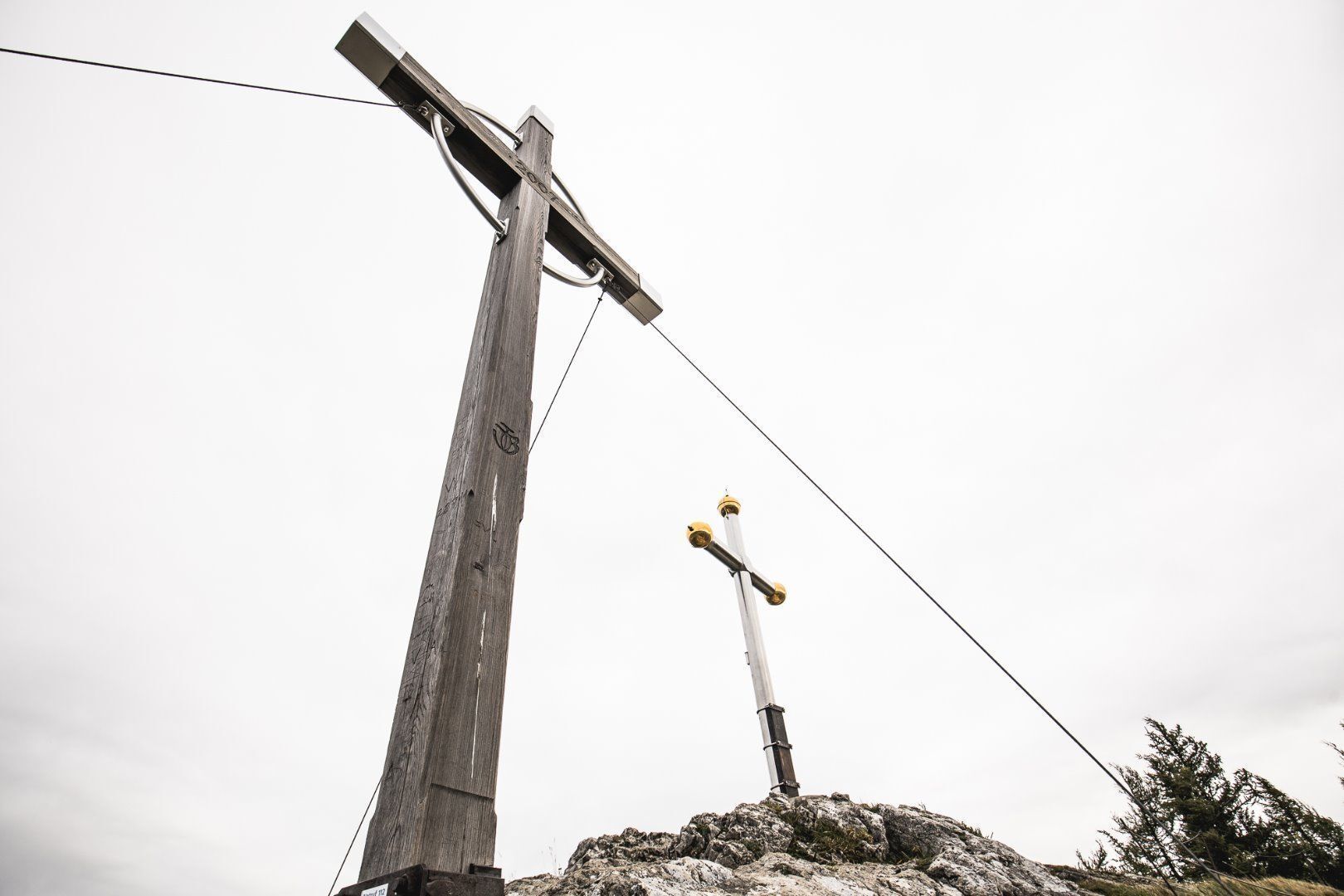
Varied mountain hike with wonderful views of the Chiemgau Alps and the Kaiser Mountains. The German/Austrian border runs over the Kranzhorn summit, which is why the climb is (unusually) rewarded with two peak crosses. The rustic Kranzhornalm is popular with climbers.
- Sværhedsgrad
-
medium
- Evaluering
-
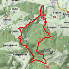
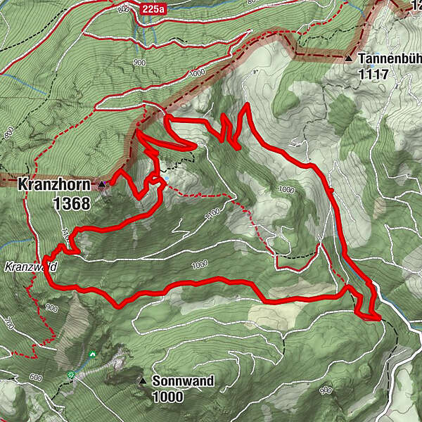
- Rute
-
Hintermoar-Alm0,4 kmKranzhorn Alm3,5 kmKranzhorn (1.368 m)4,0 km
- Bedste sæson
-
janfebmaraprmajjunjulaugsepoktnovdec
- Højeste punkt
- 1.357 m
- Destination
-
summit Kranzhorn
- Højdeprofil
-

- Forfatter
-
Rundvisningen Kranzhorn Erl bruges af outdooractive.com forudsat.
GPS Downloads


Flere ture i regionerne
-
Kufsteinerland
2116
-
Erl
662