© Tourismusverband Region Hall-Wattens - Anne W.

© Tourismusverband Region Hall-Wattens - Hall Wattens

© Tourismusverband Region Hall-Wattens - Hall Wattens

© Tourismusverband Region Hall-Wattens - Anne W.

© Tourismusverband Region Hall-Wattens - Anne W.

© Tourismusverband Region Hall-Wattens - Anne W.

© Tourismusverband Region Hall-Wattens - Anne W.

© Tourismusverband Region Hall-Wattens - Anne W.

© Tourismusverband Region Hall-Wattens - Anne W.

© Tourismusverband Region Hall-Wattens - Anne W.
- Kort beskrivelse
-
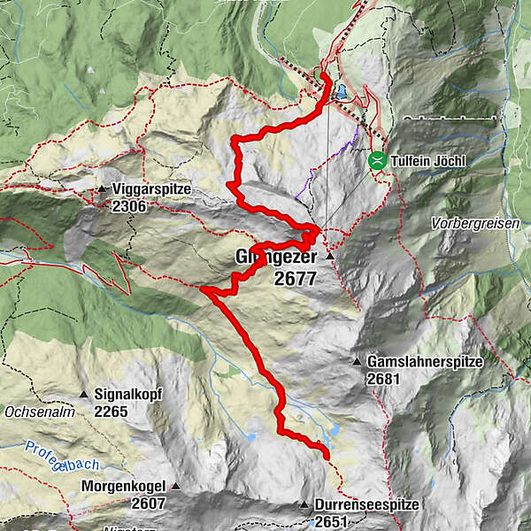
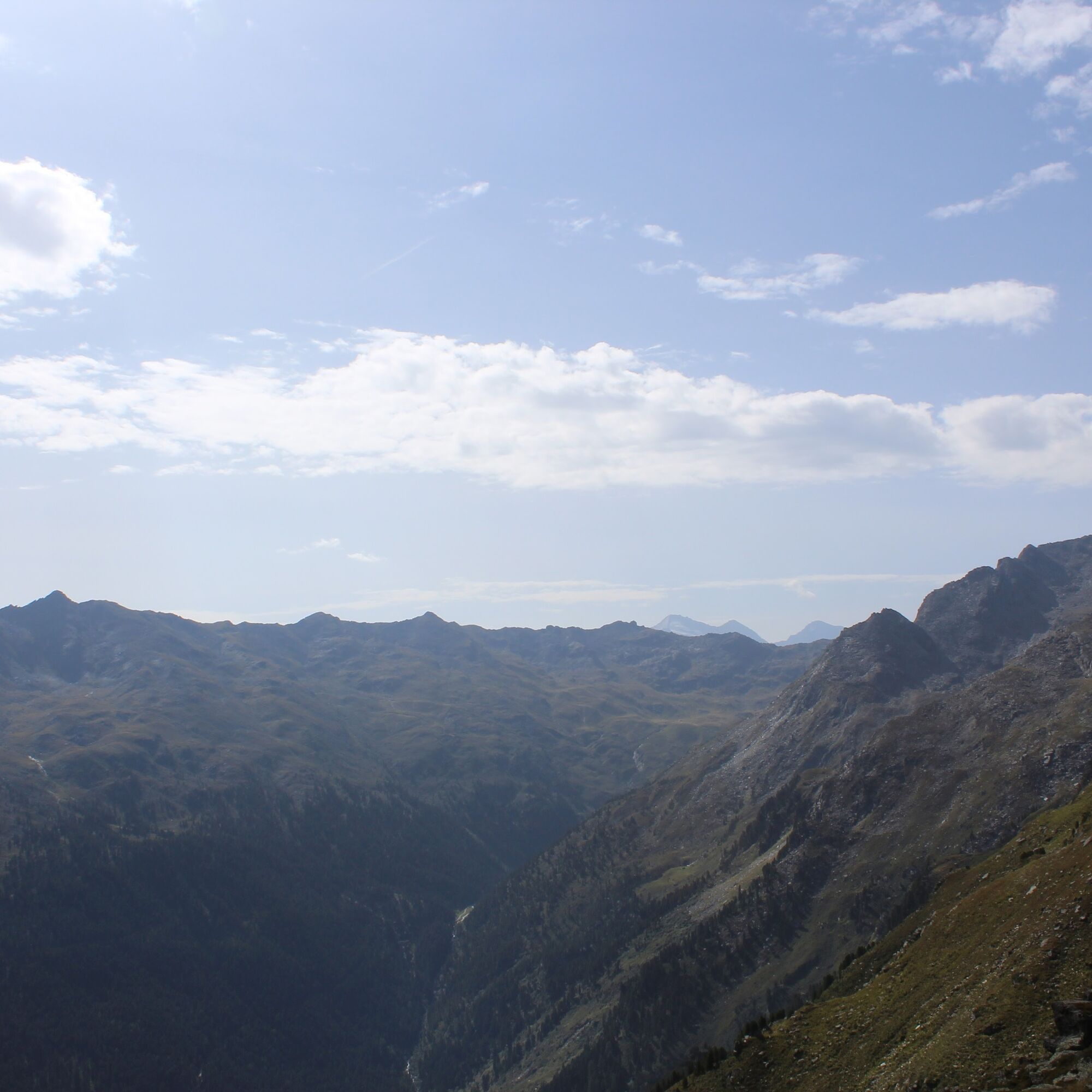
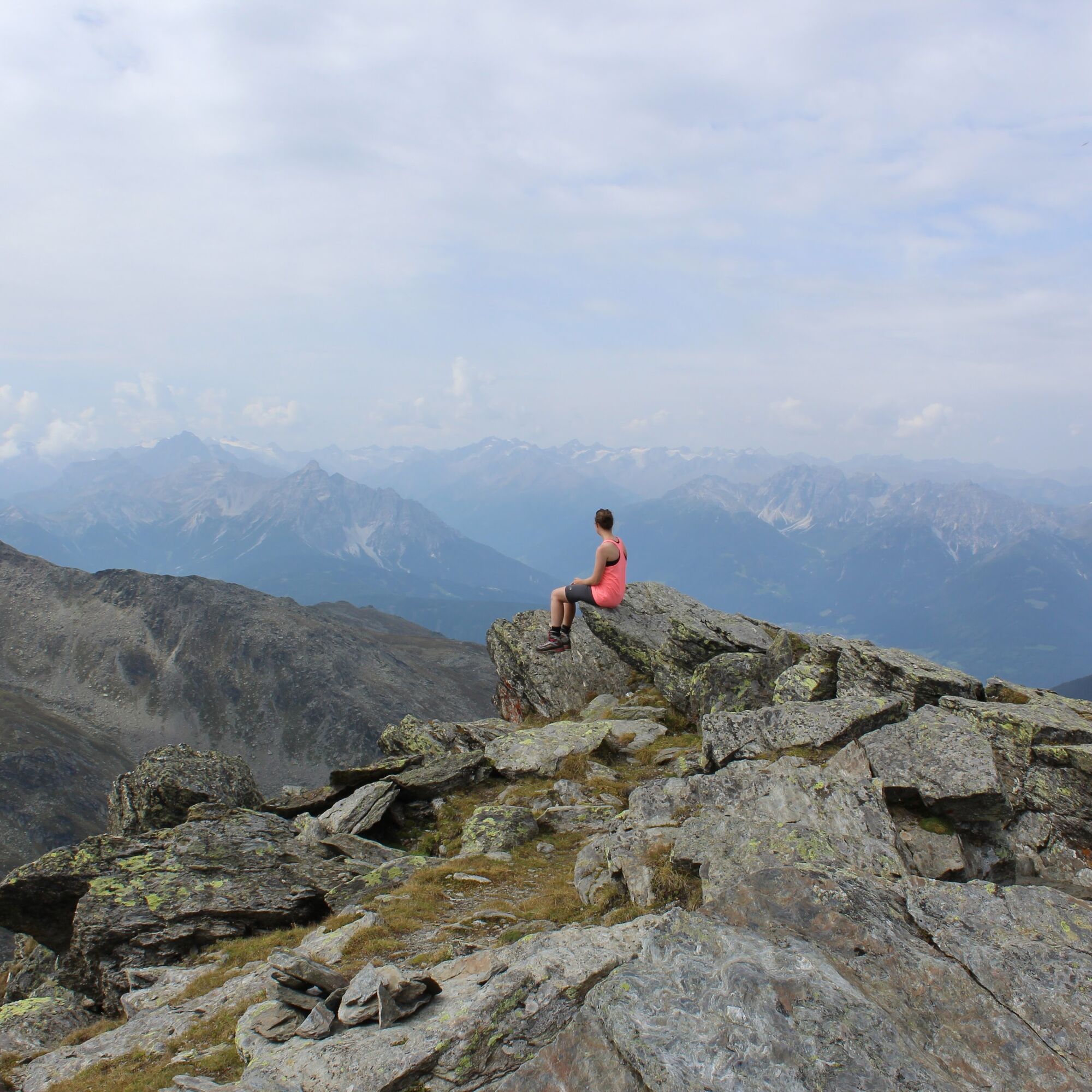
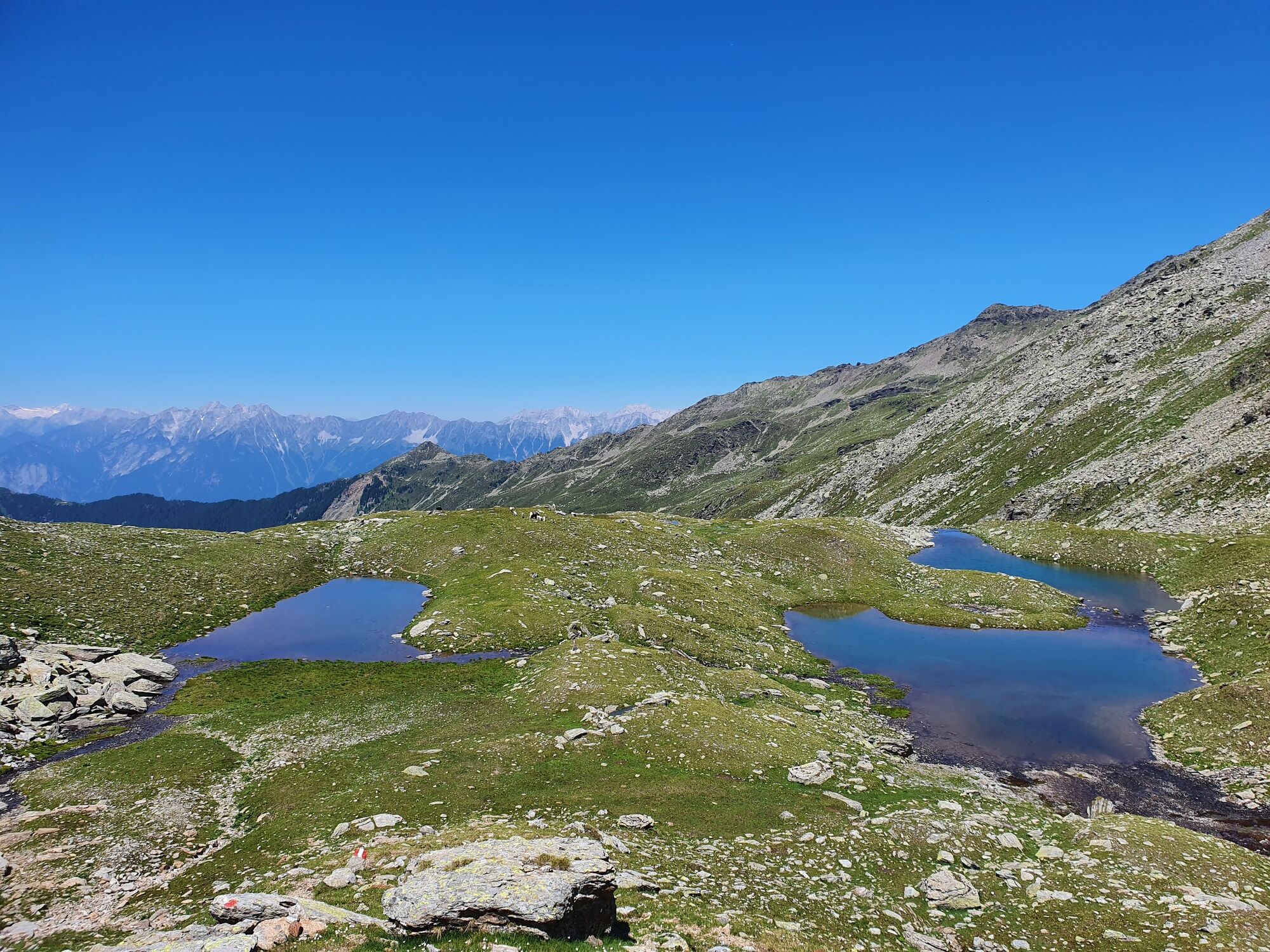
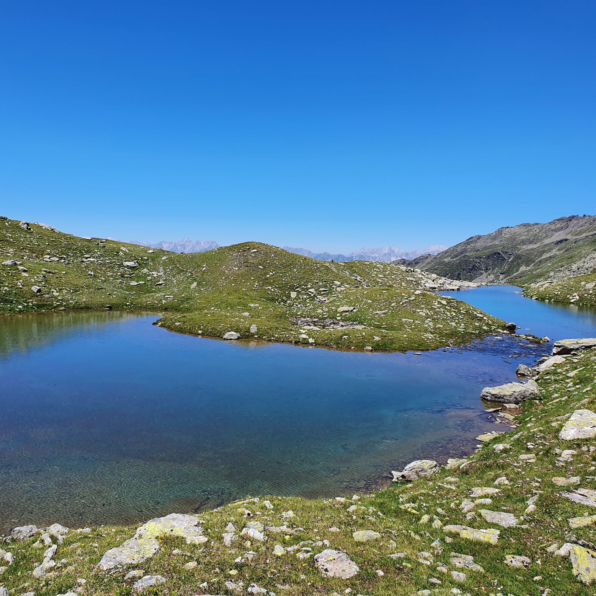
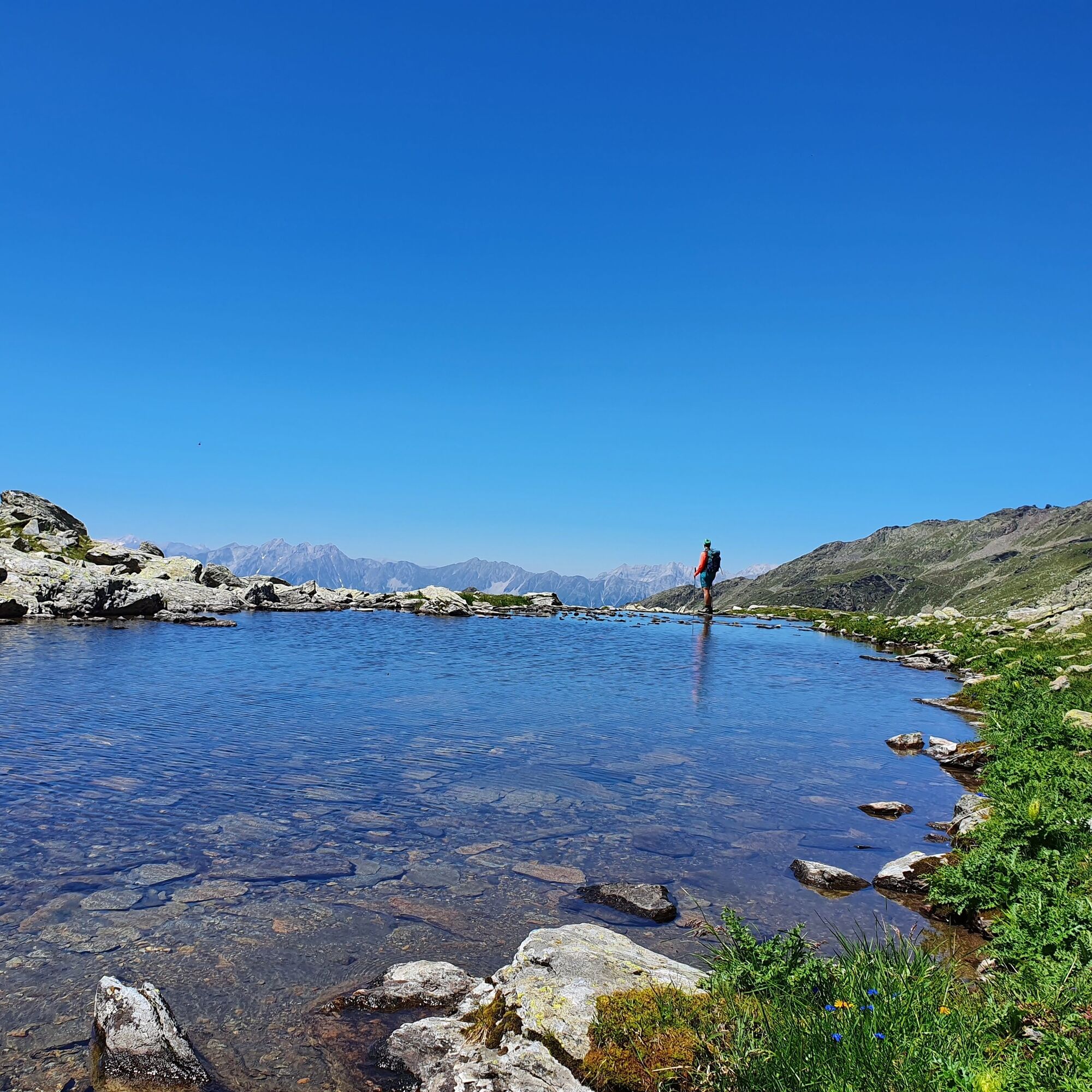
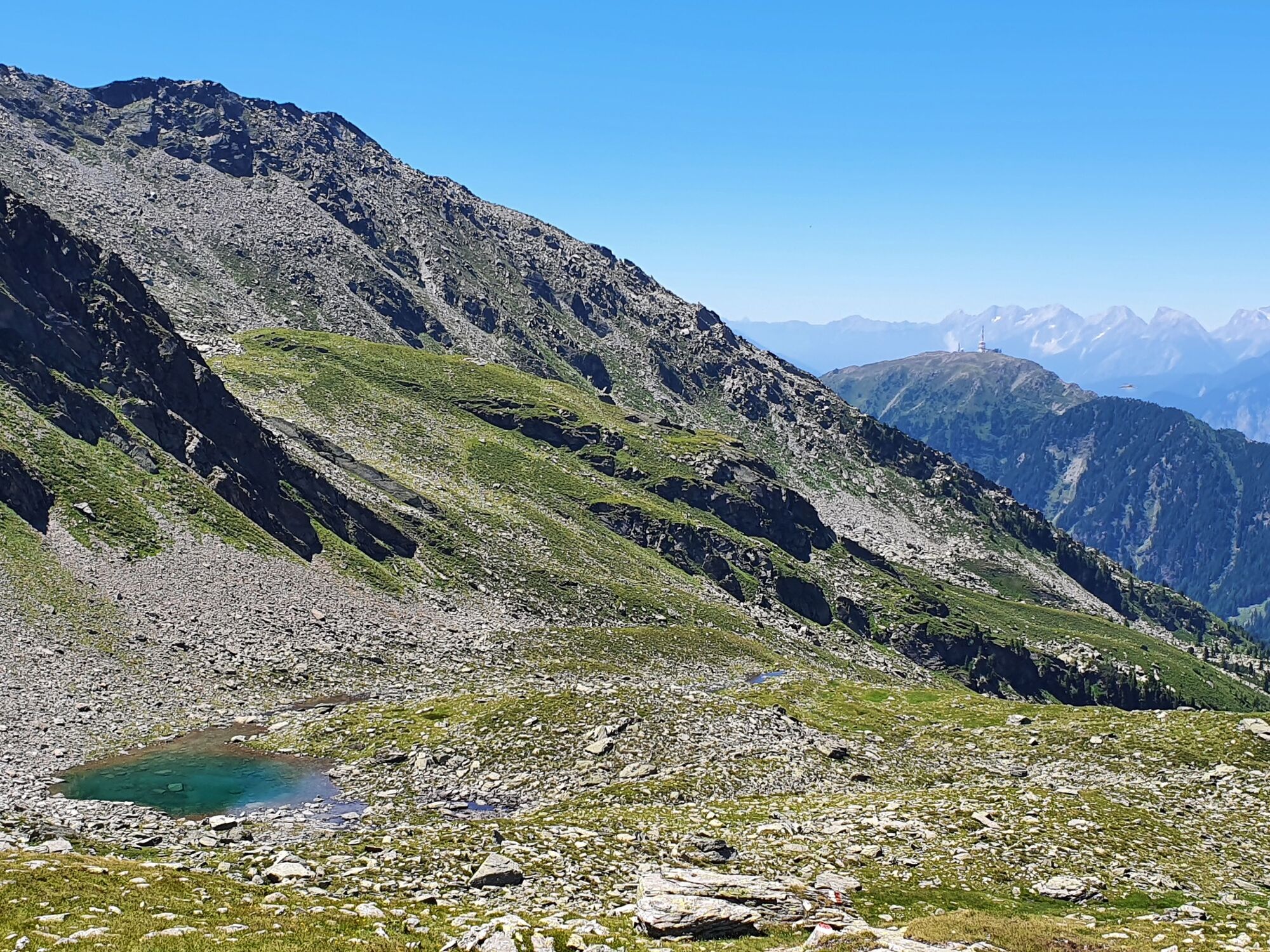
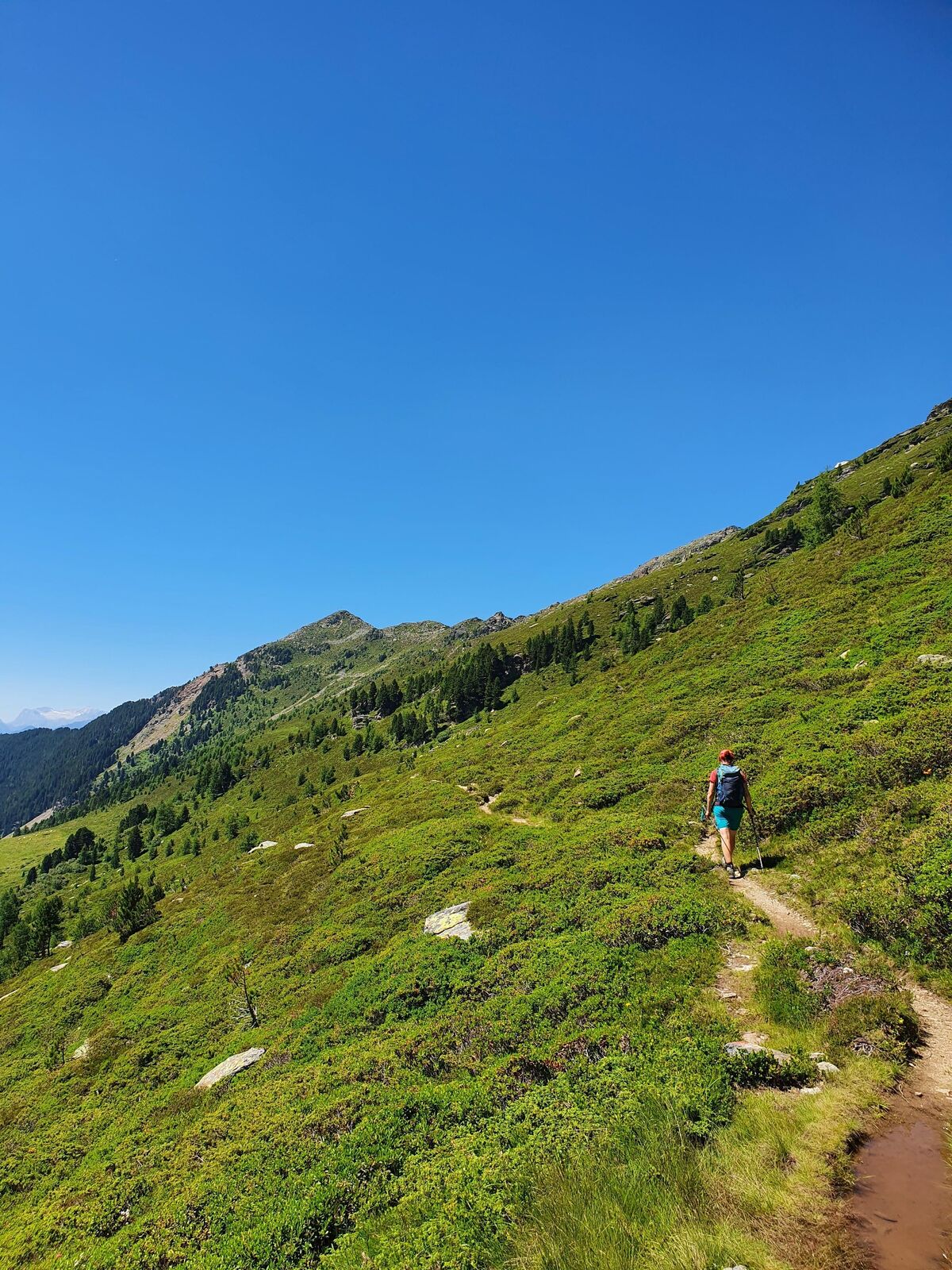
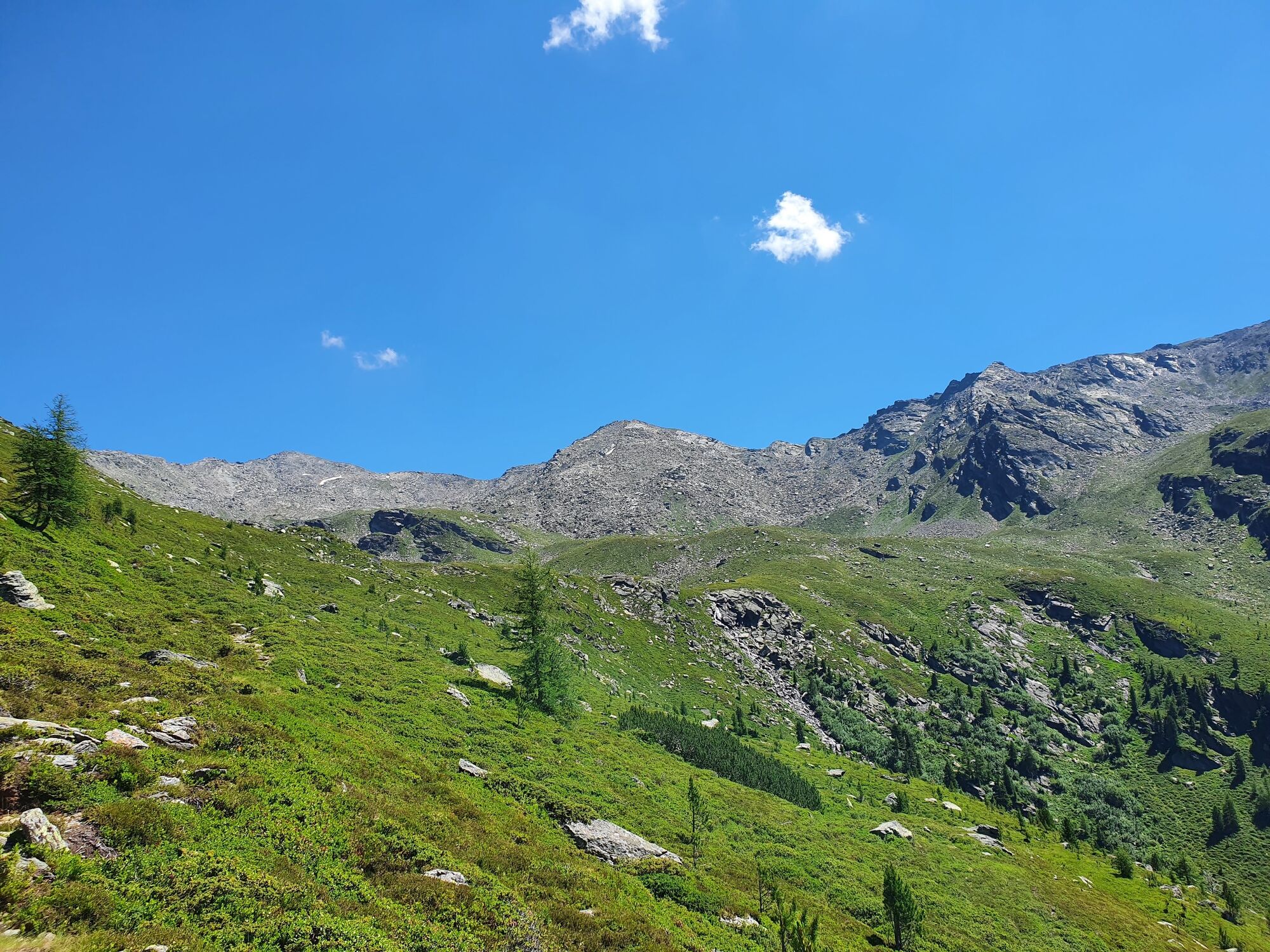
This hike takes you to the end of the Viggartal with it´s breath-taking "Blue lakes"
- Sværhedsgrad
-
medium
- Evaluering
-
- Rute
-
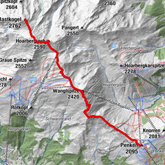
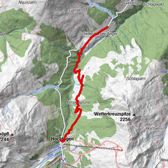
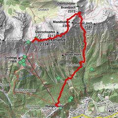
Tulfein Alm0,0 kmHirschvogel1,5 kmSonnenspitze (2.639 m)2,9 kmGlungezerhütte3,1 kmVorderer Schönbichl (2.397 m)11,8 kmGlungezerhütte13,0 kmSonnenspitze (2.639 m)13,3 kmHirschvogel14,6 kmTulfein Alm16,2 km
- Bedste sæson
-
janfebmaraprmajjunjulaugsepoktnovdec
- Højeste punkt
- 2.627 m
- Destination
-
Blaue Seen
- Højdeprofil
-

- Forfatter
-
Rundvisningen The blue lakes bruges af outdooractive.com forudsat.
GPS Downloads


Generel information
Forfriskningsstop
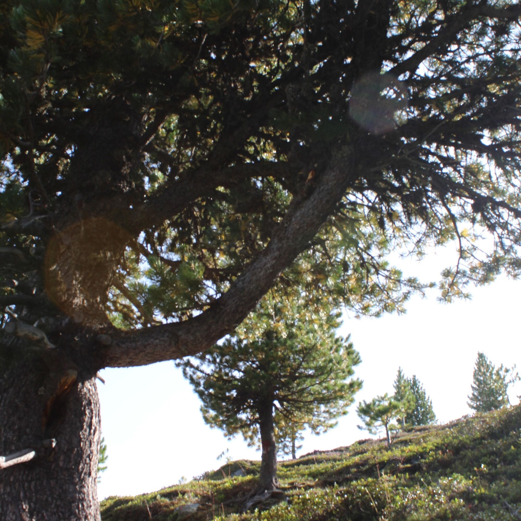
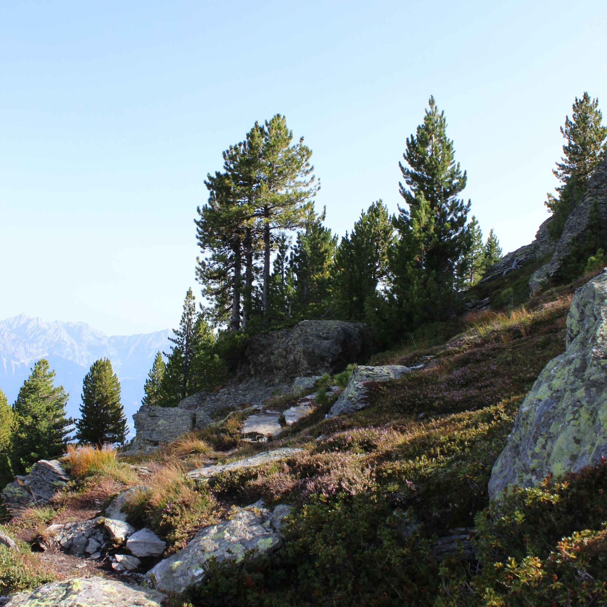
Flora
Flere ture i regionerne