

© Tourismusverband Region Hall-Wattens - Hall Wattens

© Tourismusverband Region Hall-Wattens - Hall Wattens

© Tourismusverband Region Hall-Wattens - Hall Wattens

© Tourismusverband Region Hall-Wattens - Hall Wattens

© Tourismusverband Region Hall-Wattens - Hall Wattens

© Tourismusverband Region Hall-Wattens - Hall Wattens

© Tourismusverband Region Hall-Wattens - Hall Wattens

© Tourismusverband Region Hall-Wattens - Hall Wattens

© Tourismusverband Region Hall-Wattens - Hall Wattens

© Tourismusverband Region Hall-Wattens - Hall Wattens

- Kort beskrivelse
-
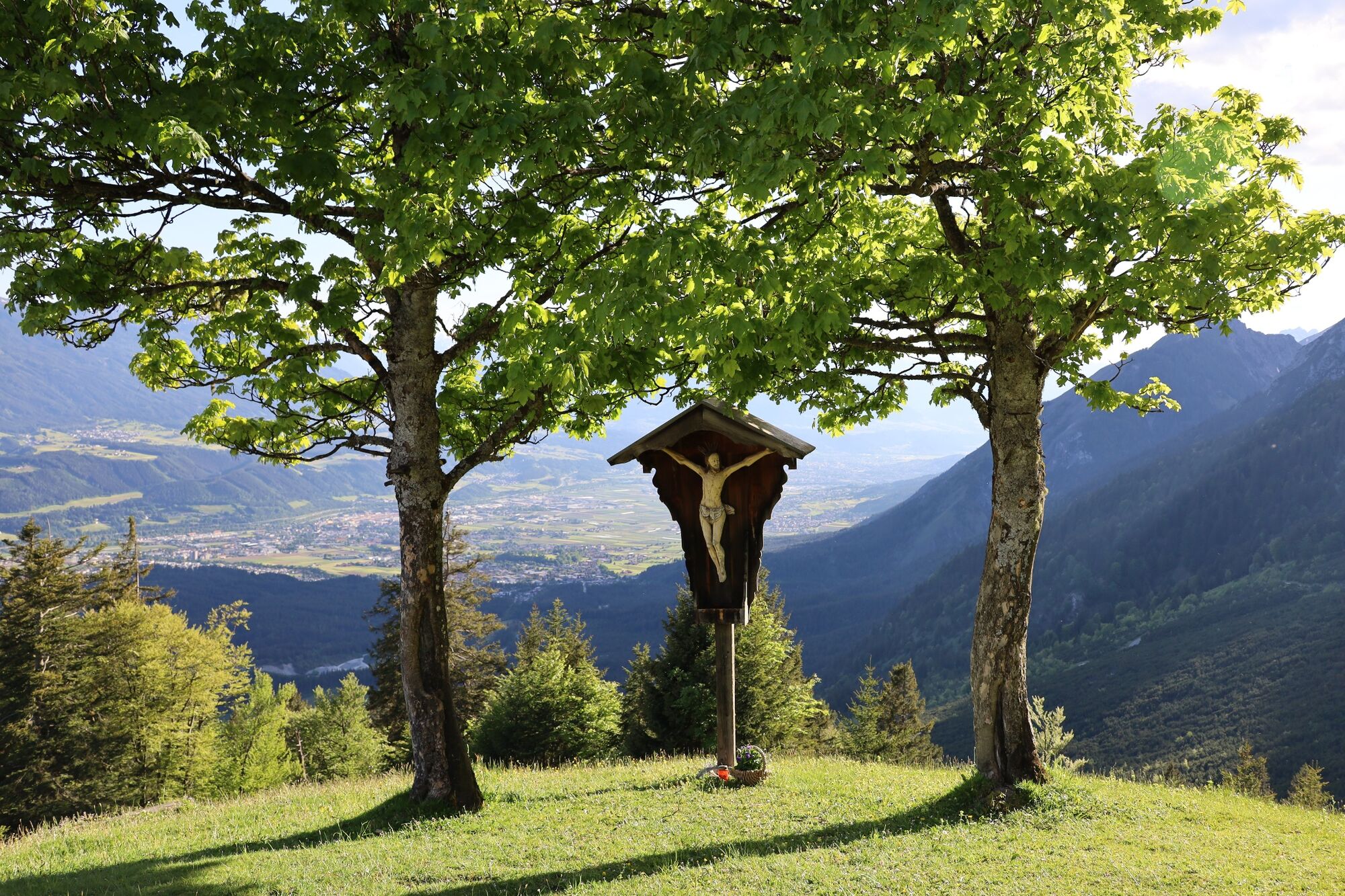
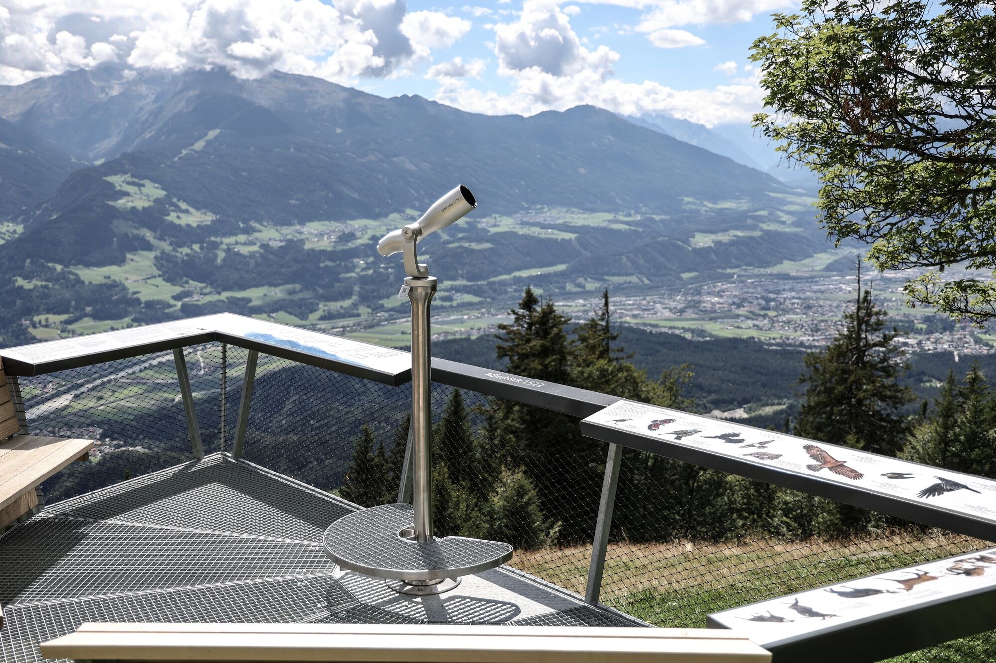
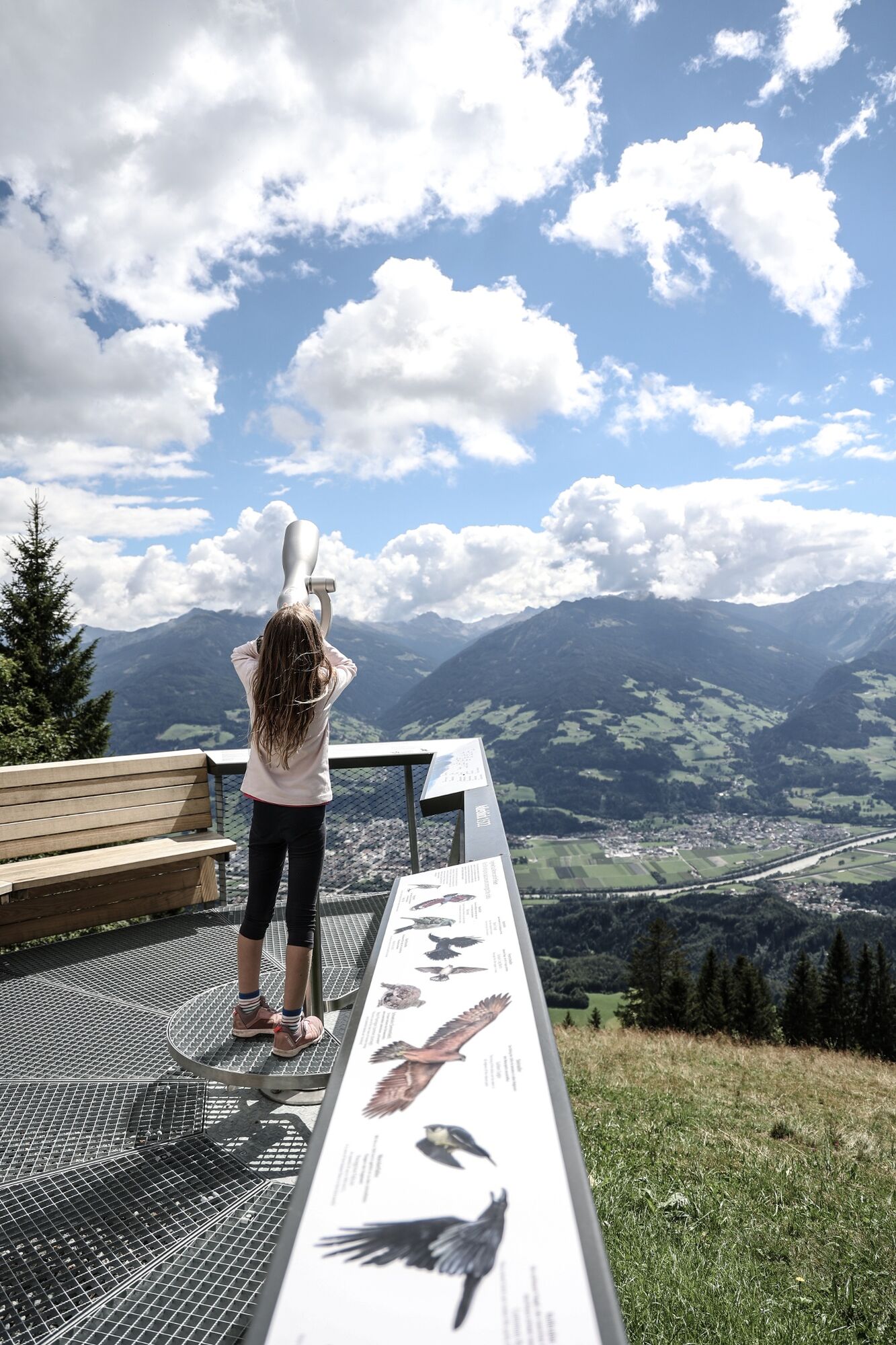
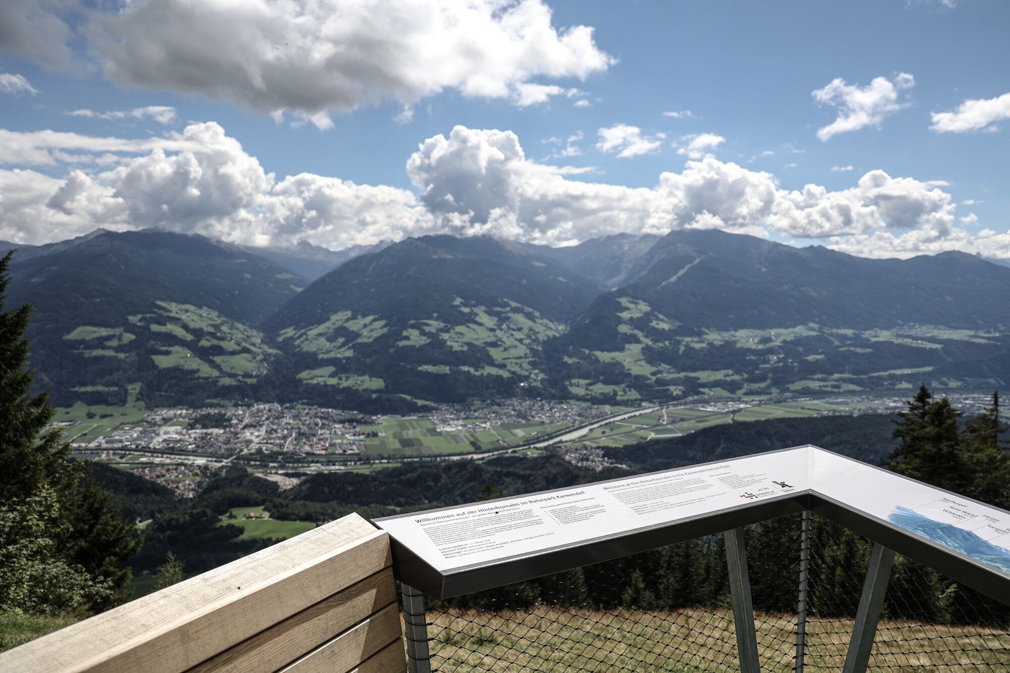
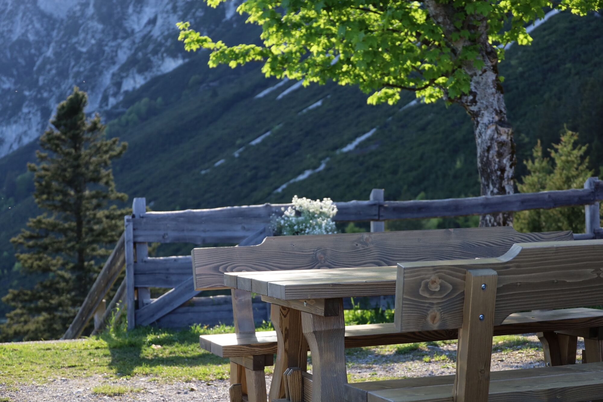
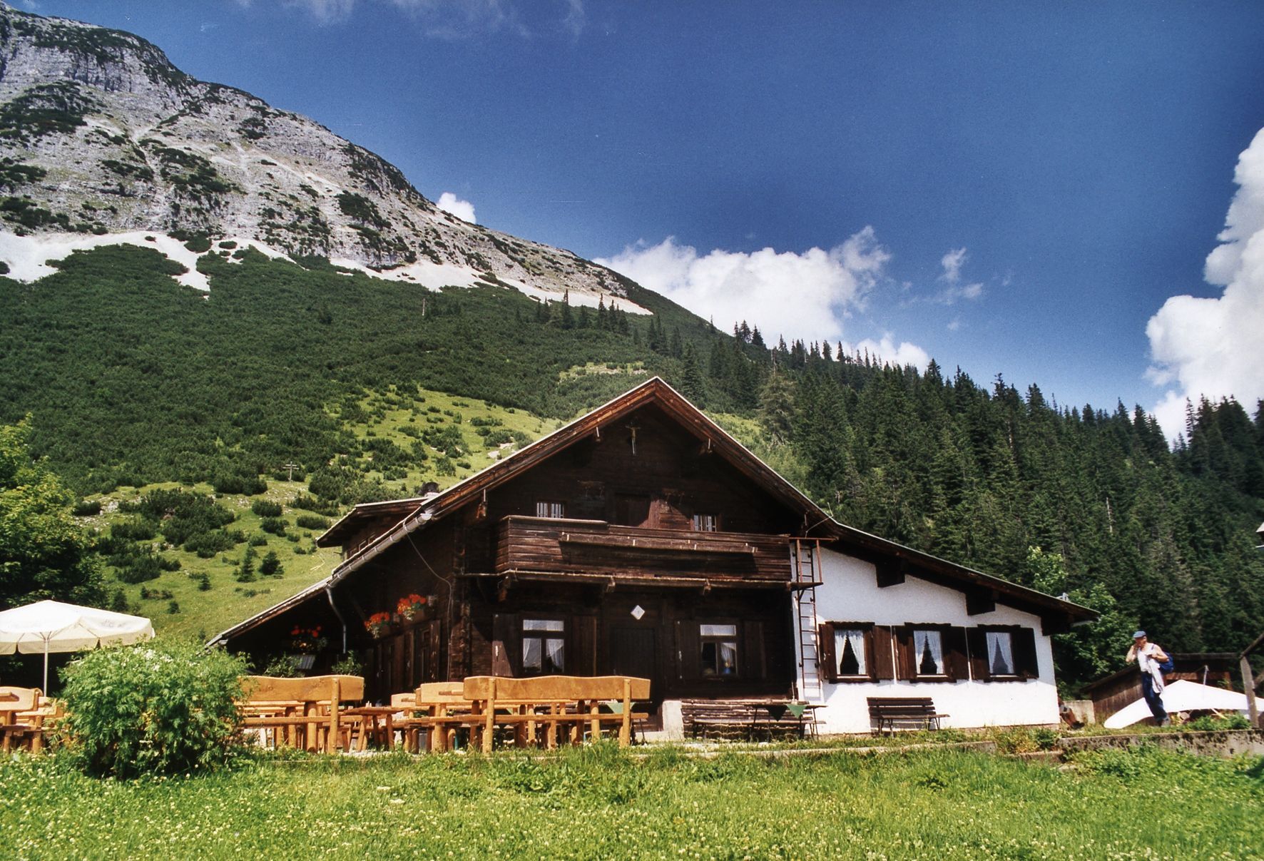
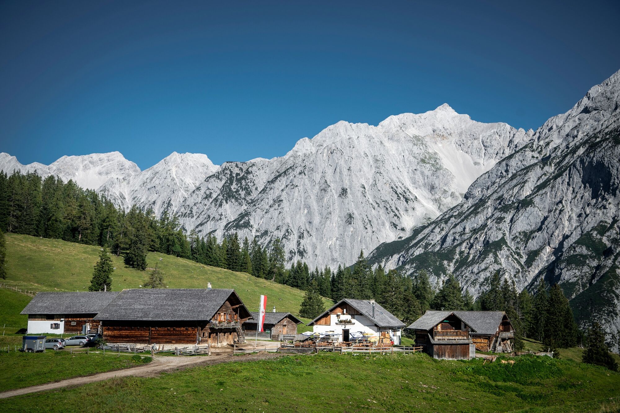
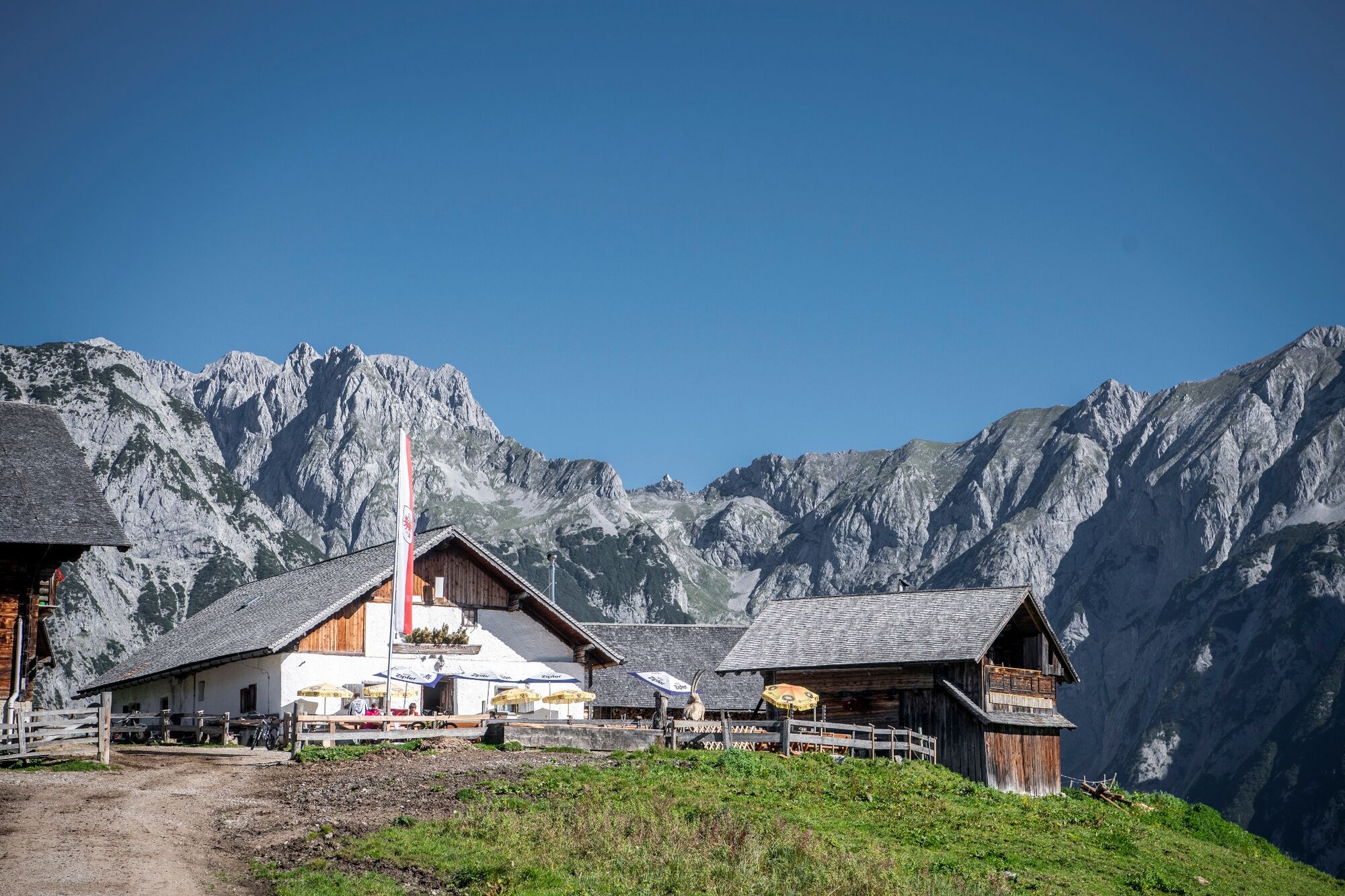
Without difficulties this trail takes you from the Hinterhornalm to the Walderalm
- Sværhedsgrad
-
let
- Evaluering
-
- Rute
-
Hinterhorn Alm0,0 kmWalder Alm1,7 kmHinterhorn Alm3,5 km
- Bedste sæson
-
janfebmaraprmajjunjulaugsepoktnovdec
- Højeste punkt
- 1.625 m
- Destination
-
Gnadenwald
- Højdeprofil
-


- Forfatter
-
Rundvisningen Panoramic views at the trail Hinterhornalm - Walderalm bruges af outdooractive.com forudsat.
GPS Downloads


Generel information
Forfriskningsstop
Lovende
Flere ture i regionerne
-
Ferienregion Hall - Wattens
1492
-
Gnadenwald
354


