Turnédatoer
7,3km
1.756
- 2.211m
650hm
650hm
03:30h
- Kort beskrivelse
-
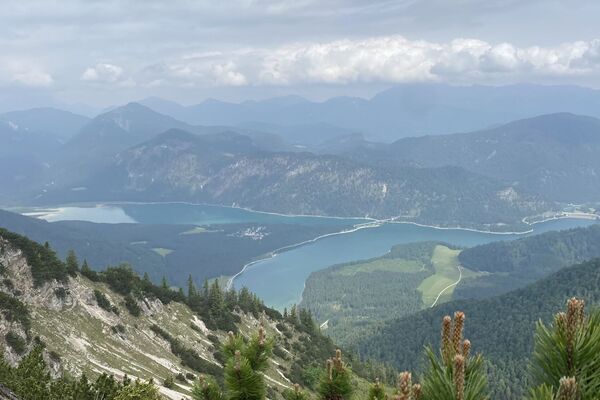
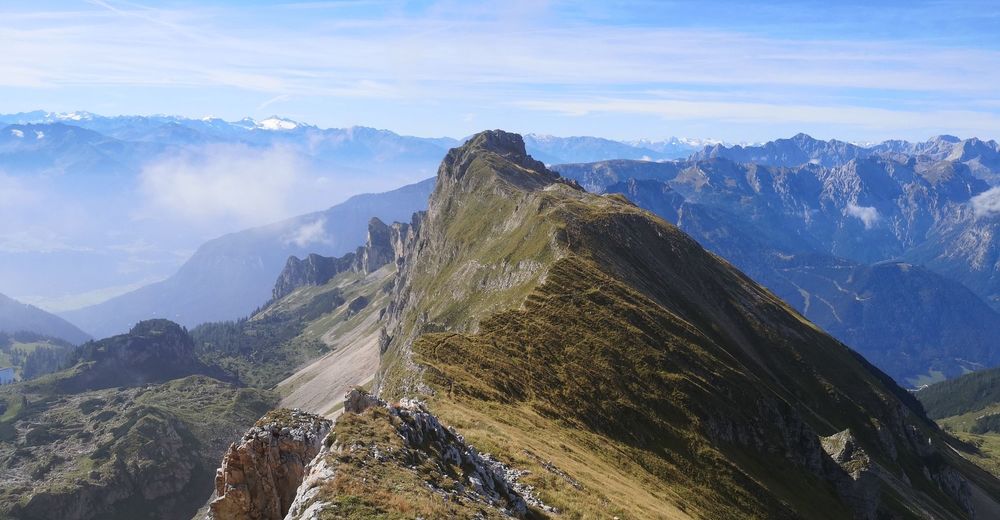
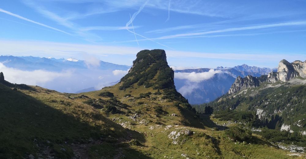
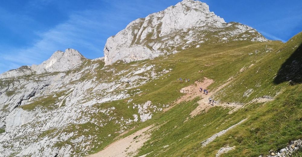
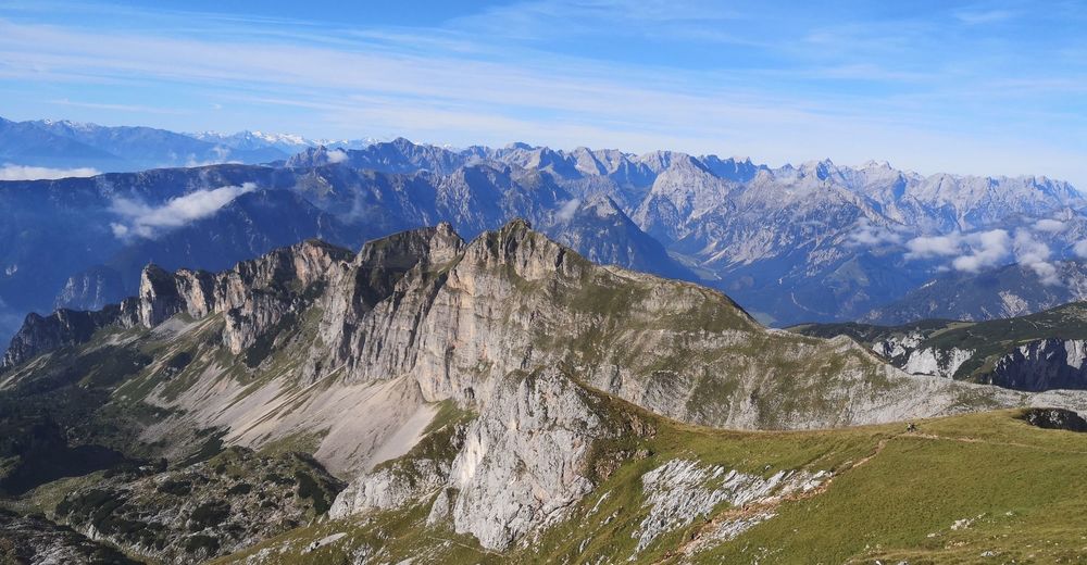
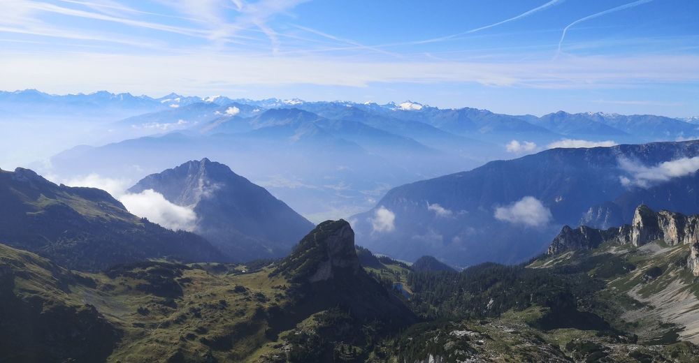
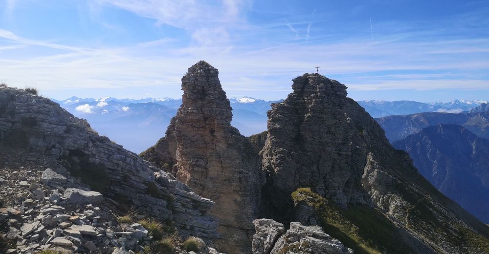
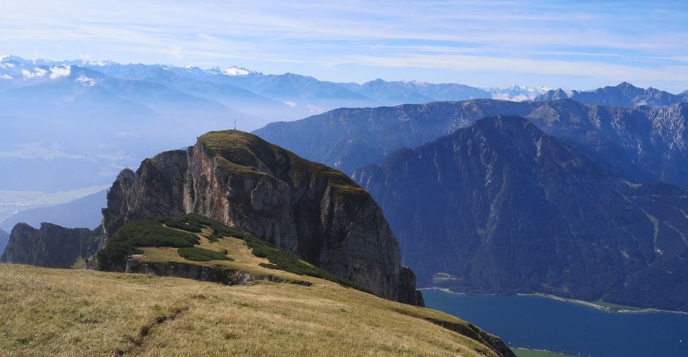
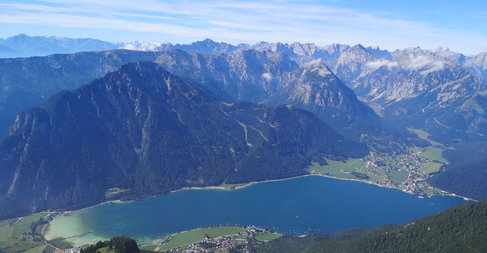
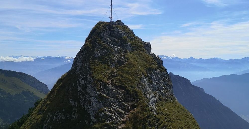
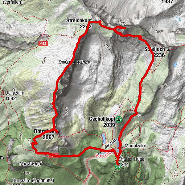
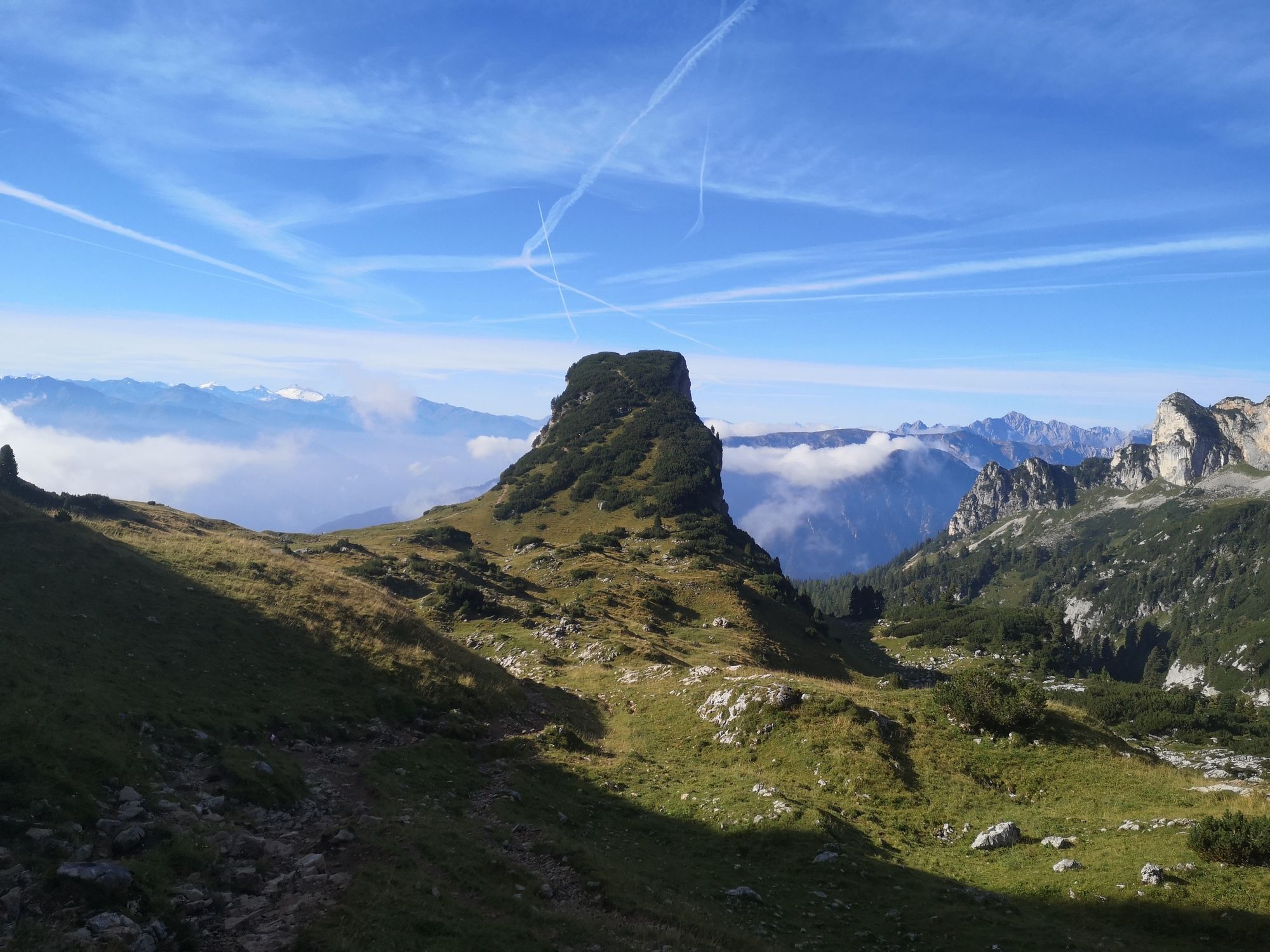
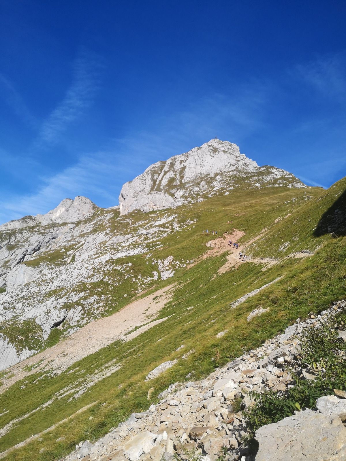
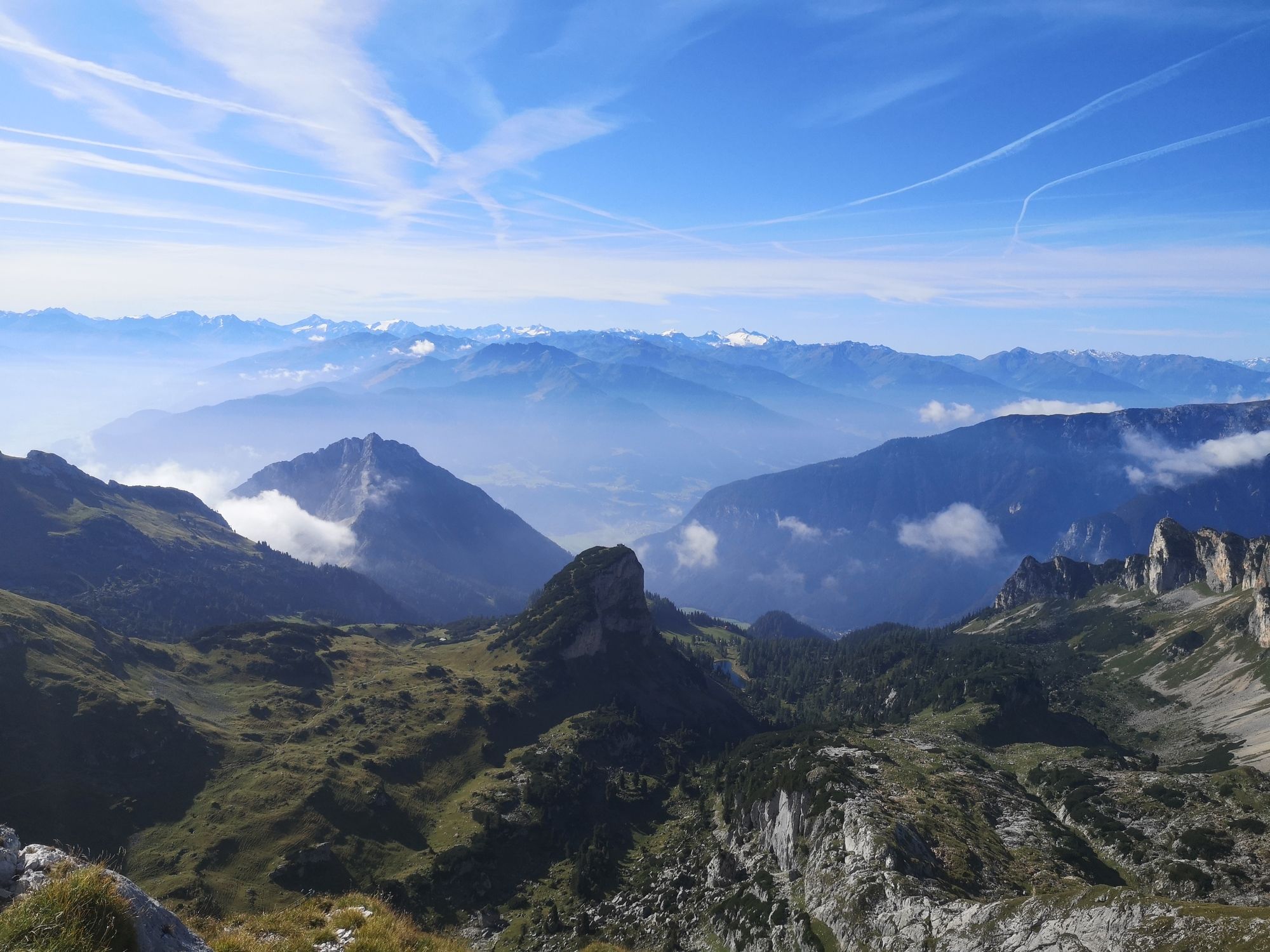
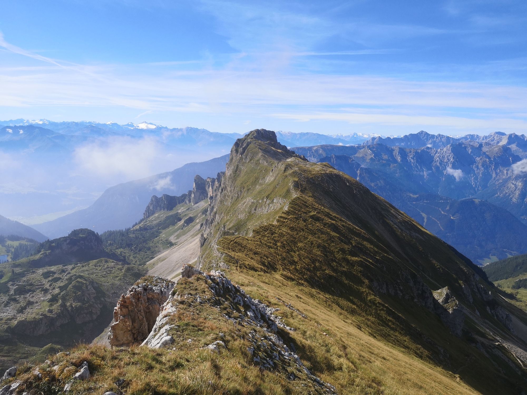
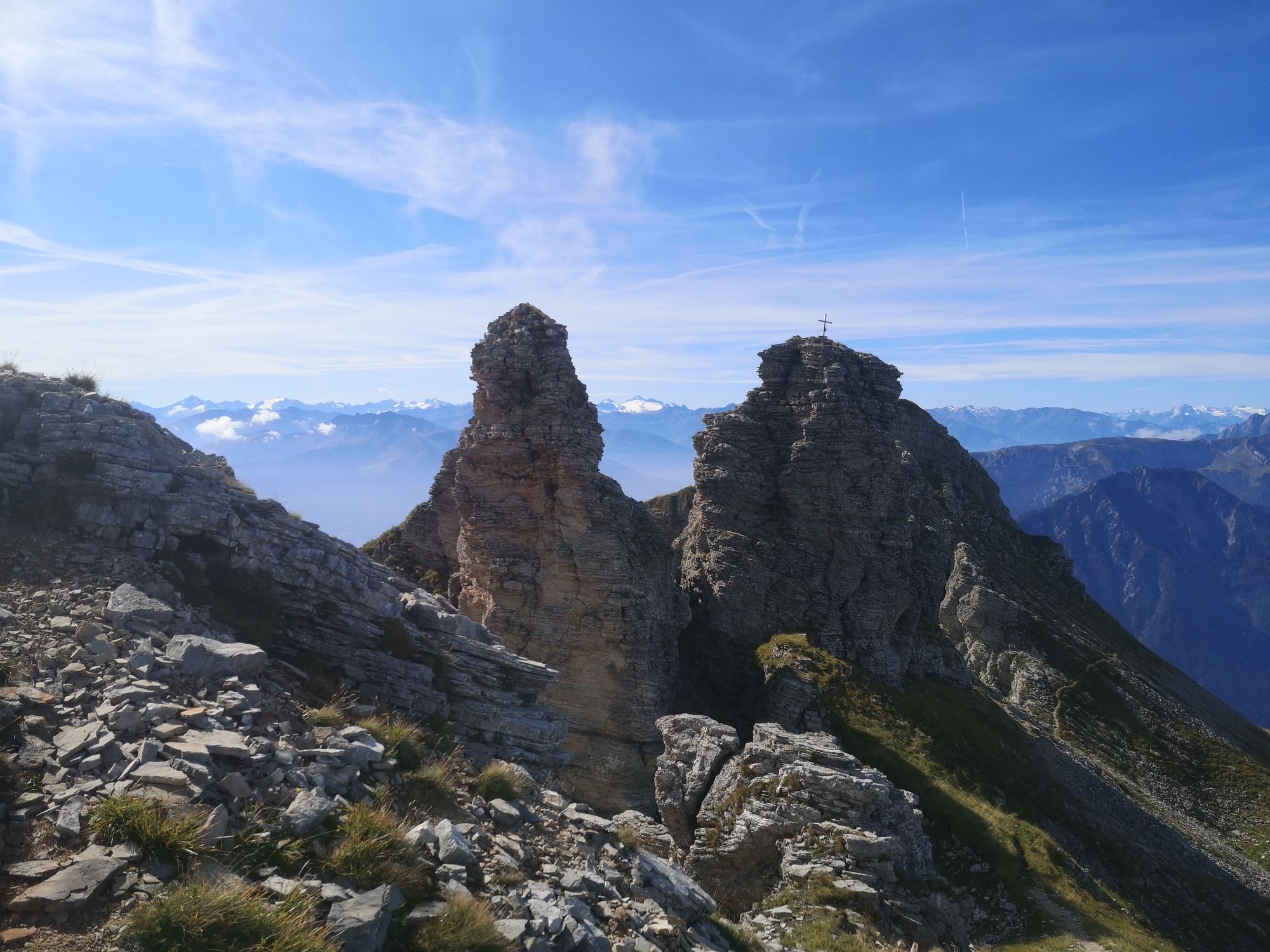
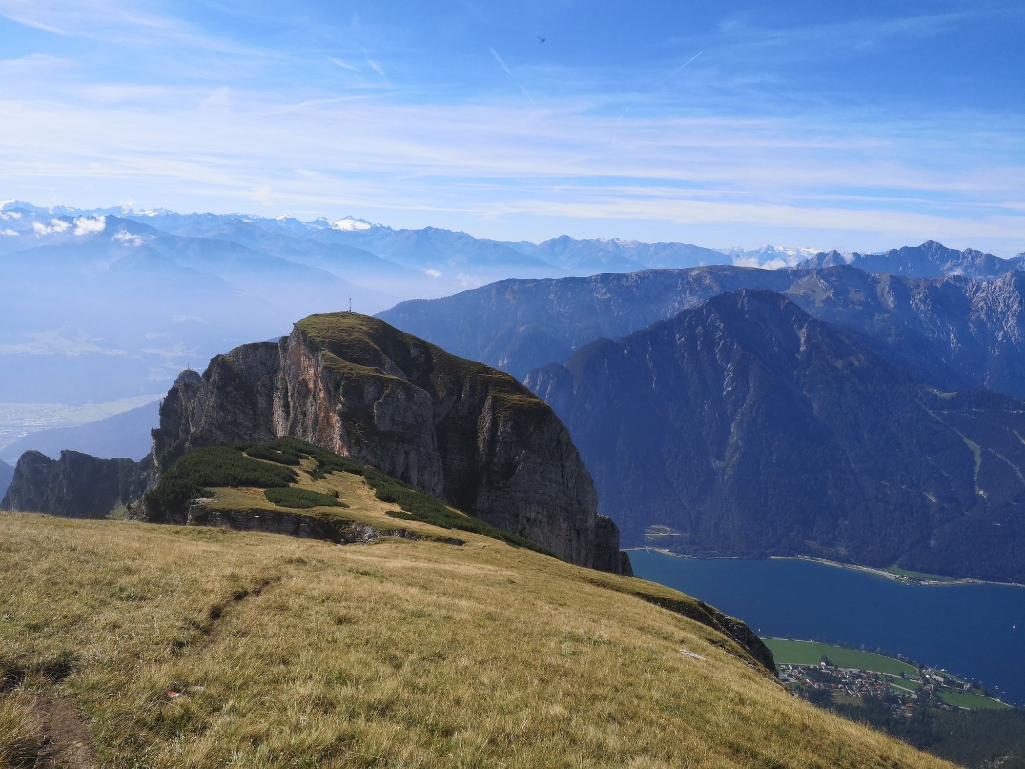
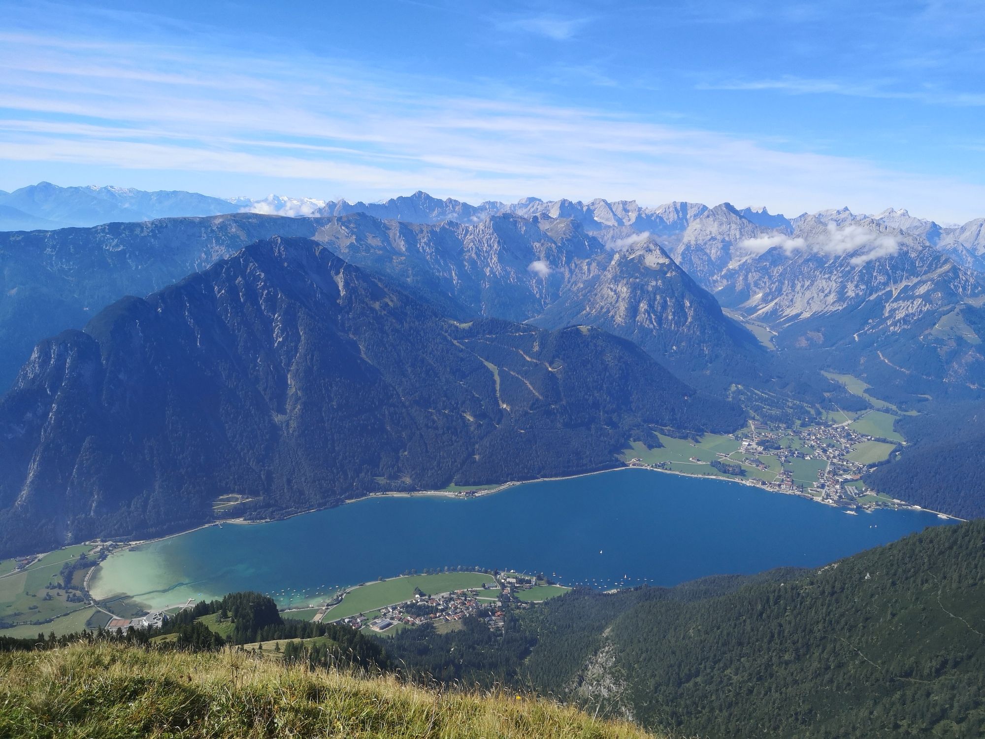
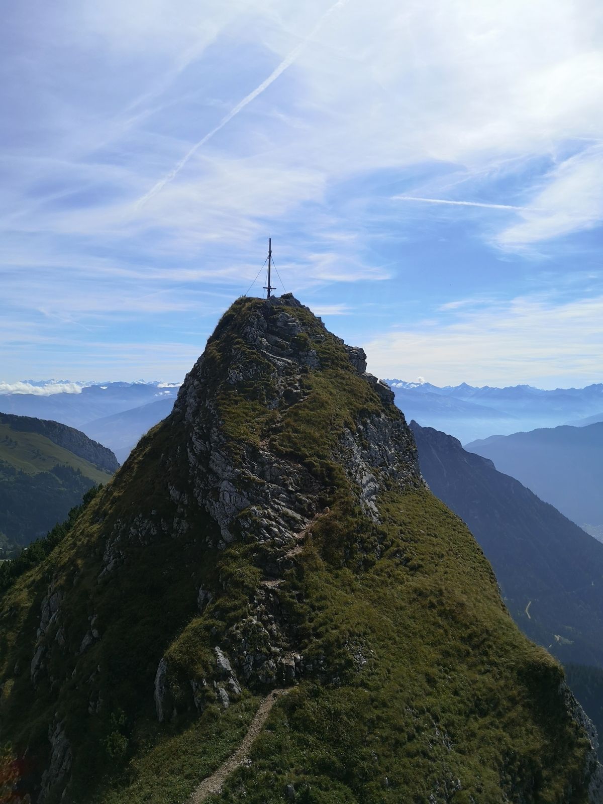
Alpine hike onto Hochiss, the highest peak in the Rofan mountains. The descent along "Dalfazer Kamm" ridge offers stunning views down to Achensee lake and the Karwendel mountains behind.
- Sværhedsgrad
-
tung
- Evaluering
-
- Udgangspunkt
-
Top station "Rofanbahn" gondola
- Rute
-
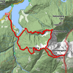
AlmstüberlBerggasthof RofanRofanseilbahn0,0 kmErfurter Hütte0,0 kmJausenstantion Mauritzalm0,3 kmHochiss (2.299 m)2,8 kmStreichkopf (2.243 m)3,3 kmDalfazer Joch (2.233 m)4,0 kmDalfazer Roßkopf (2.143 m)4,7 kmRotspitze (2.067 m)5,1 kmDurrakreuz5,9 kmErfurter Hütte7,2 kmRofanseilbahn7,2 kmAlmstüberl7,3 kmBerggasthof Rofan7,3 km
- Bedste sæson
-
janfebmaraprmajjunjulaugsepoktnovdec
- Højeste punkt
- Hochiss (2.211 m)
- Destination
-
Top station "Rofanbahn" gondola
- Hvil/Tilbagetrækning
-
None along the way, but "Erfurter Hütte" hut at the start or end of the hike (right next to the top station)
- Kortmateriale
-
BEV-map scale 1:25000, NL 32-02-18 West, Achensee

GPS Downloads


Stiens tilstand
Asfalt
Grus
Eng
Skov
Sten
Udsat
Flere ture i regionerne
-
Achensee
1362
-
Maurach - Eben am Achensee
442