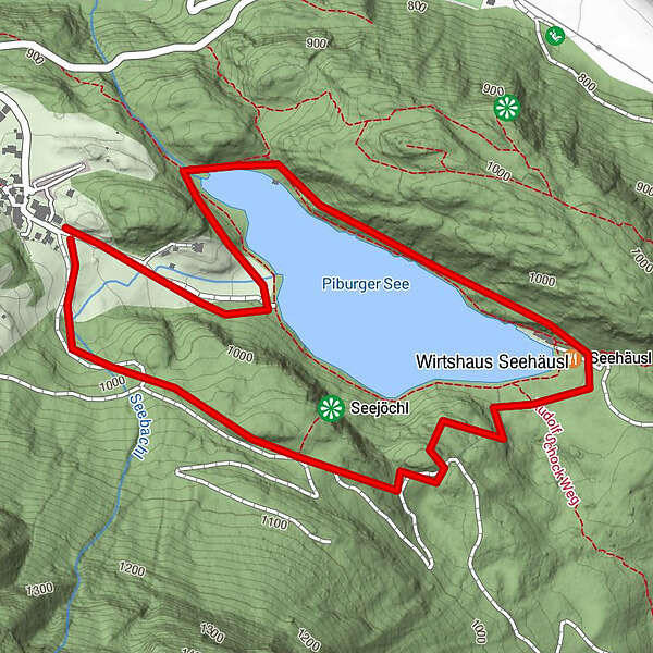
Turnédatoer
3,36km
919
- 1.047m
153hm
145hm
02:00h
- Kort beskrivelse
-
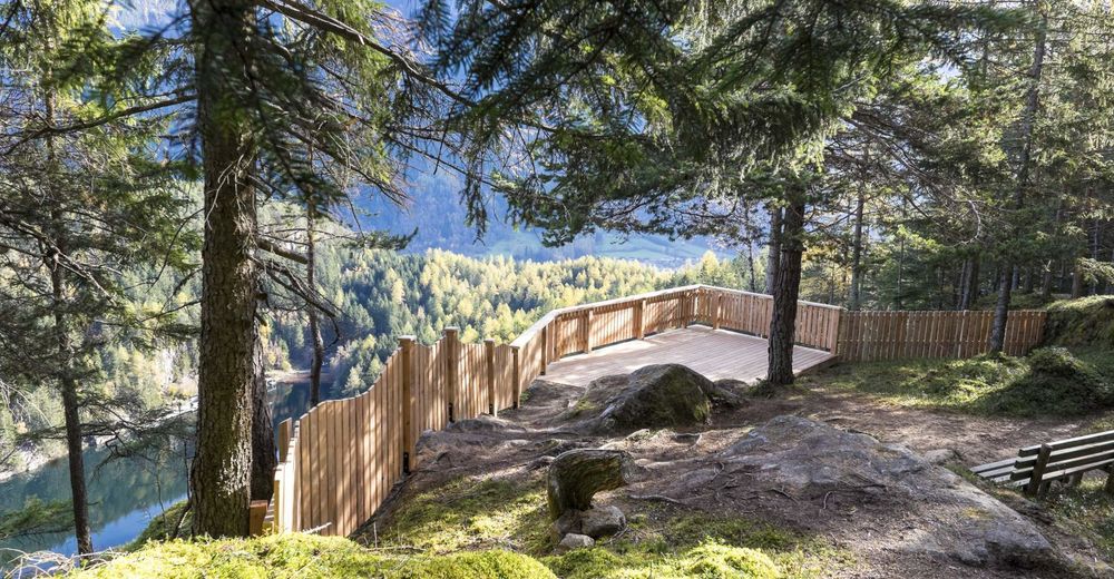
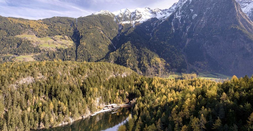
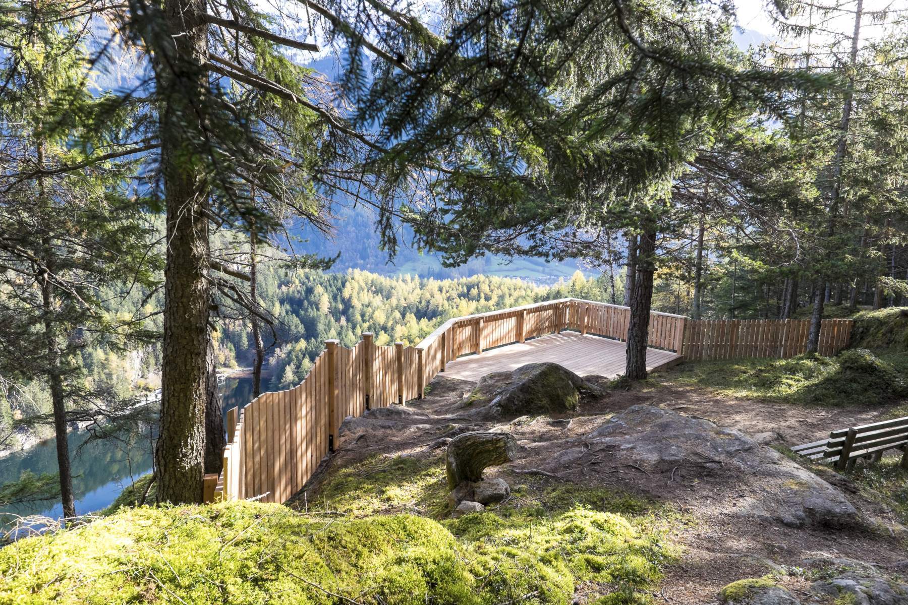
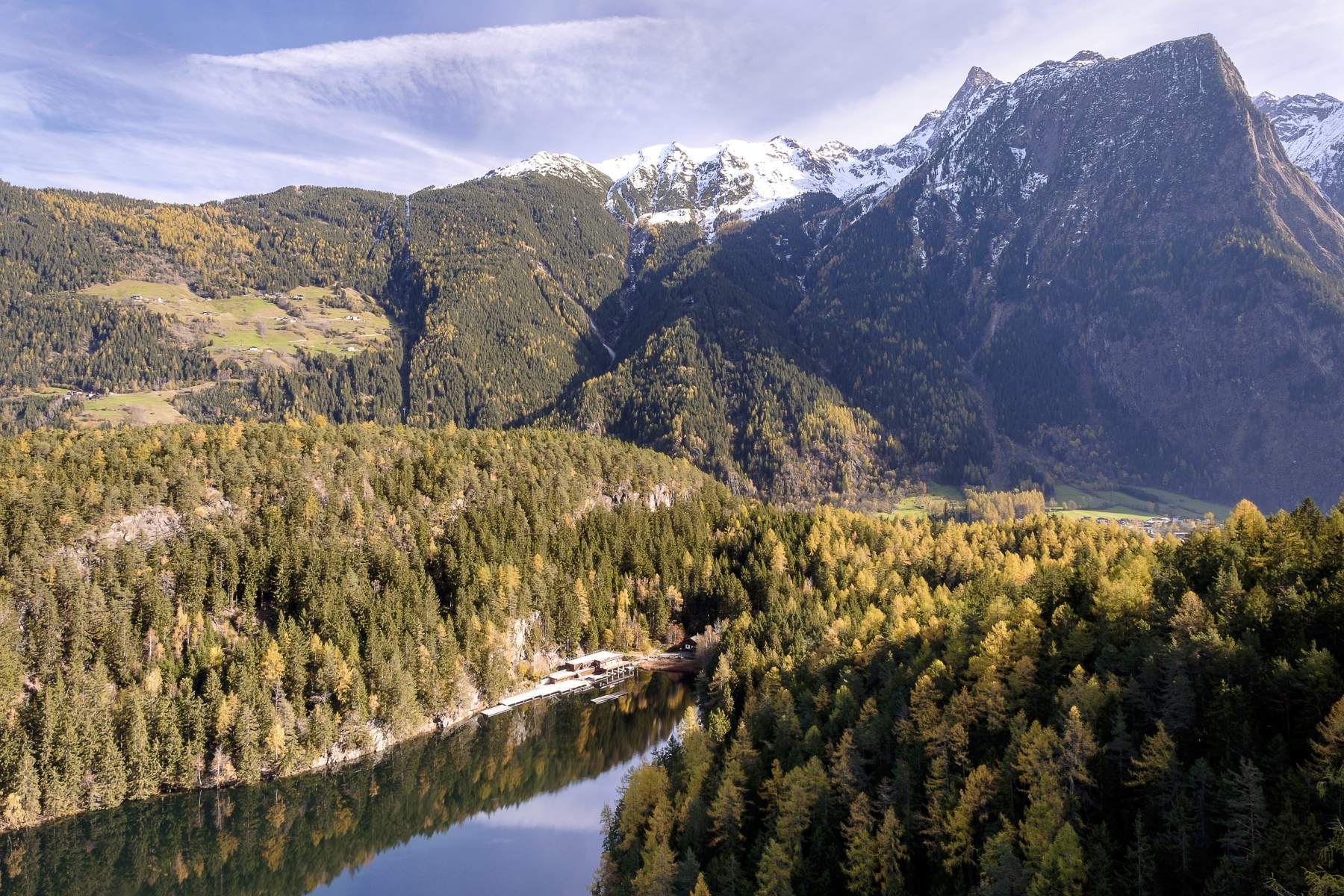
hiking tour with a nice view on the lake
- Sværhedsgrad
-
medium
- Evaluering
-
- Udgangspunkt
-
parking place Piburg
- Rute
-
PiburgSeehäusl1,6 kmSeerestaurant1,7 kmPiburg3,3 km
- Bedste sæson
-
janfebmaraprmajjunjulaugsepoktnovdec
- Højeste punkt
- 1.047 m
- Destination
-
parking place Piburg
- Hvil/Tilbagetrækning
-
At the lake or in Piburg
- Kortmateriale
-
Tourist Office Oetz
GPS Downloads


Stiens tilstand
Asfalt
Grus
Eng
Skov
Sten
Udsat