

Turnédatoer
2,36km
2.201
- 2.410m
264hm
264hm
01:30h
- Kort beskrivelse
-
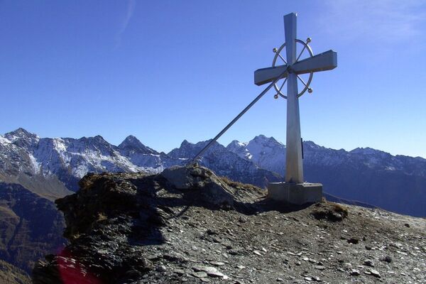
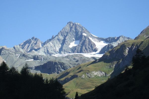
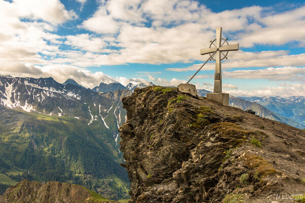
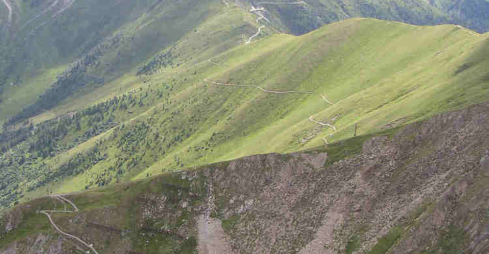
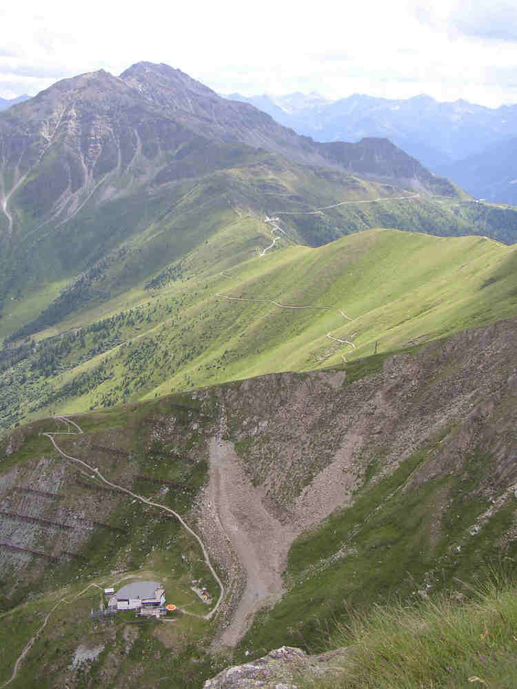
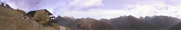
Lehrreiche Familienwanderung mit grandiosem Blick auf über 60 3000er Berggipfel.
- Sværhedsgrad
-
let
- Evaluering
-
- Udgangspunkt
-
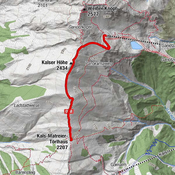
Bergstation Blauspitz
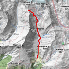
- Rute
-
Kals-Matreier-Törl-Haus (2.207 m)0,0 kmKalser Höhe (2.434 m)1,2 kmBlauspitz2,3 km
- Bedste sæson
-
janfebmaraprmajjunjulaugsepoktnovdec
- Højeste punkt
- 2.410 m
- Hvil/Tilbagetrækning
-
Panoramarestaurant Blauspitz
Kals-Matreier-Törl


GPS Downloads


Stiens tilstand
Asfalt
Grus
(Wanderweg)
Eng
Skov
Sten
Udsat
Flere ture i regionerne