© TVB Wilder Kaiser - TVB Wilder Kaiser Söll/dasbauernhaus

© TVB Wilder Kaiser - TVB Wilder Kaiser Söll/dasbauernhaus

© TVB Wilder Kaiser

© TVB Wilder Kaiser

© TVB Wilder Kaiser - Gasthof Bocking/Marlene

- Kort beskrivelse
-
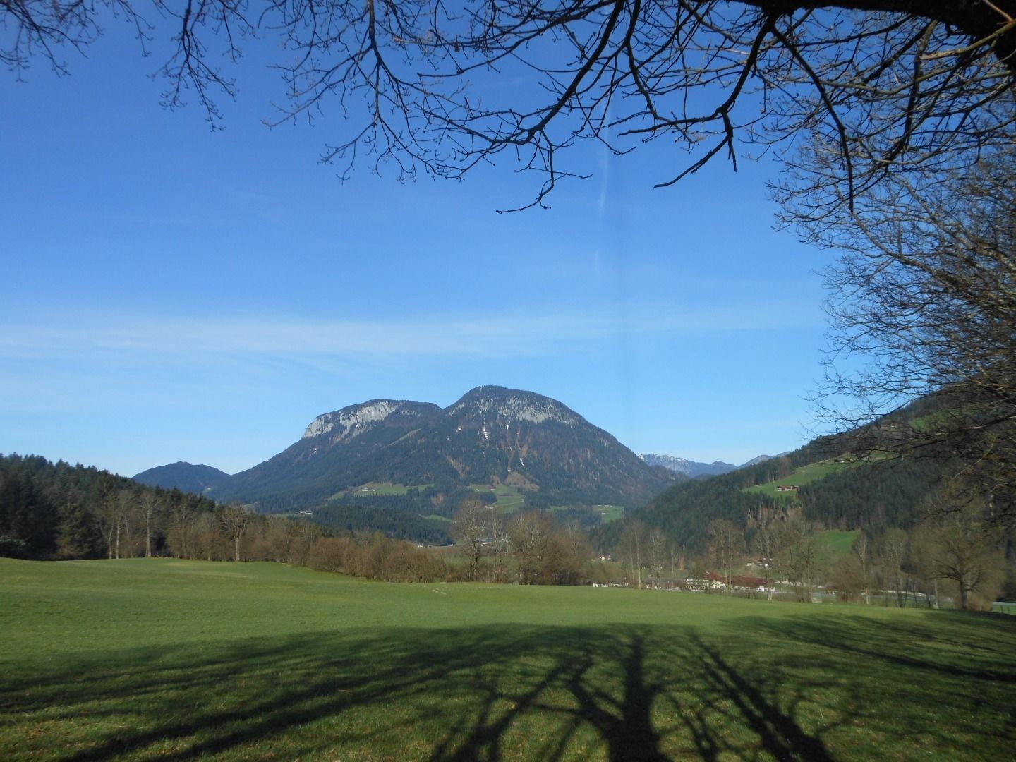
Quietness, strength and with easy breathing steadily closer to the Wilder Kaiser.
You can return on foot or by bus. - Sværhedsgrad
-
let
- Evaluering
-
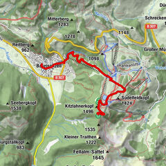
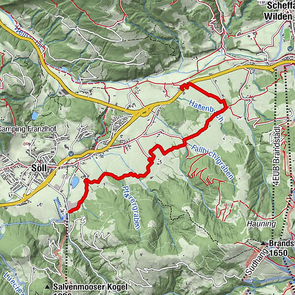
- Rute
-
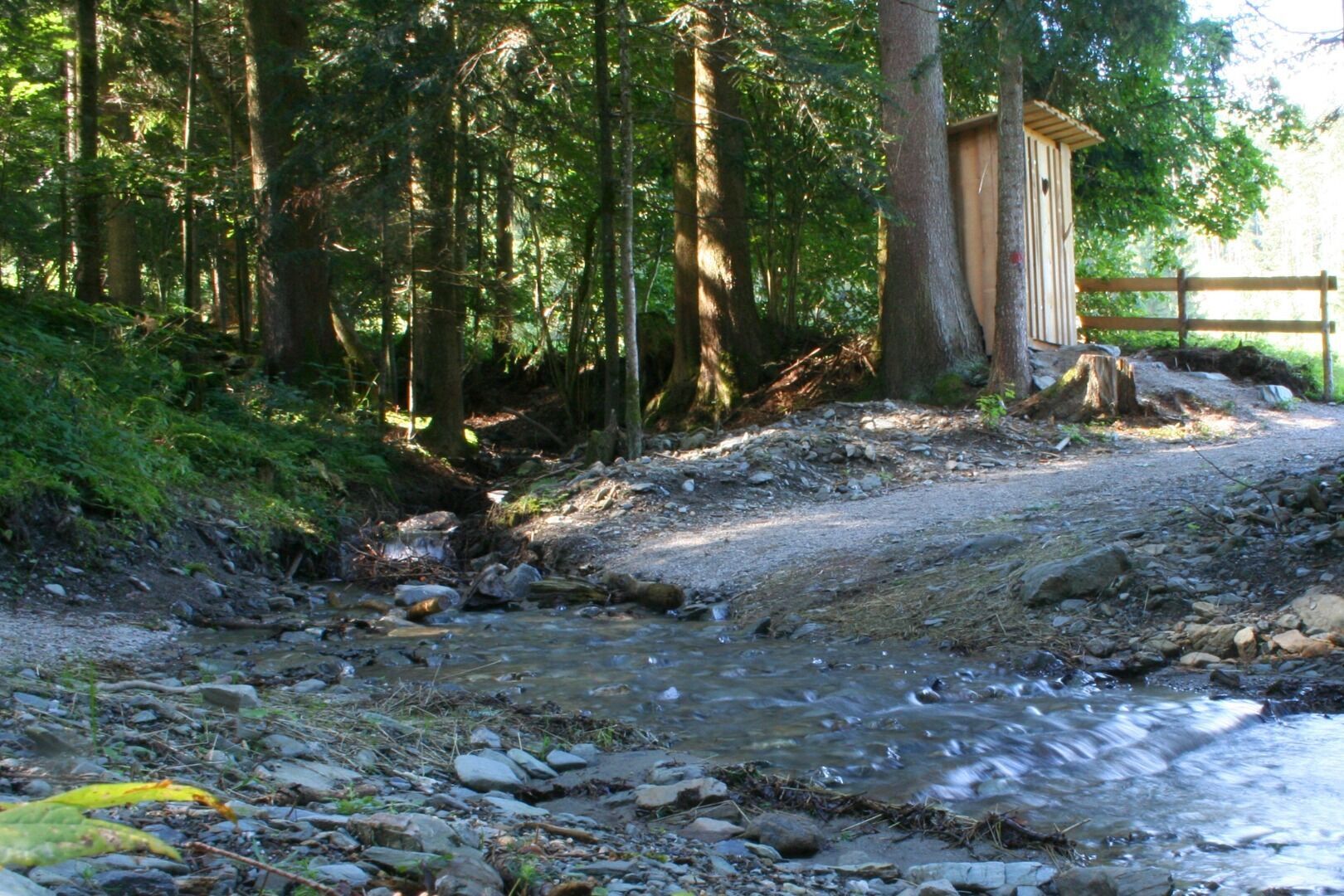
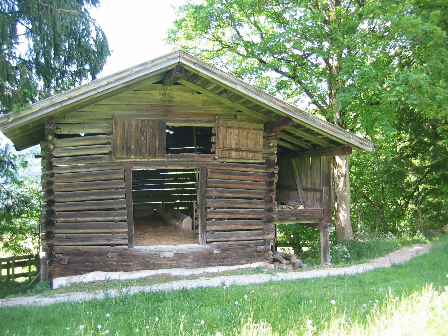
Bach0,6 kmBocking5,4 km
- Bedste sæson
-
janfebmaraprmajjunjulaugsepoktnovdec
- Højeste punkt
- 779 m
- Destination
-
Gasthof Bocking, Söll (665 m)
- Højdeprofil
-


- Forfatter
-
Rundvisningen Schattseit trail route bruges af outdooractive.com forudsat.
GPS Downloads


Generel information
Forfriskningsstop
Flere ture i regionerne
-
Wilder Kaiser
1946
-
Söll
609