

© TVB Wilder Kaiser

© TVB Wilder Kaiser - Gashof Rigi/Familie Eisenmann

© TVB Wilder Kaiser

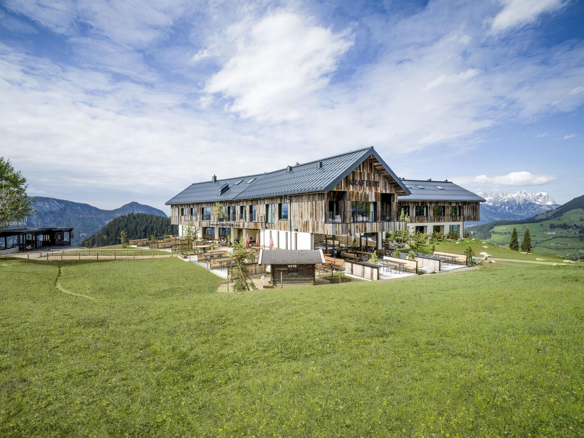
© TVB Wilder Kaiser - Kraftalm/defrancesco

© TVB Wilder Kaiser - TVB Wilder Kaiser/Elmar Bichler


- Kort beskrivelse
-
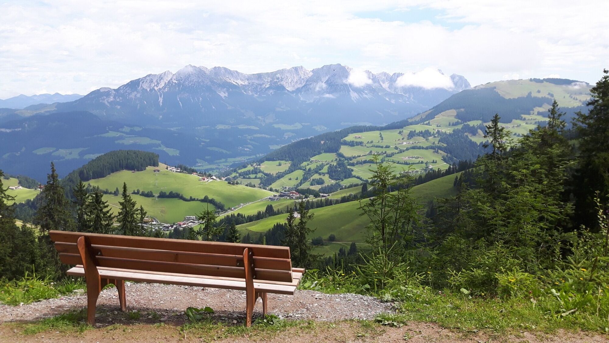
Enjoy the scenic area of the Hohe Salve where the Söll waters originate.
- Sværhedsgrad
-
medium
- Evaluering
-
- Rute
-
Hochsöll0,0 kmSiller-Keat (1.500 m)2,4 kmKälbersalve Alm3,5 kmJausenstation Kälberalm5,7 kmKapelle7,4 kmHochsöll10,2 km
- Bedste sæson
-
janfebmaraprmajjunjulaugsepoktnovdec
- Højeste punkt
- 1.603 m
- Destination
-
Exit Keat chairlift, Söll (1,533 m)
- Højdeprofil
-


- Forfatter
-
Rundvisningen Quellen circular route bruges af outdooractive.com forudsat.
GPS Downloads


Generel information
Forfriskningsstop
Insider-tip
Lovende
Flere ture i regionerne
-
Region Hohe Salve
1789
-
Söll
609


