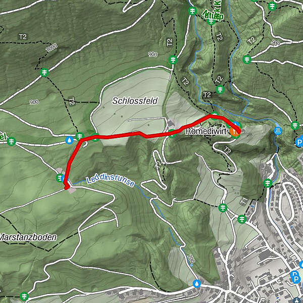
From the Thaurer Almparkplatz over the Thaurer castle to the Romediwirt


© Tourismusverband Region Hall-Wattens - Hall Wattens

© Tourismusverband Region Hall-Wattens - Hall Wattens

© Tourismusverband Region Hall-Wattens - Hall Wattens

© Tourismusverband Region Hall-Wattens - Hall Wattens

© Tourismusverband Region Hall-Wattens - Hall Wattens

© Tourismusverband Region Hall-Wattens - Hall Wattens
- Kort beskrivelse
-
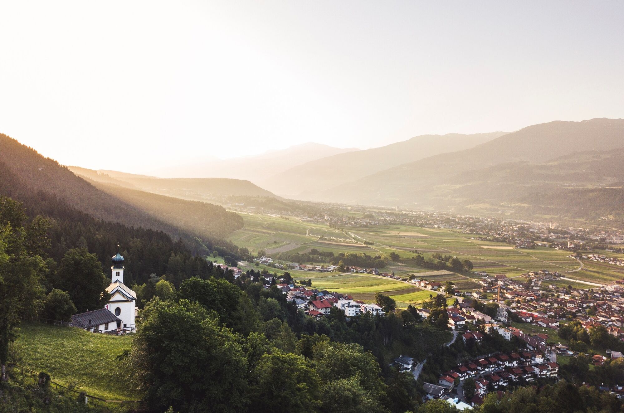
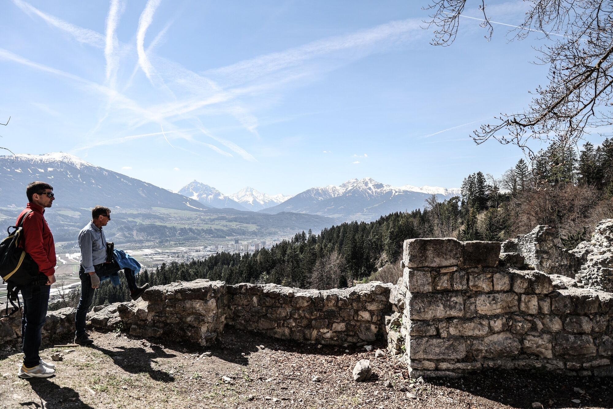
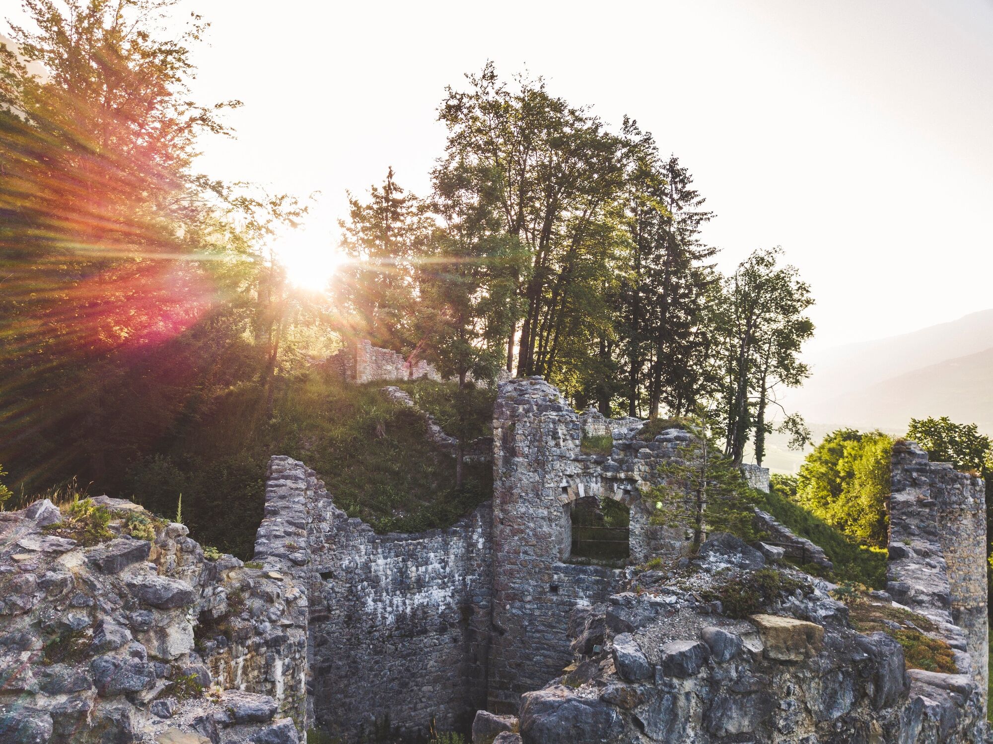
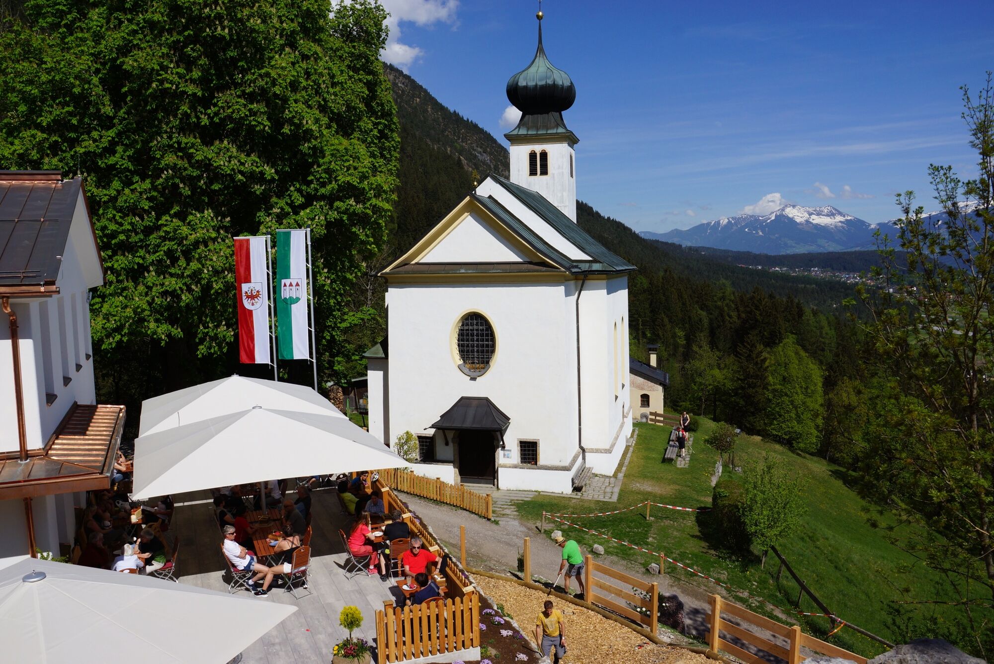
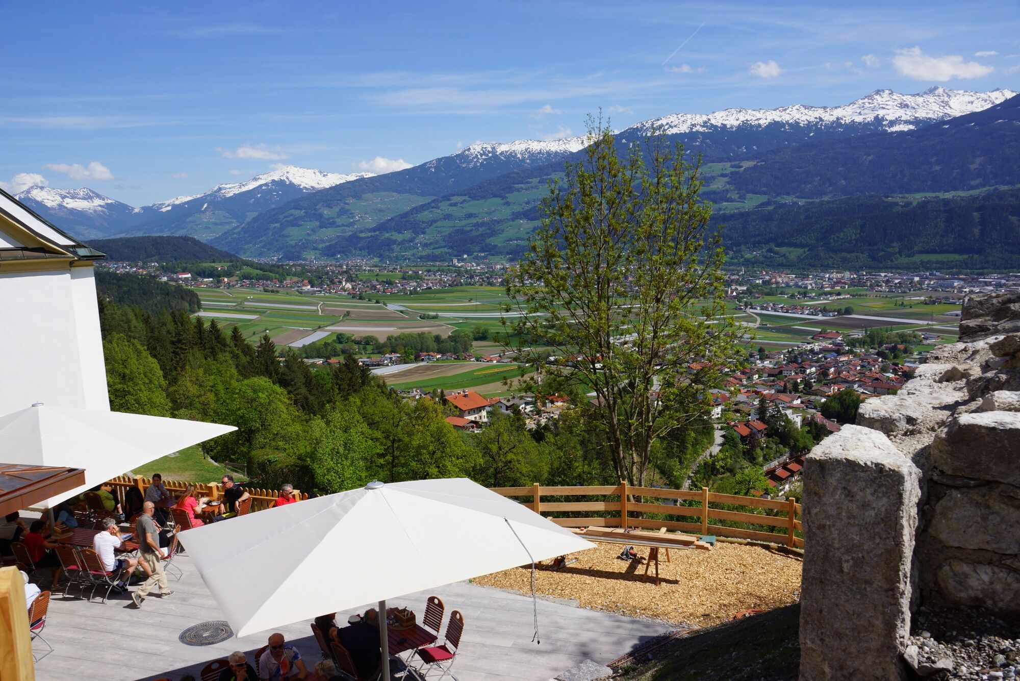
This short walk leads us over the Thaur castle ruin to the newly built Romediwirt.
- Sværhedsgrad
-
let
- Evaluering
-
- Rute
-
Romediwirt0,9 km100,9 kmSchlosskirche St. Romedius0,9 km
- Bedste sæson
-
janfebmaraprmajjunjulaugsepoktnovdec
- Højeste punkt
- 855 m
- Destination
-
Thaur
- Højdeprofil
-


-

-
ForfatterRundvisningen From the Thaurer Almparkplatz over the Thaurer castle to the Romediwirt bruges af outdooractive.com forudsat.
GPS Downloads


Generel information
Forfriskningsstop
Kulturel/Historisk
Flere ture i regionerne
-
Innsbruck und seine Feriendörfer
1520
-
Thaur
356


