© TVB Tannheimer Tal
© Tannheimer Tal - Tourismusverband Tannheimer Tal
© Tannheimer Tal - Tourismusverband Tannheimer Tal
© Tannheimer Tal - Tourismusverband Tannheimer Tal

© Ferienregion Tannheimer Tal

© Ferienregion Tannheimer Tal
© Ferienregion Tannheimer Tal

© Ferienregion Tannheimer Tal

© Tannheimer Tal - kUNO

© Tannheimer Tal - kUNO
- Kort beskrivelse
-
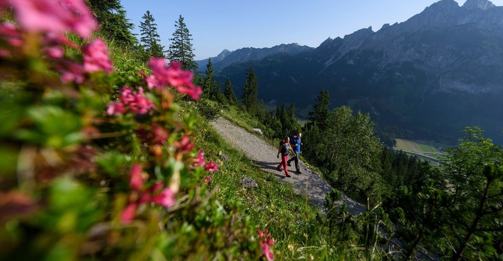
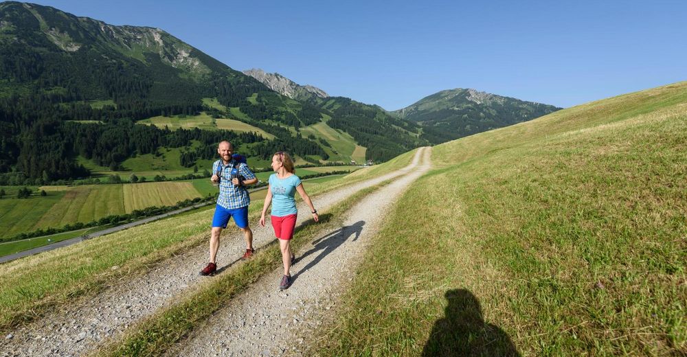
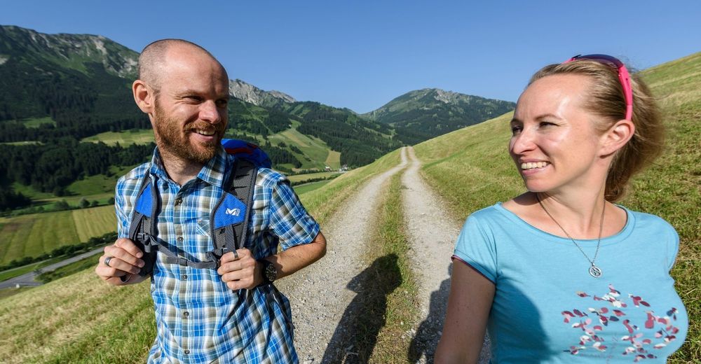
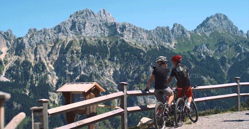
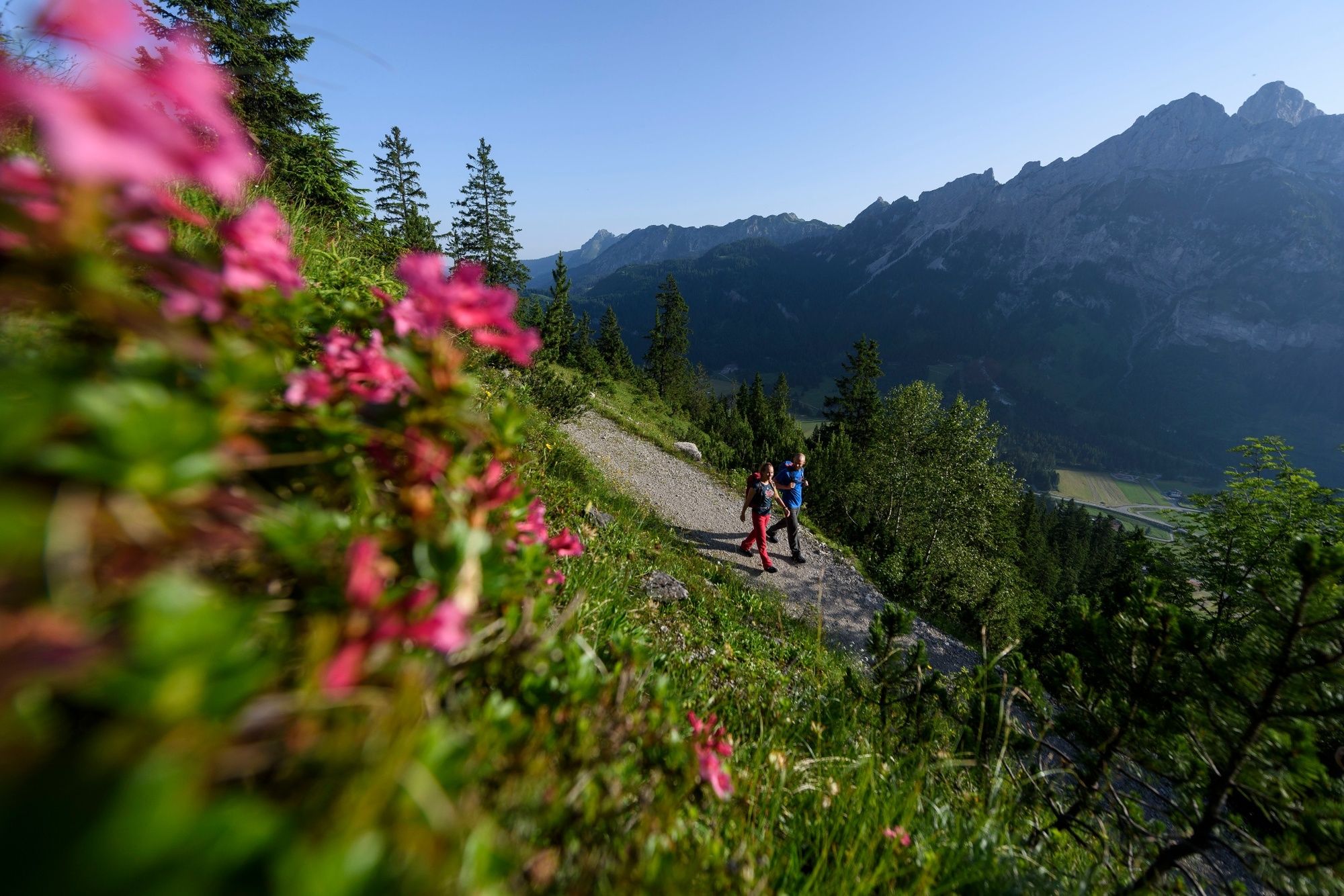
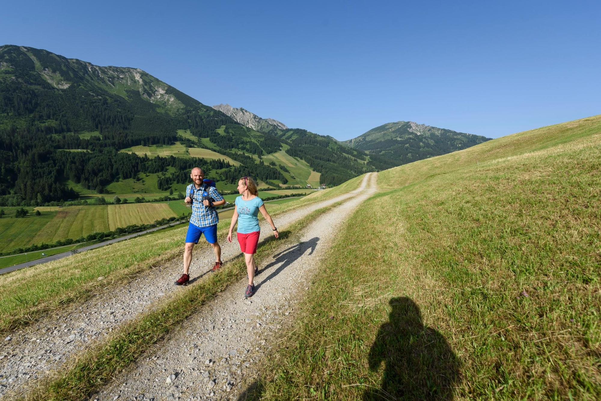
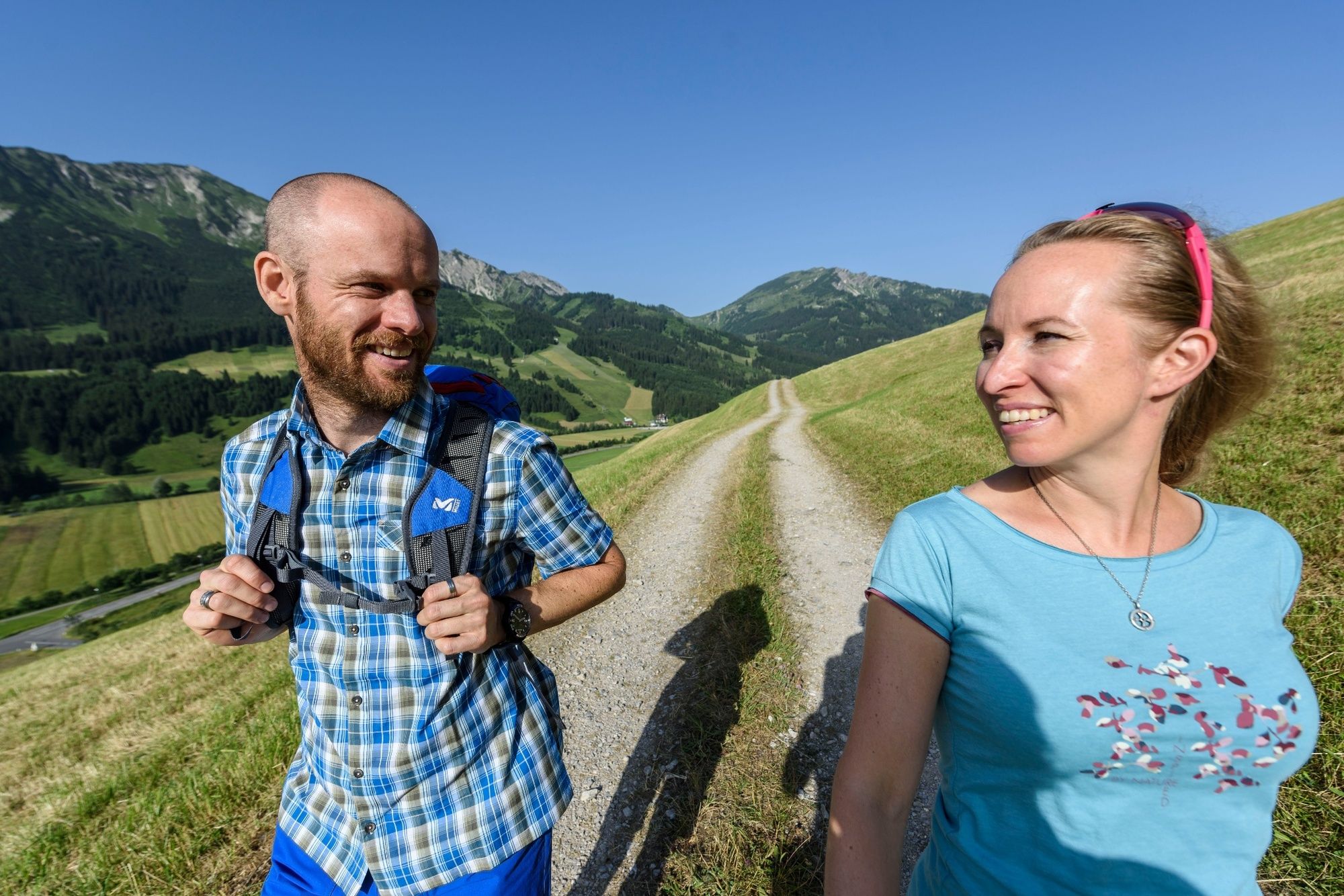
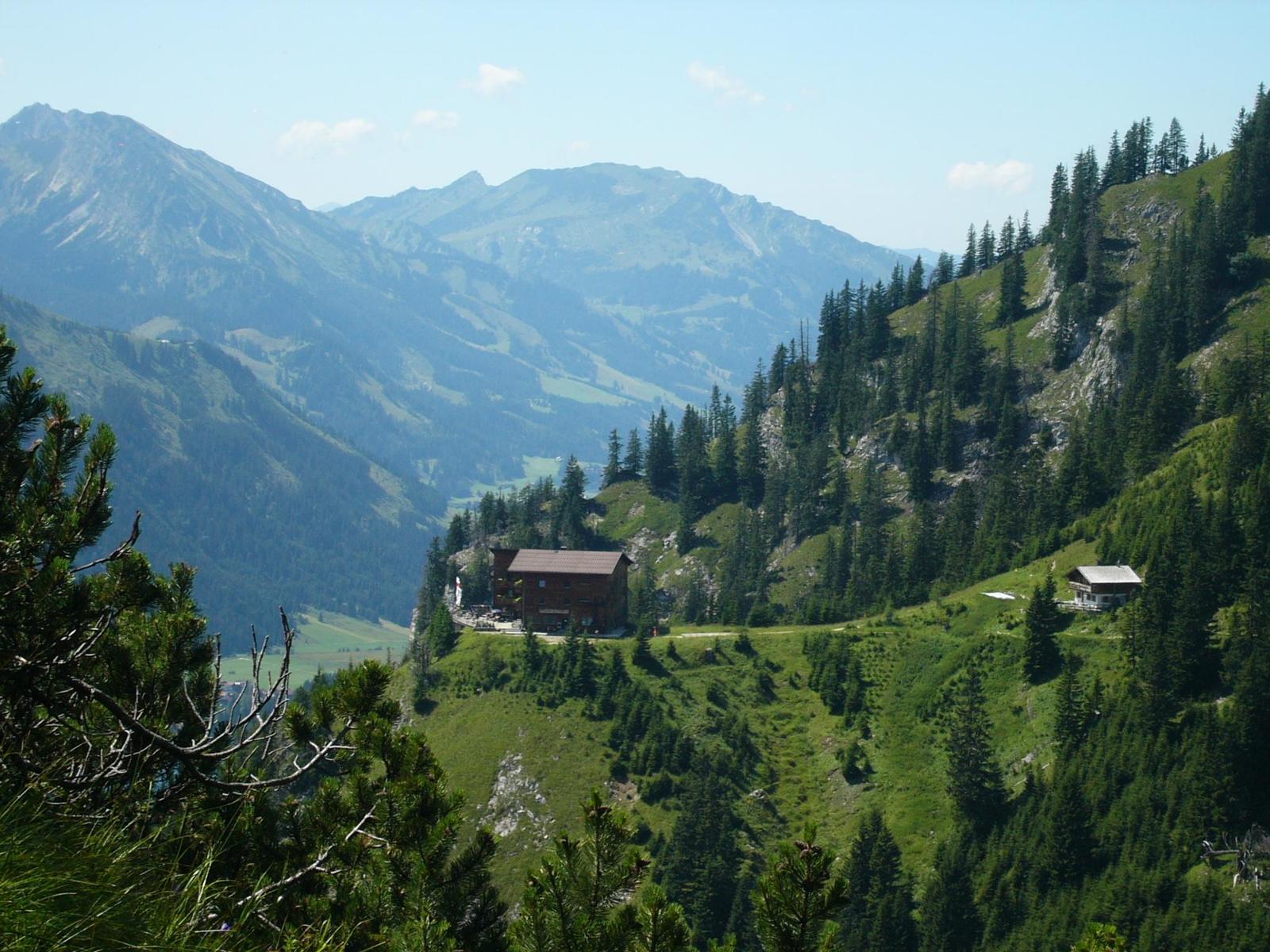
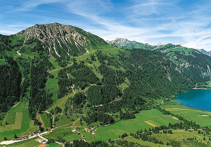
A wonderful hike to the foot of the climbing mountains of the Tannheim group.
- Sværhedsgrad
-
medium
- Evaluering
-
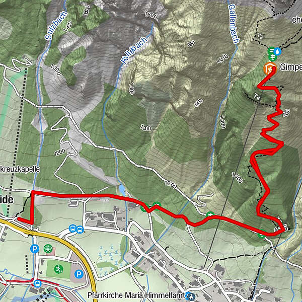
- Rute
-
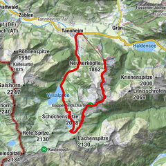
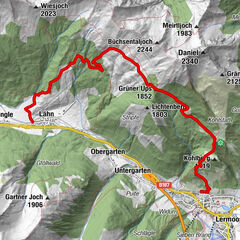
SchmitteNesselwängle (1.136 m)0,9 kmGimpelhaus2,6 kmSchmitte5,0 km
- Bedste sæson
-
janfebmaraprmajjunjulaugsepoktnovdec
- Højeste punkt
- 1.654 m
- Destination
-
West parking in Nesselwängle
- Højdeprofil
-


- Forfatter
-
Rundvisningen Gimpelhaus bruges af outdooractive.com forudsat.
GPS Downloads


Generel information
Forfriskningsstop
Lovende
Flere ture i regionerne
-
Allgäu
2359
-
Tannheimer Tal
1448
-
Nesselwängle
588