
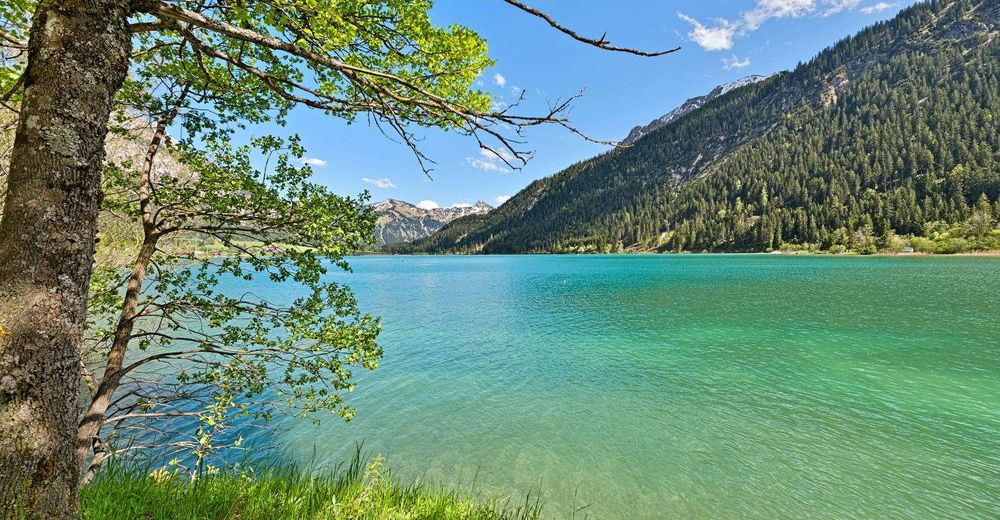
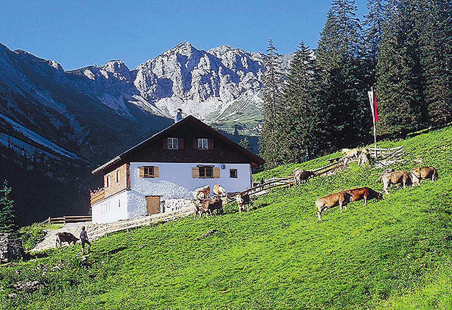
© Tannheimer Tal - Achim Meurer
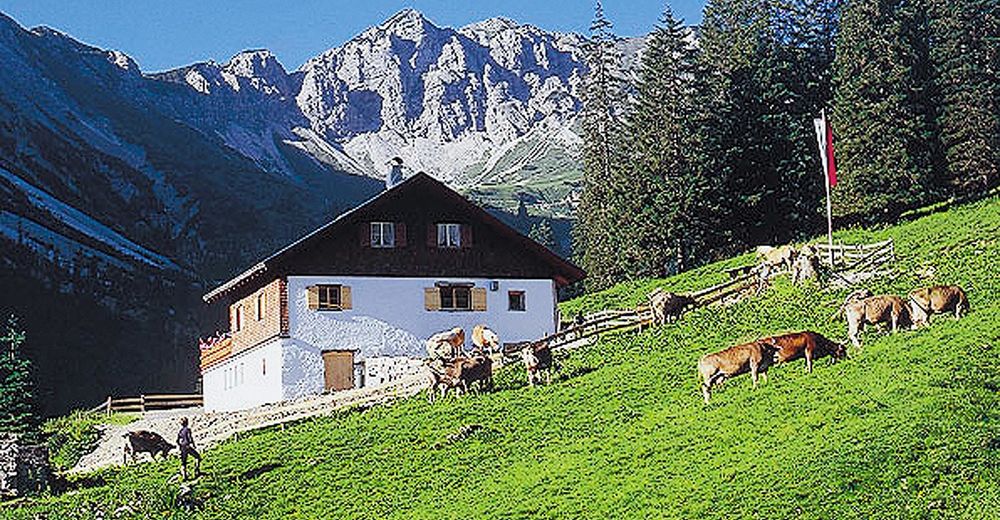
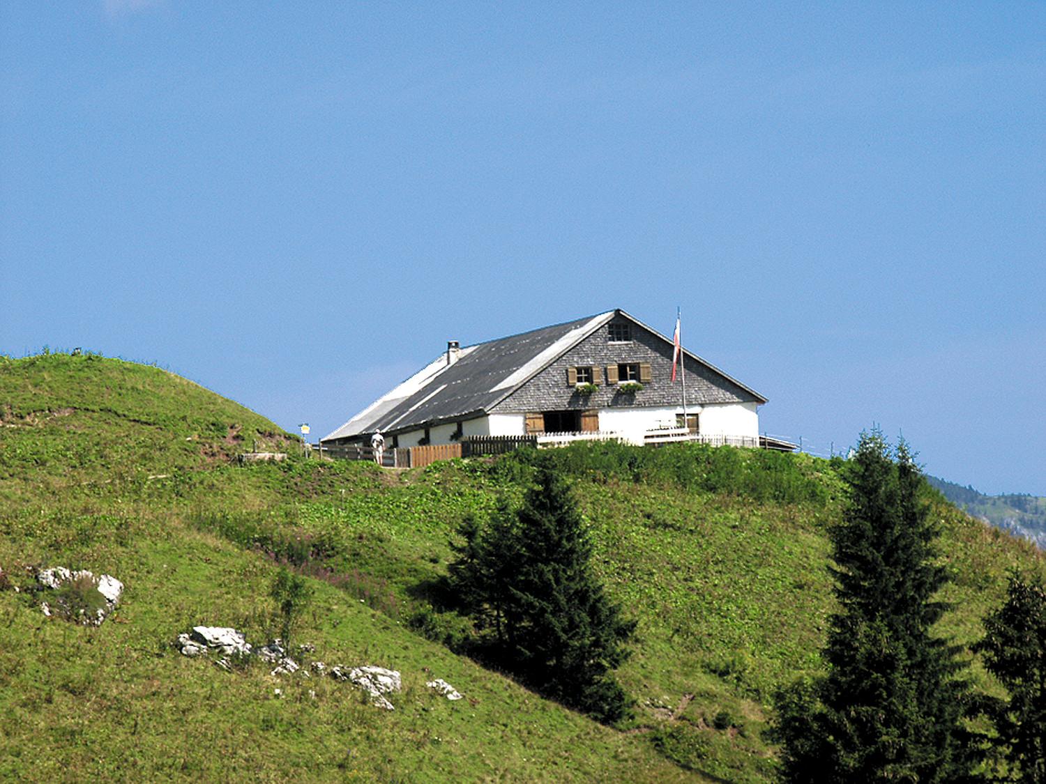
© Tannheimer Tal - Michael Keller
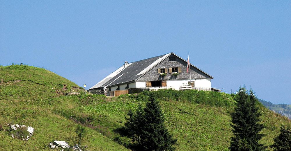
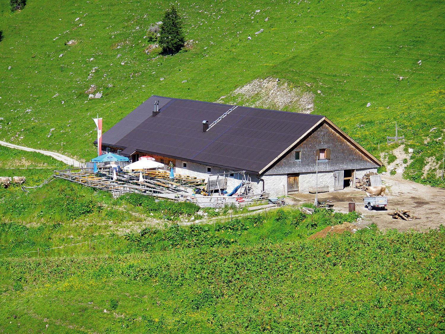
© Tannheimer Tal - Michael Keller
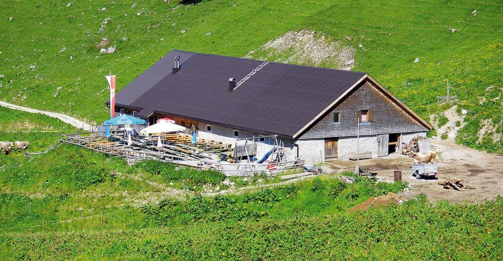
© Tannheimer Tal - Michael Keller

© Outdooractive Premium - Hartmut Wimmer
- Kort beskrivelse
-
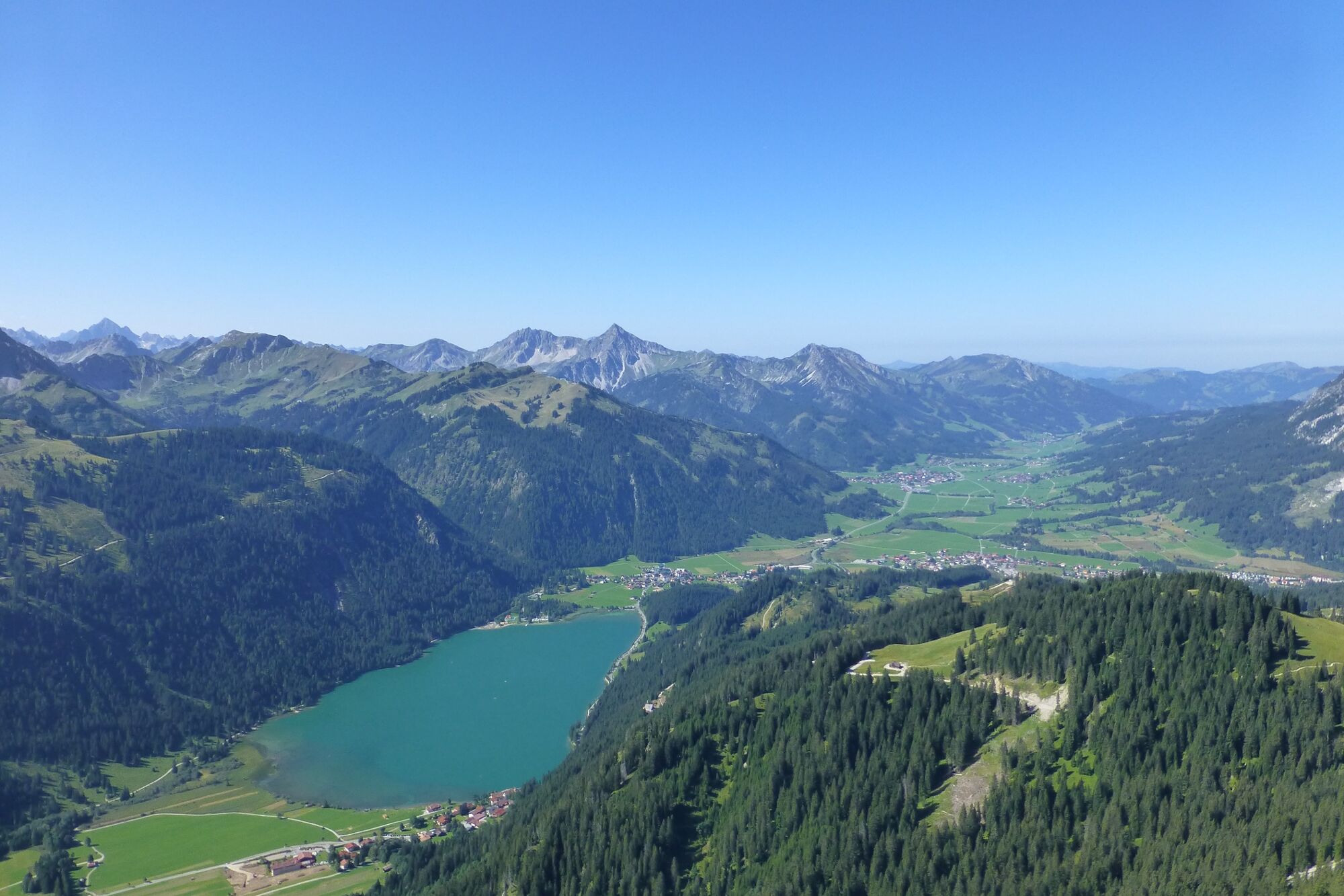
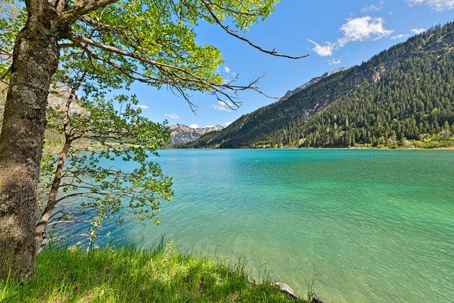
A hike with a magnificent panorama.
- Sværhedsgrad
-
medium
- Evaluering
-
- Rute
-
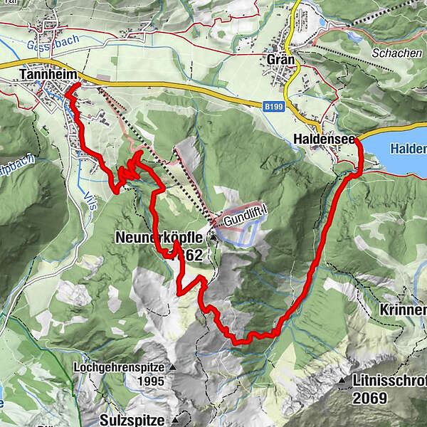
HaldenseeStrindental1,6 kmStrindenalpe3,6 kmUsseralpe5,4 kmUrfall9,2 kmSchmieden10,1 kmBogen10,3 kmTannheim (1.097 m)10,9 km
- Bedste sæson
-
janfebmaraprmajjunjulaugsepoktnovdec
- Højeste punkt
- 1.818 m
- Destination
-
Tannheim roundabout traffic
- Højdeprofil
-

- Forfatter
-
Rundvisningen Edenbachalpe - Obere Strindenalpe - Usseralpe bruges af outdooractive.com forudsat.
GPS Downloads


Generel information
Forfriskningsstop
Flora
Fauna
Flere ture i regionerne
-
Allgäu
2362
-
Tannheimer Tal
1459
-
Grän-Haldensee - Füssener Jöchle
571


