© Tannheimer Tal - Florian Müller

© Outdooractive Premium - Hartmut Wimmer

© AV-alpenvereinaktiv.com - Wolfgang Doll

© Outdooractive Premium - Hartmut Wimmer

© Outdooractive Premium - Hartmut Wimmer

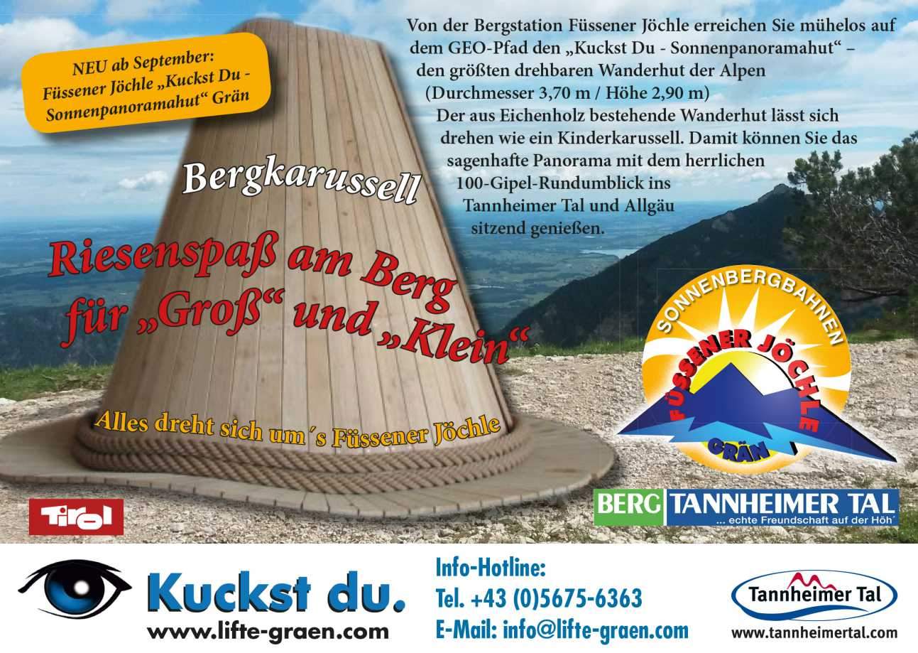
© Tannheimer Tal - Sonnenbergbahnen Grän

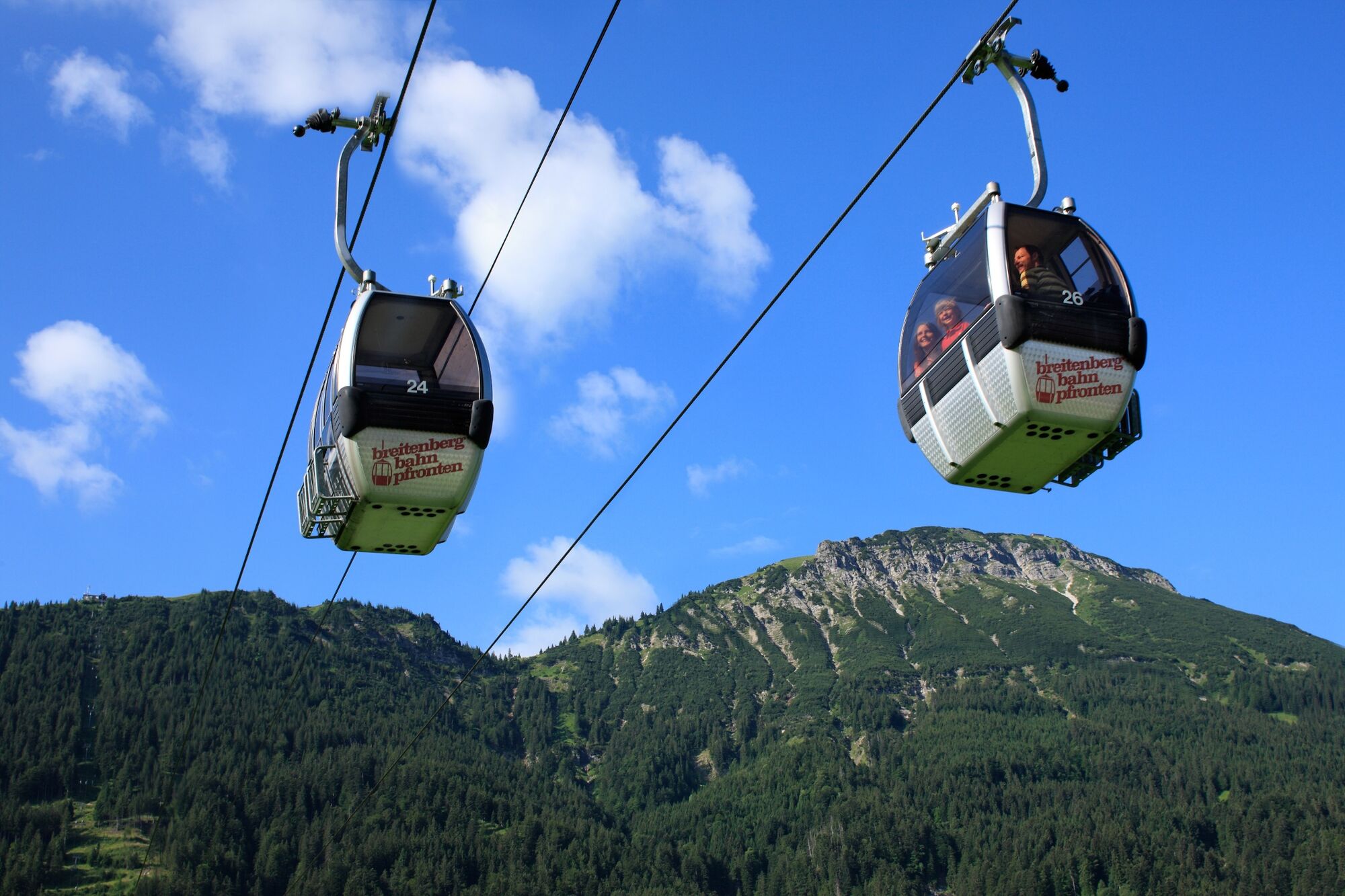
© Pfronten Tourismus - Erwin Reiter

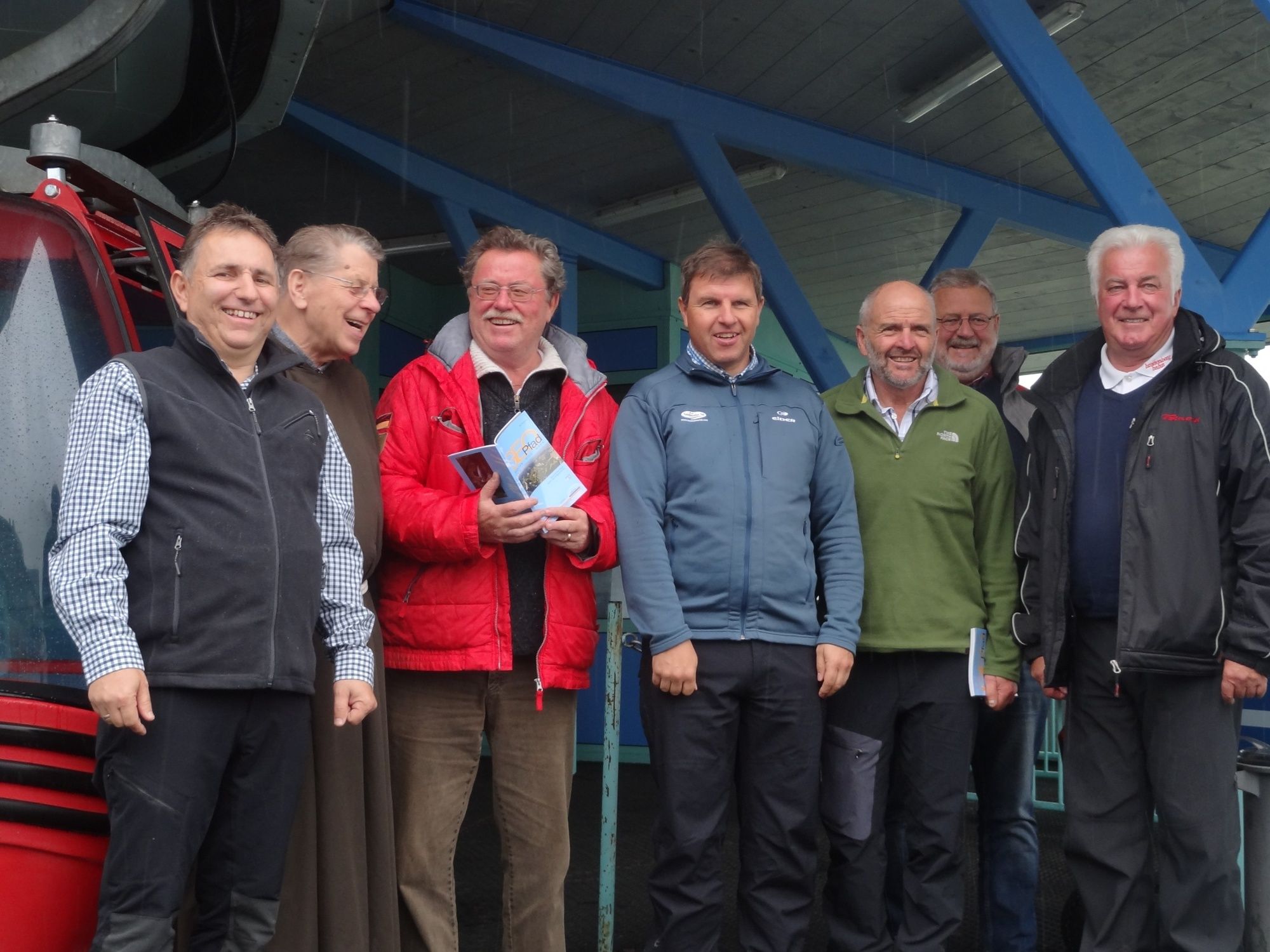
© Tannheimer Tal - Florian Müller
- Kort beskrivelse
-
A journey through the origins of the mountains
- Sværhedsgrad
-
medium
- Evaluering
-
- Rute
-
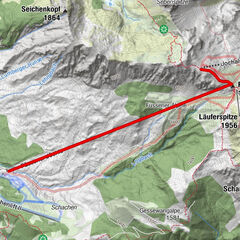
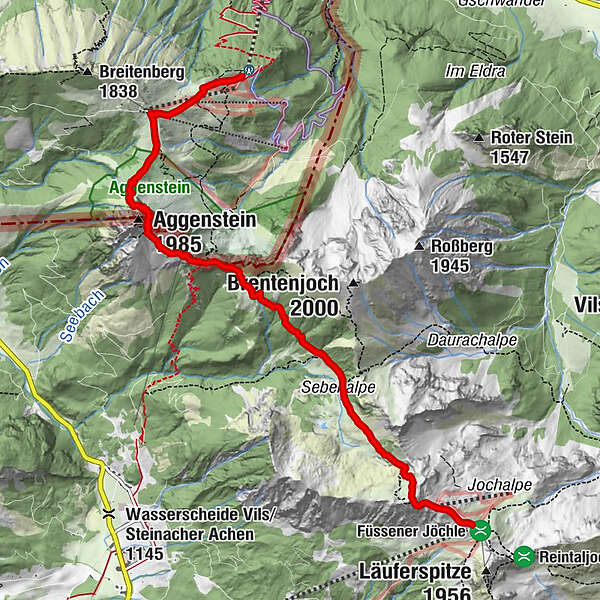
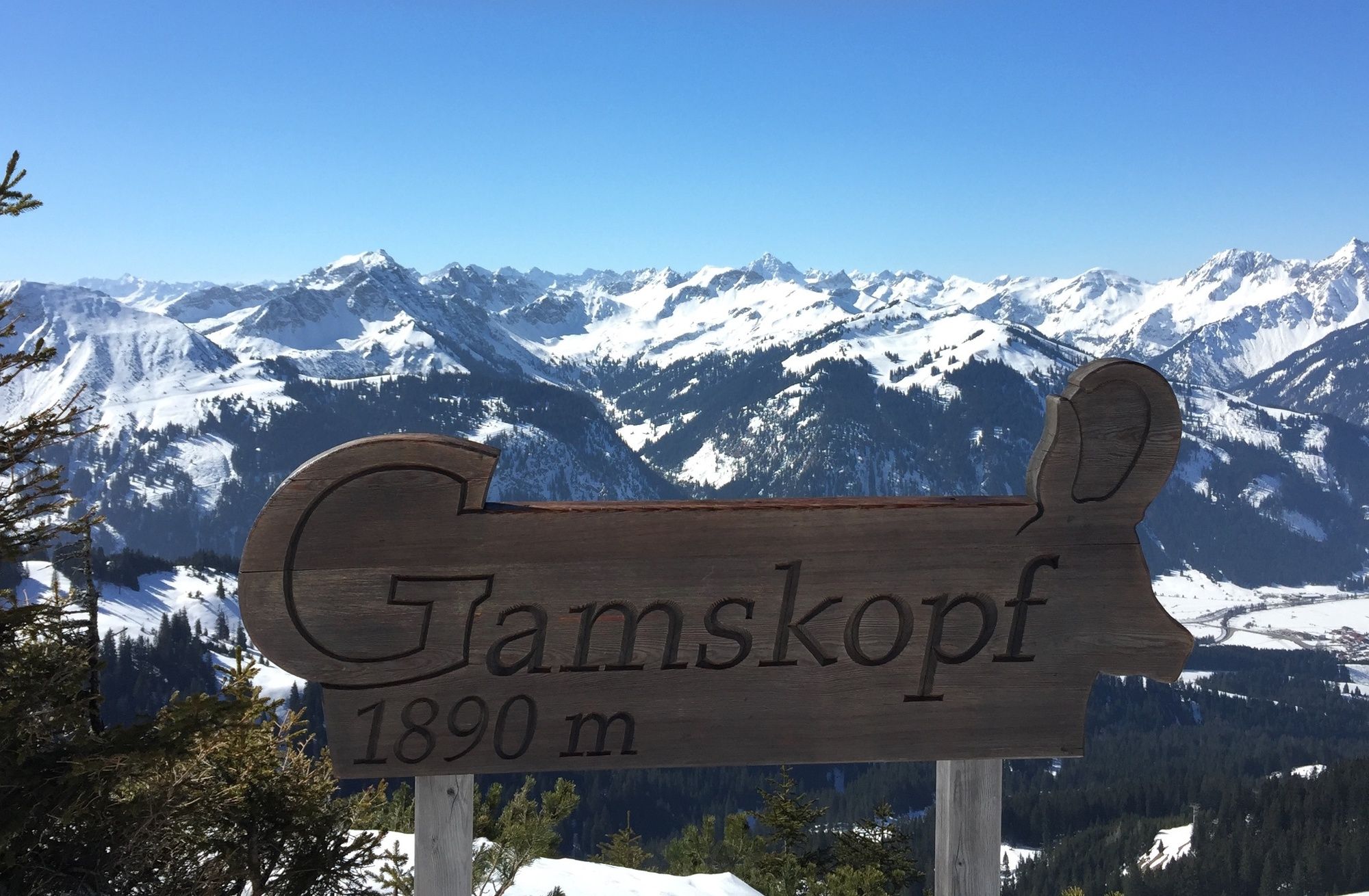
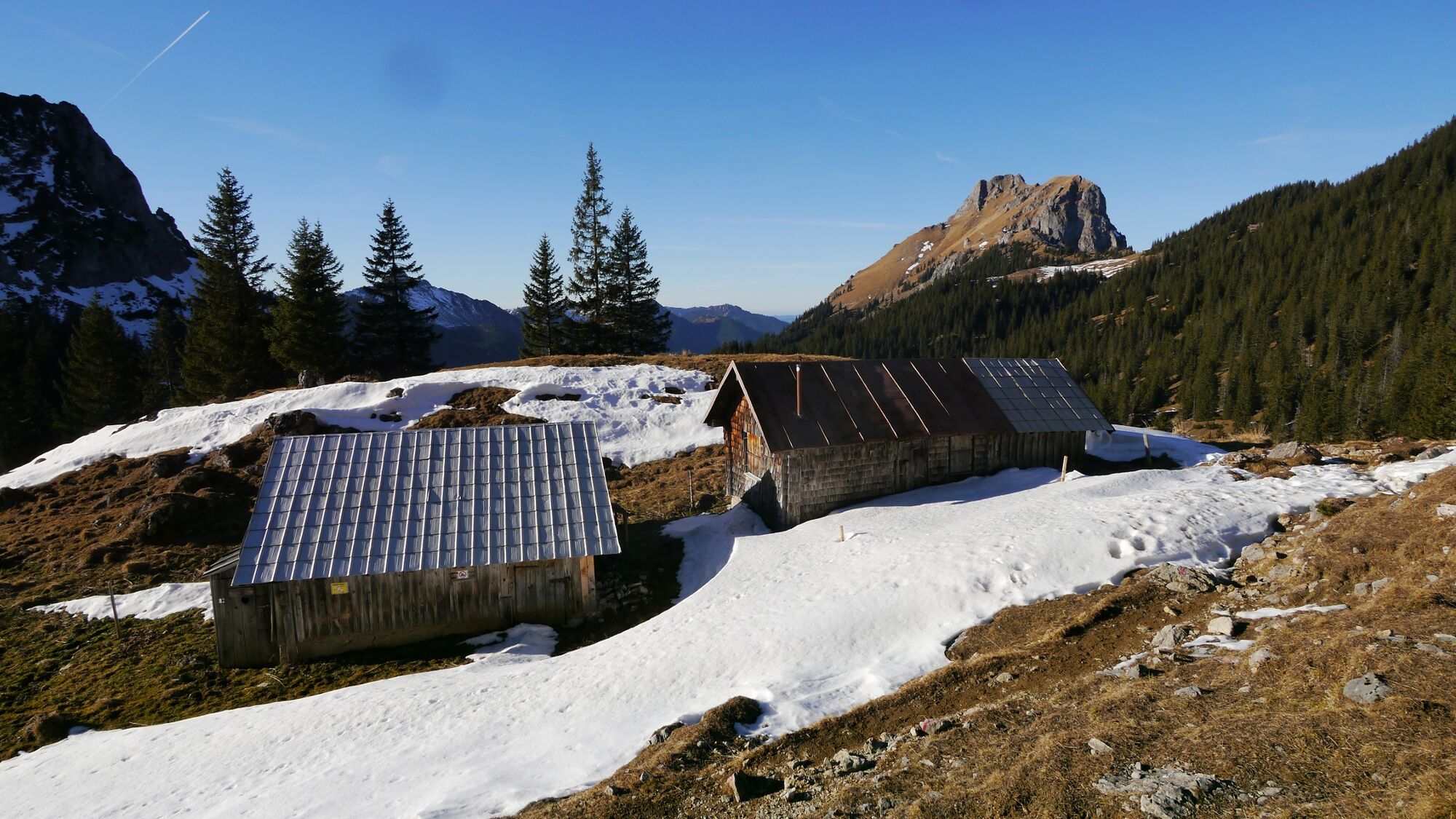
Gamskopf (1.890 m)0,2 kmJochalpe0,3 kmSebenalpe (1.640 m)1,8 kmBad Kissinger Hütte4,0 kmGeißstein4,1 kmAggenstein (1.985 m)4,6 kmBayern-Tirol Sattel4,6 kmHochalphütte6,8 km
- Bedste sæson
-
janfebmaraprmajjunjulaugsepoktnovdec
- Højeste punkt
- 1.927 m
- Destination
-
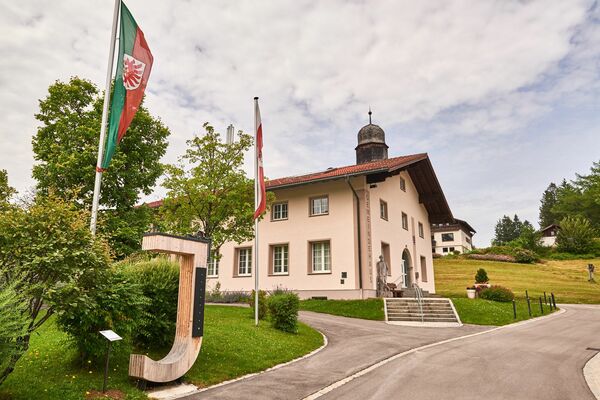
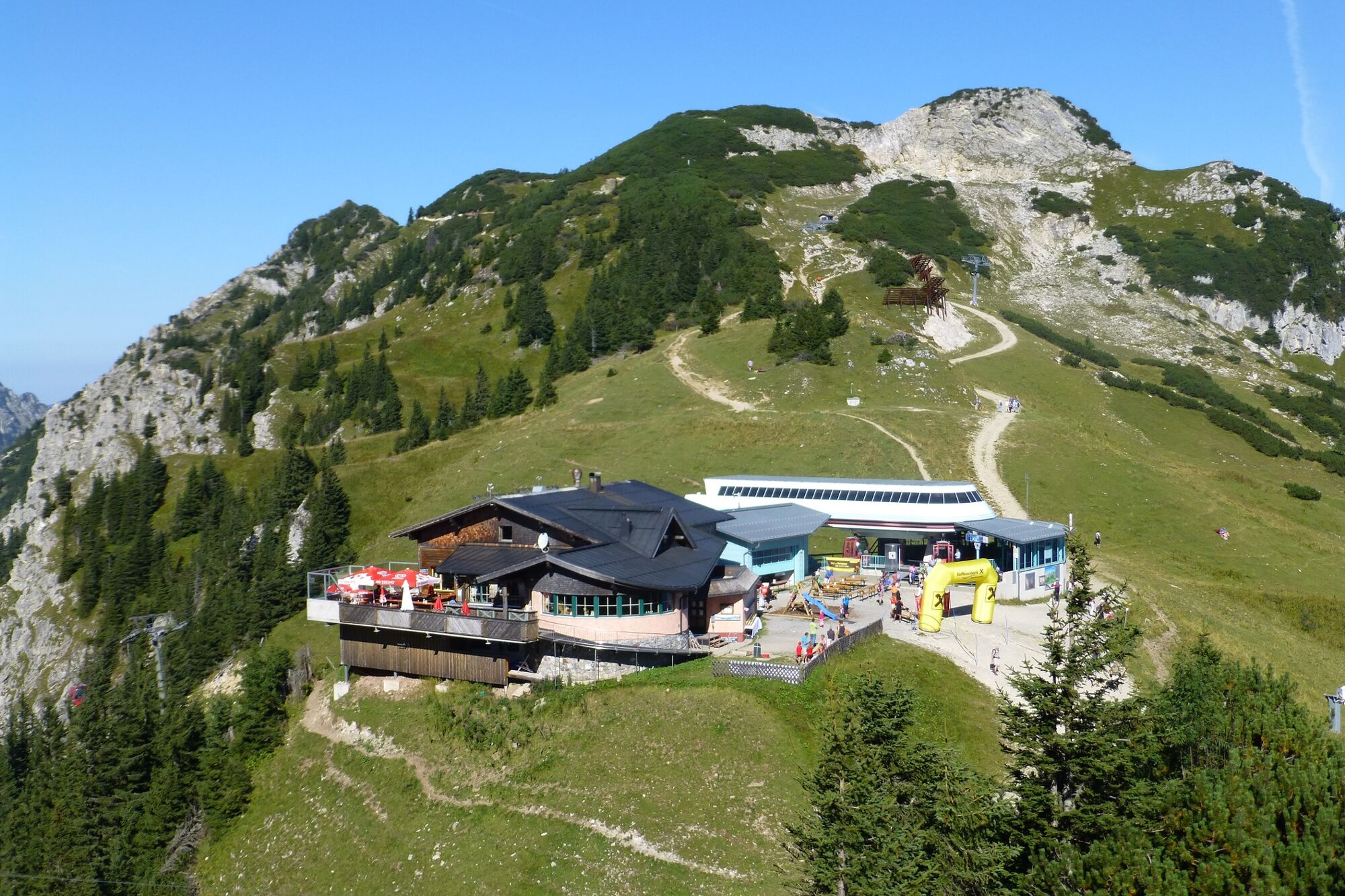
Sonnenbergbahn in Grän
- Højdeprofil
-


-

-
ForfatterRundvisningen GeoPanoramaway Breitenberg - Füssner Jöchle bruges af outdooractive.com forudsat.
GPS Downloads


Generel information
Forfriskningsstop
Kulturel/Historisk
Flora
Fauna
Lovende
Flere ture i regionerne
-
Allgäu
2359
-
Tannheimer Tal
1458
-
Grän-Haldensee - Füssener Jöchle
570