© Tourismusverband Region Hall-Wattens - Hall Wattens
- Kort beskrivelse
-
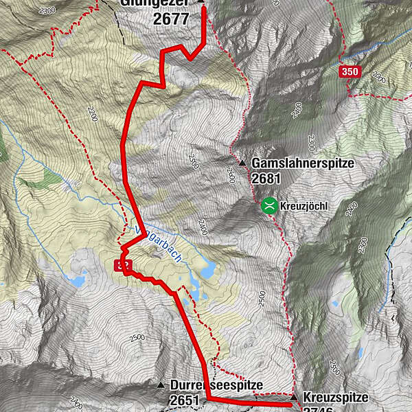
Hm ↑ 600; ↓ 600 Hm, Gz 4 Std.
- Sværhedsgrad
-
tung
- Evaluering
-
- Rute
-
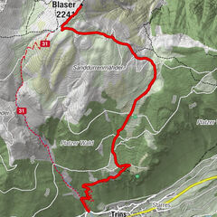
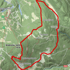
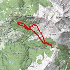
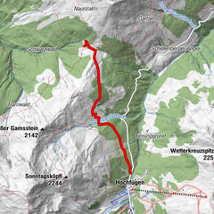
Kreuzspitze (2.746 m)3,8 km
- Bedste sæson
-
augsepoktnovdecjanfebmaraprmajjunjul
- Højeste punkt
- 2.693 m
- Destination
-
Kreuzspitze
- Højdeprofil
-

-

-
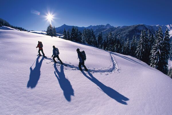
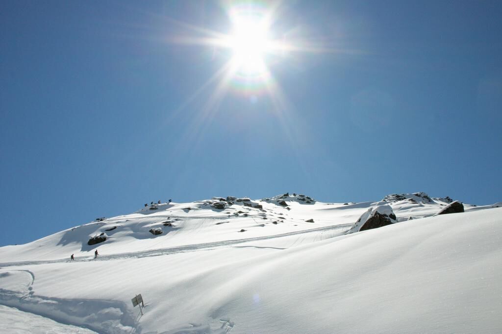
ForfatterRundvisningen With snowshoes from the Glungezer to the Kreuzspitze bruges af outdooractive.com forudsat.
GPS Downloads


Generel information
Insider-tip
Lovende
Flere ture i regionerne