- Kort beskrivelse
-
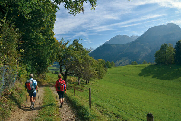
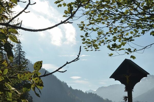
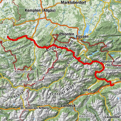
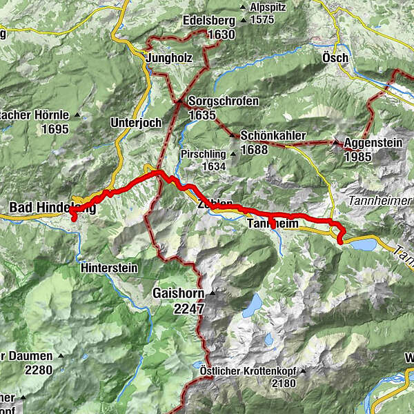
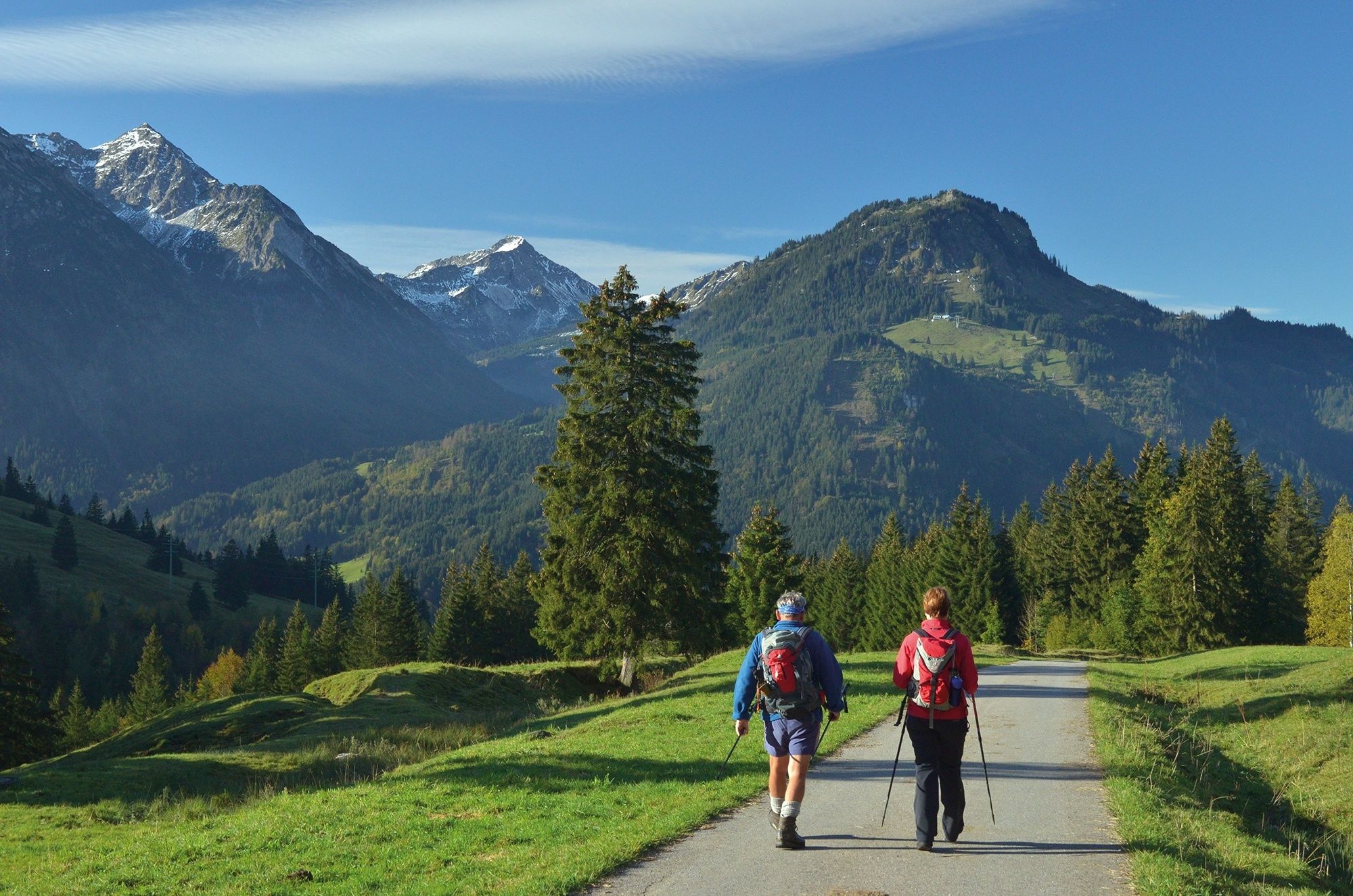
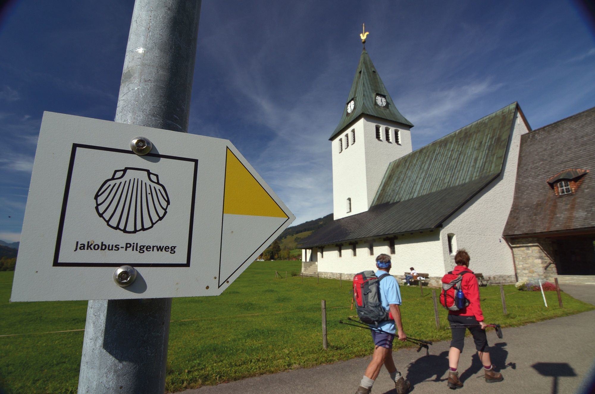
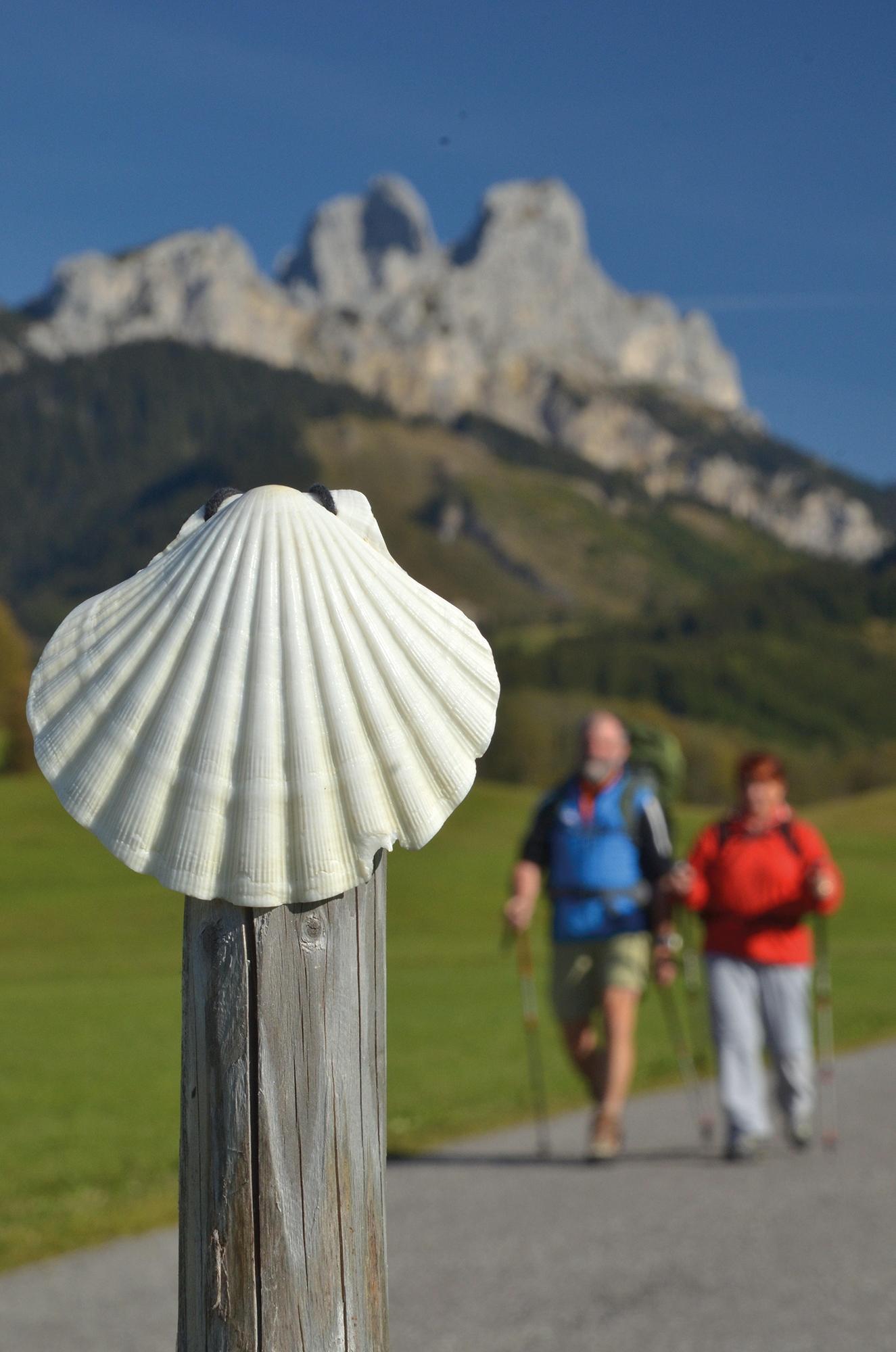
The wide Tannheimer Tal between steep rock teeth and mountain ridges forms the Tyrolean final stage. At Oberjoch the German part begins with a spectacular descent to Bad Hindelang, one of the most attractive spa and holiday communities in the Allgäu.
- Sværhedsgrad
-
medium
- Evaluering
-
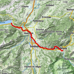
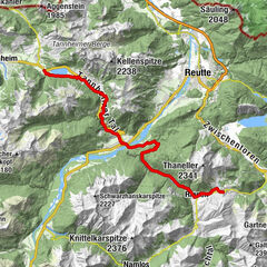
- Rute
-
St. Jakobus0,0 kmHaldensee0,0 kmGrän (1.138 m)1,4 kmSt. Wendelin1,6 kmInnergschwend3,5 kmSt. Martin3,5 kmBerg4,2 kmSt. Sebastian4,3 kmTannheim (1.097 m)5,5 kmSt. Leonhard6,7 kmUntergschwend7,2 kmZöblen (1.087 m)9,2 kmFricken10,1 kmSchattwald (1.072 m)10,4 kmPfarrkirche St. Wolfgang10,5 kmWies10,7 kmSteig11,8 kmKaminstube14,6 kmSpielplatz Oberjoch16,0 kmOberjoch16,1 kmBad Hindelang (825 m)19,2 kmBad Oberdorf19,7 kmSt. Jodokus19,7 km
- Bedste sæson
-
janfebmaraprmajjunjulaugsepoktnovdec
- Højeste punkt
- 1.199 m
- Destination
-
Bad Oberdorf
- Højdeprofil
-


- Forfatter
-
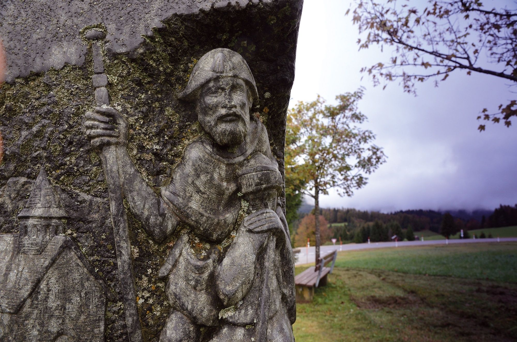
Rundvisningen St. James way Section 5 Haldensee - Bad Hindelang bruges af outdooractive.com forudsat.
GPS Downloads


Generel information
Forfriskningsstop
Kulturel/Historisk
Flora
Fauna
Lovende
Flere ture i regionerne
-
Allgäu
2360
-
Tannheimer Tal
1448
-
Schattwald - Zöblen
499