© Tannheimer Tal - Tourismusverband Tannheimer Tal
- Kort beskrivelse
-
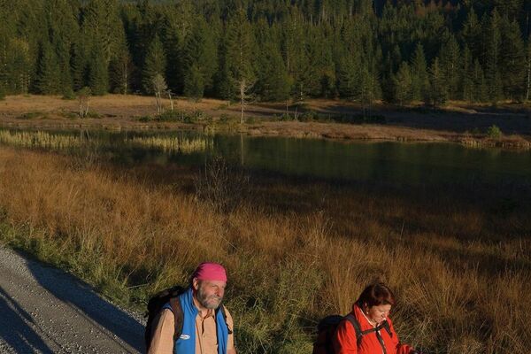
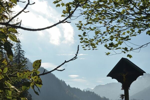
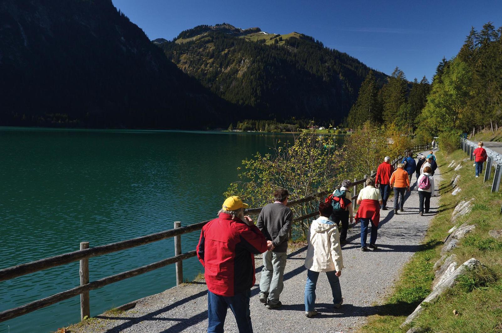
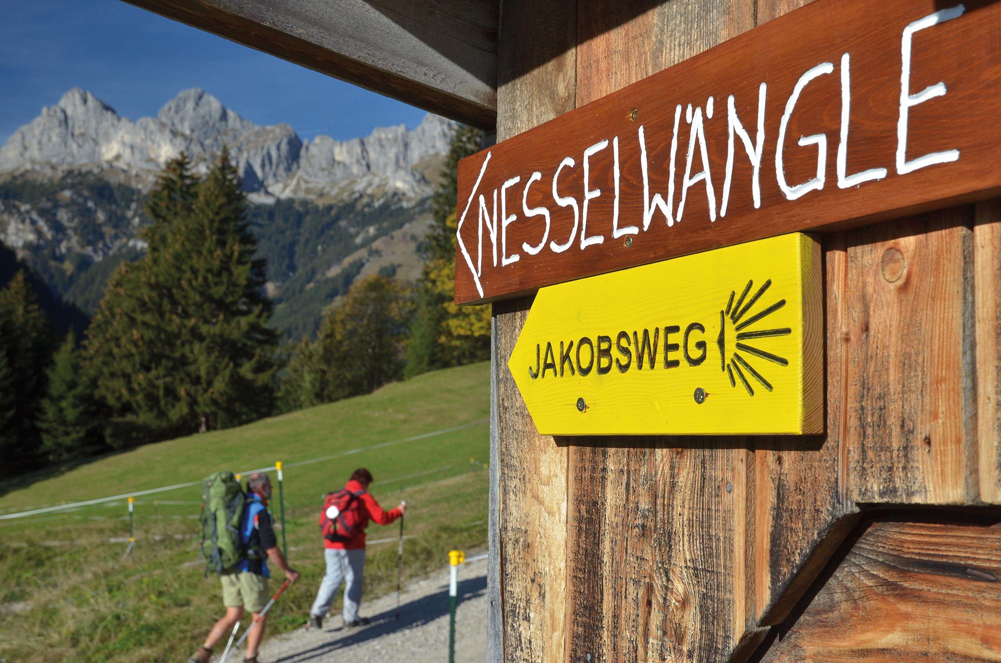
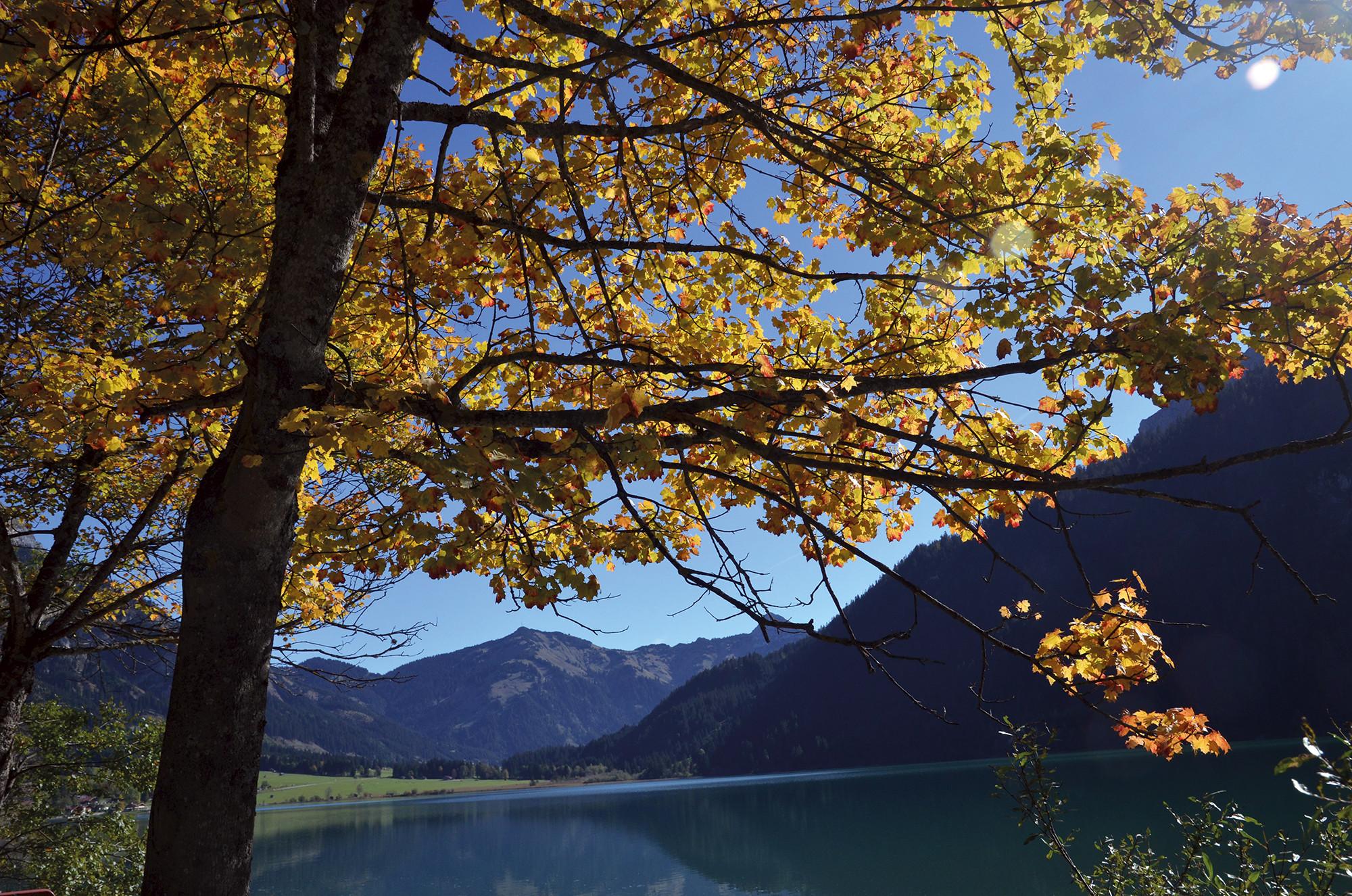
Scenically varied route through the quiet Rotlechtal valley down to Rieden and Weißenbach am Lech, then on the old Gaichtpassweg up to the sunny Tannheimer Tal.
- Sværhedsgrad
-
medium
- Evaluering
-
- Rute
-
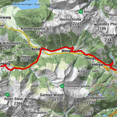
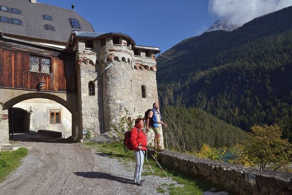
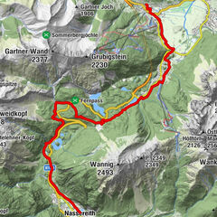
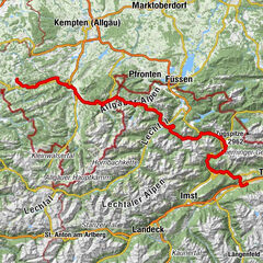
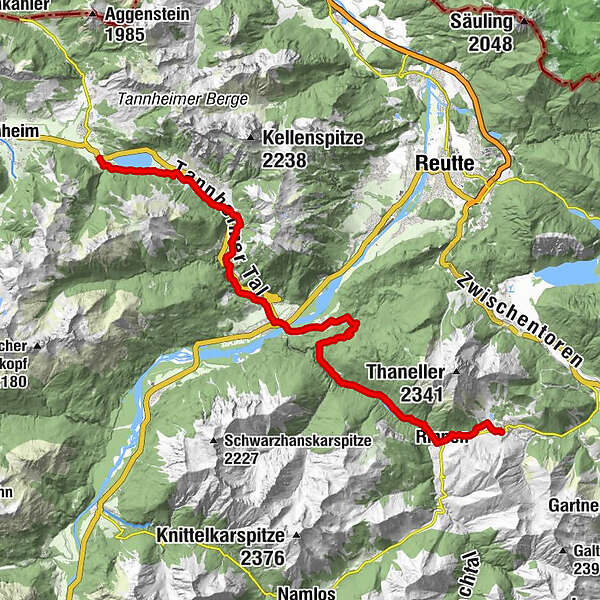
Berwang (1.342 m)Kaminstube Thanellerkar0,5 kmSankt-Sebastian Kapelle2,3 kmStadl Bräu2,3 kmRotlechwasserfall2,6 kmRinnen2,6 kmRieden11,4 kmKapelle zum hl. Georg11,5 kmGasthaus Kreuz11,5 kmWeißenbach am Lech (885 m)13,7 kmDorfkirche13,8 kmFriedhofskapelle14,0 kmUntergaicht15,4 kmGaichtkapelle15,5 kmWeidekapelle16,9 kmGasthof Gaichtspitze17,3 kmGaicht17,3 kmKapelle auf der Gaicht17,3 kmNesselwängle (1.136 m)20,6 kmKrinnenalpe21,2 kmSchmitte21,5 kmTauscher's Alm24,3 kmSt. Jakobus24,7 kmHaldensee24,9 km
- Bedste sæson
-
janfebmaraprmajjunjulaugsepoktnovdec
- Højeste punkt
- 1.349 m
- Destination
-
Haldensee
- Højdeprofil
-


- Forfatter
-
Rundvisningen St. James way Section 4 Berwang - Haldensee bruges af outdooractive.com forudsat.
GPS Downloads


Generel information
Forfriskningsstop
Kulturel/Historisk
Flora
Fauna
Lovende
Flere ture i regionerne
-
Allgäu
2360
-
Naturparkregion Reutte
1430
-
Weißenbach am Lech
438