

© Tourismusverband Region Hall-Wattens - Hall Wattens

© Tourismusverband Region Hall-Wattens - Hall Wattens

© Tourismusverband Region Hall-Wattens - Hall Wattens
- Kort beskrivelse
-
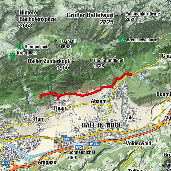
A connecting route on the popular Adolf Pichler-Weg route to the starting point in Thaur
- Sværhedsgrad
-
medium
- Evaluering
-
- Rute
-
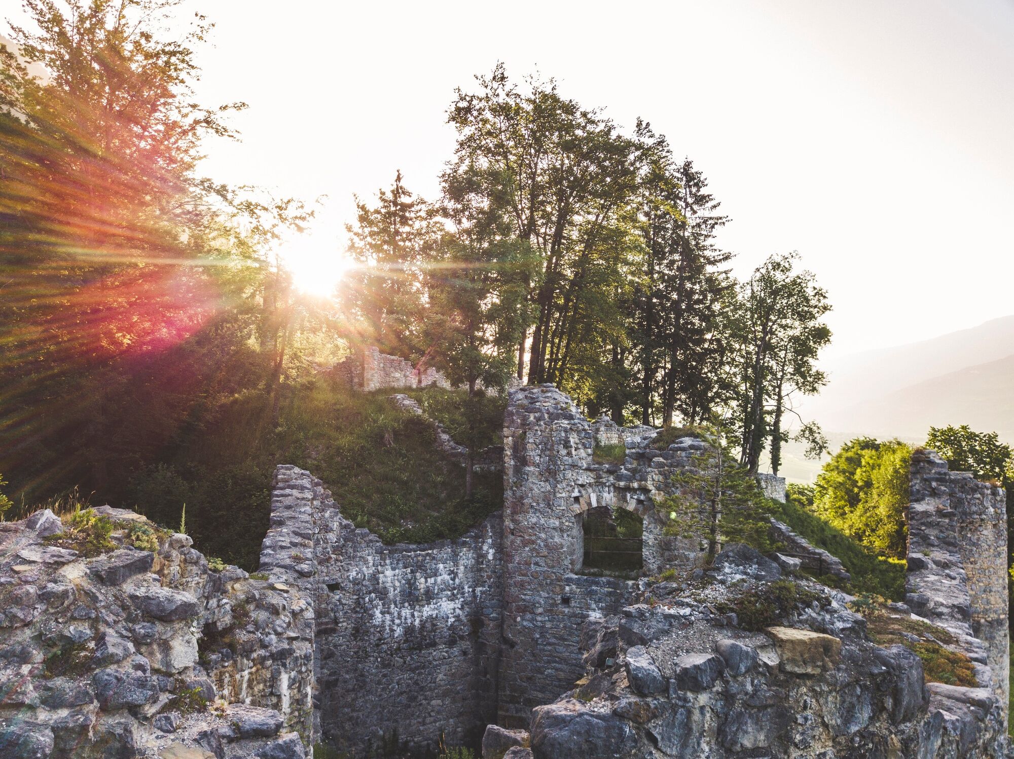
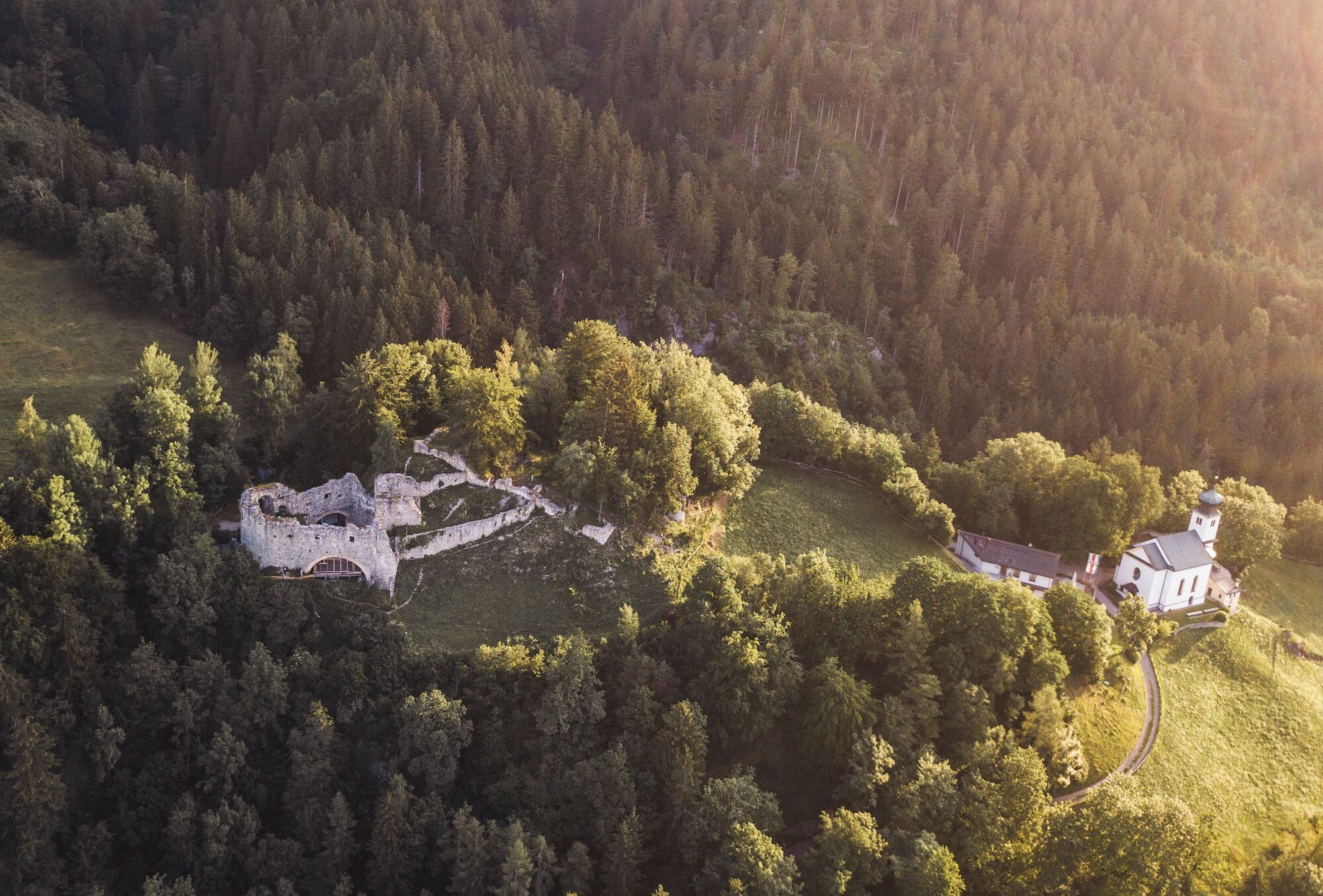
Walderkapelle0,4 kmStollenquelle5,8 km105,9 kmSchlosskirche St. Romedius6,4 kmRomediwirt6,4 km
- Bedste sæson
-
janfebmaraprmajjunjulaugsepoktnovdec
- Højeste punkt
- 854 m
- Destination
-
Thaur, Adolf Pichler Weg
- Højdeprofil
-

- Forfatter
-
Rundvisningen Connection route Bogner Aste - Thaur bruges af outdooractive.com forudsat.
GPS Downloads


Generel information
Lovende
Flere ture i regionerne