
© Tourismusverband Region Hall-Wattens - Anne W.

© Tourismusverband Region Hall-Wattens - Anne W.
- Kort beskrivelse
-
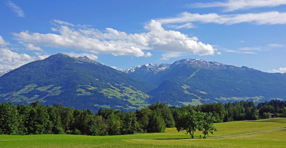
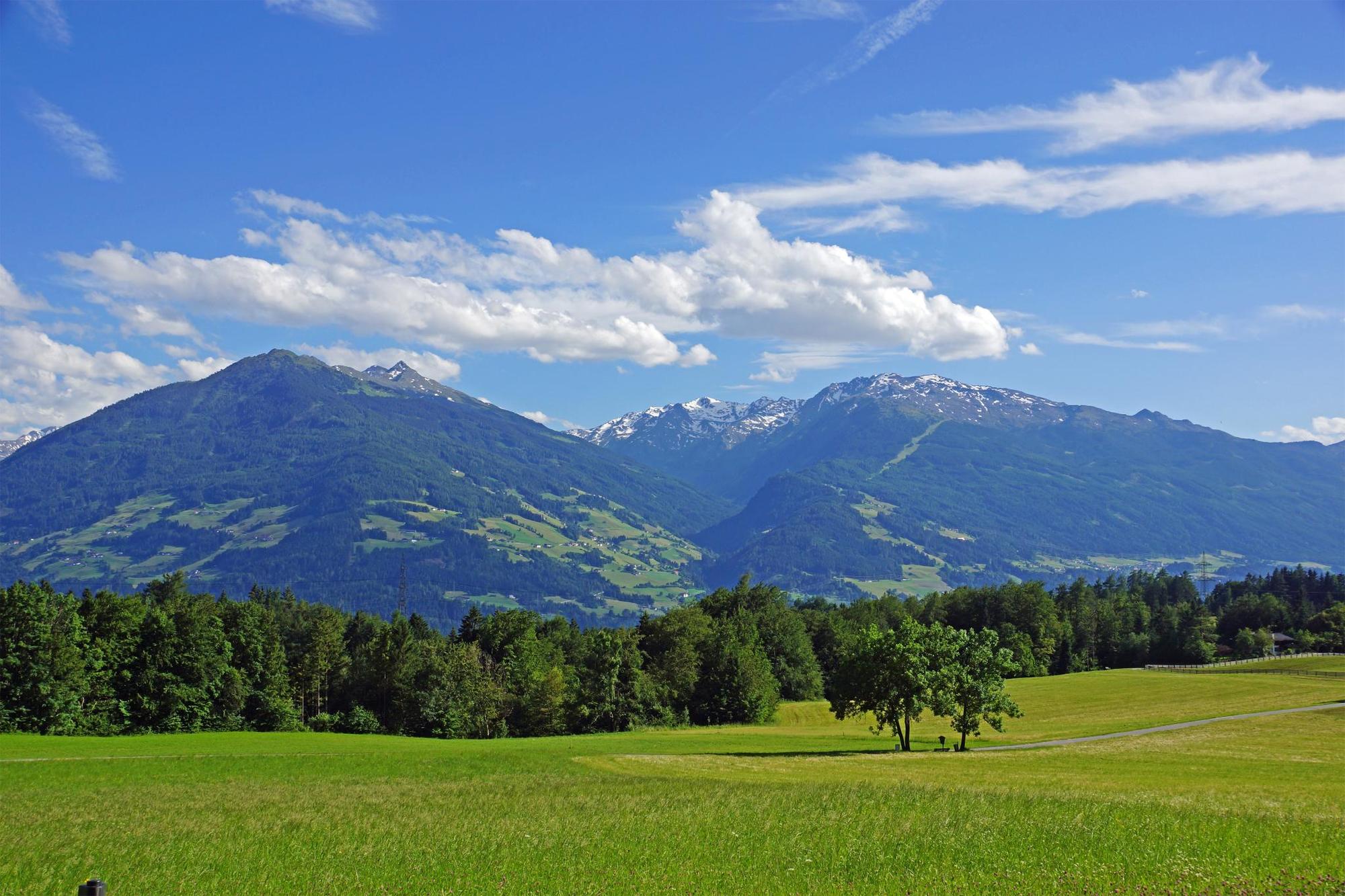
A route through the beautiful mixed forest, mostly even with slight gradients. The route is only interrupted by two strength-sapping climbs. These present challenges to the stamina
- Sværhedsgrad
-
let
- Evaluering
-
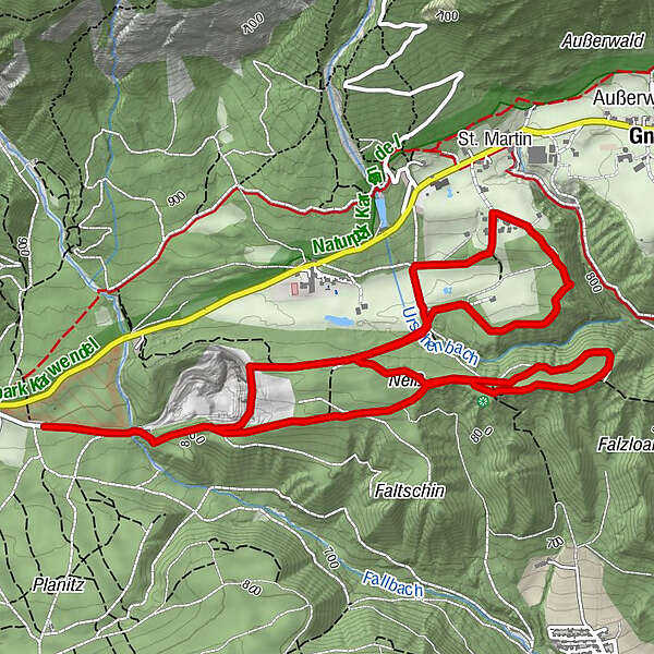
- Rute
-
Neiß3,2 km
- Bedste sæson
-
janfebmaraprmajjunjulaugsepoktnovdec
- Højeste punkt
- 878 m
- Destination
-
Mils, Bogner Aste
- Højdeprofil
-

- Forfatter
-
Rundvisningen Gnadenwald circuit bruges af outdooractive.com forudsat.
GPS Downloads


Generel information
Lovende
Flere ture i regionerne