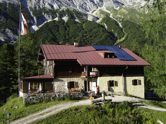
© Tourismusverband Region Hall-Wattens - Hall Wattens

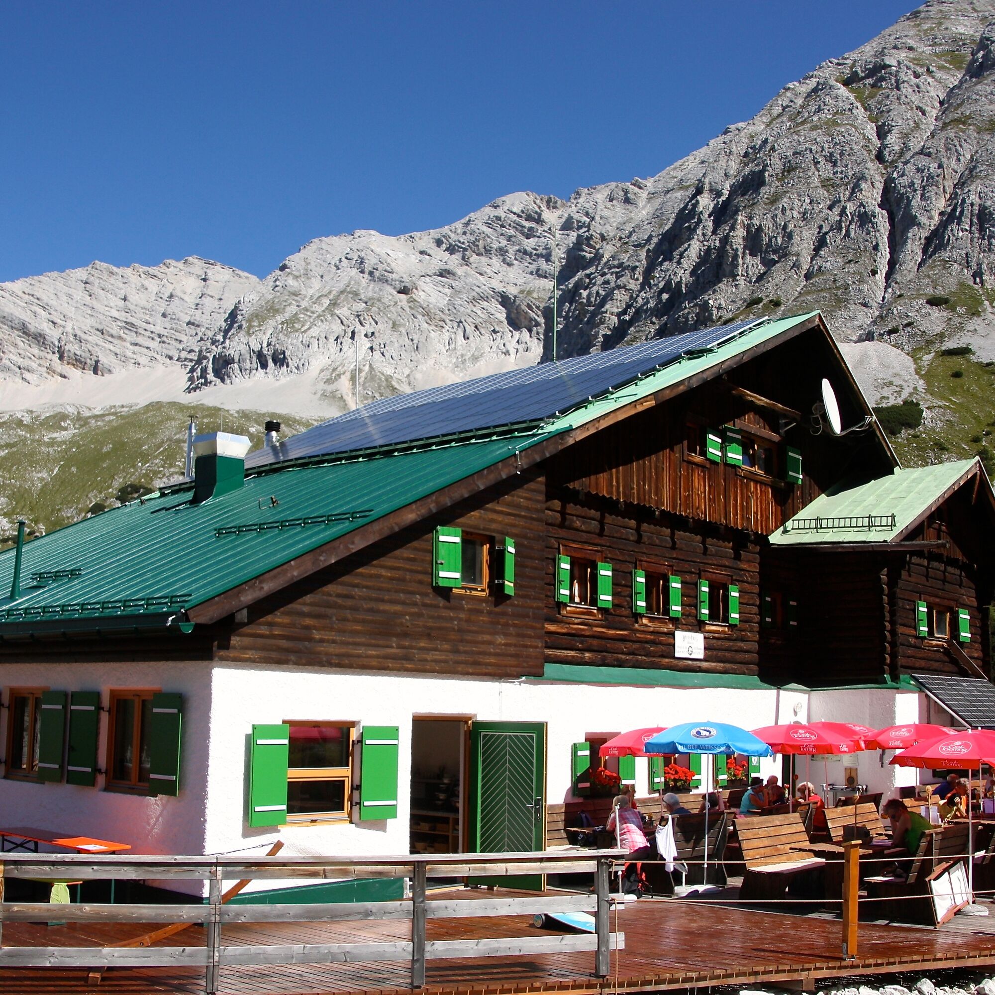
© DAV Sektion Schwaben - Klaus Berghold

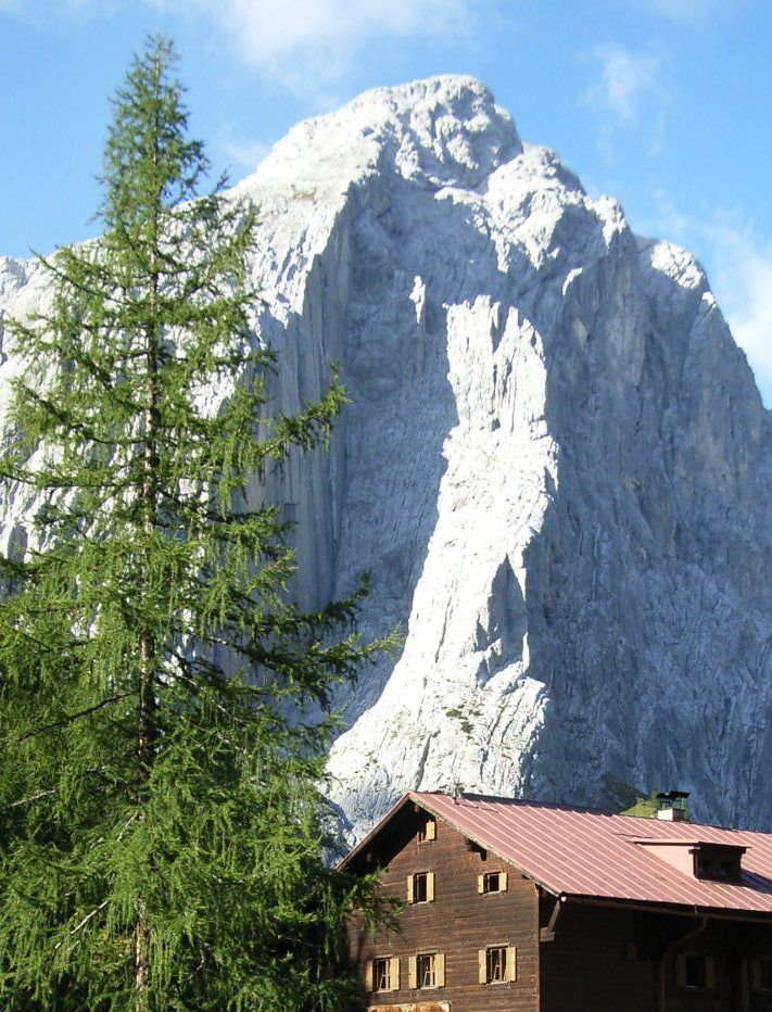
© Michael Kirchmayer
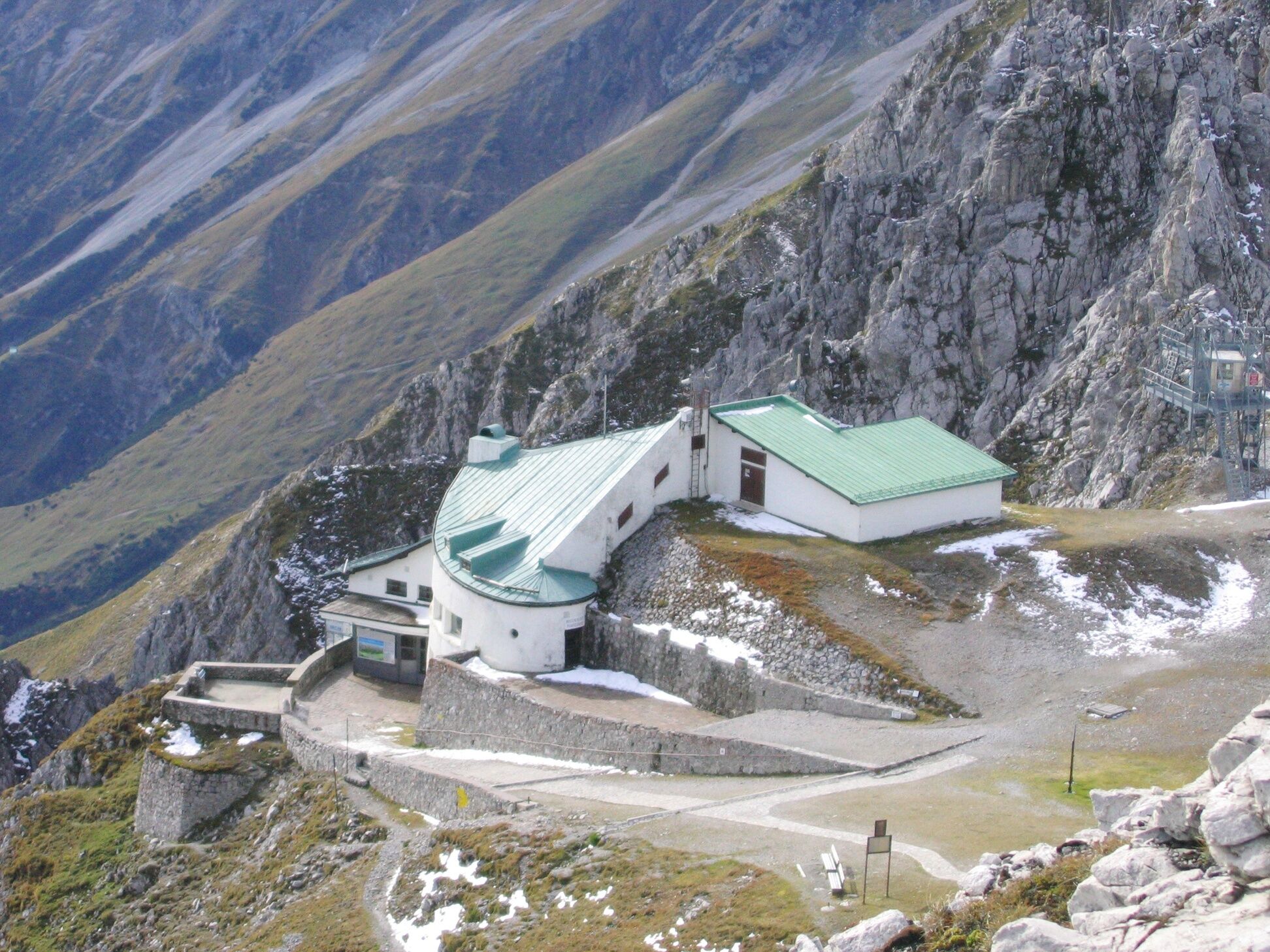
© DAV Sektion Schwaben - Klaus Berghold

© Outdooractive Redaktion - Luigino
© Michael Kirchmayer
- Kort beskrivelse
-
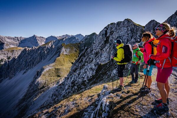
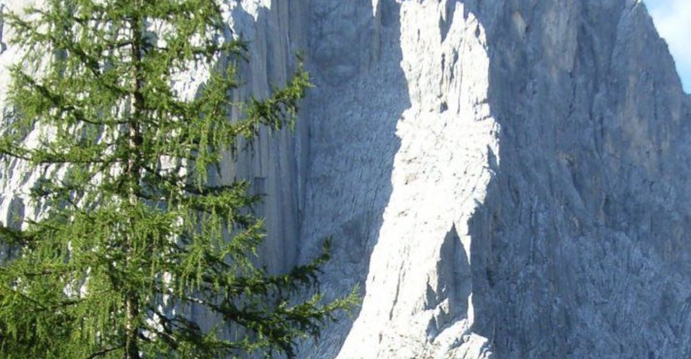
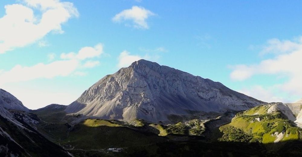
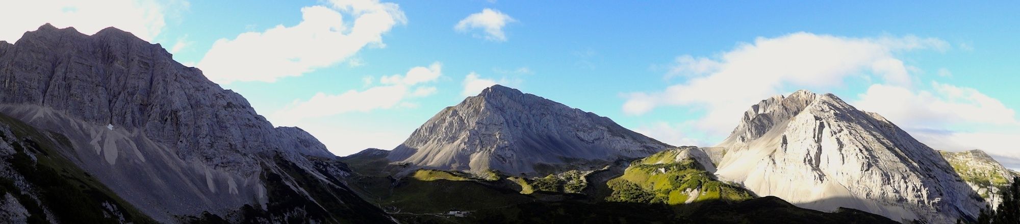
Walkers making this tour need a good head for heights and surefootedness. The route between the Hallerangerhaus and the Hafelekar is characterised by a constant up and down with moderate altitude differences.
- Sværhedsgrad
-
tung
- Evaluering
-
- Rute
-
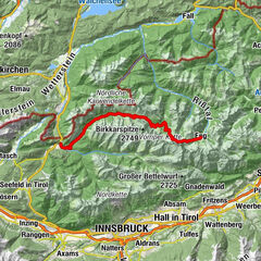
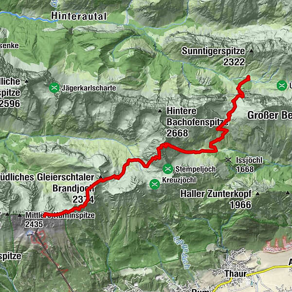
Hauskapelle0,0 kmHallerangerhaus0,3 kmDurchschlag1,1 kmKohlstatt (1.978 m)3,0 kmHalltaler Pfeis5,5 kmNotraum8,9 kmPfeishütte9,0 kmHafelekarspitze (2.334 m)13,4 kmKarstube13,7 km
- Bedste sæson
-
janfebmaraprmajjunjulaugsepoktnovdec
- Højeste punkt
- 2.491 m
- Destination
-
Hafelekar Innsbruck
- Højdeprofil
-

-

-
ForfatterRundvisningen The Eagles´ Trail – From mountain solitude into the town (12) bruges af outdooractive.com forudsat.
GPS Downloads


Generel information
Forfriskningsstop
Lovende
Flere ture i regionerne