© Thüringer Wald - Peter Möller

© Thüringer Wald - Peter Möller

© Thüringer Wald - Peter Möller

© Thüringer Wald - Peter Möller

© Tourismusverbund Rennsteig-Saaleland e.V. - unbekannt

© Saaleradweg e.V.
- Kort beskrivelse
-
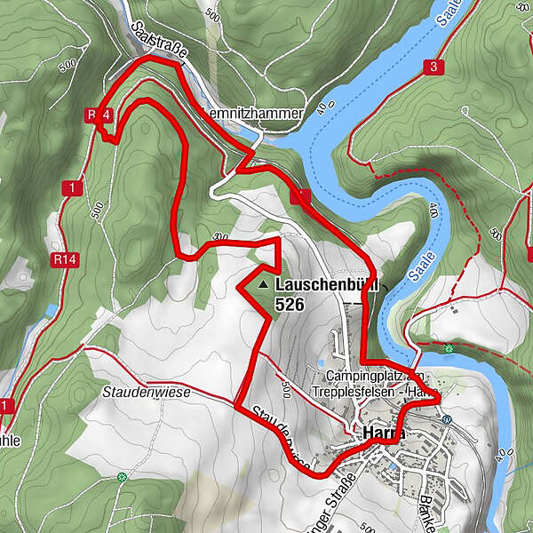
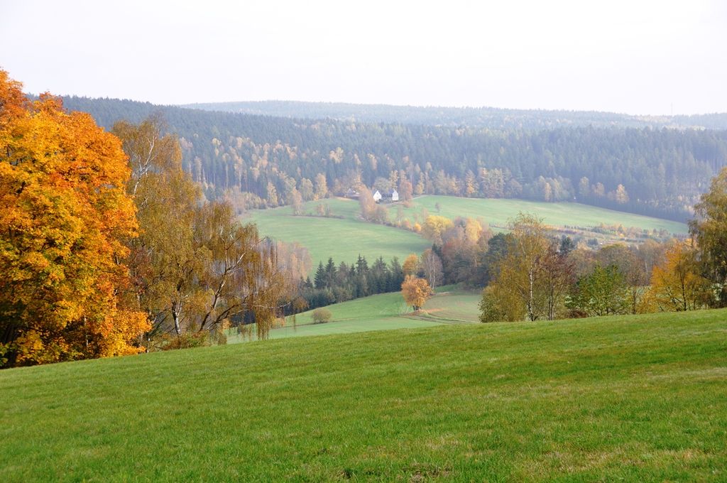
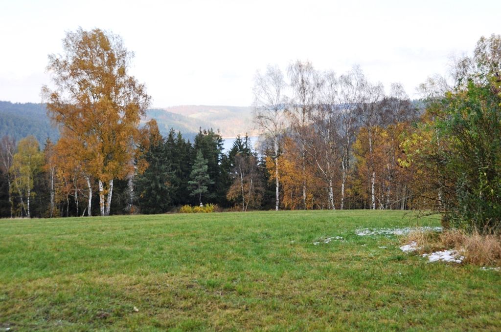
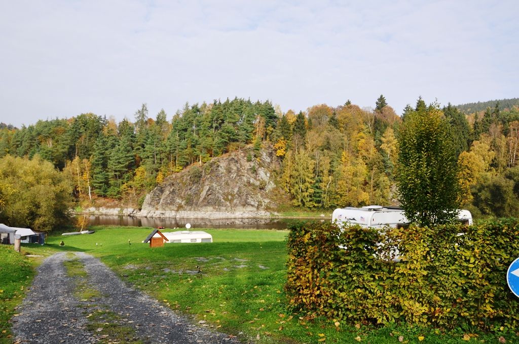
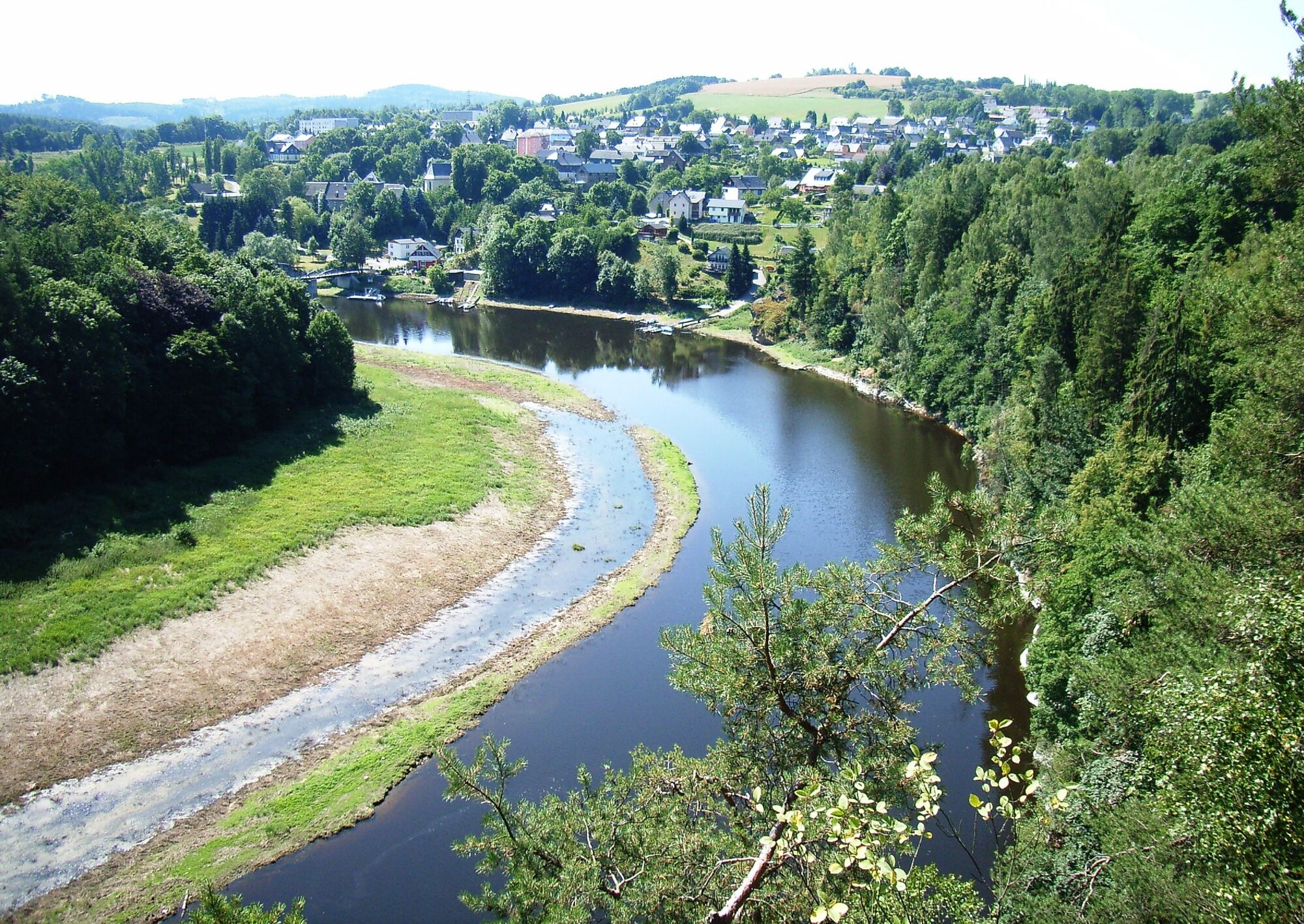
The Lauschebühlweg leads us into the history of the Saale valley and into the life of the Harra inhabitants during the Thirty Years' War. Exciting stories combine with the impressive landscape.
- Sværhedsgrad
-
let
- Evaluering
-
- Rute
-
Schiffsanleger Harra, PersonenschifffahrtFahrgastschiffahrt (Linie Saalburg-Harra)St. Nikolaus0,3 kmHarra0,6 kmLauschenbühl (526 m)2,0 kmLemnitzhammer5,1 kmHarra Nord5,4 kmFahrgastschiffahrt (Linie Saalburg-Harra)6,7 kmSchiffsanleger Harra, Personenschifffahrt6,7 kmHarra6,7 km
- Bedste sæson
-
janfebmaraprmajjunjulaugsepoktnovdec
- Højeste punkt
- 528 m
- Destination
-
Harra rest island
- Højdeprofil
-
 © outdooractive.com

- Forfatter
-
Rundvisningen Lauschebühlweg bruges af outdooractive.com forudsat.
GPS Downloads


Generel information
Kulturel/Historisk
Lovende
Flere ture i regionerne
-
Vogtland / Thüringen
666
-
Frankenwald
247
-
Blankenstein
89