© By CTHOE (Own work) [CC BY-SA 3.0 (http://creativecommons.org/licenses/by-sa/3.0)], via Wikimedia Commons - CTHOE

- Kort beskrivelse
-
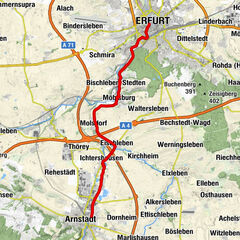
From the orchards of Thuringia along the Luther Trail back to the federal capital.
- Sværhedsgrad
-
medium
- Evaluering
-
- Rute
-
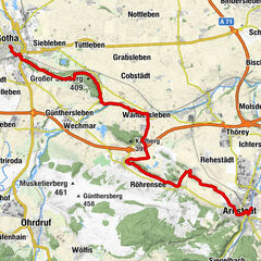
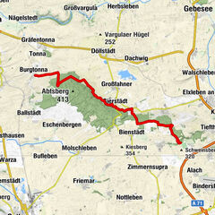
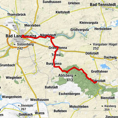
Gierstädt0,2 kmKleinfahner2,1 kmSankt Veit2,4 kmTiefthal12,7 kmSchwellenburg (227 m)14,2 kmKühnhausen15,6 kmKiliani18,4 kmGispersleben18,5 kmRieth21,3 kmSpielplatz am Fuchsgrund22,1 kmAltstadt24,3 kmErfurt (194 m)24,3 km
- Bedste sæson
-
janfebmaraprmajjunjulaugsepoktnovdec
- Højeste punkt
- 379 m
- Destination
-
Michaelisstraße Erfurt
- Højdeprofil
-
 © outdooractive.com

-

-
ForfatterRundvisningen Luther Trail: Section 43 – From Gierstädt to Erfurt bruges af outdooractive.com forudsat.
GPS Downloads


Generel information
Forfriskningsstop
Kulturel/Historisk
Lovende
Flere ture i regionerne