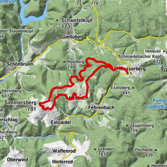
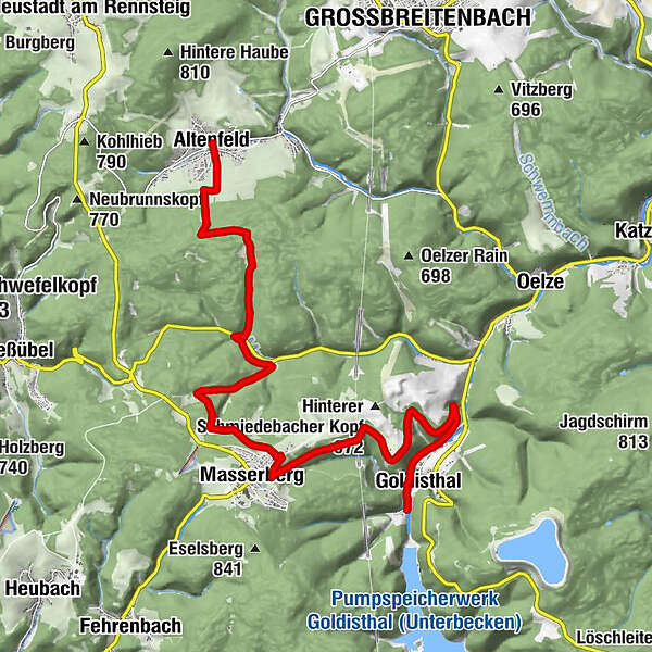
Panorama Trail Schwarzatal - 5th stage Goldisthal to Altenfeld - Thuringian Forest


© Thüringer Wald - Elisabeth Otto

© Thüringer Wald - Dr. Erich Krauss

© Thüringer Wald - Dr. Erich Krauss

© Thüringer Wald - Elisabeth Otto

© Thüringer Wald - David Lehmann
- Kort beskrivelse
-
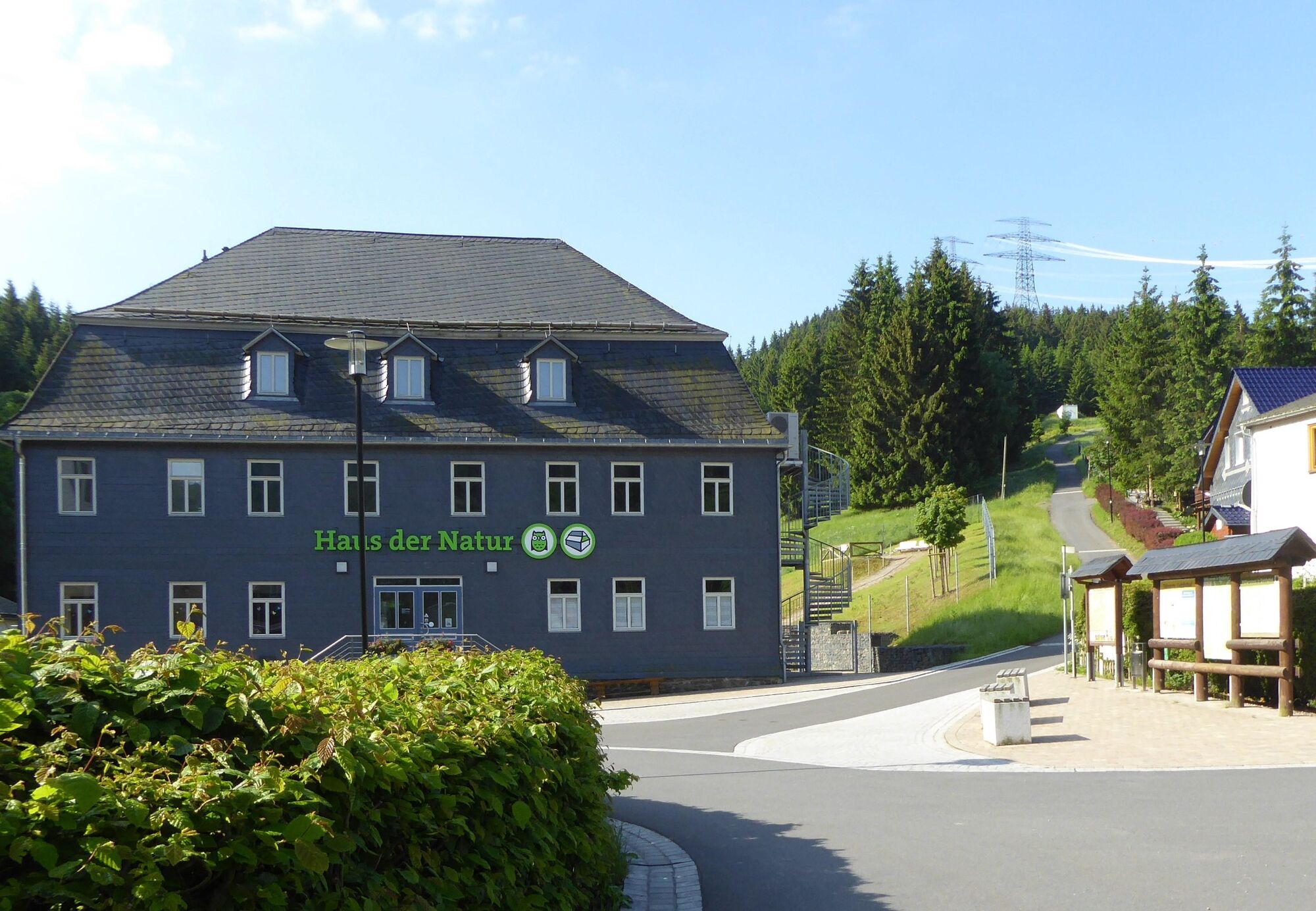
Back to the hills through the deep forest to Mühlen and Albert-Schweitzer
- Sværhedsgrad
-
tung
- Evaluering
-
- Rute
-
Goldisthal (512 m)0,4 kmMasserberg6,0 kmAlbert Schweitzer Hütte12,9 kmZum kühlen Grunde14,1 kmAltenfeld14,4 km
- Bedste sæson
-
janfebmaraprmajjunjulaugsepoktnovdec
- Højeste punkt
- 745 m
- Destination
-
Altenfeld - Market
- Højdeprofil
-
 © outdooractive.com
- Forfatter
-
Rundvisningen Panorama Trail Schwarzatal - 5th stage Goldisthal to Altenfeld - Thuringian Forest bruges af outdooractive.com forudsat.
GPS Downloads


Generel information
Forfriskningsstop
Lovende
Flere ture i regionerne
-
Thüringer Wald
999
-
Coburg Rennsteig / Thüringen
500
-
Masserberg
198