© Lugano Region - All rights reserved – Davide Adamoli

© Lugano Region - All rights reserved – Davide Adamoli

© Lugano Region - All rights reserved – Davide Adamoli

© Lugano Region - All rights reserved – Davide Adamoli

© Lugano Region - All rights reserved – Davide Adamoli

© Lugano Region - All rights reserved – Davide Adamoli

© Lugano Region - All rights reserved – Davide Adamoli

© Lugano Region - All rights reserved – Davide Adamoli

© Lugano Region - All rights reserved – Davide Adamoli

© Lugano Region - All rights reserved – Davide Adamoli

- Kort beskrivelse
-
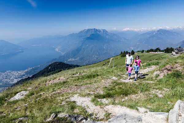
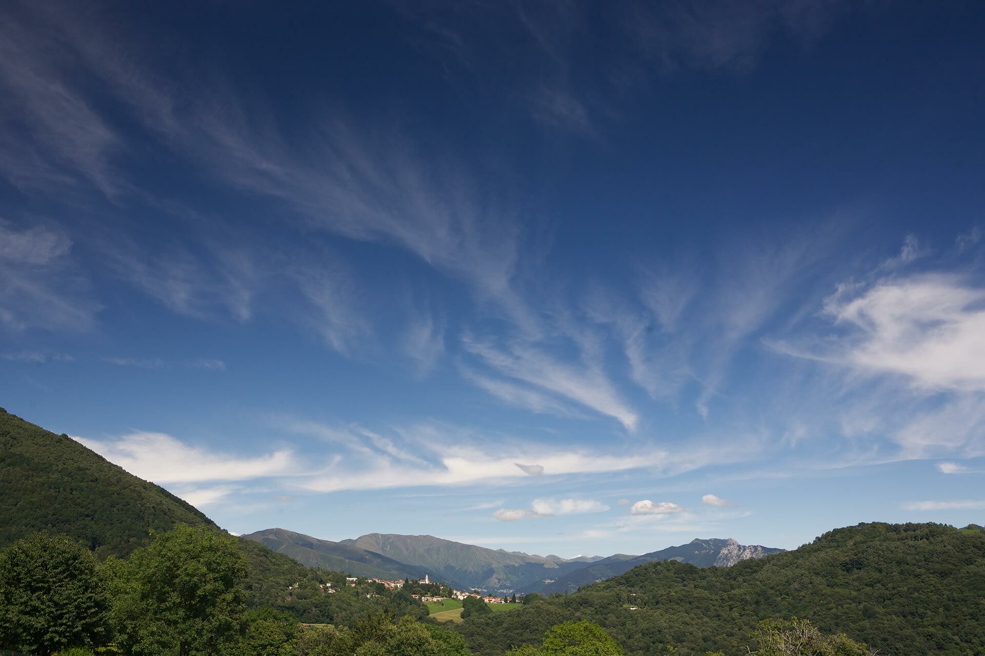
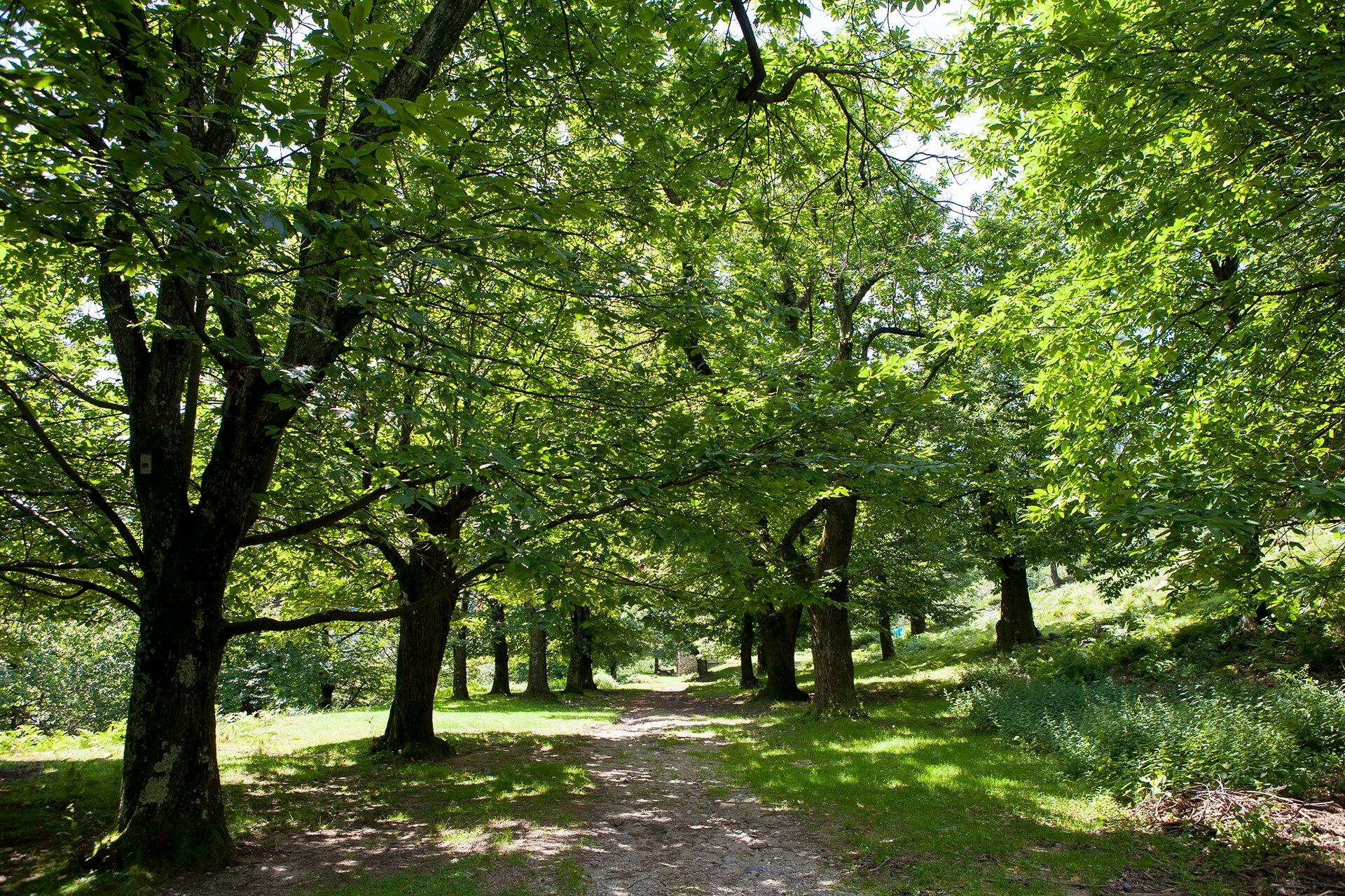
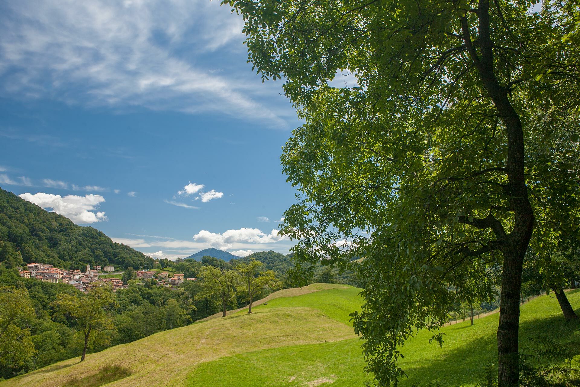
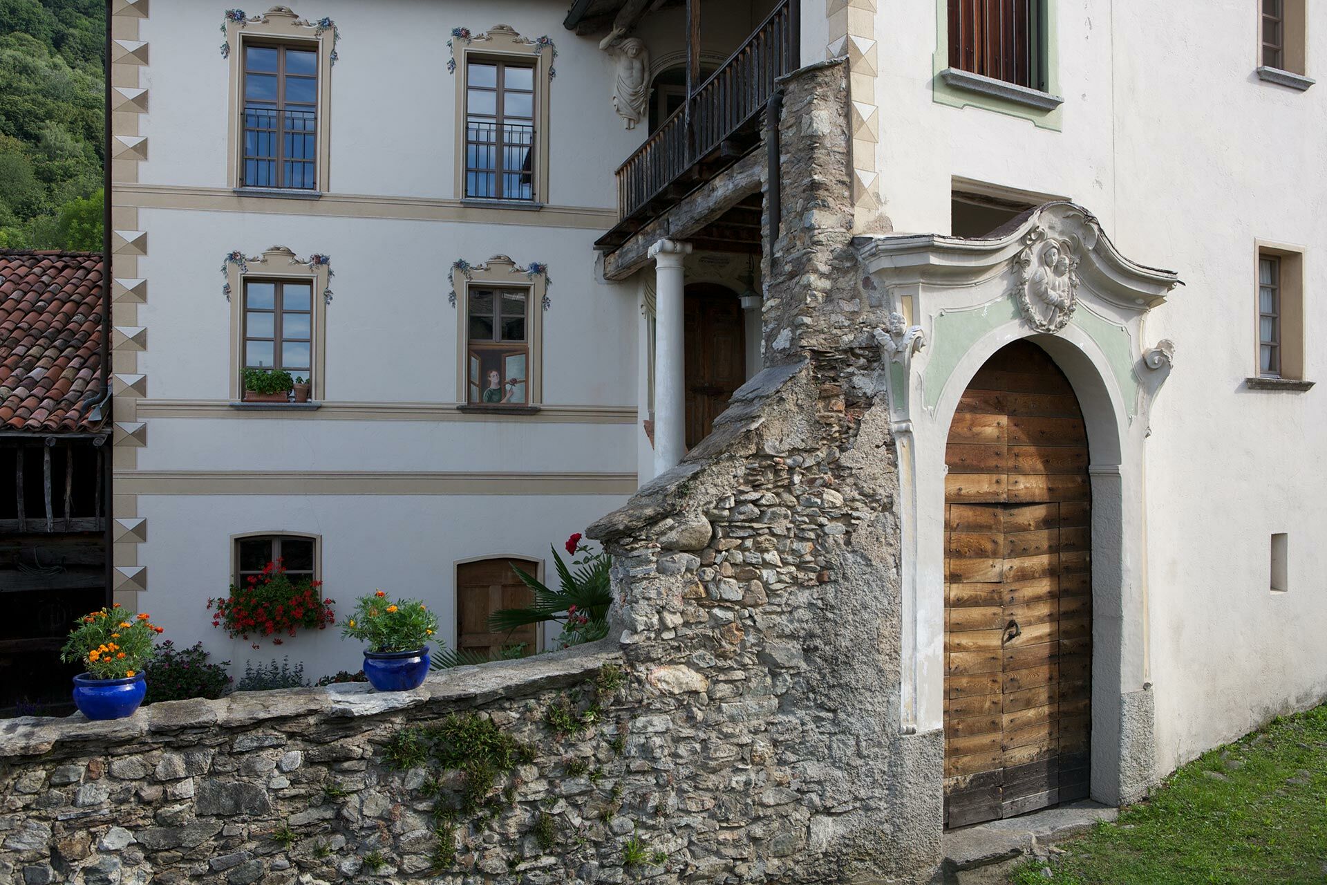
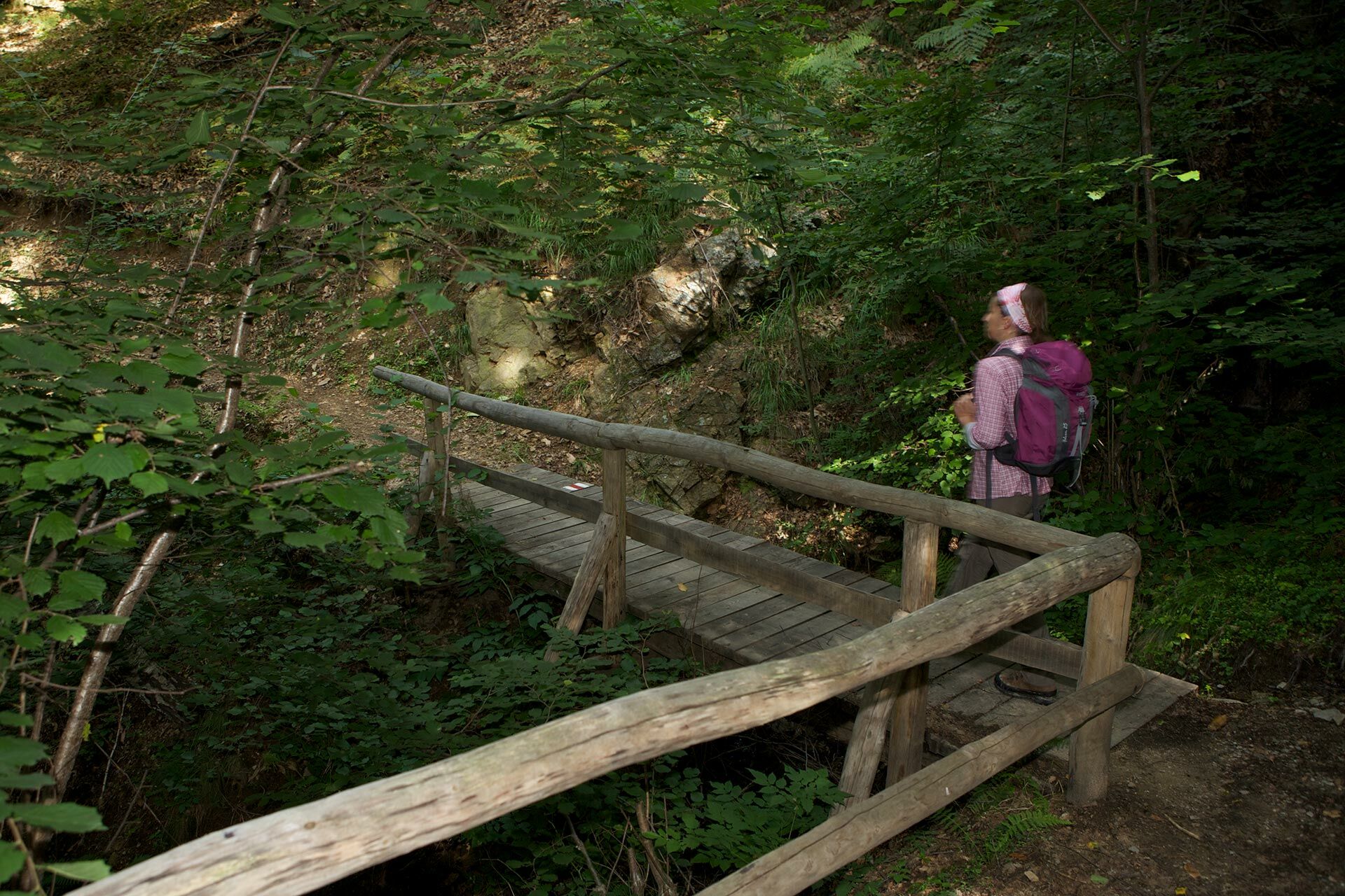
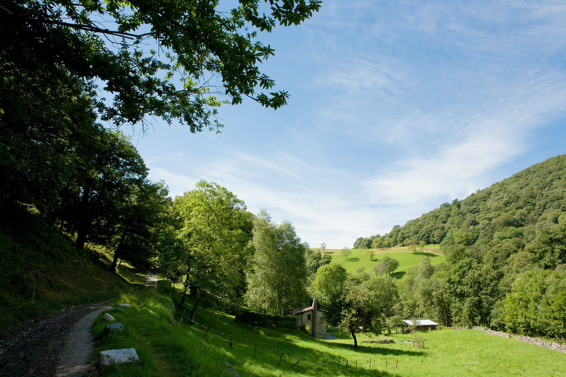
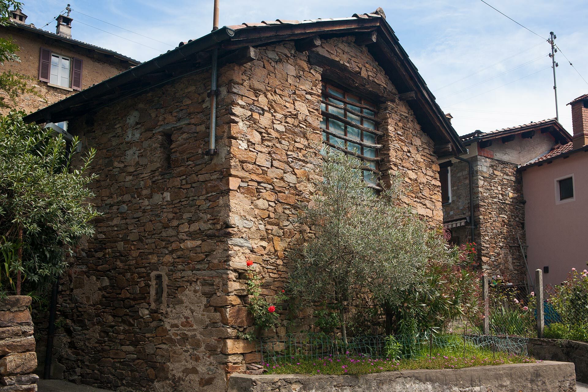
A Thematic path crossing five villages in the Alto Malcantone region, passing through woodlands with chestnut trees, birches, creeks and fields. Moreover, one can admire the view of the various villages and glimpse a panorama reaching until Monte Rosa.
- Sværhedsgrad
-
medium
- Evaluering
-
- Rute
-
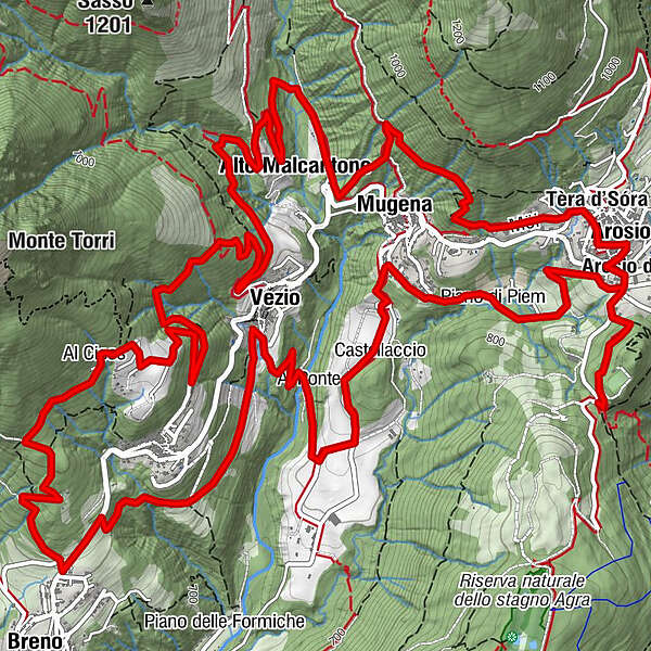
Grotto SgambadaLugano (273 m)0,0 kmTèra d'Sóra0,7 kmArosio di Sotto0,7 kmArosio (864 m)1,0 kmTèra d'Sóra1,2 kmPrada1,5 kmMugena (815 m)2,8 kmAlto Malcantone (810 m)3,9 kmLod7,7 kmAl Cioss8,1 kmBreno (799 m)9,4 kmFescoggia (837 m)10,0 kmVezio (782 m)11,0 kmSan Bartolomeo11,1 kmAl Ponte11,7 kmMugena (815 m)13,1 kmPiano di Piem13,6 kmArosio (864 m)14,3 kmArosio di Sotto14,5 kmTèra d'Sóra14,5 km
- Højeste punkt
- 952 m
- Højdeprofil
-
 © outdooractive.com


-

-
ForfatterRundvisningen The Chestnut Trail bruges af outdooractive.com forudsat.
GPS Downloads


Generel information
Kulturel/Historisk
Insider-tip
Flora
Fauna
Lovende
Flere ture i regionerne
-
Lago Maggiore / Lombardei
748
-
Malcantone
514
-
Alto Malcantone
251