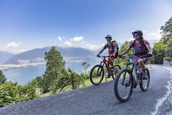
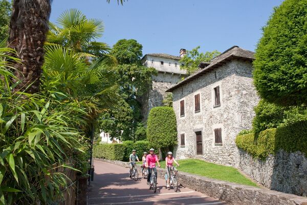
© Bellinzona e Valli Turismo - Fabio Bernasconi
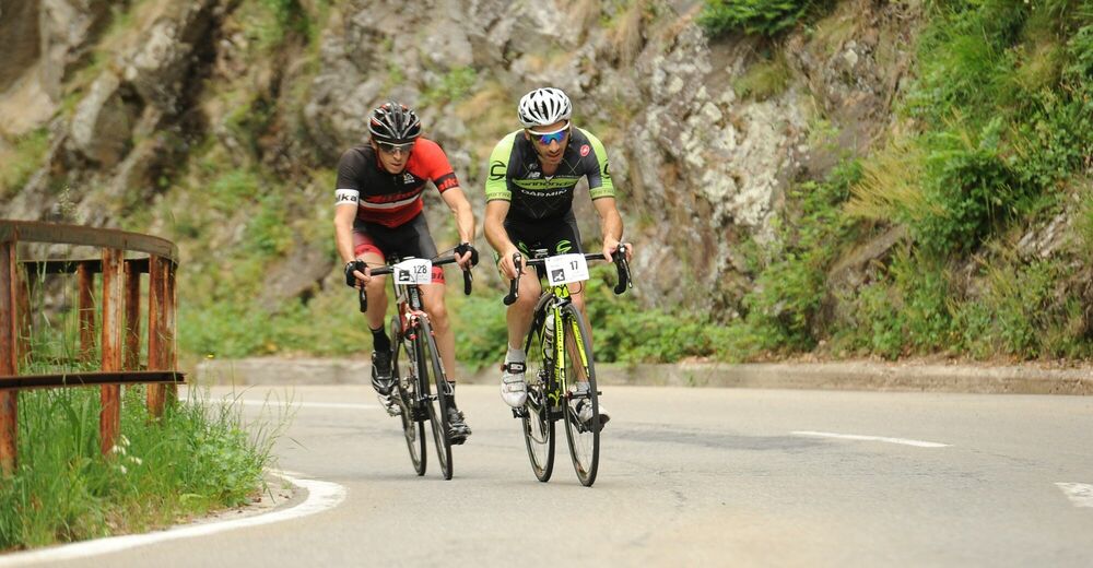
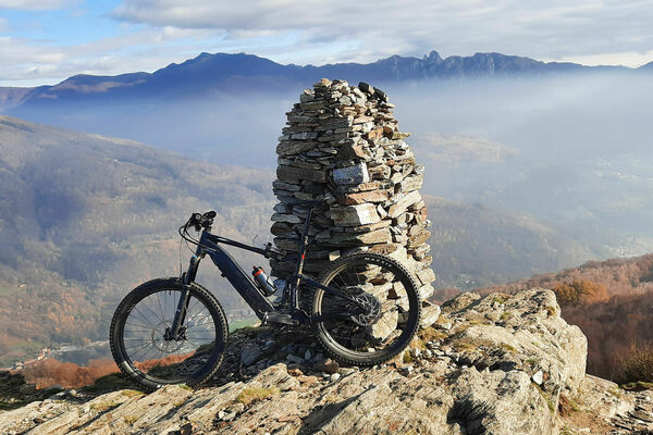
© Bellinzona e Valli Turismo - Fabio Bernasconi

© Bellinzona e Valli Turismo - Fabio Bernasconi
- Kort beskrivelse
-
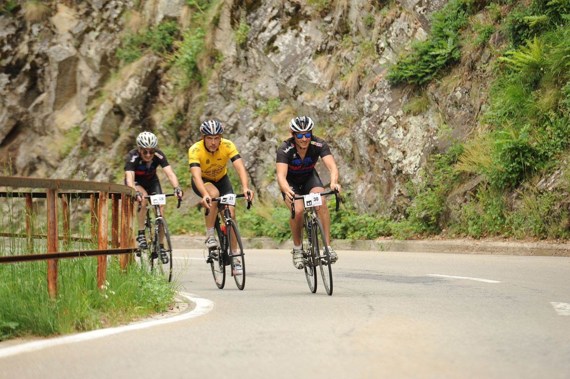
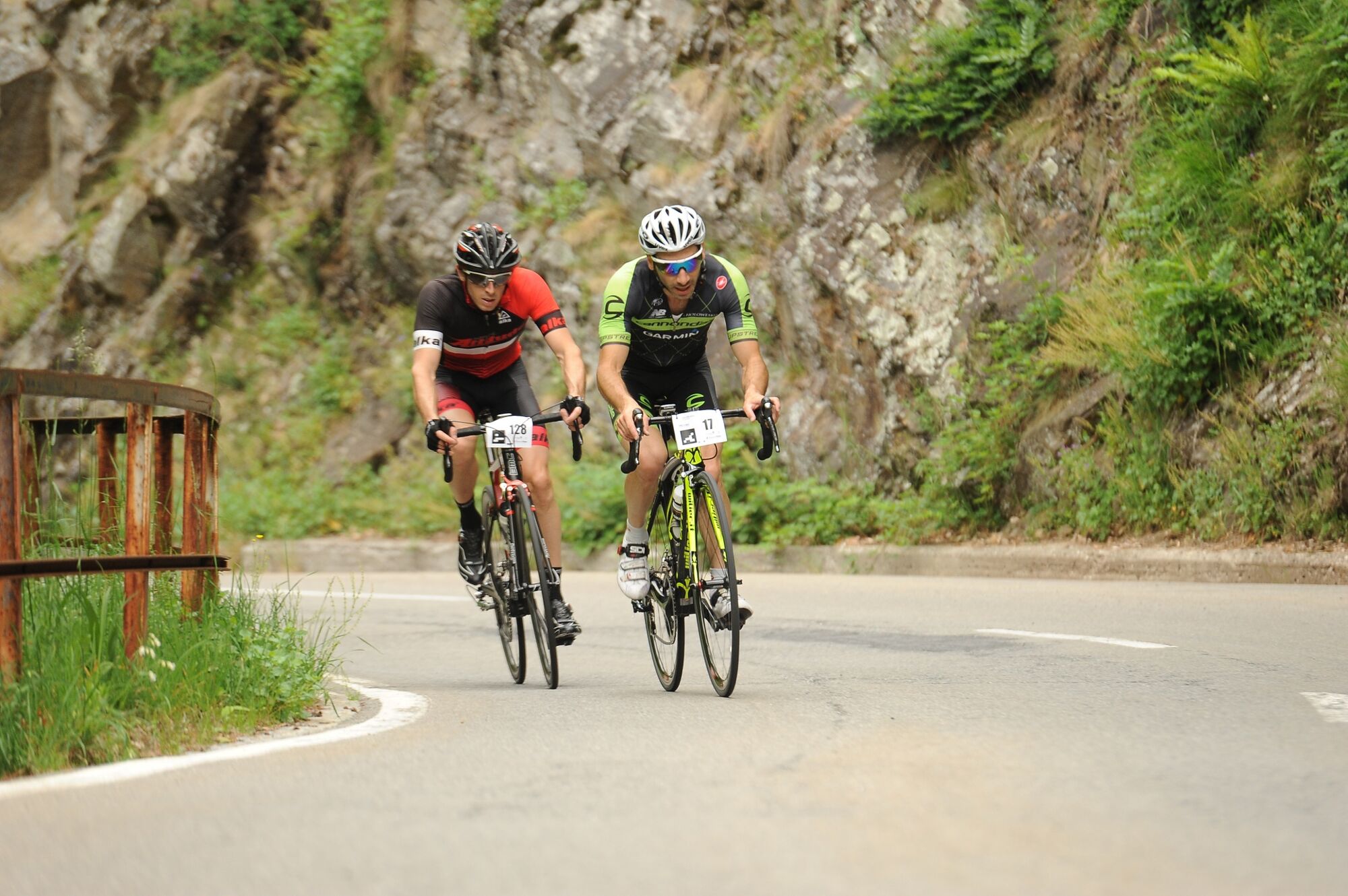
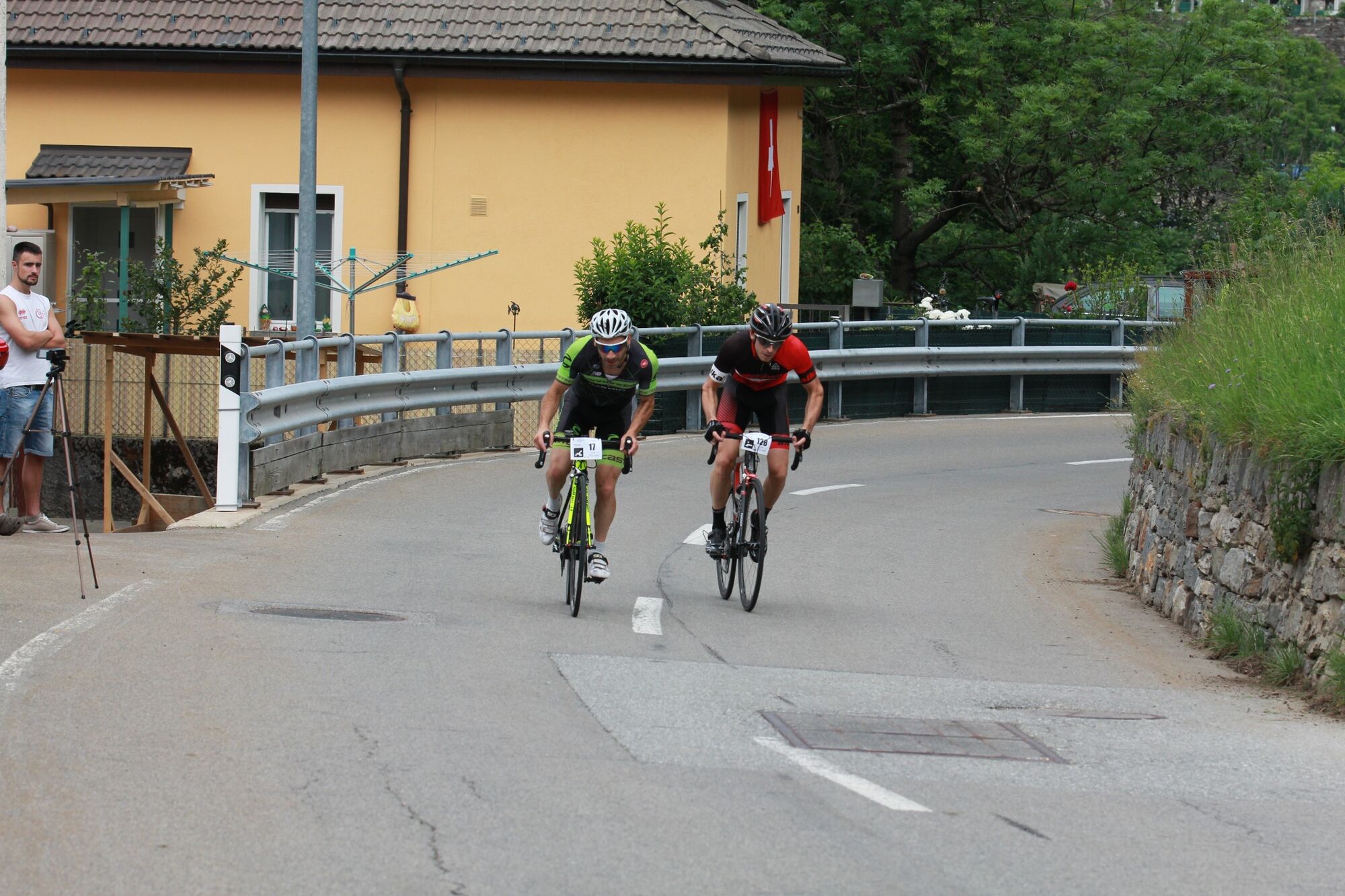
This route starts at the municipality of Giubiasco (244 m above sea level), on the cantonal road which climbs from Piazza Grande, one of the widest places of the Canton (church of Virgin Maria), in the Valley Morobbia.
- Sværhedsgrad
-
medium
- Evaluering
-
- Rute
-
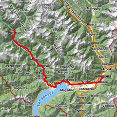
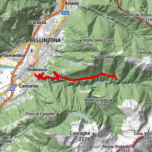
Giubiasco (238 m)0,5 kmPianezzo (491 m)2,9 kmBellinzone (230 m)3,9 kmVellano6,9 kmS. Antonio (Val Morobbia) (822 m)7,2 kmCarmena7,4 kmChiesa dei Santi Antonio abate e Abbondio7,5 kmMelirolo8,9 kmCarena10,5 km
- Bedste sæson
-
janfebmaraprmajjunjulaugsepoktnovdec
- Højeste punkt
- 951 m
- Destination
-
Carena
- Højdeprofil
-
 © outdooractive.com
- Forfatter
-
Rundvisningen Valle Morobbia: Giubiasco - Carena bruges af outdooractive.com forudsat.
GPS Downloads


Flere ture i regionerne
-
Comer See
38
-
Bellinzona und Umgebung
48
-
Pianezzo
14