- Kort beskrivelse
-
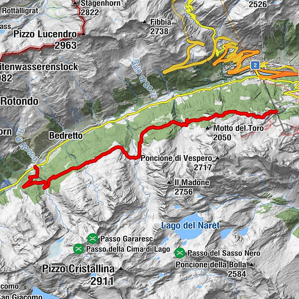
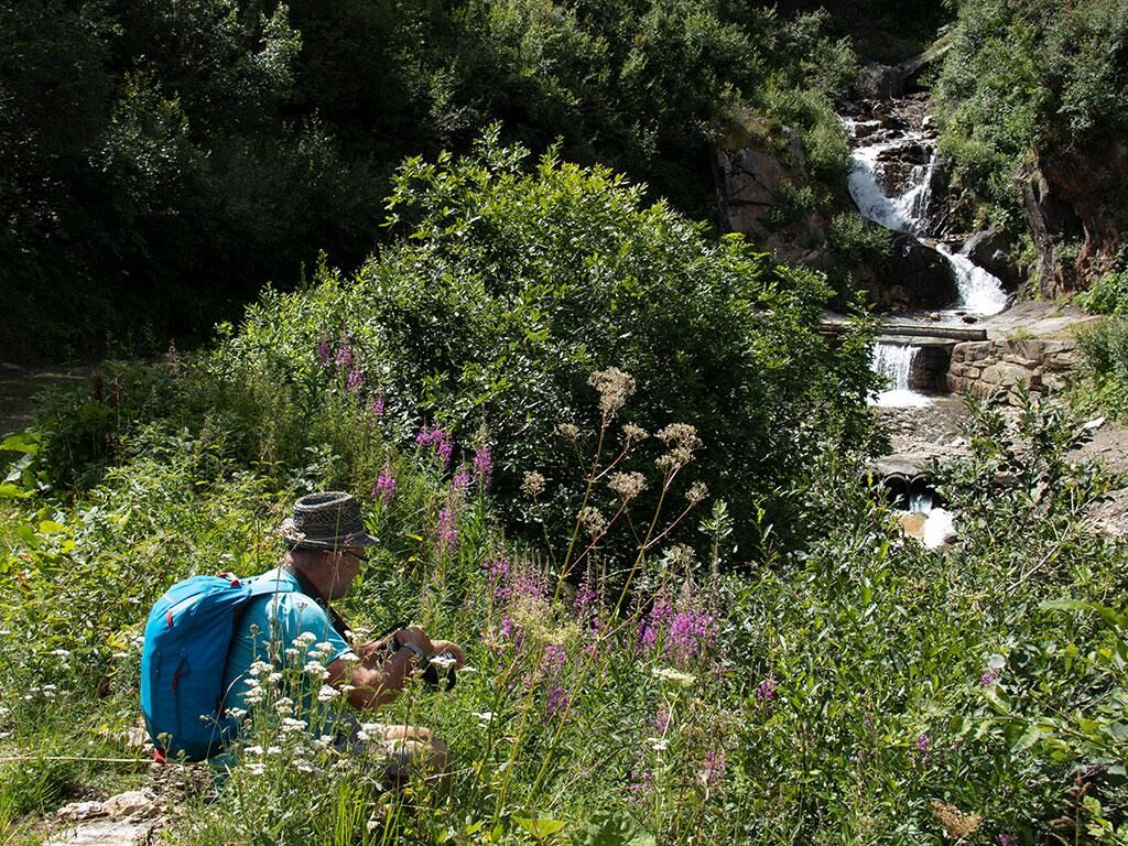
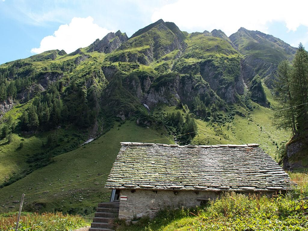
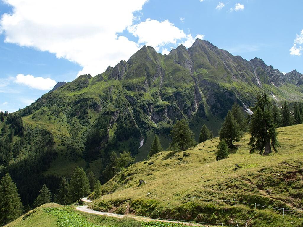
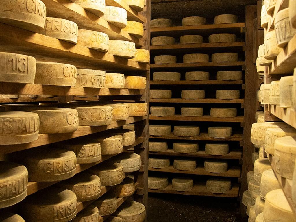
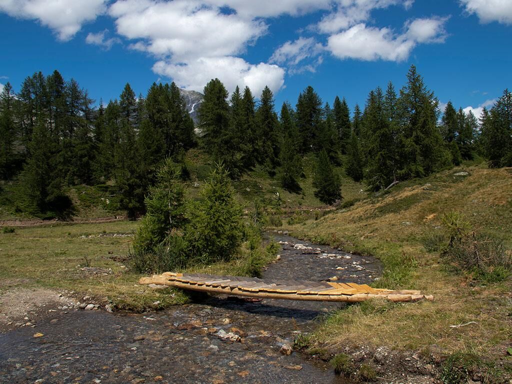
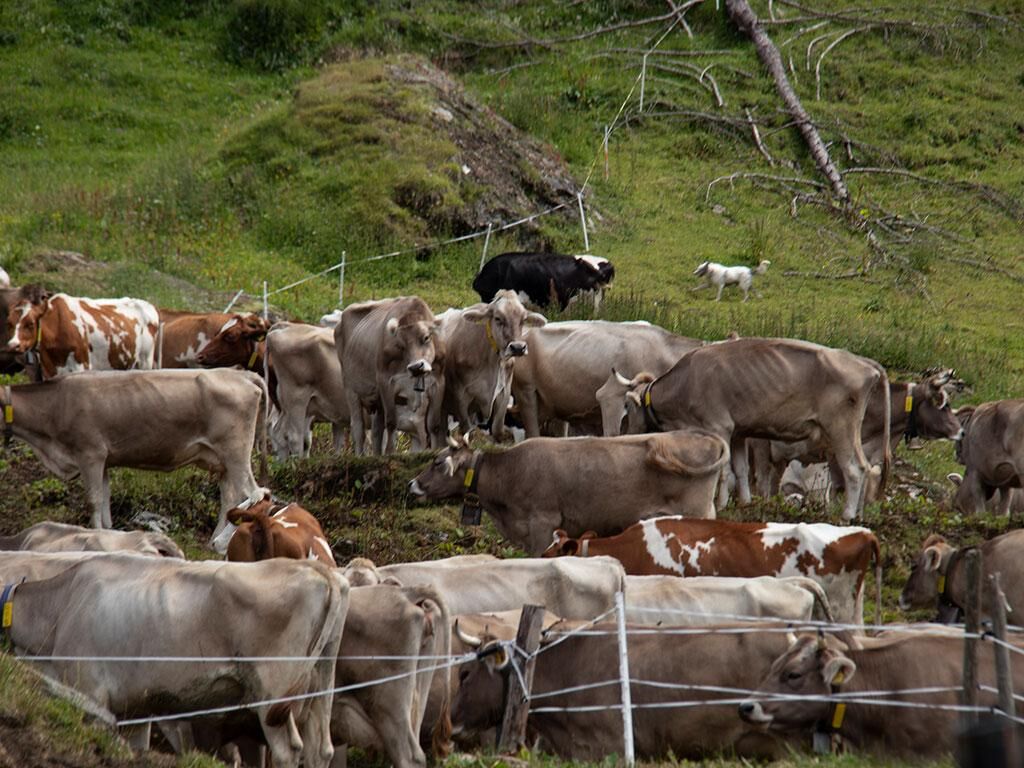
Discover a stunningly beautiful area while walking the Alpages of Val Bedretto route. Dive into its wild natural landscape, characterised by its vivid colours and relaxing silence. Crossing the alpages surrounded by unspoilt landscapes you’ll have the chance to taste the freshest of cheese directly from the farmer, a joy that is all too rare today.
- Sværhedsgrad
-
let
- Evaluering
-
- Rute
-
Alpe di Pesciüm0,1 kmPesciüm0,1 kmRuinó3,9 kmSelva12,5 kmMott12,8 km
- Bedste sæson
-
janfebmaraprmajjunjulaugsepoktnovdec
- Højeste punkt
- 1.900 m
- Destination
-
Ronco Bedretto
- Højdeprofil
-
 © outdooractive.com


- Forfatter
-
Rundvisningen The Strada degli Alpi of Bedretto Valley bruges af outdooractive.com forudsat.
GPS Downloads


Generel information
Forfriskningsstop
Insider-tip
Flora
Fauna
Lovende