


- Kort beskrivelse
-
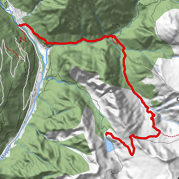
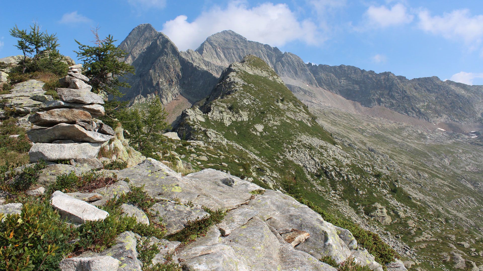
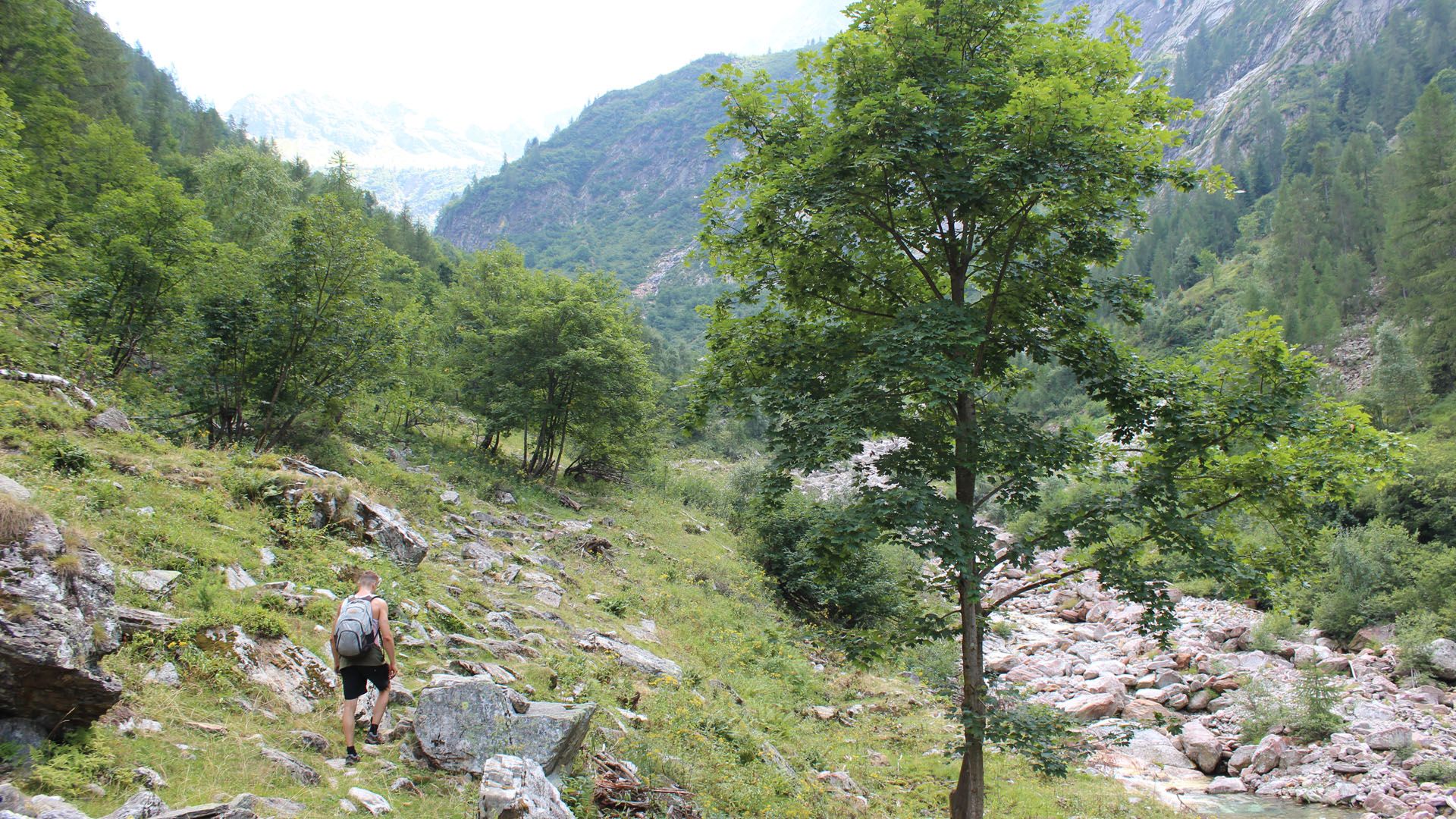
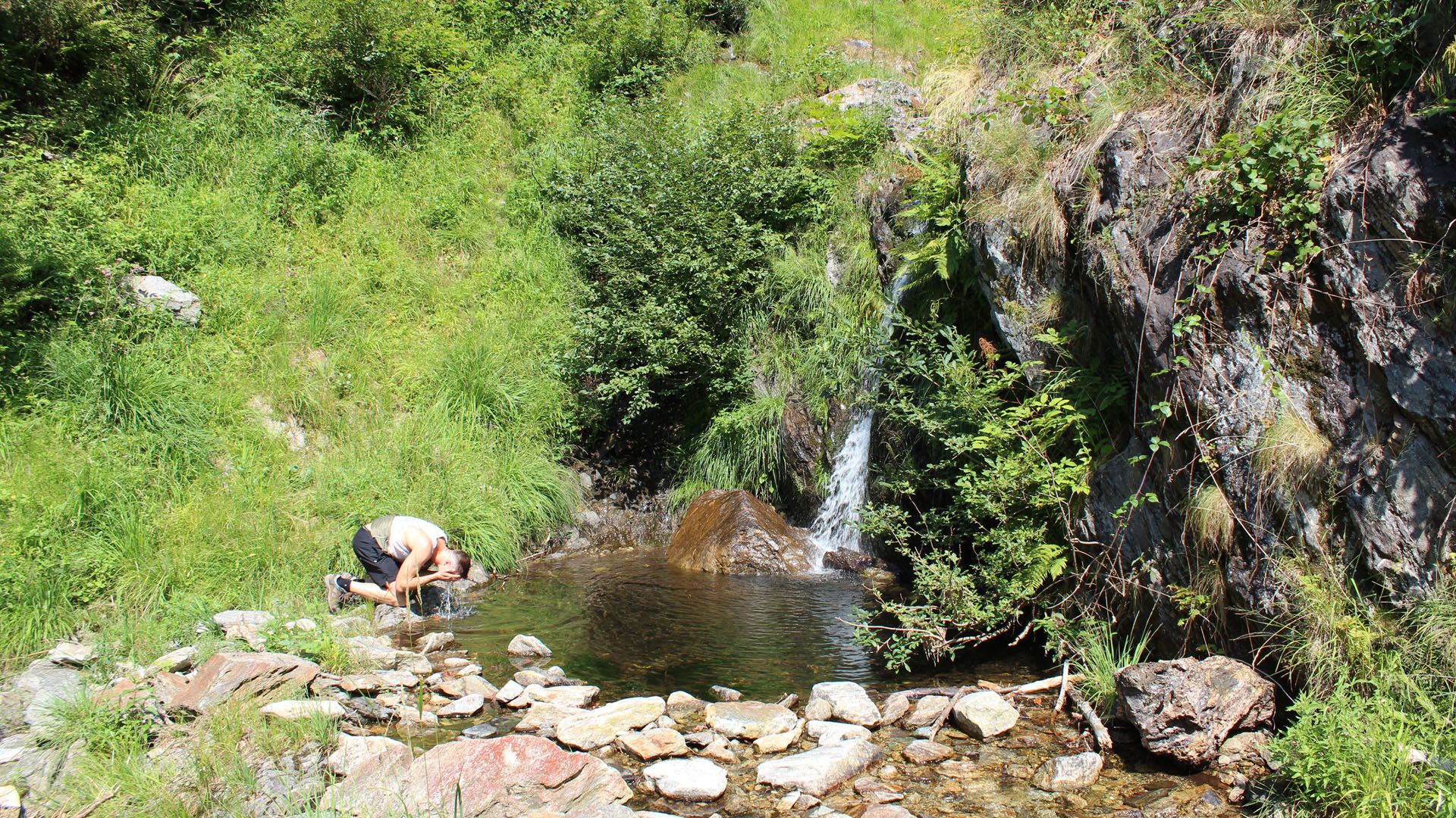
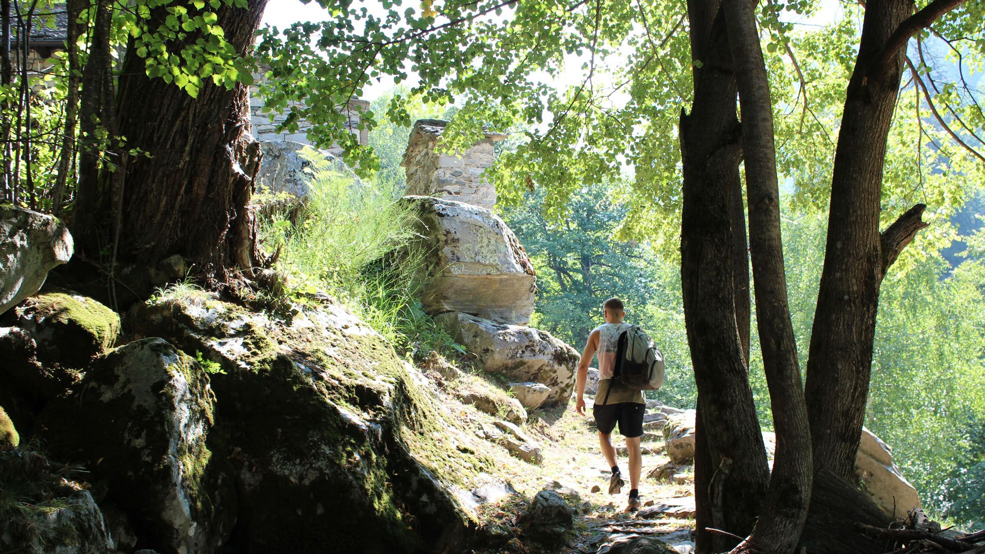
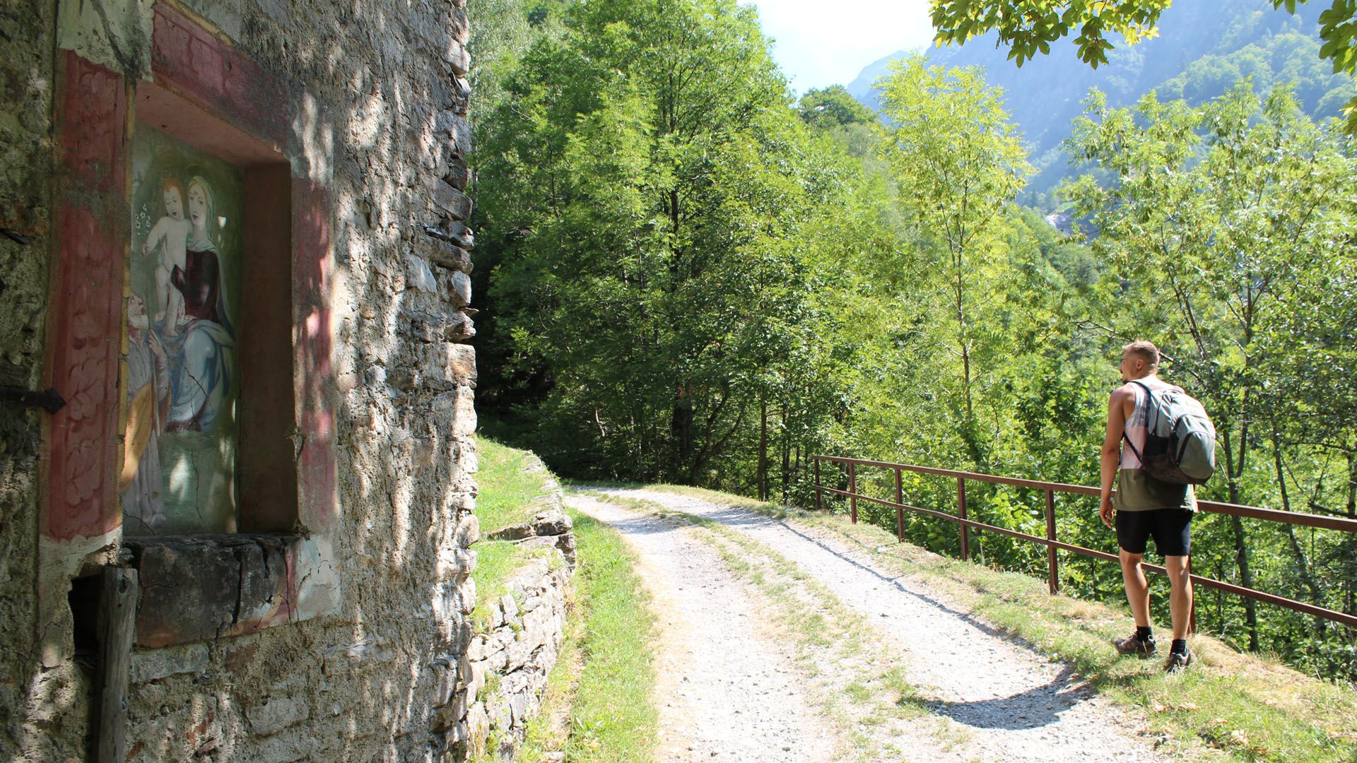
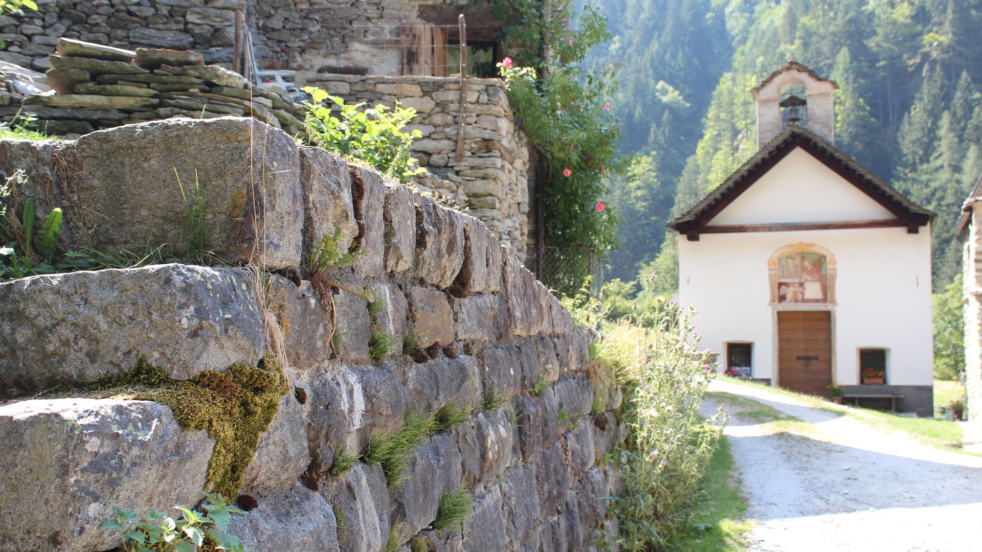
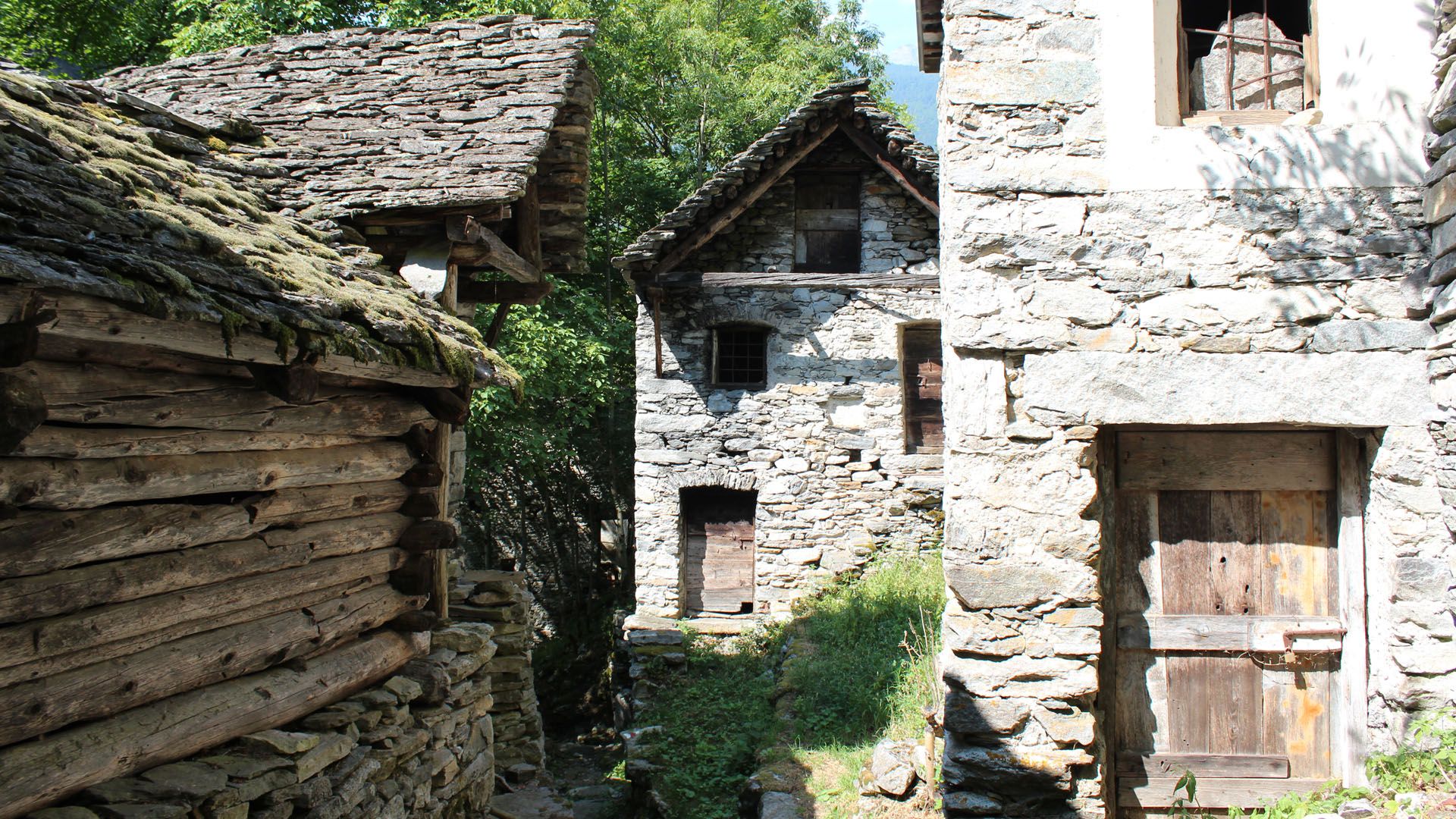
A steep yet varied hike featuring the blue of the Lago di Tomè and a steep descent through the lush green Valle di Pertüs.
- Sværhedsgrad
-
medium
- Evaluering
-
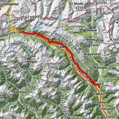
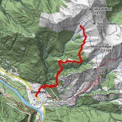
- Rute
-
Rifugio Tomeo (1.882 m)0,0 kmSan Carlo7,0 kmPrato-Sornico (754 m)10,1 kmPonte10,2 km
- Bedste sæson
-
janfebmaraprmajjunjulaugsepoktnovdec
- Højeste punkt
- 2.137 m
- Destination
-
Prato Sornico
- Højdeprofil
-
 © outdooractive.com


-

-
ForfatterRundvisningen Stage 2: Capanna Tomeo-Pertüs-Monti di Predee-Prato Sornico bruges af outdooractive.com forudsat.
GPS Downloads


Generel information
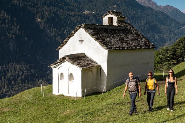
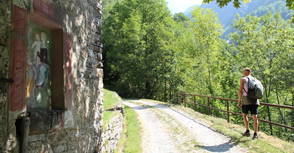
Kulturel/Historisk
Flora
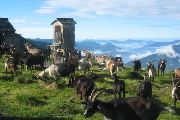
Fauna
Lovende
Flere ture i regionerne