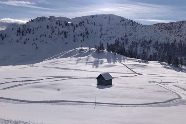
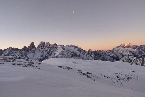
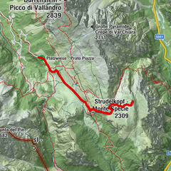
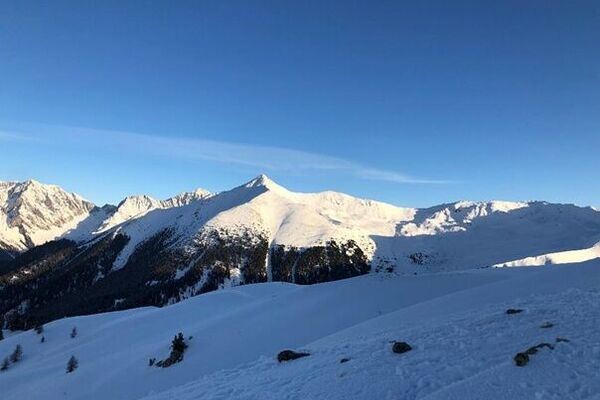
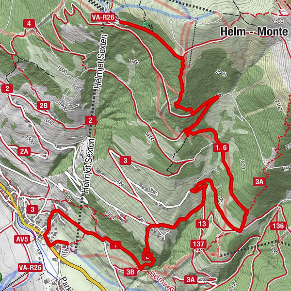
Mountain station Monte Elmo - Rifugio Larice - Valley station Monte Elmo


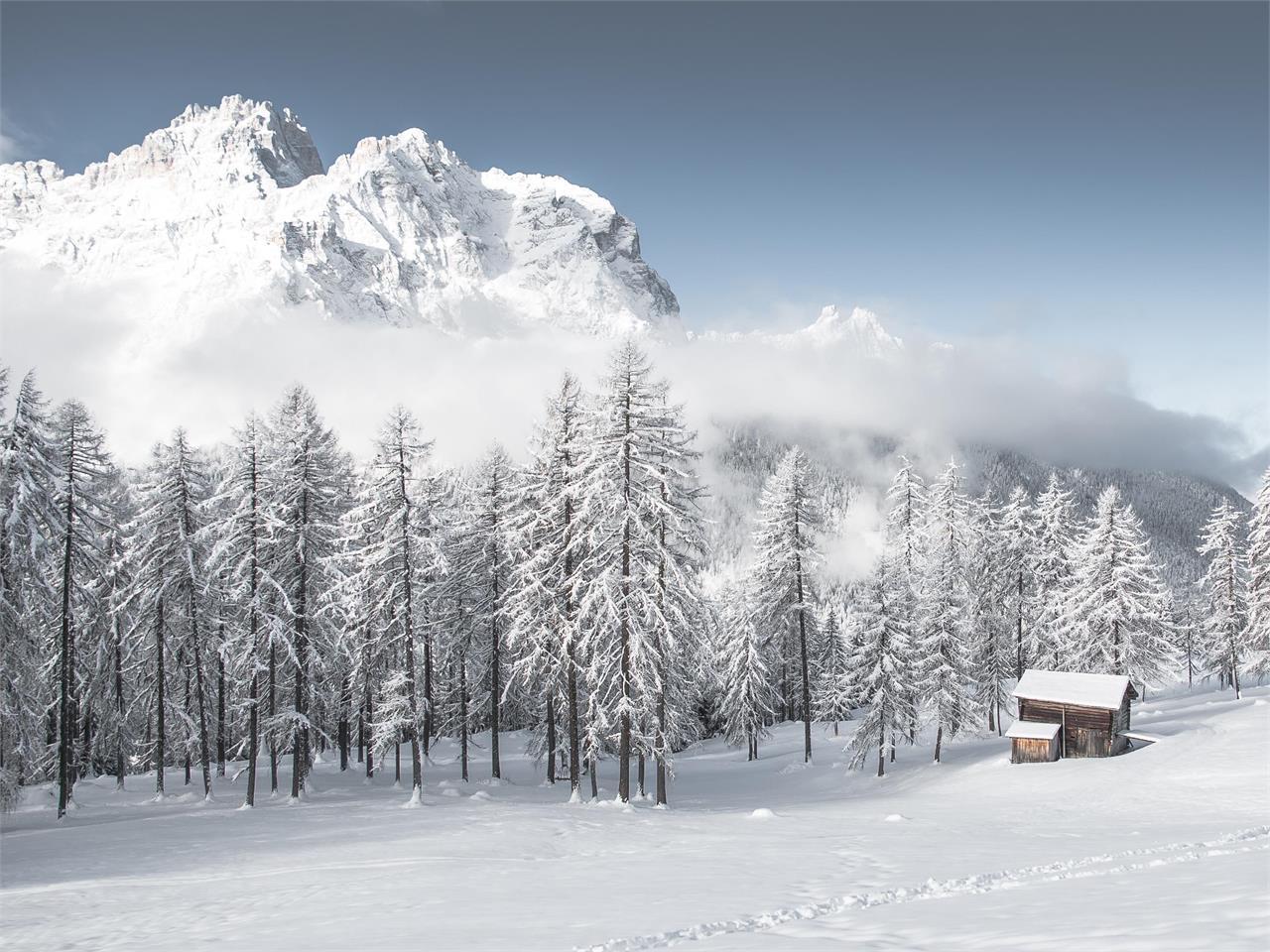
© 3 Zinnen Dolomites - M. Kottersteger

- Sværhedsgrad
-
medium
- Evaluering
-
- Rute
-
Lärchenhütte (1.830 m)2,0 kmTschurtschenthaler Hof4,1 kmSexten6,7 km
- Bedste sæson
-
augsepoktnovdecjanfebmaraprmajjunjul
- Højeste punkt
- 2.118 m
- Højdeprofil
-
 © outdooractive.com
- Forfatter
-
Rundvisningen Mountain station Monte Elmo - Rifugio Larice - Valley station Monte Elmo bruges af outdooractive.com forudsat.