© Hotel CYPRIANERHOF - Cyprianerhof Dolomit Resort

- Kort beskrivelse
-
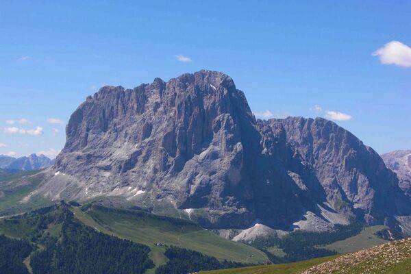
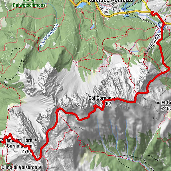
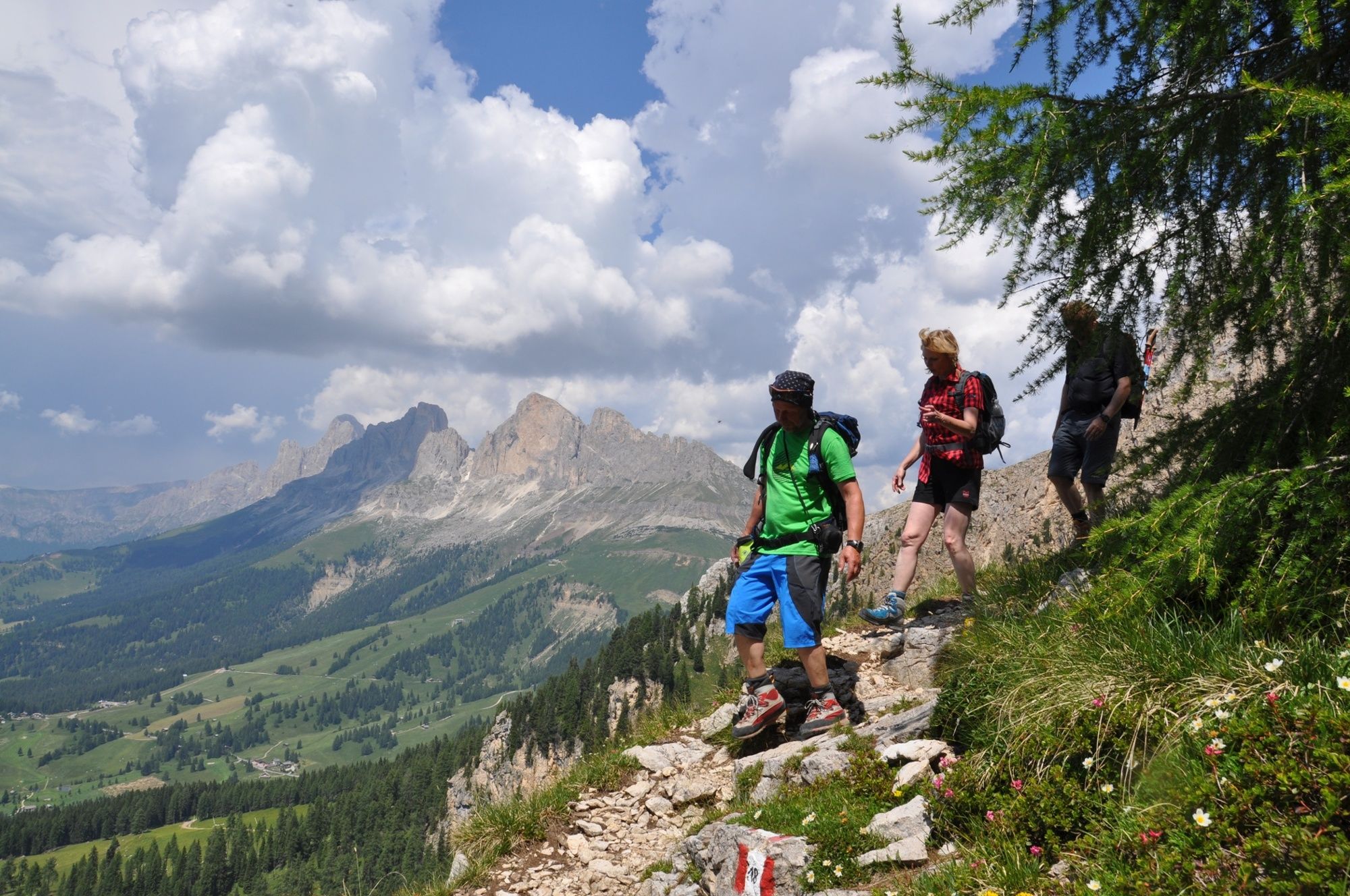
The interesting rise to the summit and the unbelievable panoramic view at the Catinaccio, Marmlada and Dolomites.
- Rute
-
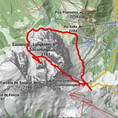
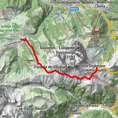
Erzlahnscharte (2.586 m)3,1 kmRotlahnscharte (2.610 m)4,2 kmCol Cornon (2.757 m)7,1 km
- Højeste punkt
- 2.792 m
- Højdeprofil
-
 © outdooractive.com
-

-
ForfatterRundvisningen Crossing the mount Latemar with Latemar peak bruges af outdooractive.com forudsat.
GPS Downloads


Flere ture i regionerne
-
Bozen und Umgebung - Südtirols Süden
1946
-
Eggental
1062
-
Karerpass
337