- Kort beskrivelse
-
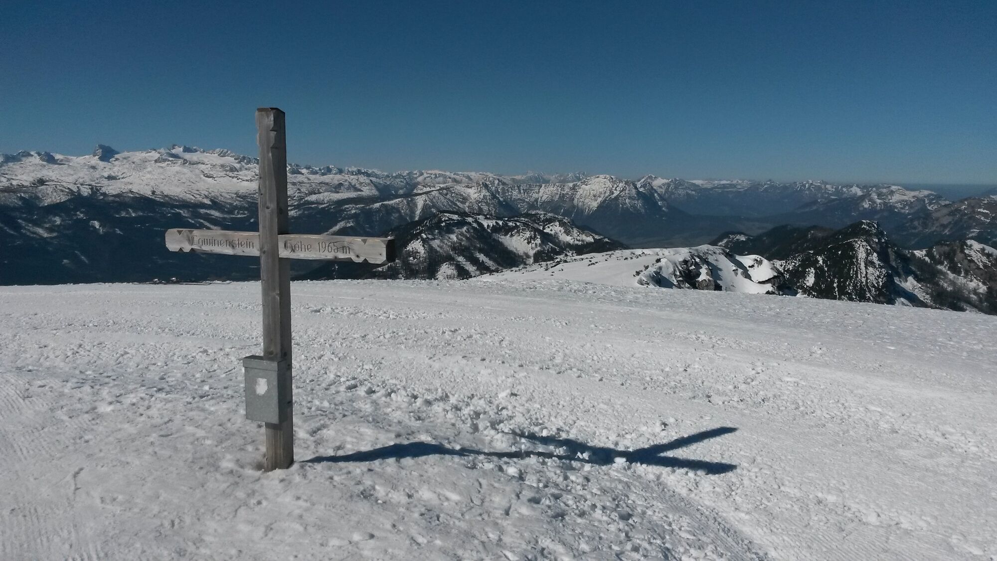
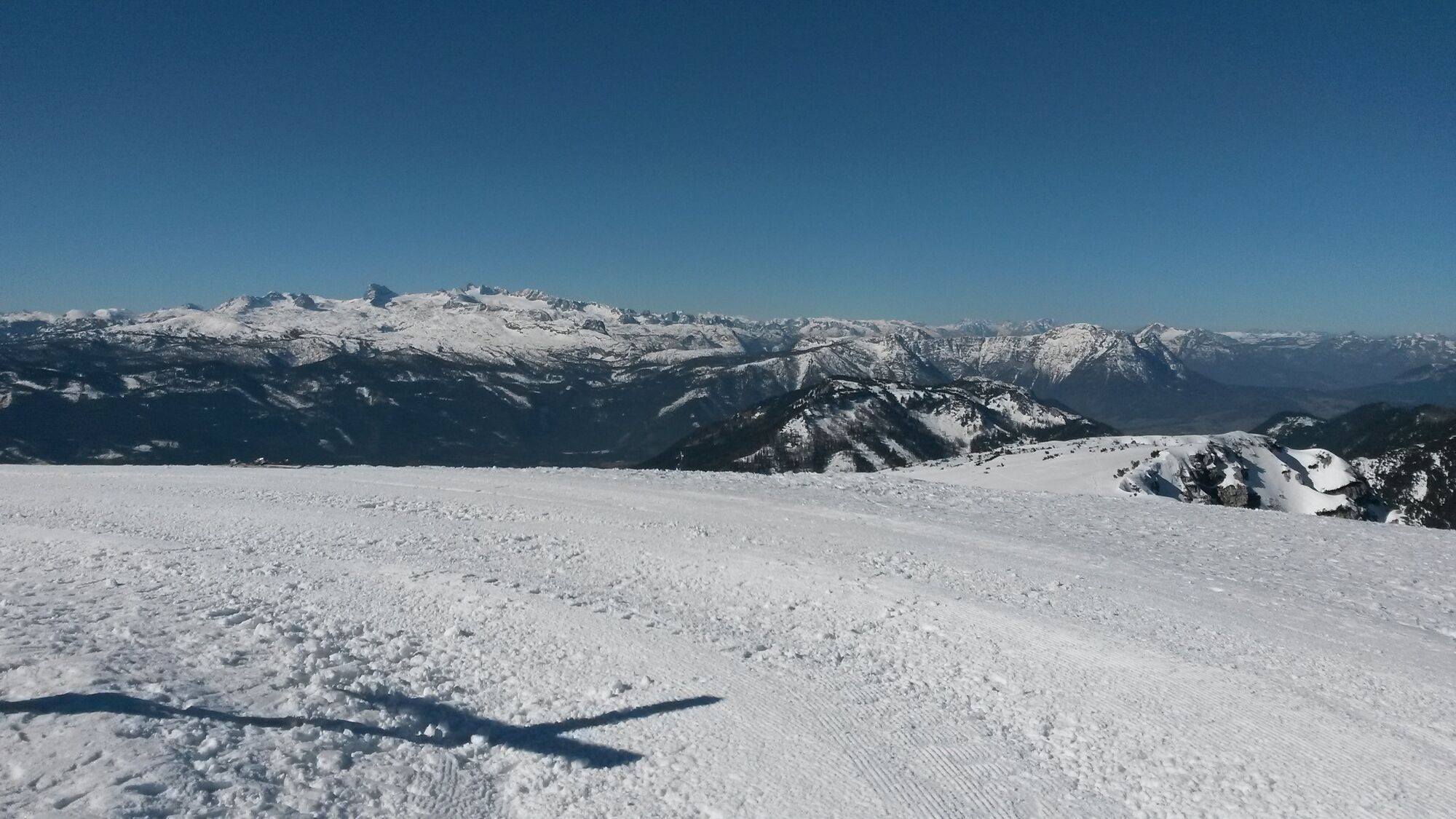
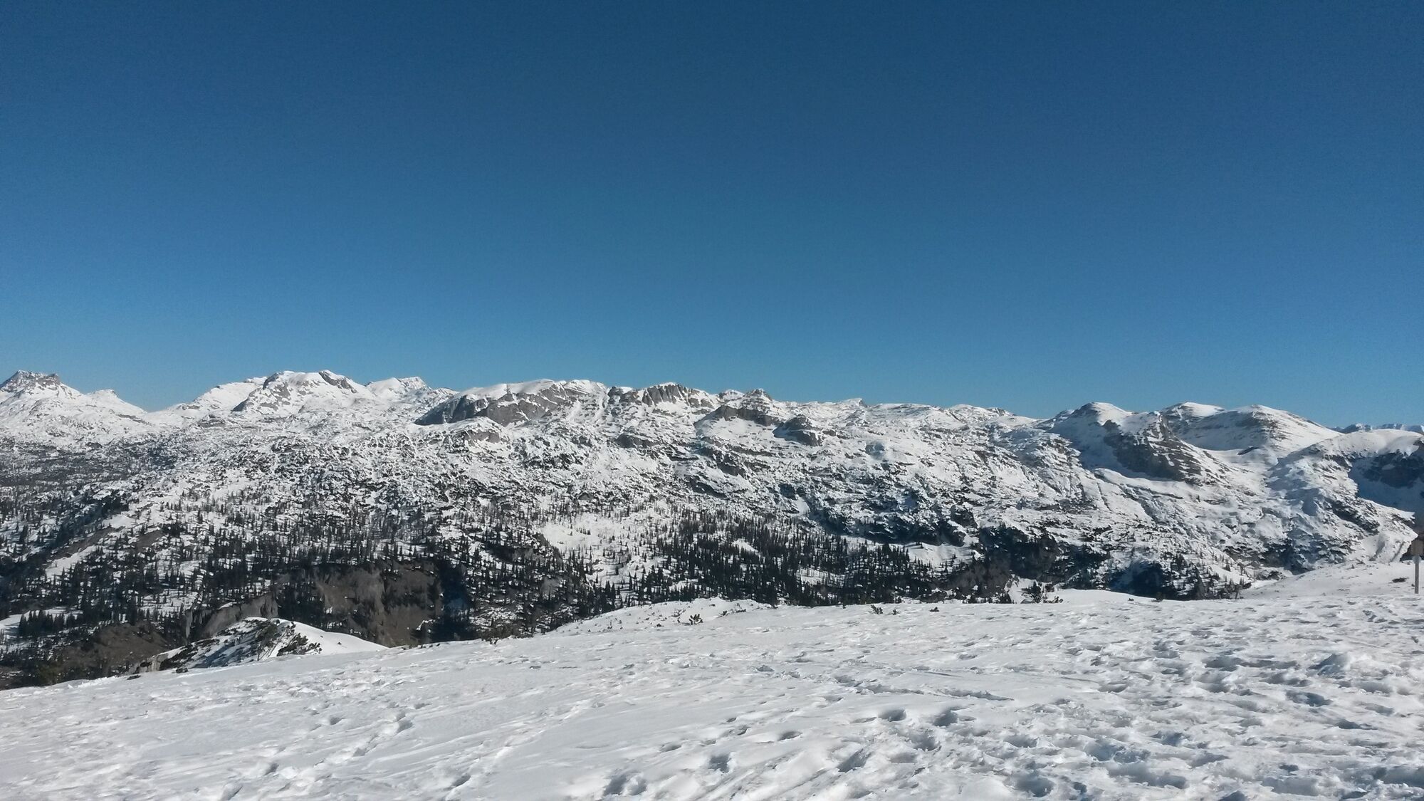
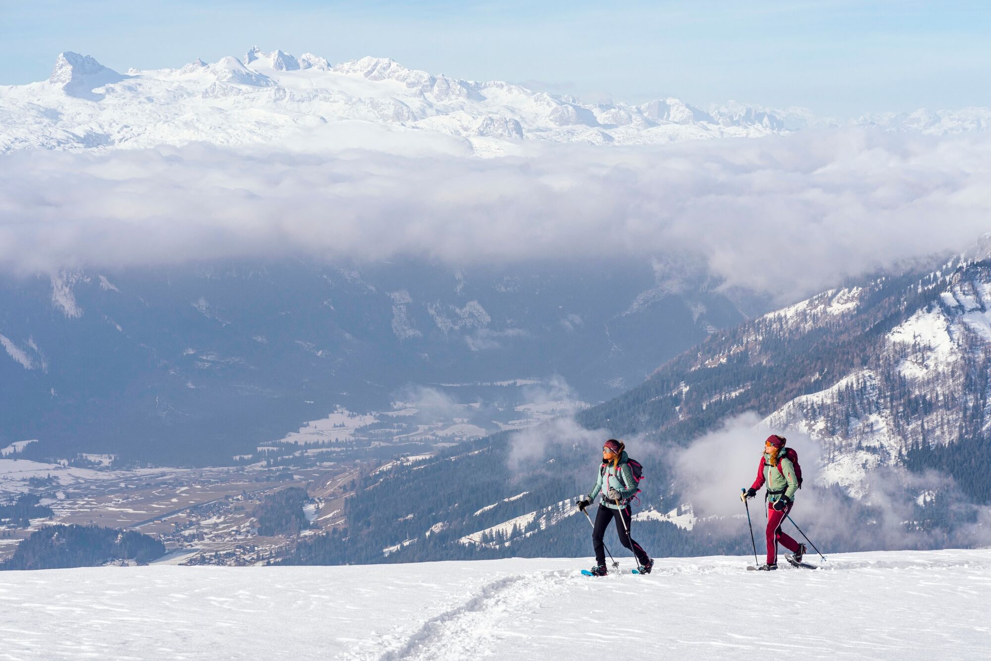
Hike on the prepared pedestrian slope to the summit of the Lawinenstein.Fantastic 360 degree panoramic view from the Grimming over the Dachstein and the arch of the Tote Gebirge to the Sturzhahn.
- Sværhedsgrad
-
let
- Evaluering
-
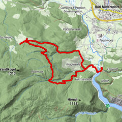
- Rute
-
Lawinenstein0,4 kmLawinenstein (1.965 m)0,7 kmS'Kriemandl (1.880 m)2,0 km
- Bedste sæson
-
augsepoktnovdecjanfebmaraprmajjunjul
- Højeste punkt
- 1.950 m
- Destination
-
Toll station Tauplitzalm alpine road or valley station Mitterstein gondola lift
- Højdeprofil
-


- Forfatter
-
Rundvisningen "Lawinenstein - Tauplitzalm" bruges af outdooractive.com forudsat.
GPS Downloads


Generel information
Forfriskningsstop
Lovende
Flere ture i regionerne