© Ausseerland - Tom Lamm

© t - Tauplitzer Fremdenverkehrsbetriebee

© Tauplitzalm - Tauplitzer Fremdenverkehrsbetriebee

© Tauplitzalm - Tauplitzer Fremdenverkehrsbetriebee

© Ausseerland - Tom Lamm

- Kort beskrivelse
-
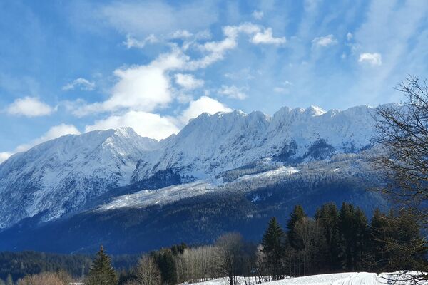
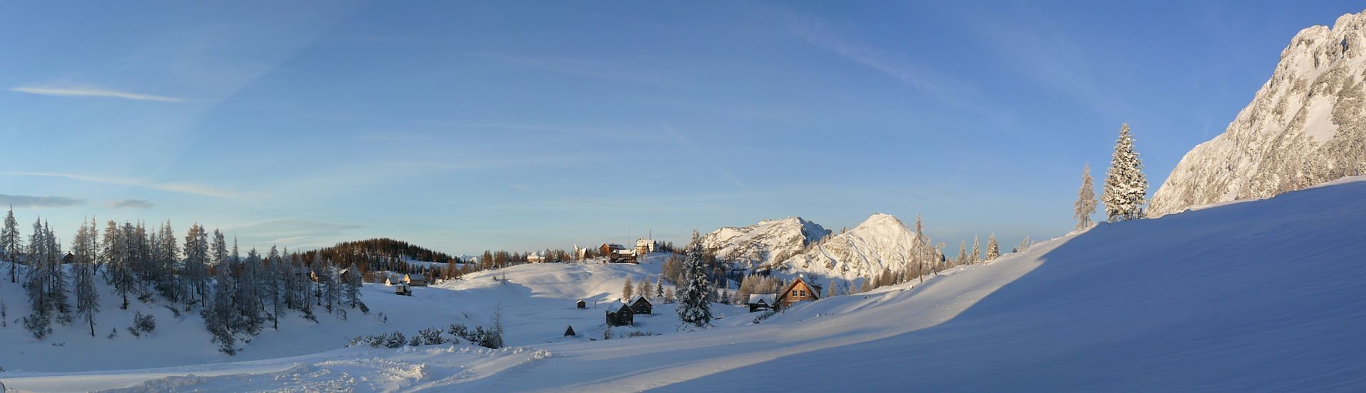
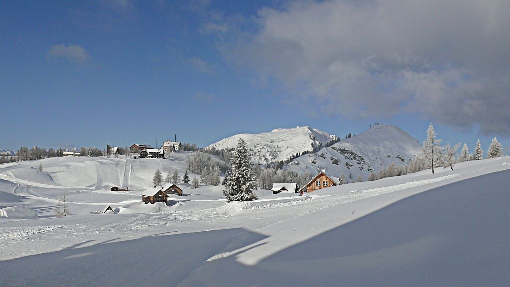
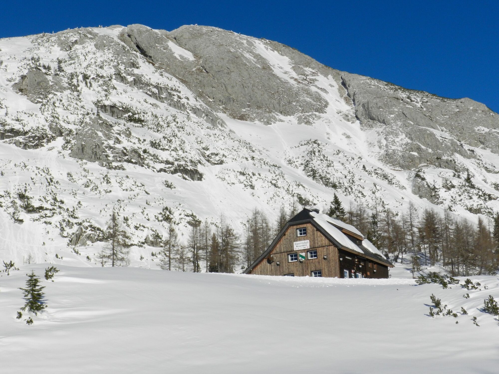
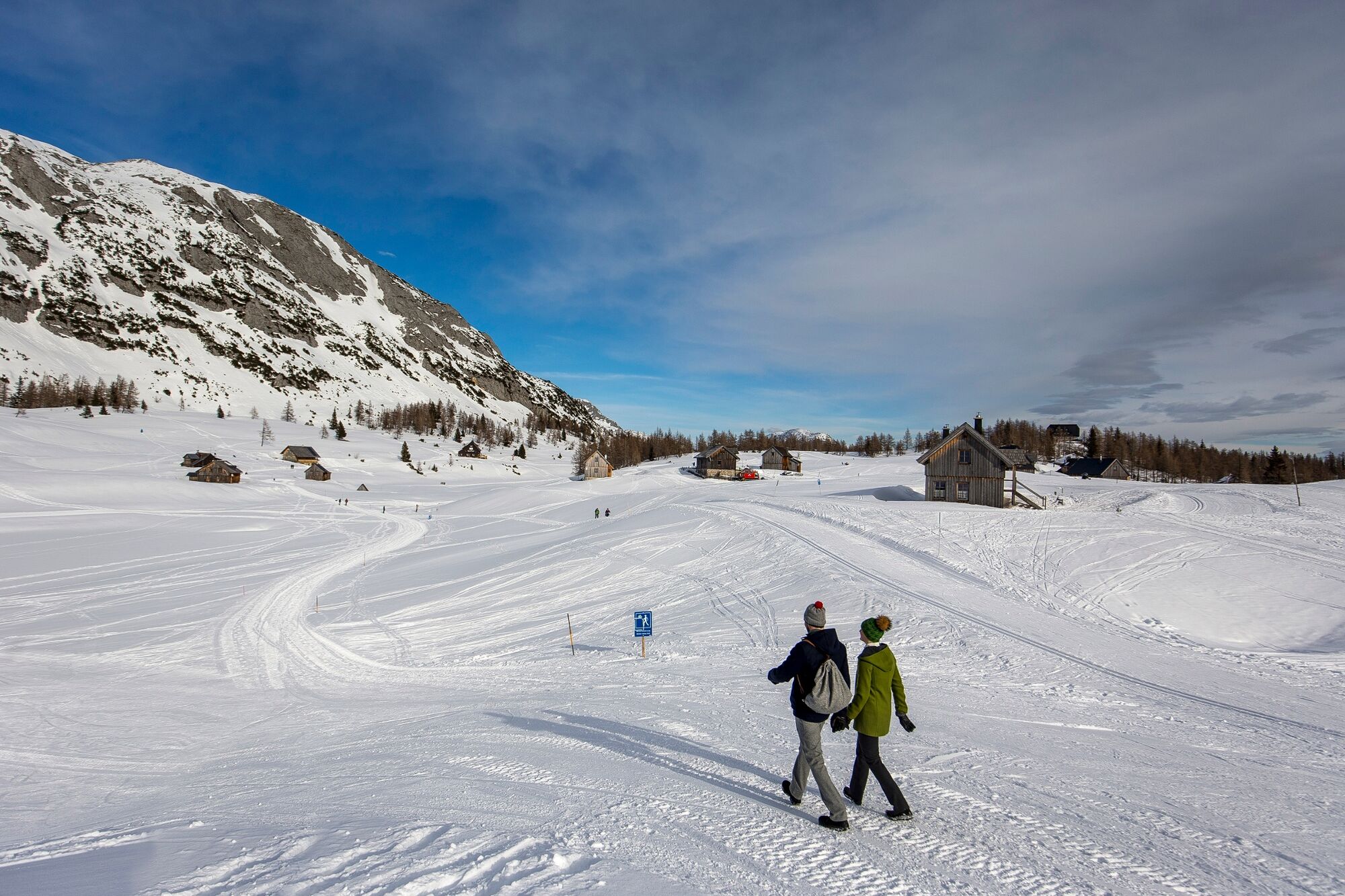
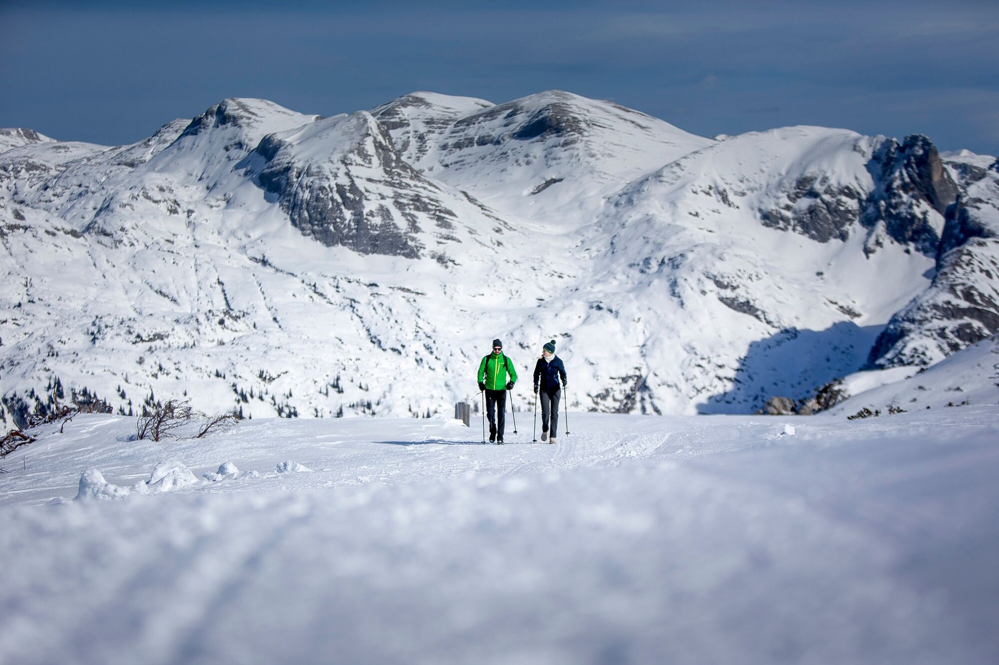
A hike across the wintry high plateau of the Tauplitzalm with beautiful views and cozy refreshment stops.
- Sværhedsgrad
-
medium
- Evaluering
-
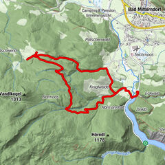
- Rute
-
Tauplitzalm2,1 kmGrazer Hütte2,8 km
- Bedste sæson
-
augsepoktnovdecjanfebmaraprmajjunjul
- Højeste punkt
- 1.655 m
- Destination
-
is the starting point
- Højdeprofil
-

- Forfatter
-
Rundvisningen Winterhike on Tauplitzalm bruges af outdooractive.com forudsat.
GPS Downloads


Generel information
Forfriskningsstop
Lovende
Flere ture i regionerne