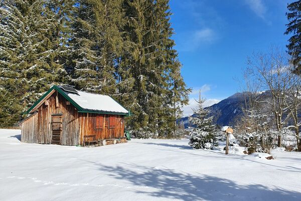
© Erlebnisregion Schladming-Dachstein - Barbara Luidold
- Kort beskrivelse
-
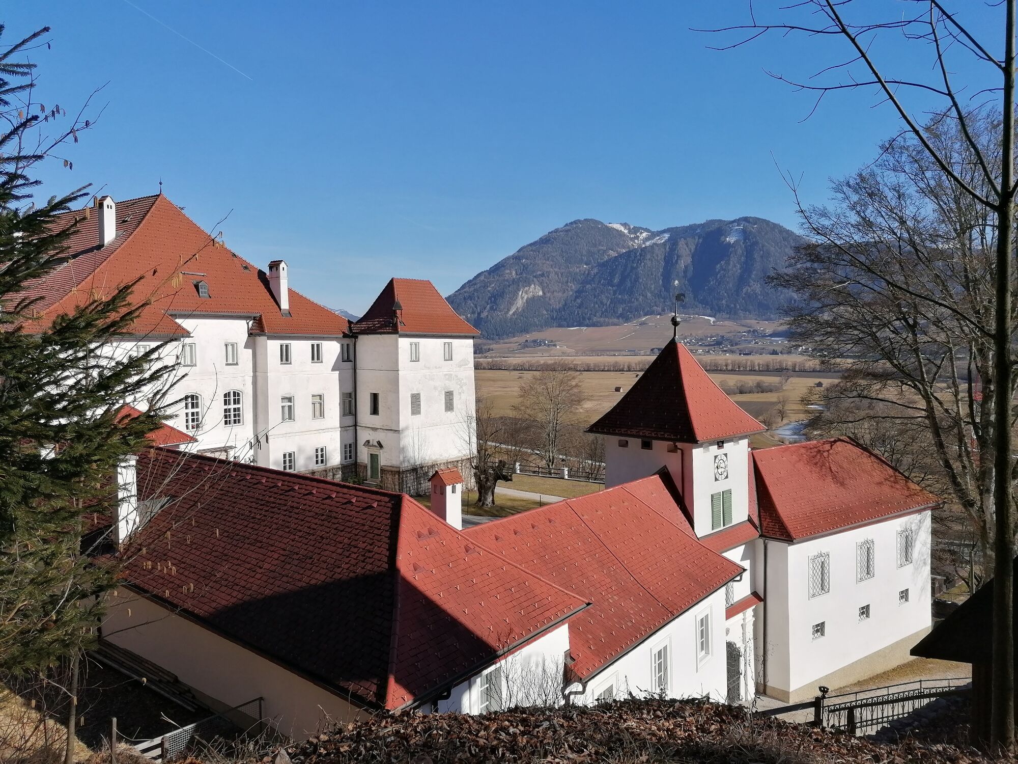
A fine afternoon hike to enjoy the winter. Whether you take the same path back through the forest or the easier accompanying path to the main road is up to you.
- Sværhedsgrad
-
medium
- Evaluering
-
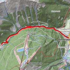
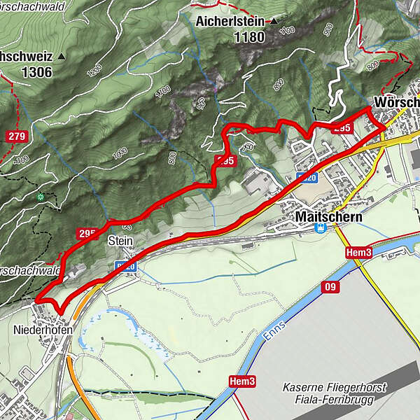
- Rute
-
WörschachGasthaus Weitgasser0,5 kmMaitschern0,6 kmRochus Kapelle2,9 kmNiederhofen3,2 kmStein3,6 kmMaitschern4,9 kmWörschach5,5 km
- Bedste sæson
-
augsepoktnovdecjanfebmaraprmajjunjul
- Højeste punkt
- 746 m
- Destination
-
At the starting point
- Højdeprofil
-

- Forfatter
-
Rundvisningen Winter hike Fürstensteig bruges af outdooractive.com forudsat.
GPS Downloads


Generel information
Forfriskningsstop
Flere ture i regionerne