

© Erlebnisregion Schladming-Dachstein - Schladming Dachstein - TVB Gröbminger Land
- Kort beskrivelse
-
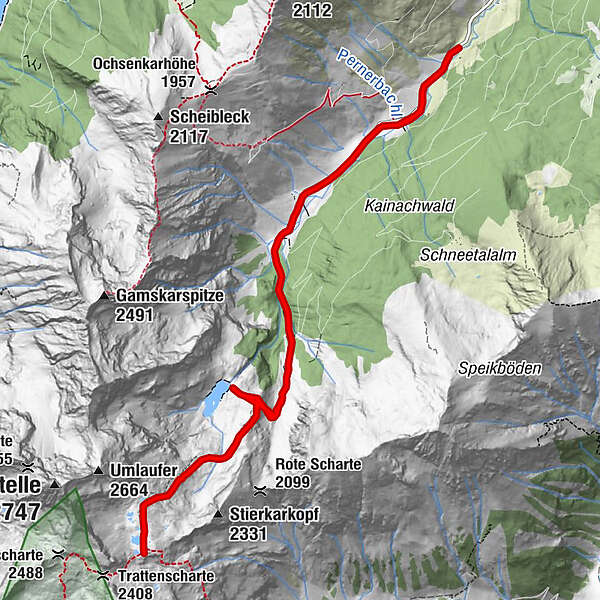
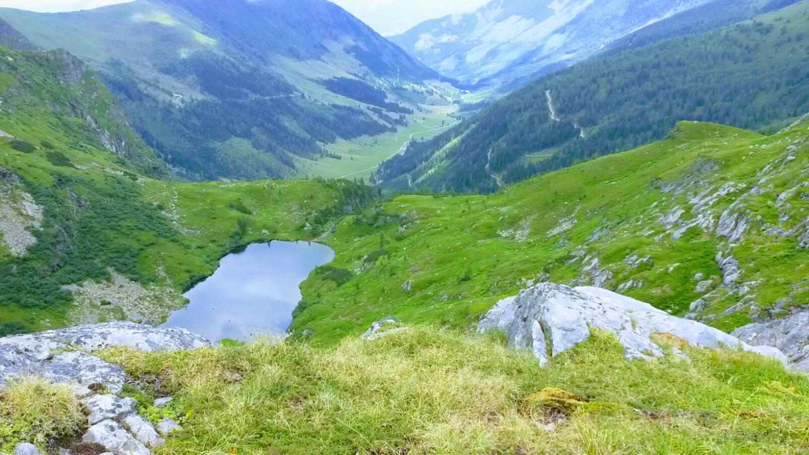
Passing rustic alpine pastures, we climb up to the Stierkarsee, which is embedded in a valley basin and offers a view of the Hohe Wildstelle.
- Sværhedsgrad
-
tung
- Evaluering
-
- Bedste sæson
-
janfebmaraprmajjunjulaugsepoktnovdec
- Højeste punkt
- 2.321 m
- Destination
-
Parkplatz Sattental
- Højdeprofil
-

- Forfatter
-
Rundvisningen Stierkarsee bruges af outdooractive.com forudsat.
GPS Downloads


Generel information
Forfriskningsstop
Insider-tip
Lovende
Flere ture i regionerne
-
Schladming - Dachstein
3001
-
Haus - Aich
1364
-
Michaelerberg-Pruggern
233


