© TVB Oststeiermark - Steiermark Tourismus

© TVB Oststeiermark - Harald Schober

© TVB Oststeiermark - Tourismusverband Oststeiermark

© TVB Oststeiermark - Christine Pollhammer

© TVB Oststeiermark - Christine Pollhammer

© TVB Oststeiermark - Christine Pollhammer

© TVB Oststeiermark - Christine Pollhammer
- Kort beskrivelse
- Sværhedsgrad
-
tung
- Evaluering
-
- Rute
-
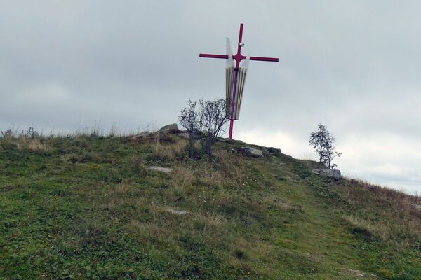
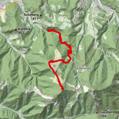
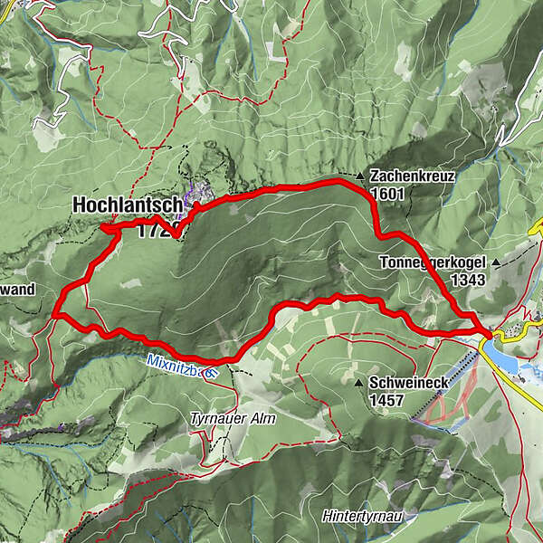
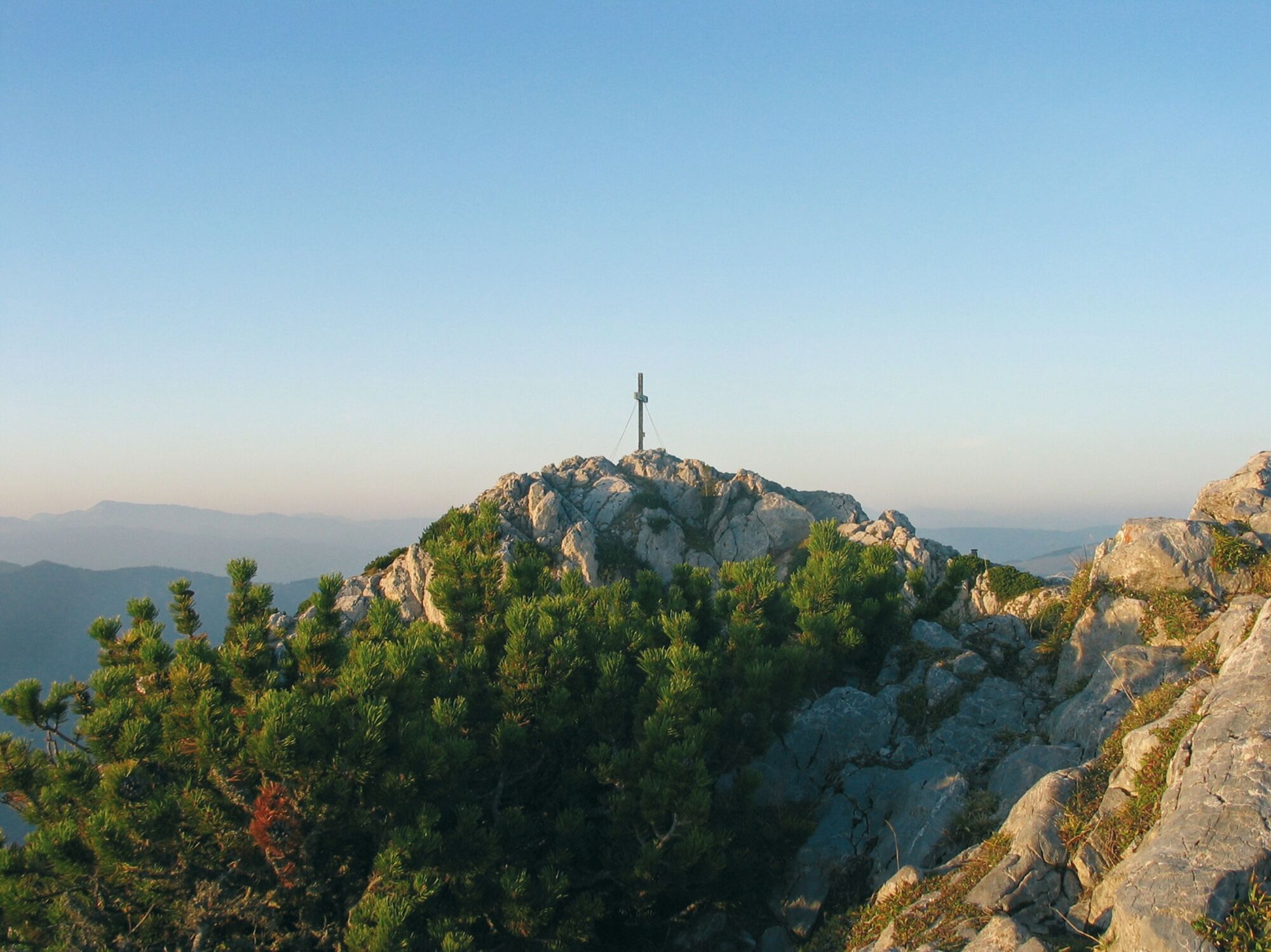
Almgasthof Teichwirt (1.200 m)0,0 kmZachenkreuz (1.601 m)2,1 kmHochlantsch (1.720 m)3,7 kmSchüsserlbrunn5,0 kmSteirischer Jokl5,1 kmZum Guten Hirten (1.206 m)6,4 kmOchsenbodenloch9,1 kmGaston-Lippitt-Hütte (1.200 m)10,9 kmAlmgasthof Teichwirt (1.200 m)11,4 km
- Bedste sæson
-
janfebmaraprmajjunjulaugsepoktnovdec
- Højeste punkt
- 1.709 m
- Destination
-
Teichalm, Hotel "Teichwirt"
- Højdeprofil
-


-

-
ForfatterRundvisningen Hochlantsch Hiking Tour bruges af outdooractive.com forudsat.
GPS Downloads


Generel information
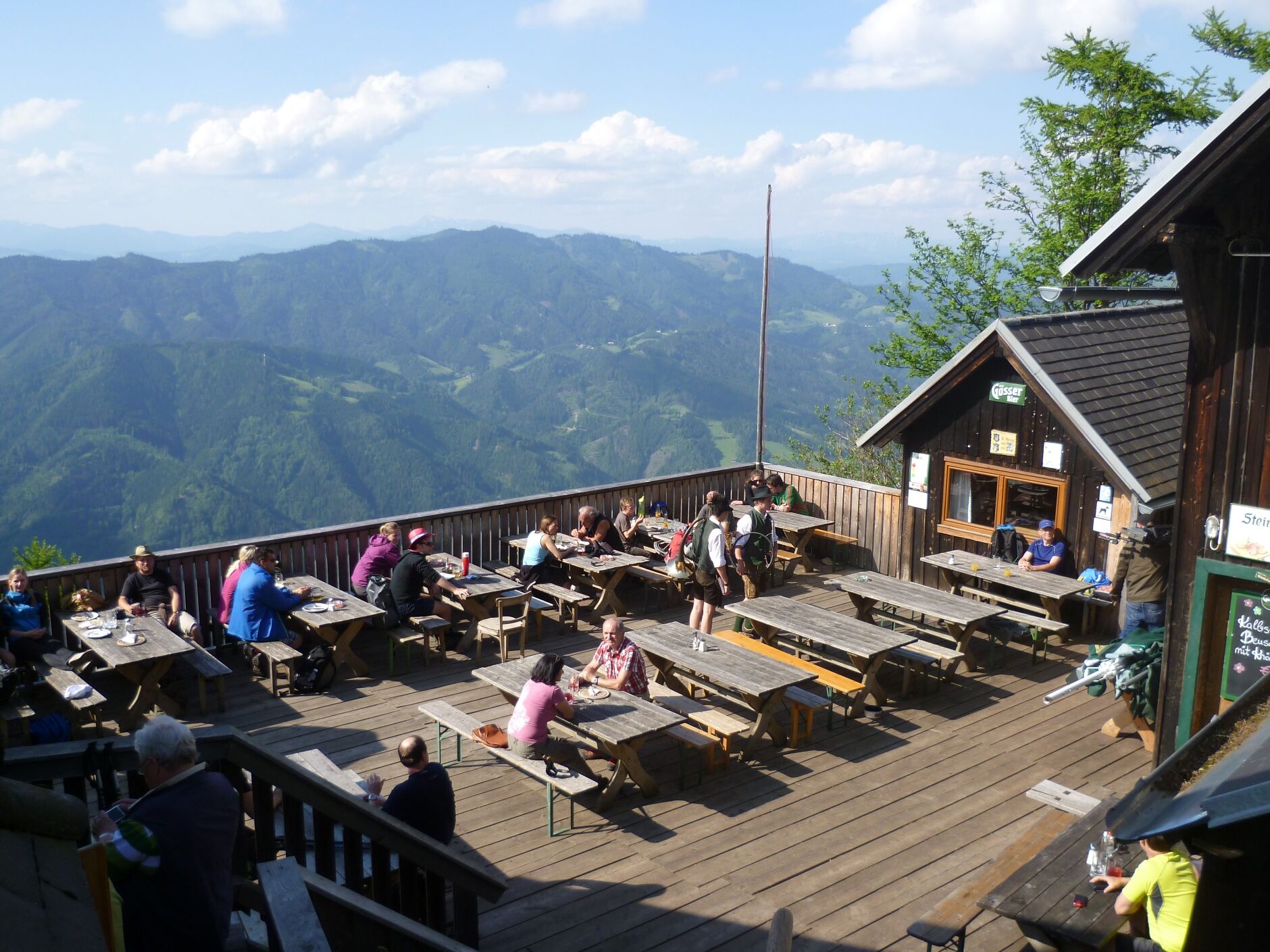
Forfriskningsstop
Lovende
Flere ture i regionerne
-
Hochsteiermark
4066
-
Naturpark Almenland
1766
-
Breitenau am Hochlantsch
438