© Weges OG

© Weges OG

© Weges OG

© Weges OG

© Weges OG

© Weges OG

© Weges OG

© Weges OG

© Weges OG


- Kort beskrivelse
-
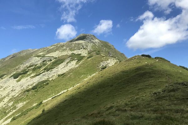
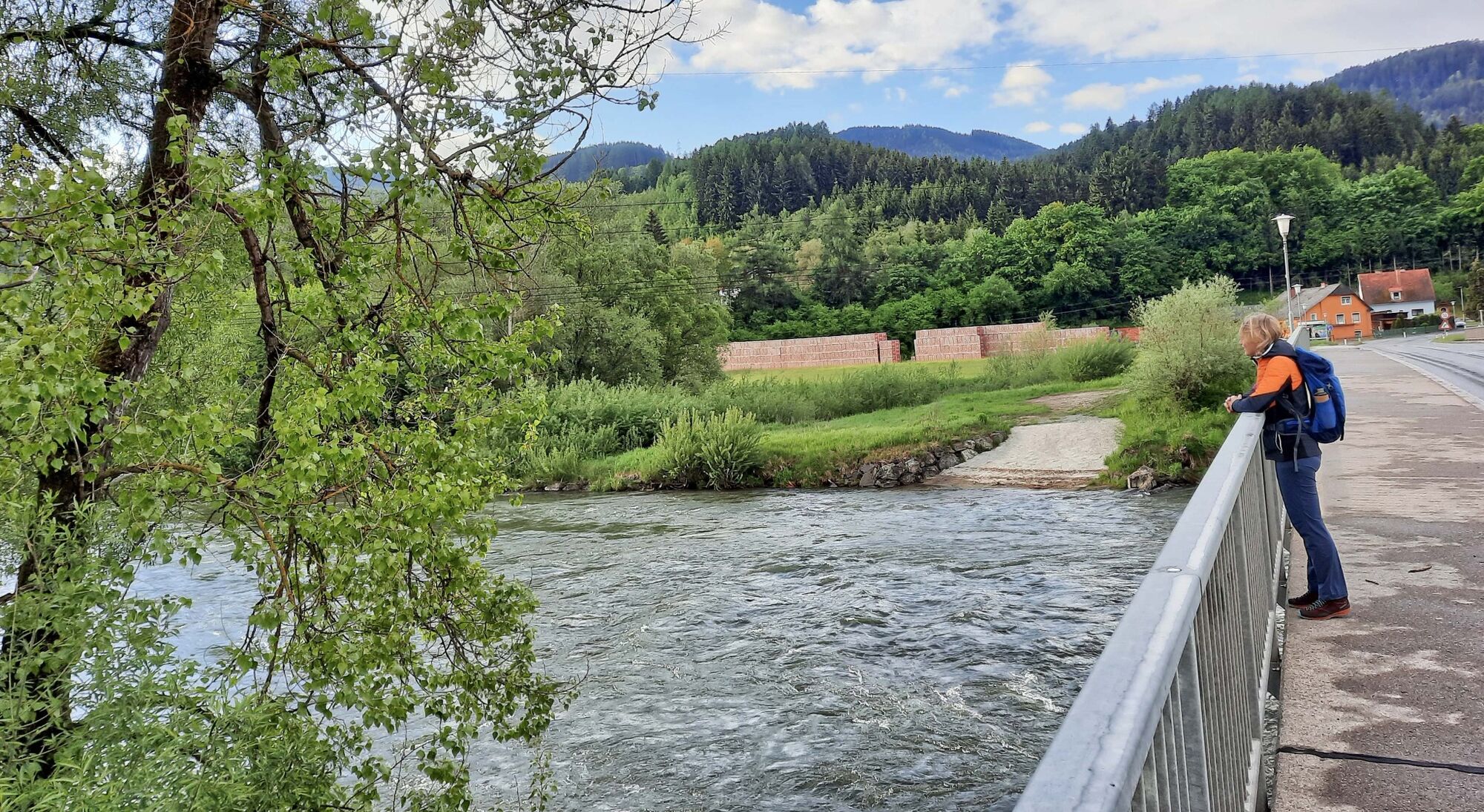
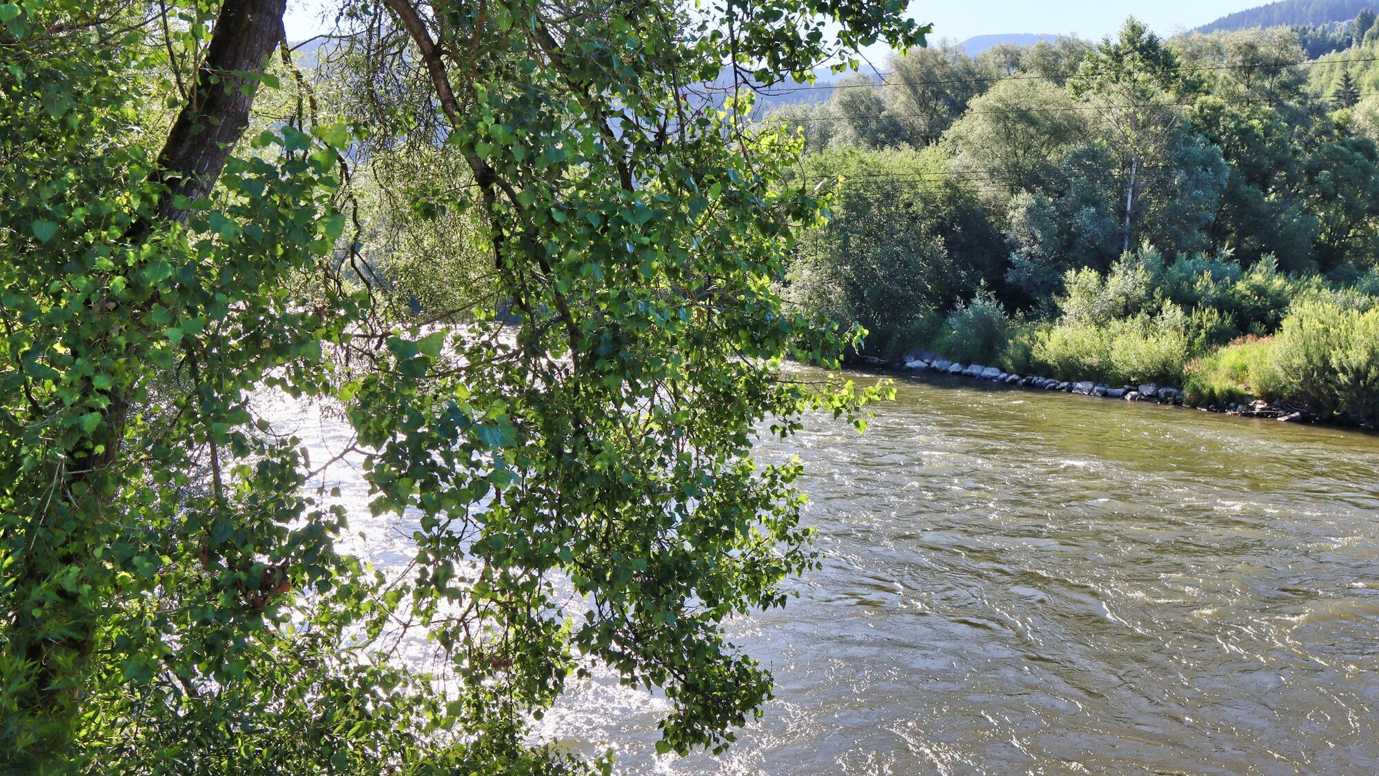
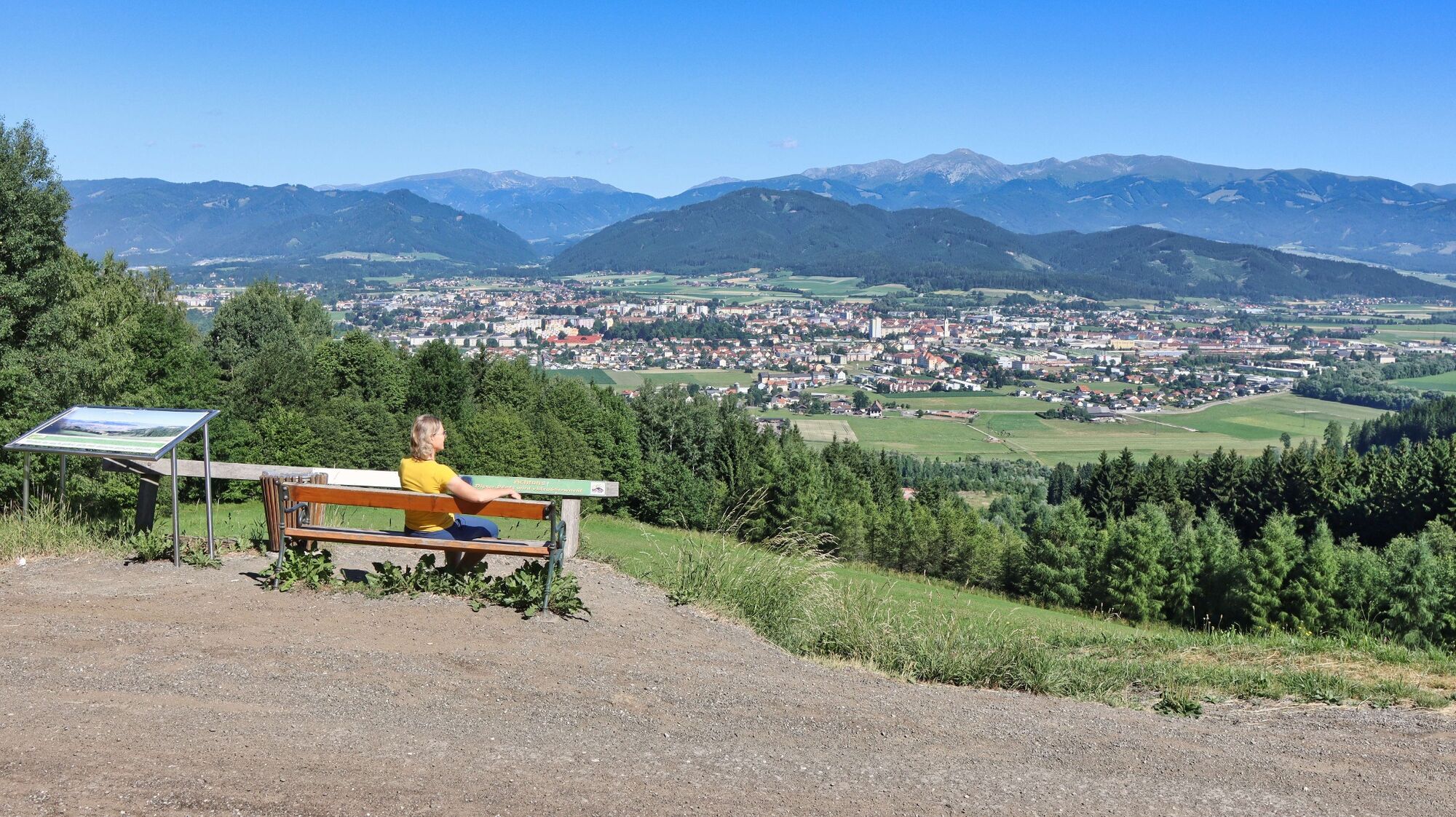
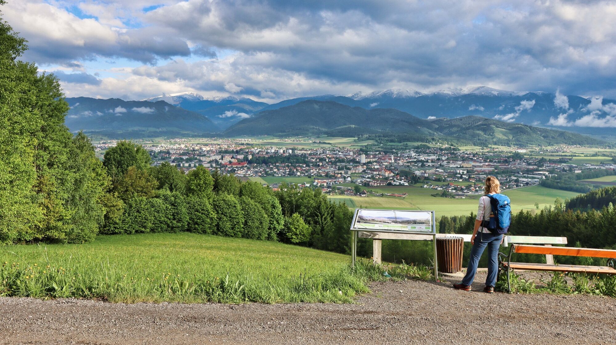
An easy circular hike with a cozy stop for refreshments and a fantastic view of Knittelfeld and the surrounding area.
- Sværhedsgrad
-
let
- Evaluering
-
- Rute
-
KnittelfeldStadtpfarrkirche Christus als König0,2 kmKirche der Siebenten-Tags-Adventisten0,6 kmGh. Mayerdorfer1,0 kmLandschach1,6 kmThalberghof5,7 kmLandschach8,3 kmGh. Mayerdorfer8,6 kmKirche der Siebenten-Tags-Adventisten9,3 kmStadtpfarrkirche Christus als König9,7 kmKnittelfeld9,8 km
- Bedste sæson
-
janfebmaraprmajjunjulaugsepoktnovdec
- Højeste punkt
- 828 m
- Destination
-
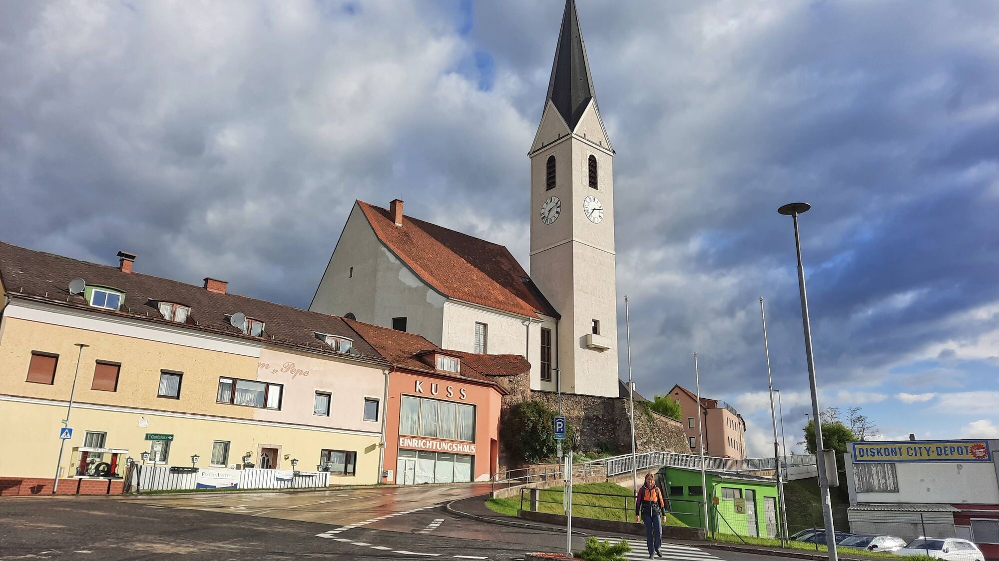
Knittelfeld main square / Knittelfeld train station
- Højdeprofil
-


- Forfatter
-
Rundvisningen Apfelberg Panorama Trail starting from Knittelfeld bruges af outdooractive.com forudsat.
GPS Downloads


Generel information
Forfriskningsstop
Lovende
Flere ture i regionerne
-
Erlebnisregion Murtal
1783
-
Steirisches Zirbenland
709
-
Knittelfeld
161