© Erlebnisregion Murtal - Manuela Machner

© Erlebnisregion Murtal - Wolfgang Spekner

© Erlebnisregion Murtal - Wolfgang Speckner

© Erlebnisregion Murtal - Wolfgang Spekner

© Erlebnisregion Murtal - Wolfgang Spekner

© Weges OG

© Weges OG

© Weges OG

- Kort beskrivelse
-
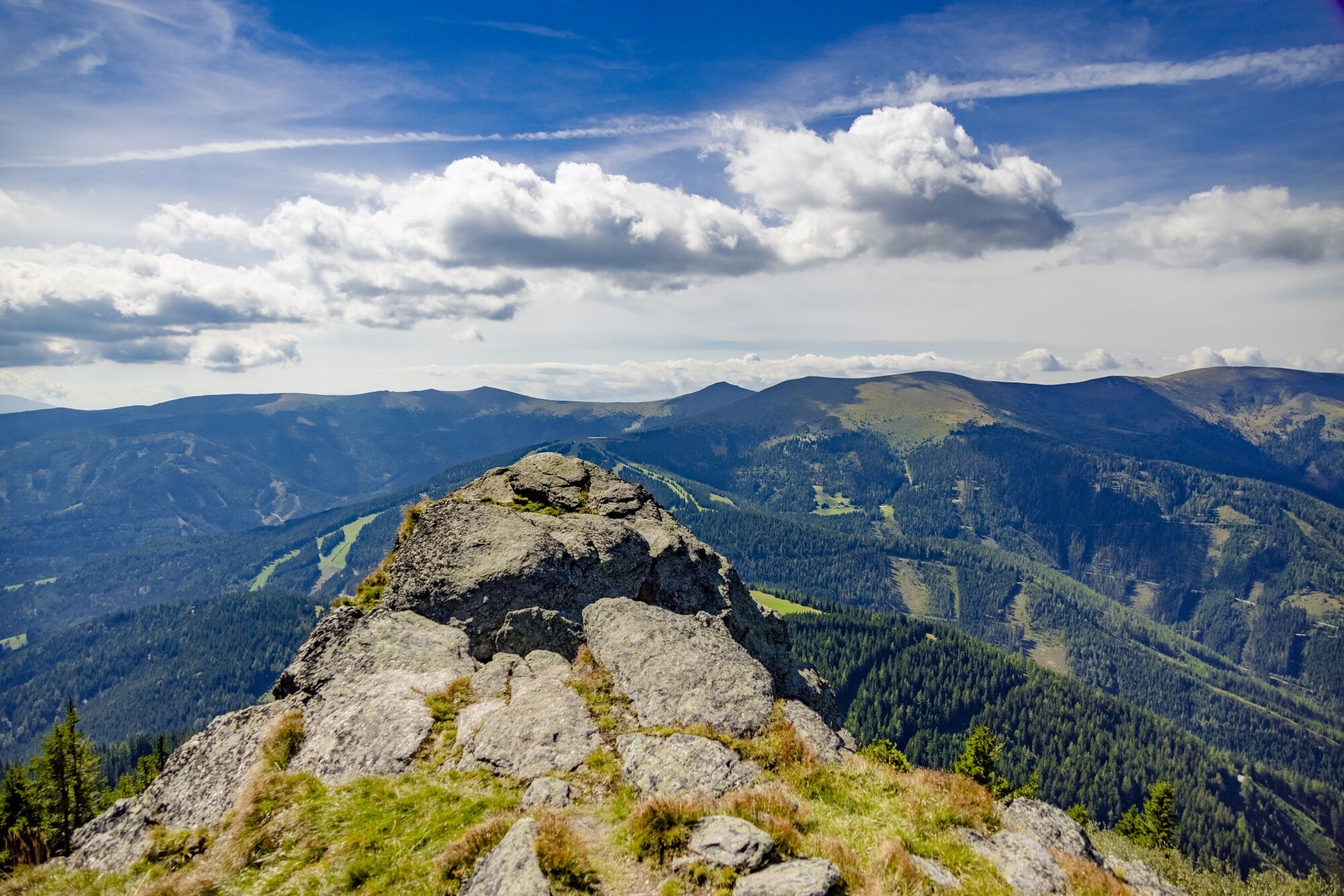
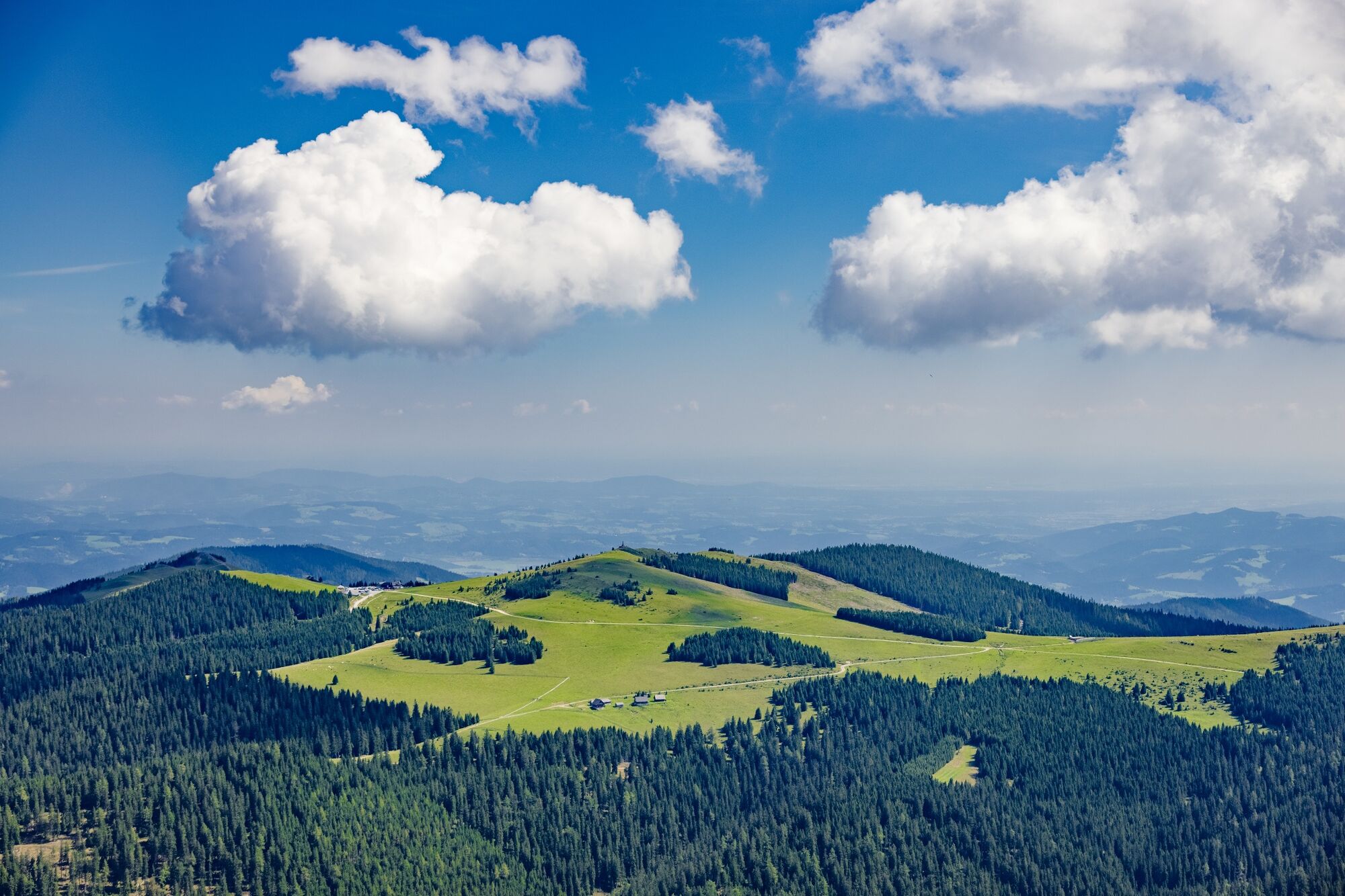
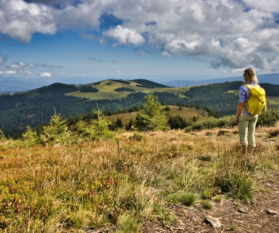
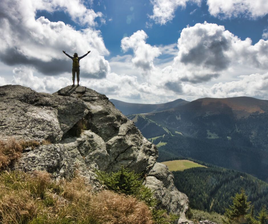
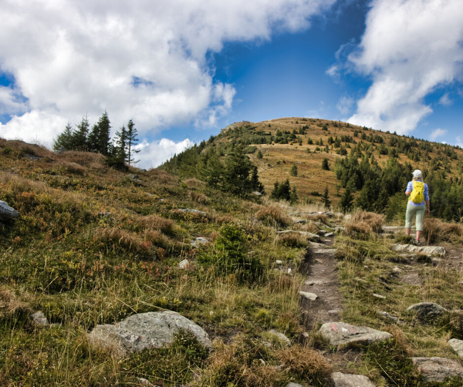
A hike in the heart of the Styrian Randgebirge.
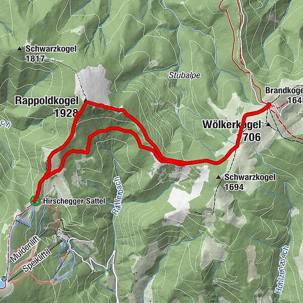
We hike from the parking lot of the Alte Almhaus along a forest path to the "Gerti Törl", where the hiking trails divide. Now we keep to the right and follow the marked hiking trail 505 B to climb 300 meters uphill to the summit of the Rappoldkogel, 1928m. The somewhat steeper descent leads us directly to the Salzstiegelhaus. The way back is flatter and leads along the forest path (hiking trail 505) back to the Alte Almhaus.
- Sværhedsgrad
-
medium
- Evaluering
-
- Rute
-
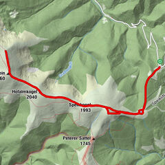
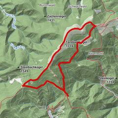
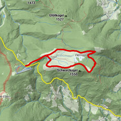
Altes Almhaus0,0 km15801,9 kmRappoldkogel (1.928 m)4,2 kmSalzstiegelhaus6,3 kmHirschegger Sattel6,3 km158010,1 kmAltes Almhaus12,0 km
- Bedste sæson
-
janfebmaraprmajjunjulaugsepoktnovdec
- Højeste punkt
- 1.914 m
- Destination
-
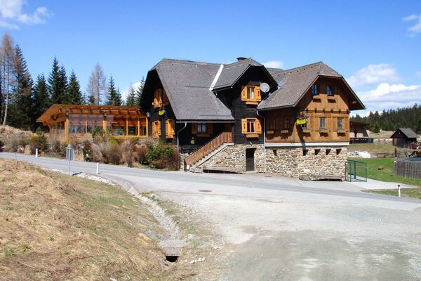
Altes Almhaus
- Højdeprofil
-


-

-
ForfatterRundvisningen Rappoldkogel bruges af outdooractive.com forudsat.
GPS Downloads


Generel information
Forfriskningsstop
Lovende
Flere ture i regionerne