

© Oststeiermark Tourismus - © Günther Steininger

© Oststeiermark Tourismus - WEGES WEGES

© WEGES - WEGES WEGES

© WEGES - WEGES


- Kort beskrivelse
-
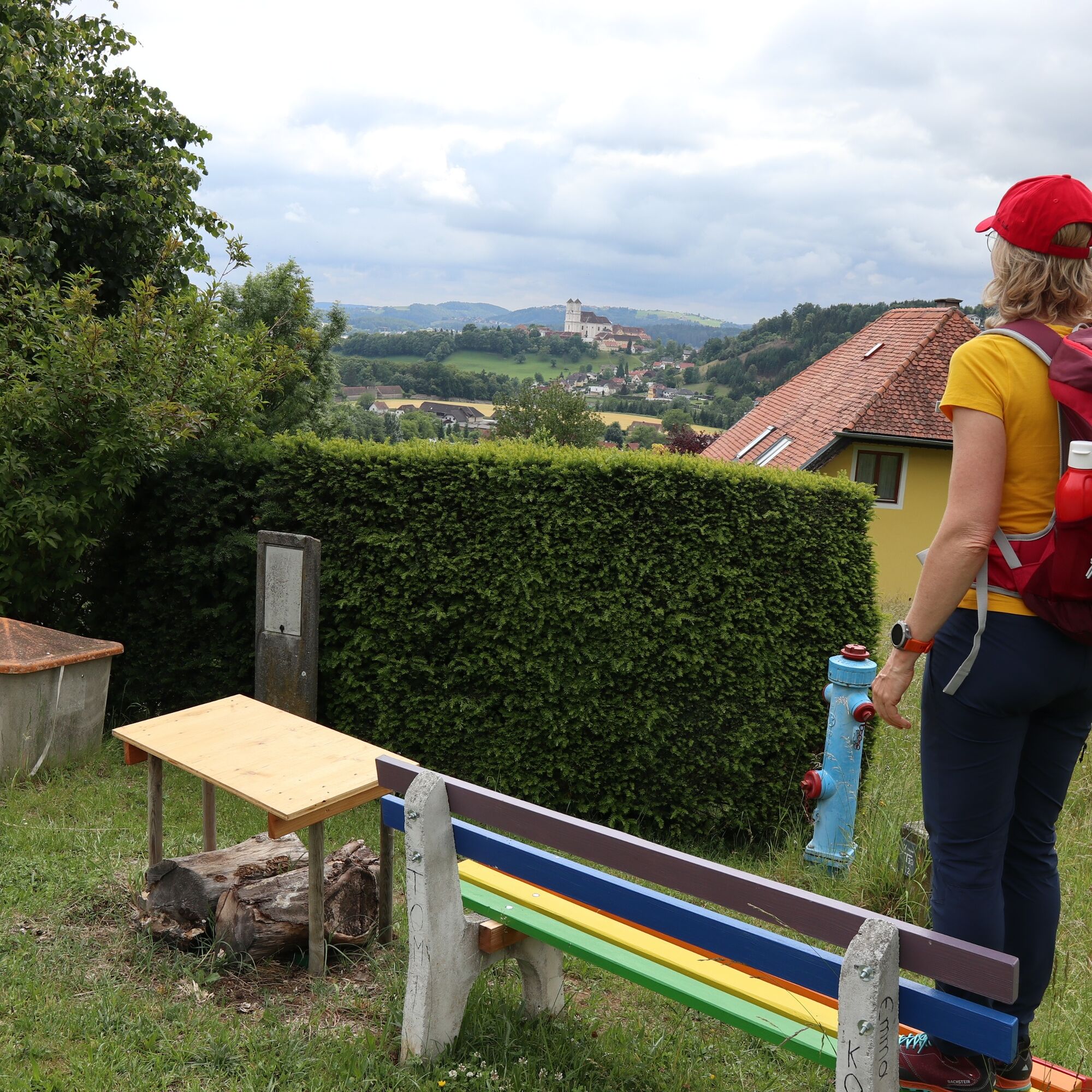
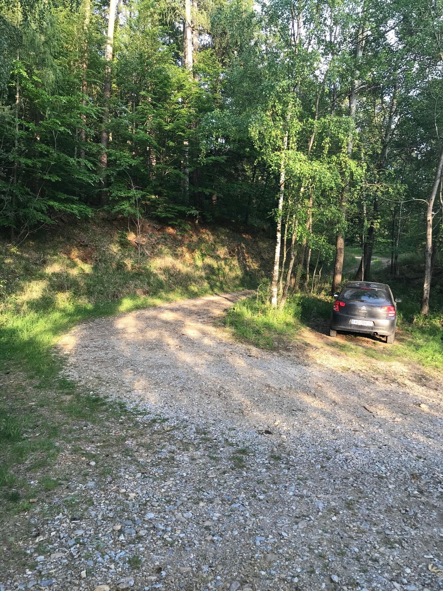
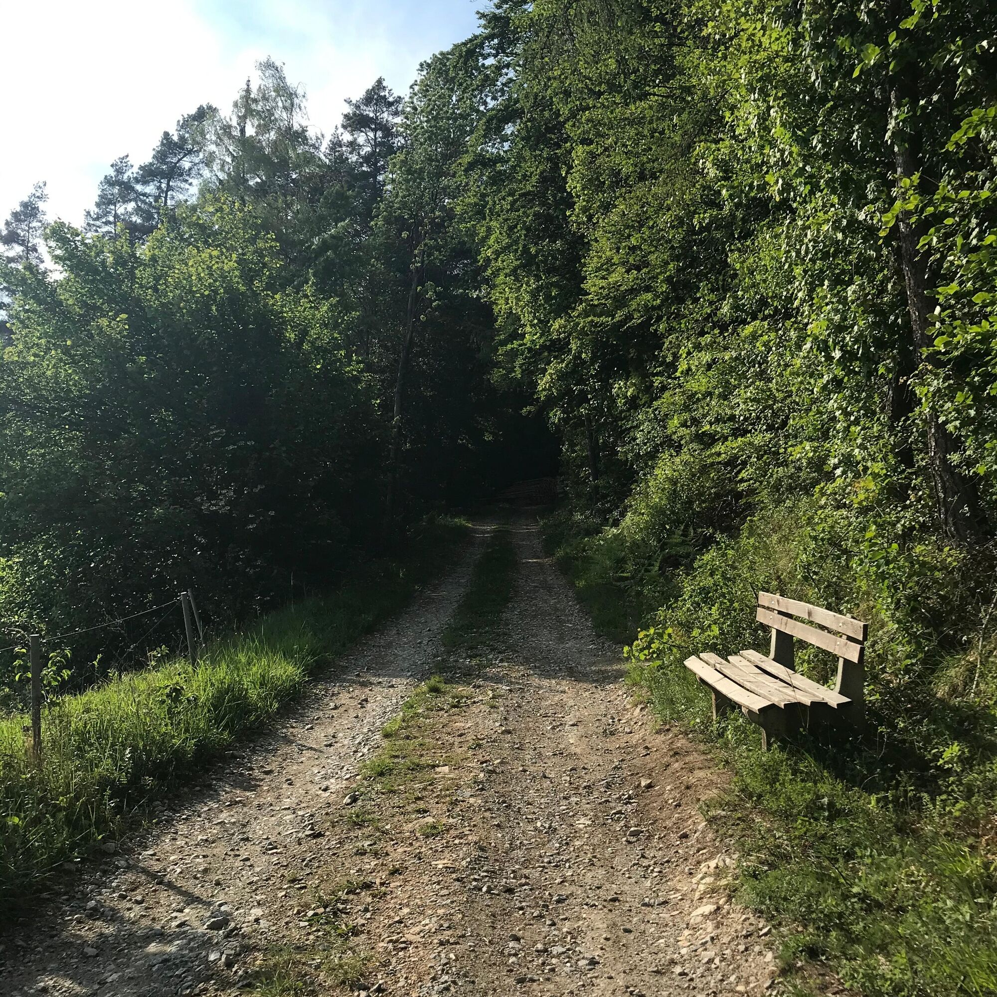
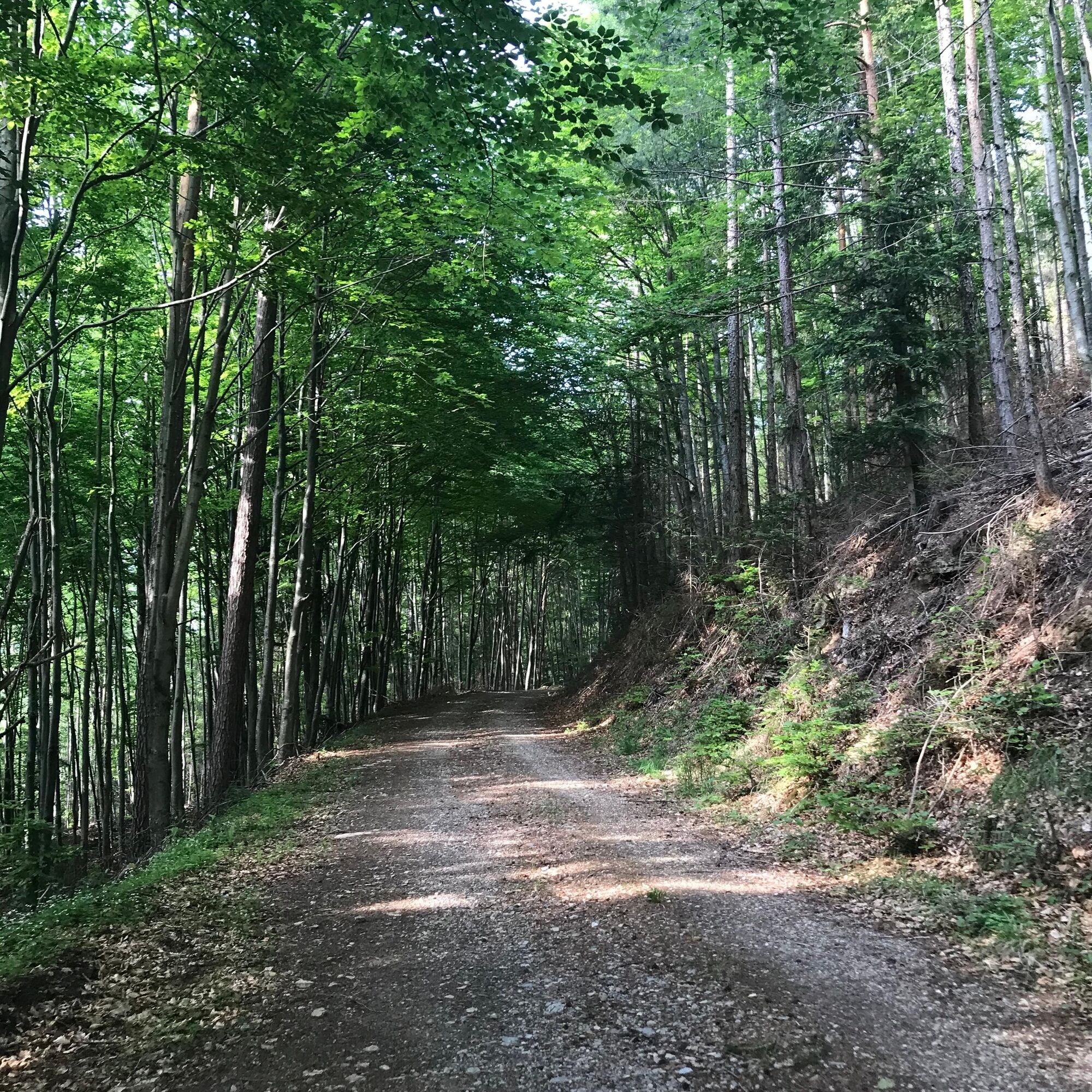
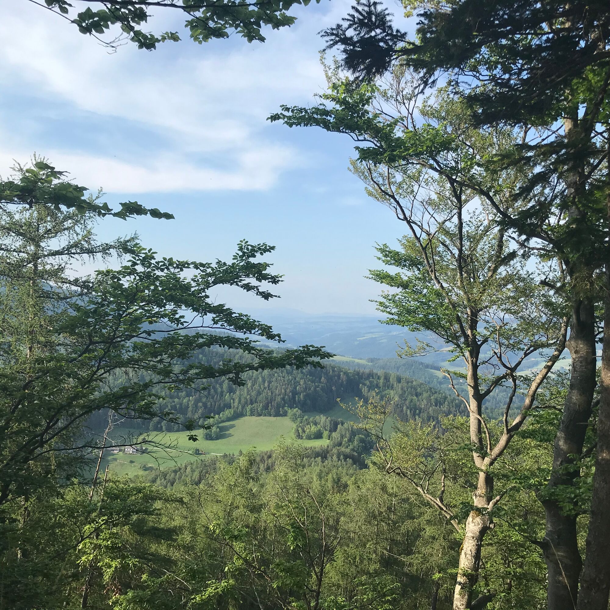
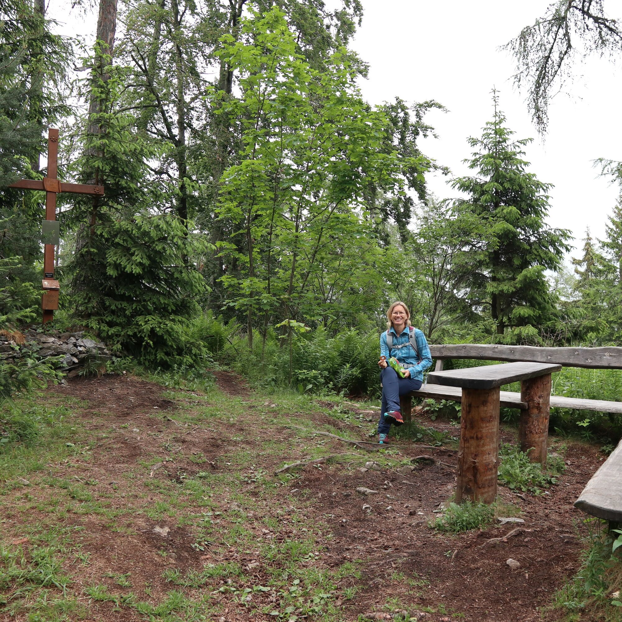
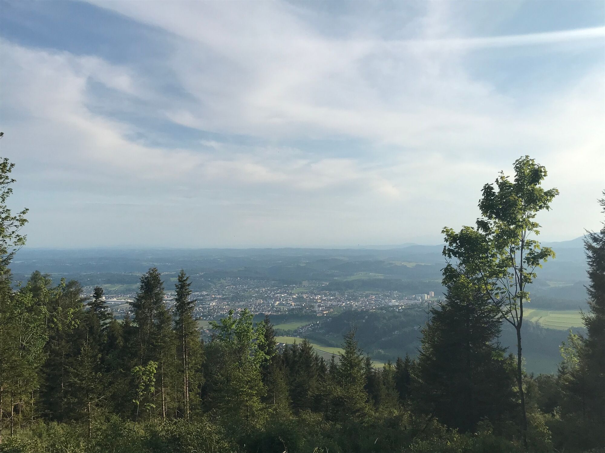
The hike leads from the town of Weiz along beautiful forest paths to the Raaser summit cross and back again.
- Sværhedsgrad
-
medium
- Evaluering
-
- Rute
-
Taborkirche hl. Thomas von CanterburyWeiz0,1 kmRadmannsdorf0,9 kmBasilika am Weizberg1,6 kmSchlosstaverne Pichler2,2 kmOberfladnitz-Thannhausen2,4 kmDorfkreuz Oberfladnitz2,5 kmJohanneskapelle2,5 kmRaas4,9 kmRaas (1.009 m)9,3 kmRaas13,7 kmJohanneskapelle15,8 kmOberfladnitz-Thannhausen16,2 kmDorfkreuz Oberfladnitz16,2 kmSchlosstaverne Pichler16,4 kmBasilika am Weizberg17,0 kmRadmannsdorf17,8 kmWeiz18,7 kmTaborkirche hl. Thomas von Canterbury18,7 km
- Bedste sæson
-
janfebmaraprmajjunjulaugsepoktnovdec
- Højeste punkt
- 999 m
- Destination
-
Weiz city
- Højdeprofil
-


-

-
ForfatterRundvisningen From Weiz to the Raas summit bruges af outdooractive.com forudsat.
GPS Downloads


Generel information
Lovende
Flere ture i regionerne
-
Oststeiermark
2126
-
Weiz/St. Ruprecht an der Raab
1521
-
Thannhausen
325


