© Tourismusverband Region Murau - Tom Lamm

© Tourismusverband Region Murau - Tom Lamm

© Tourismusverband Region Murau - Tom Lamm

© Tourismusverband Region Murau - Tom Lamm

- Kort beskrivelse
-
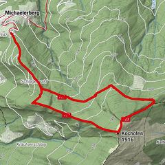
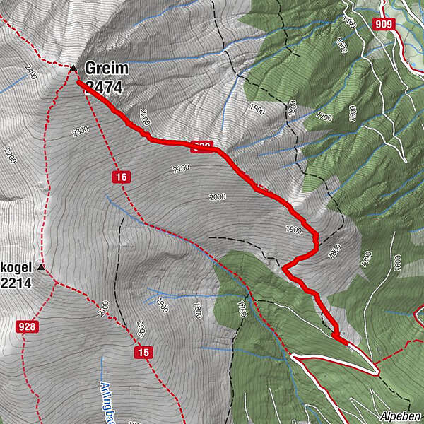
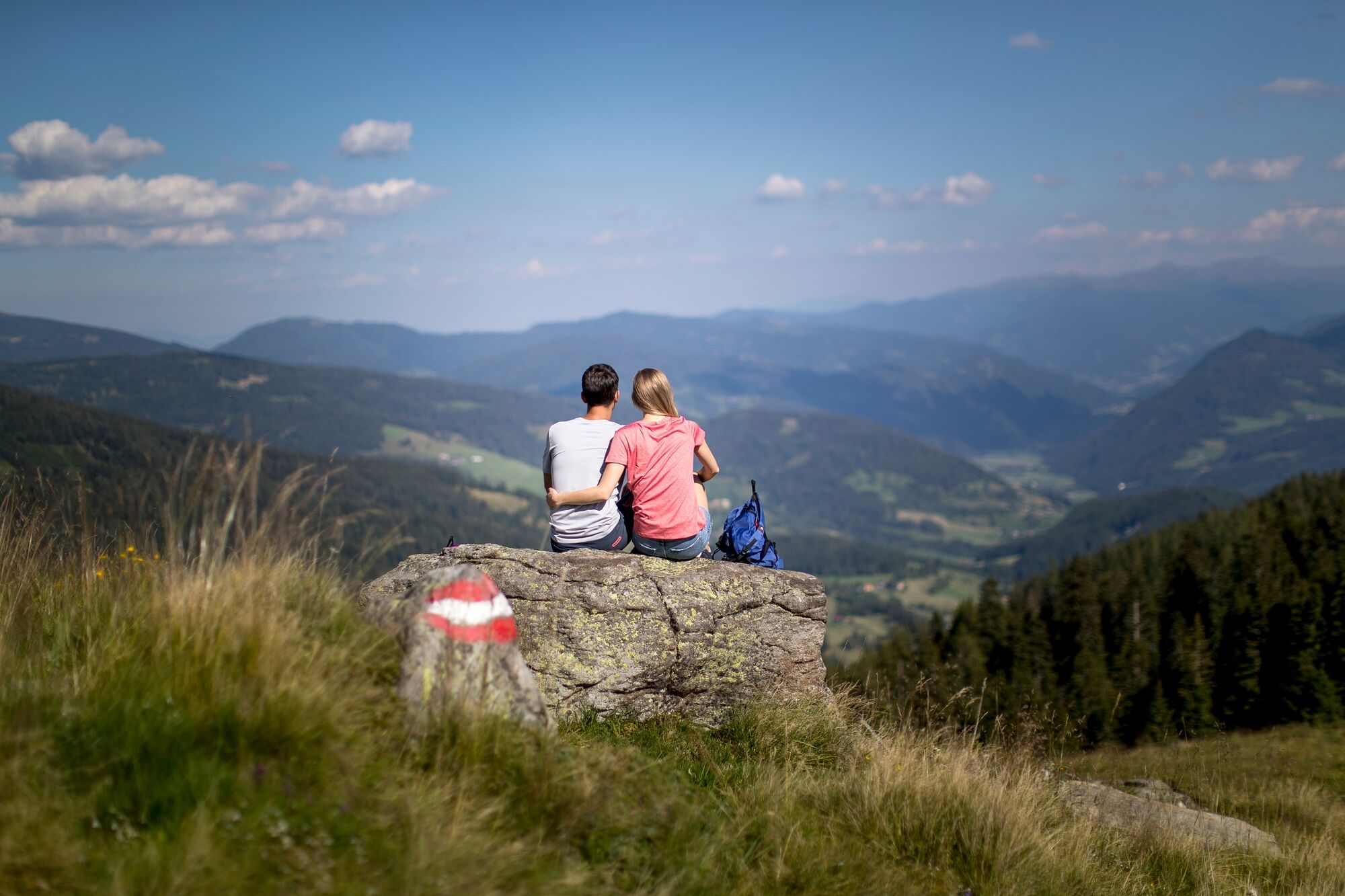
Moderately difficult hike with picturesque landscape backdrops and a not too difficult climb.
- Sværhedsgrad
-
medium
- Evaluering
-
- Rute
-
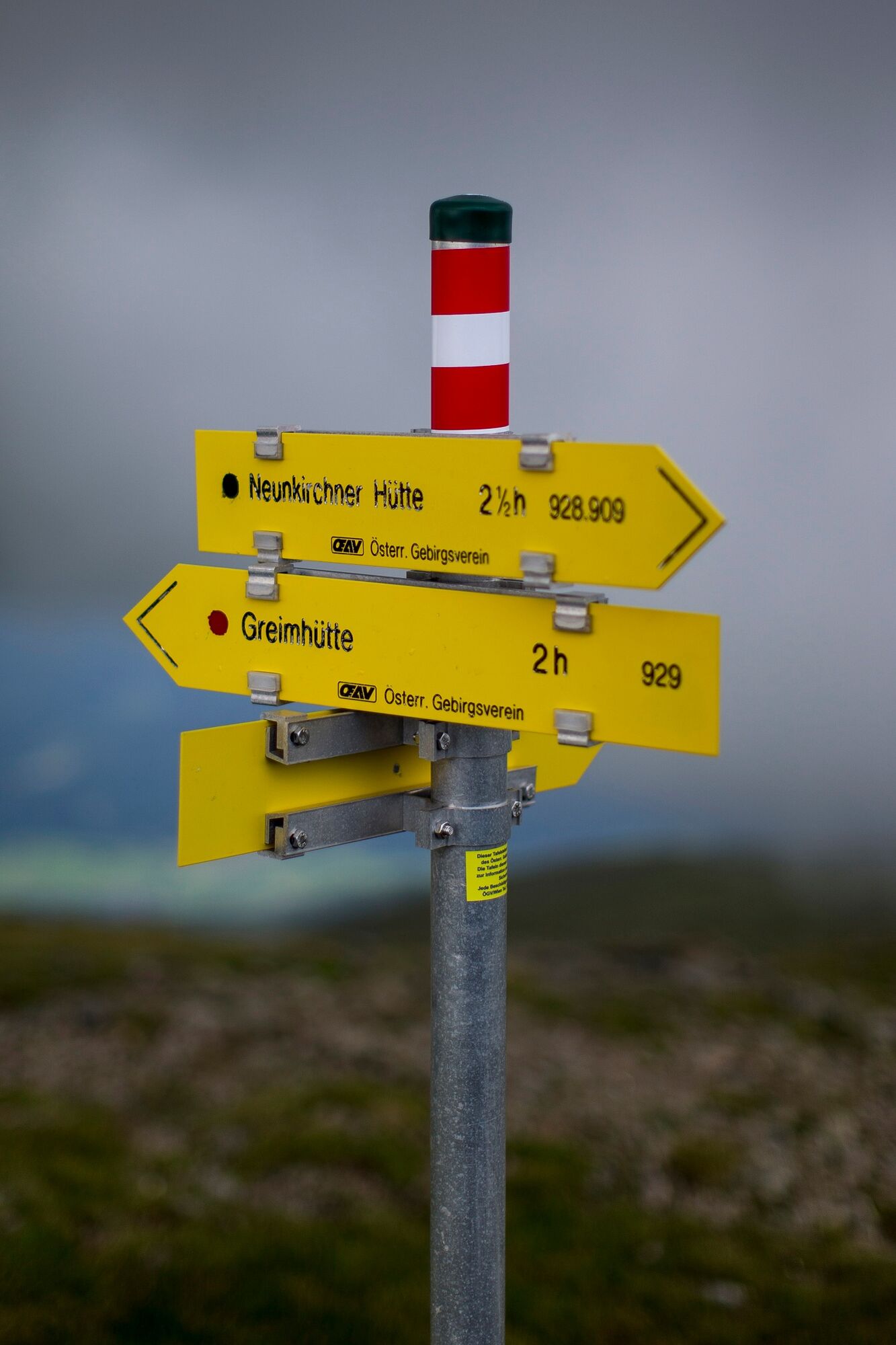
Greim (2.474 m)2,9 km
- Bedste sæson
-
janfebmaraprmajjunjulaugsepoktnovdec
- Højeste punkt
- 2.427 m
- Destination
-
Greim
- Højdeprofil
-


- Forfatter
-
Rundvisningen Greim bruges af outdooractive.com forudsat.
GPS Downloads


Generel information
Forfriskningsstop
Lovende
Flere ture i regionerne