© Tourismusverband Region Murau - René Hochegger

© Tourismusverband Region Murau - marygoodfoto

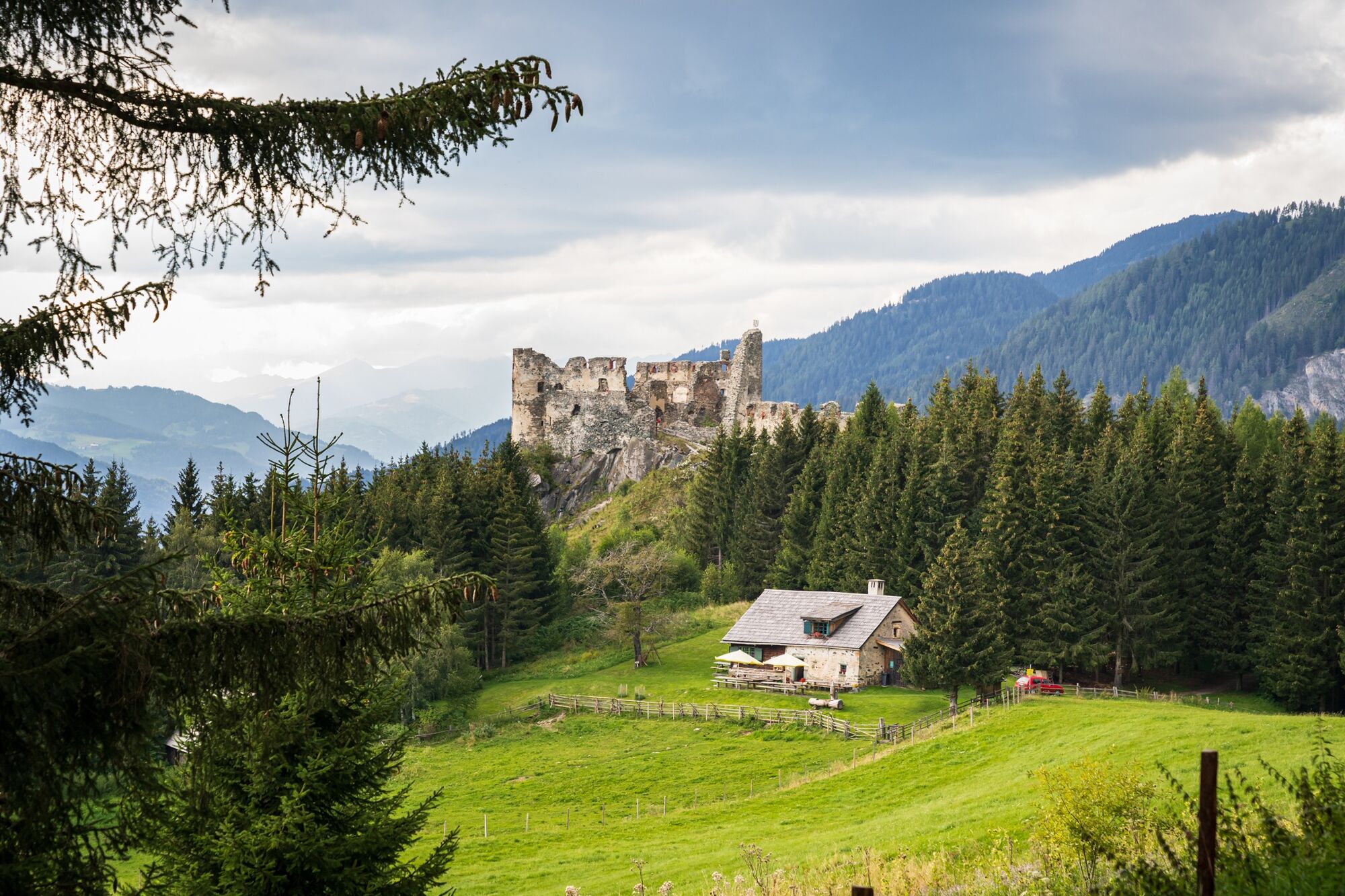
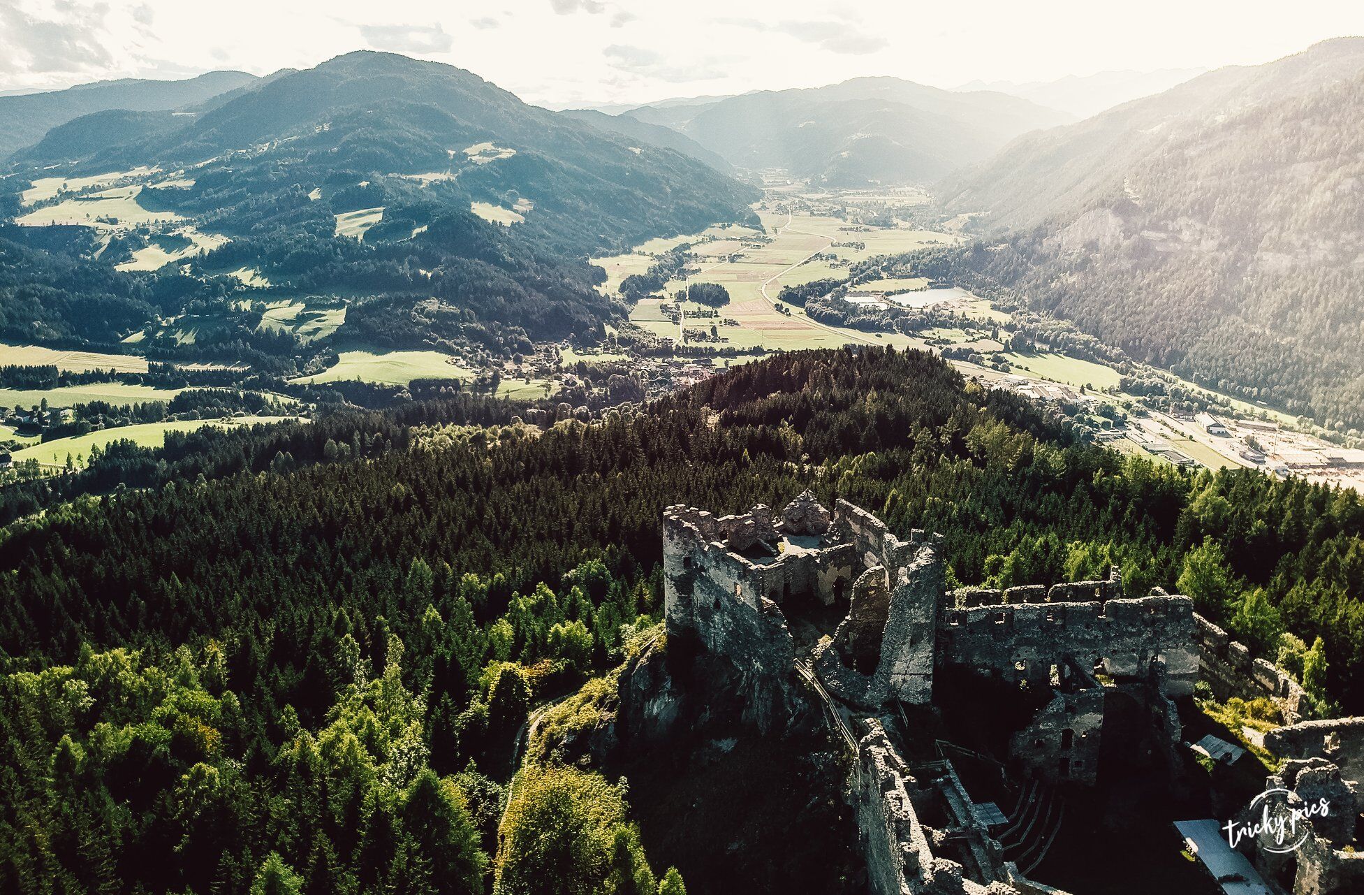
© Tourismusverband Region Murau - tricky.pics

- Kort beskrivelse
-
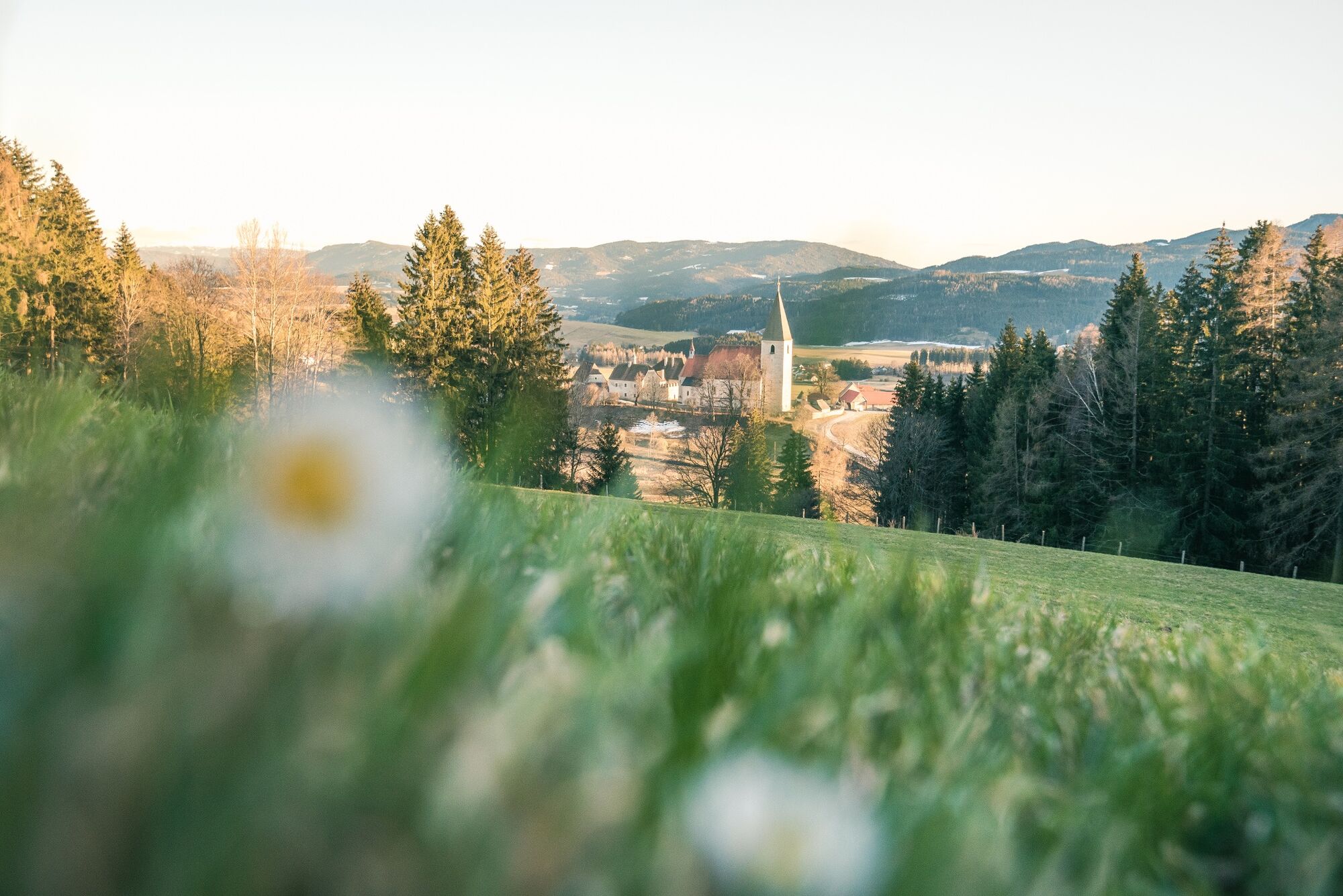
A hike with medieval highlights and fantastic views of the Murau region!
- Sværhedsgrad
-
medium
- Evaluering
-
- Rute
-
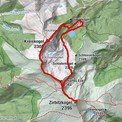
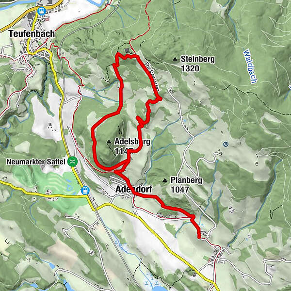
AdelsbergSteinschlosshütte2,8 kmLambach4,8 kmAdelsberg6,1 kmAdendorf7,1 kmKirchweg8,0 kmMariahof8,8 kmKirchenwirt8,8 km
- Bedste sæson
-
janfebmaraprmajjunjulaugsepoktnovdec
- Højeste punkt
- 1.158 m
- Destination
-
Adelsberg
- Højdeprofil
-

- Forfatter
-
Rundvisningen Flintlock circular hiking trail bruges af outdooractive.com forudsat.
GPS Downloads


Generel information
Forfriskningsstop
Kulturel/Historisk
Insider-tip
Lovende
Flere ture i regionerne