

© Ausseerland - Theresa Schwaiger

© Ausseerland - Theresa Schwaiger

© Ausseerland - Michaela Geistberger

© Ausseerland - Theresa Schwaiger

© Ausseerland - Michaela Geistberger

- Kort beskrivelse
-
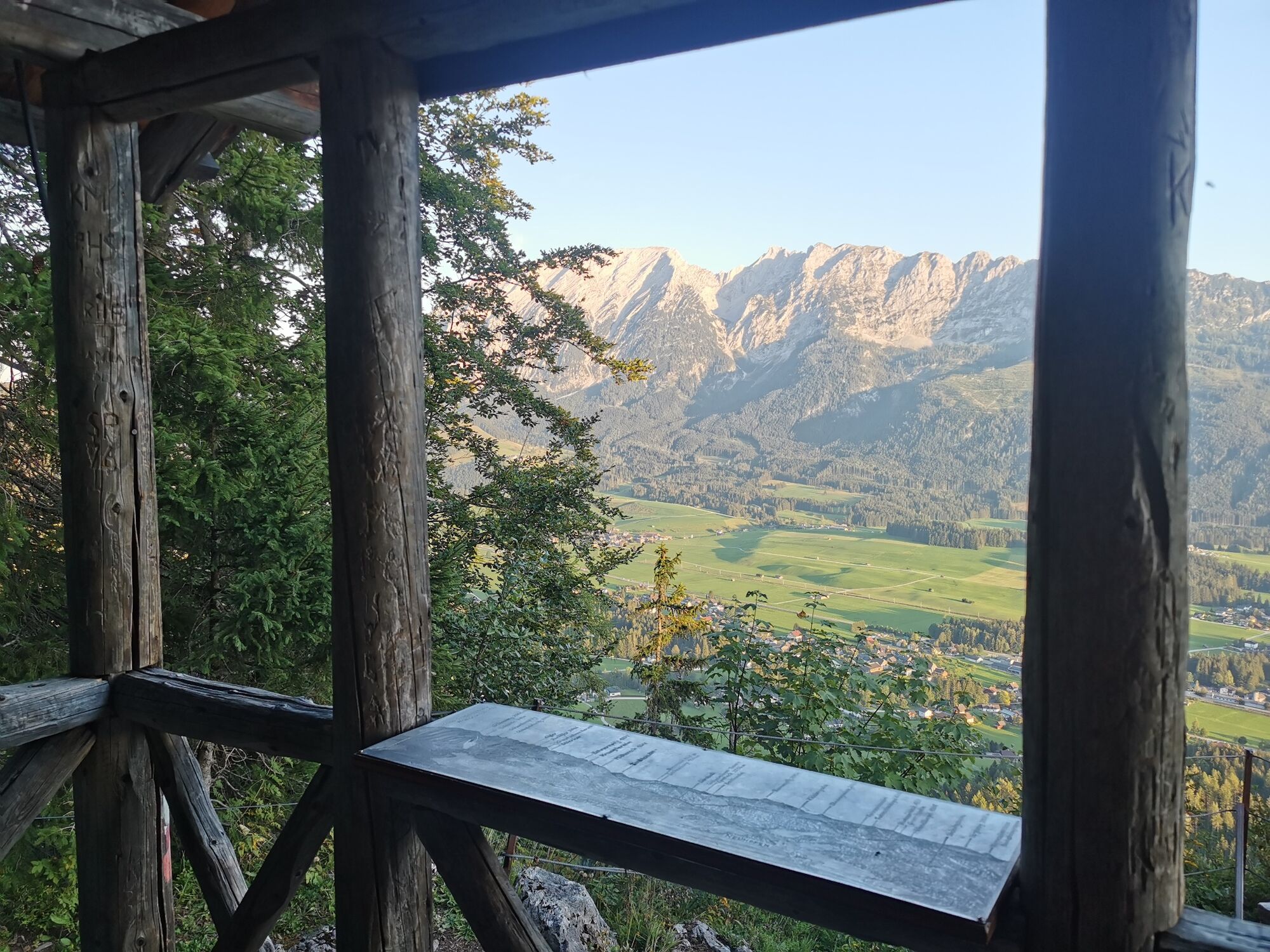
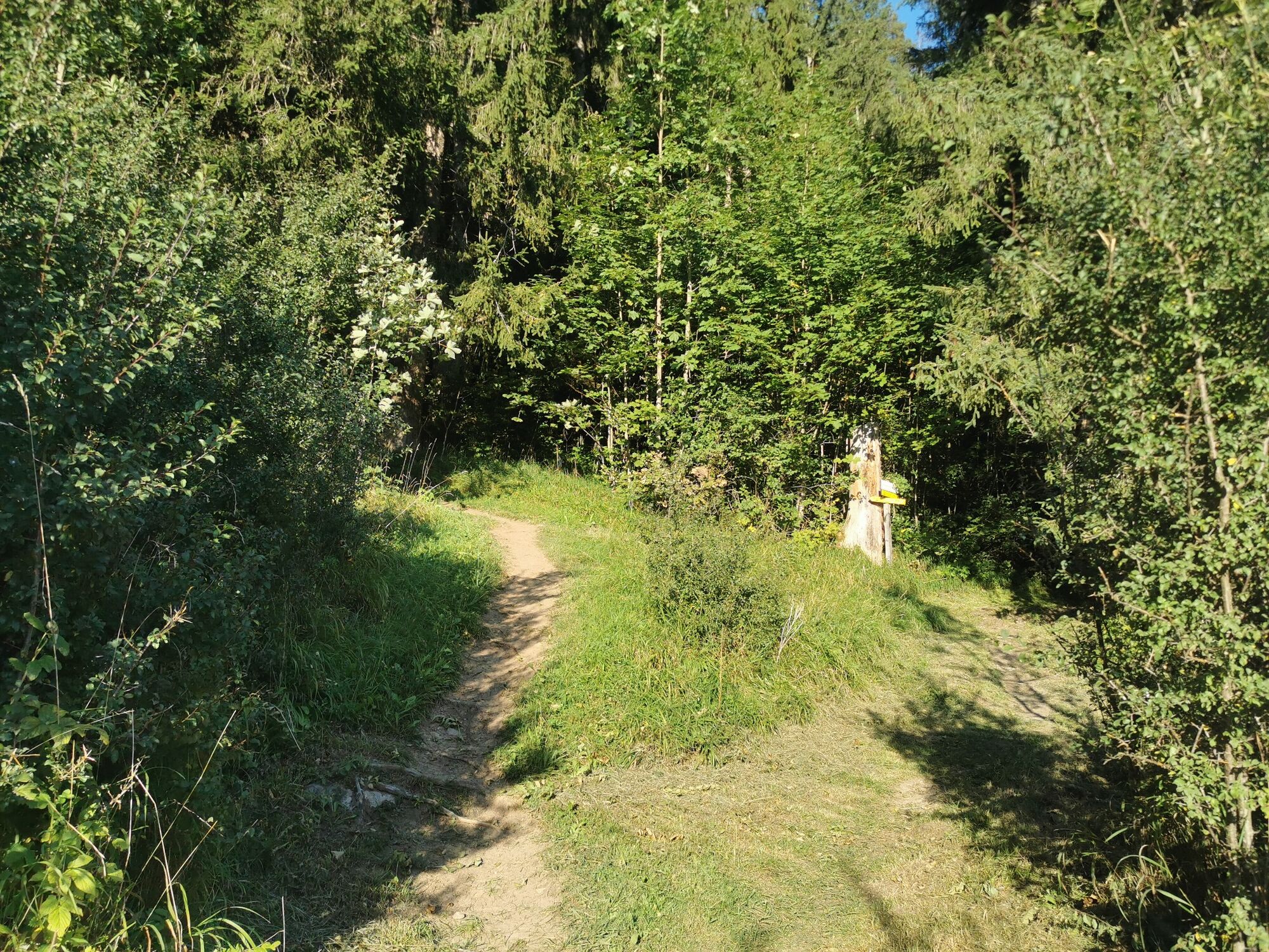
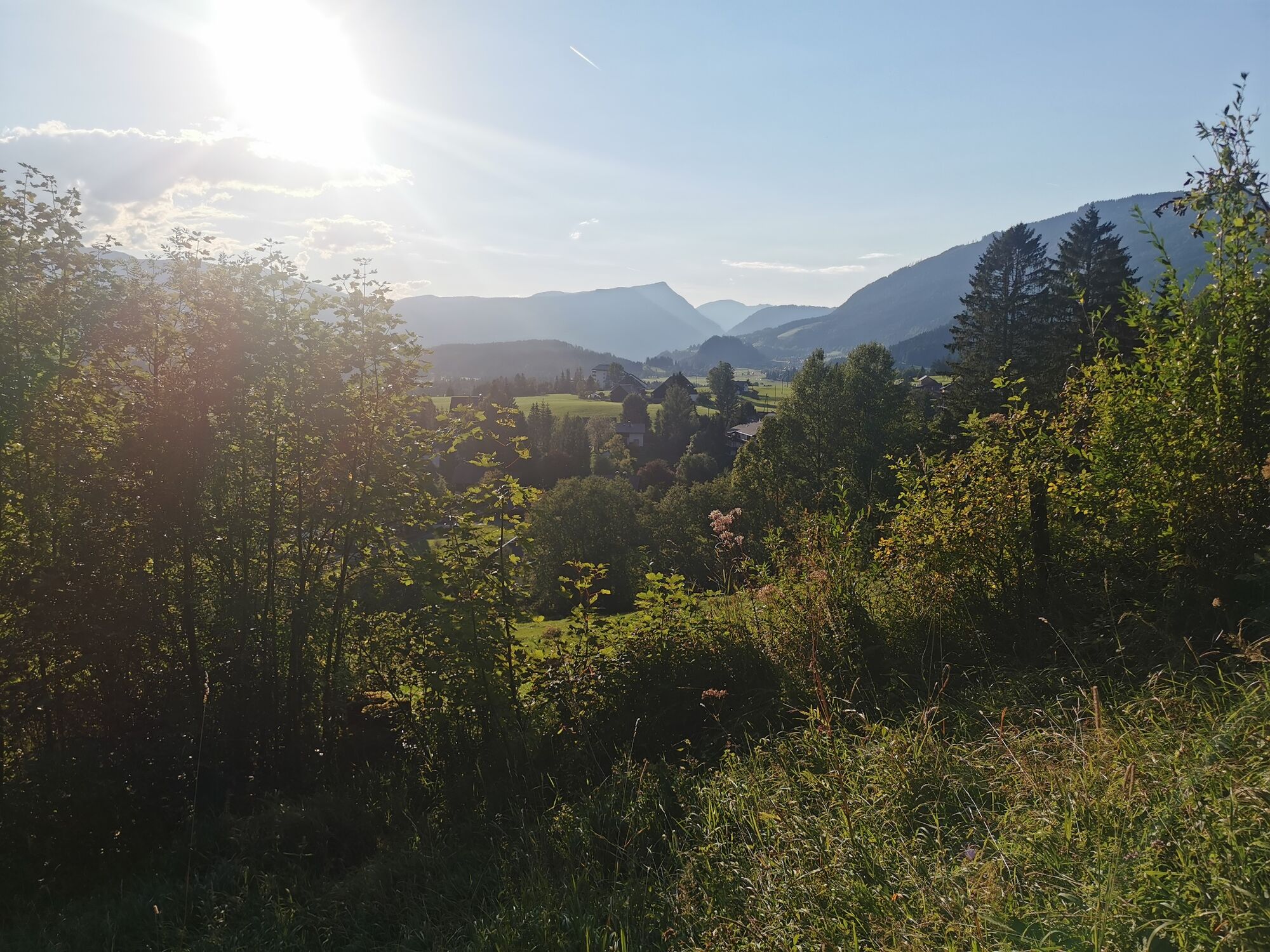
A high-altitude hike with steep ascents and descents through shady forest with beautiful viewpoints.
- Sværhedsgrad
-
medium
- Evaluering
-
- Rute
-
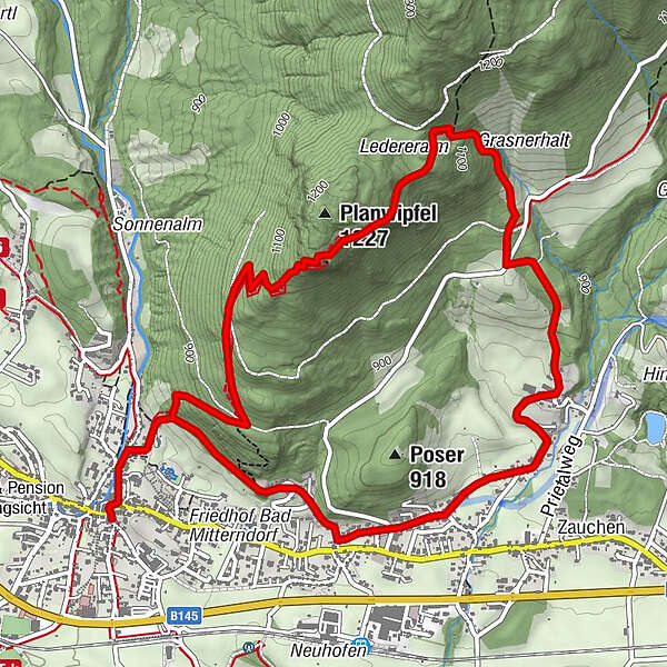
Pfarrkirche zur hl. Margareta0,0 kmBad Mitterndorf0,1 kmMuskatnuss5,3 kmThörl5,5 kmPfarrkirche zur hl. Margareta7,0 kmBad Mitterndorf7,0 km
- Bedste sæson
-
janfebmaraprmajjunjulaugsepoktnovdec
- Højeste punkt
- 1.182 m
- Destination
-
Bad Mitterndorf town center
- Højdeprofil
-


- Forfatter
-
Rundvisningen Hike to the Simonywarte bruges af outdooractive.com forudsat.
Alle anmeldelser
Almut Demeler
05. Apr. 2024
Toller Ausblick, herrliche Waldpfade, recht steil
GPS Downloads


Generel information
Forfriskningsstop
Flere ture i regionerne
-
Ausseerland - Salzkammergut
3382
-
Gröbminger Land
1190
-
Bad Mitterndorf
290


