© Erlebnisregion Murtal - Bianca Poier

© Erlebnisregion Murtal - Markus Beren

© Erlebnisregion Murtal - Bianca Poier

© Erlebnisregion Murtal - Traude Beren

- Kort beskrivelse
-
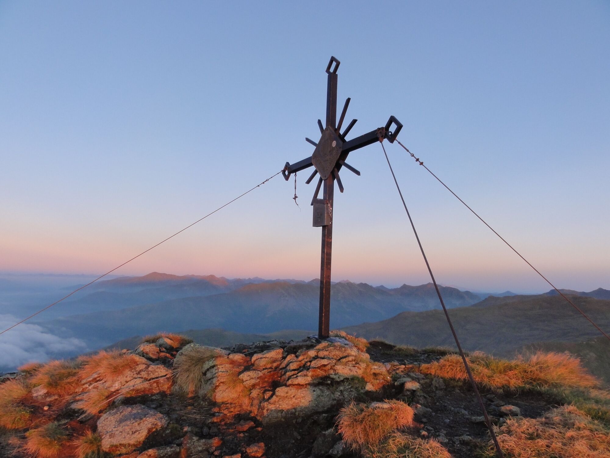
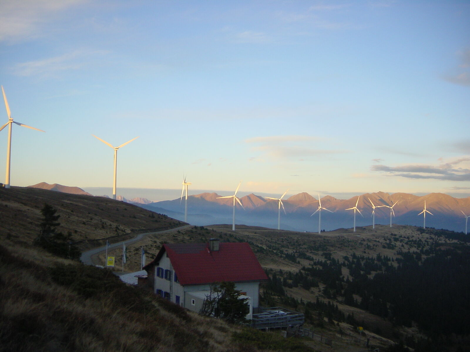
Start your hike "In harmony with nature" at the Tauernwindpark Oberzeiring.The Tauernwindpark Oberzeiring is one of the highest wind farms in Europe.For hiking enthusiasts, the wind farm is just the start of a wonderful day in the mountains.The ascent to the Schießeck offers a great experience amidst rare meadow flowers and alpine bushes. The ascent is rewarded with a breathtaking view of the Pölstal mountains.
- Sværhedsgrad
-
medium
- Evaluering
-
- Rute
-
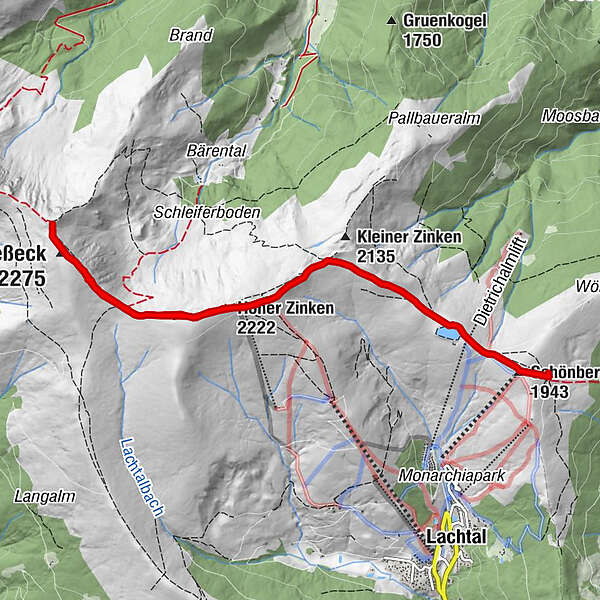
Schönberg (1.943 m)0,3 kmTanzstattkircherl0,4 kmNiederer Zinken (2.205 m)2,8 kmHoher Zinken (2.222 m)3,3 kmGrillerlucke (2.147 m)4,2 kmSchießeck (2.275 m)4,9 kmHoher Zinken (2.222 m)7,1 kmNiederer Zinken (2.205 m)7,6 kmTanzstattkircherl9,7 kmSchönberg (1.943 m)10,1 kmKlosterneuburgerhütte (1.902 m)10,4 km
- Bedste sæson
-
janfebmaraprmajjunjulaugsepoktnovdec
- Højeste punkt
- 2.262 m
- Destination
-
Schießeck
- Højdeprofil
-


-

-
ForfatterRundvisningen Schießeck from the Klosterneuburger Hütte bruges af outdooractive.com forudsat.
GPS Downloads


Generel information
Lovende
Flere ture i regionerne