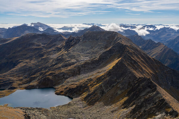
© Tourismusverband Region Murau - Tom Lamm

© Tourismusverband Region Murau - Wilfried Kaufmann

- Kort beskrivelse
-
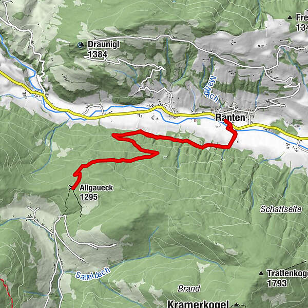
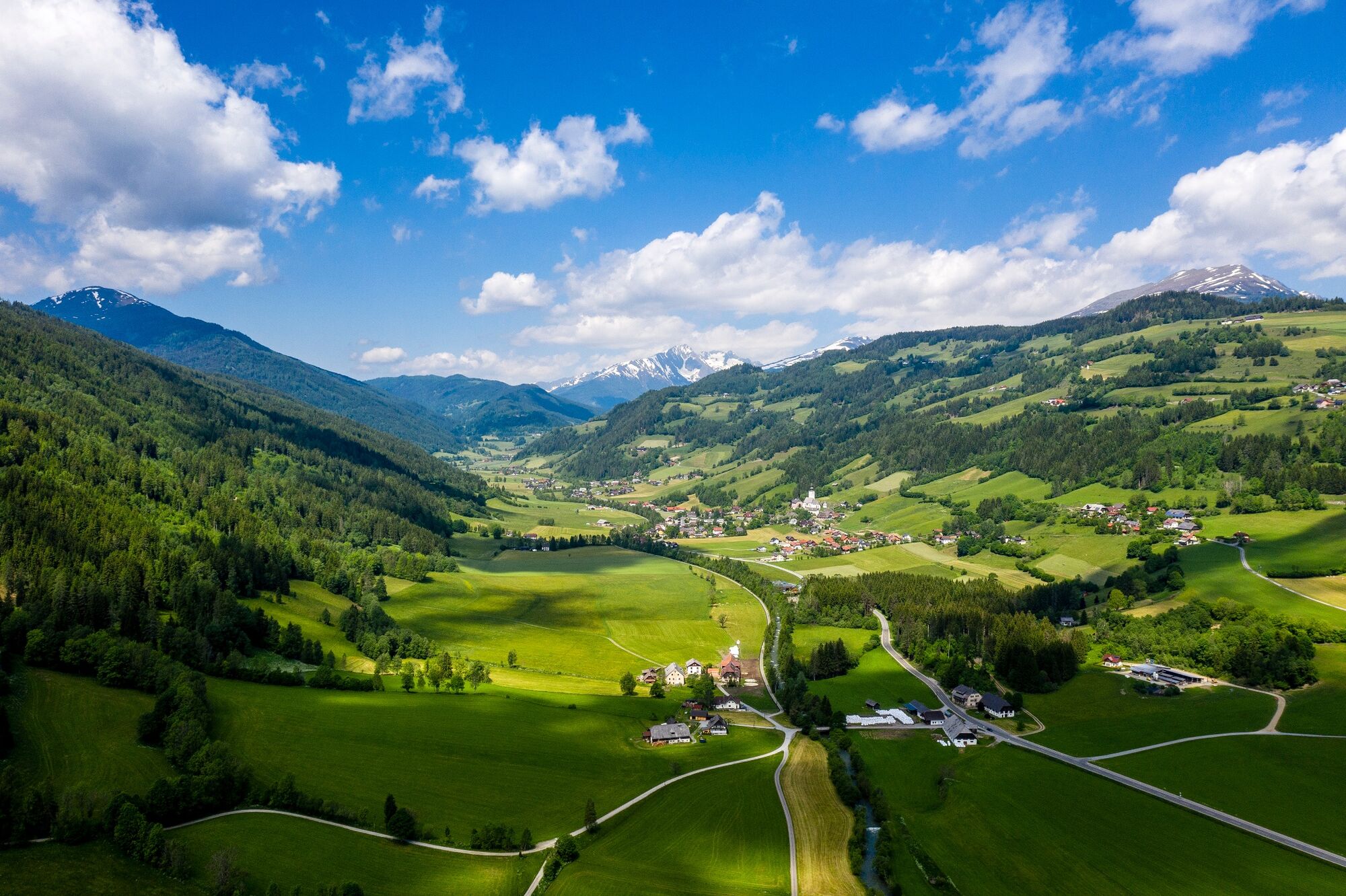
An intermediate level hike on the forest path with gentle ascents and a beautiful view of the Rantental, the Freiberg and the Krakautal featuring the Preber mountain.
- Sværhedsgrad
-
medium
- Evaluering
-
- Rute
-
Ranten0,1 kmAllgaueck-Kreuz5,4 kmAllgaueck (1.295 m)5,4 kmRanten10,8 km
- Bedste sæson
-
janfebmaraprmajjunjulaugsepoktnovdec
- Højeste punkt
- 1.308 m
- Destination
-
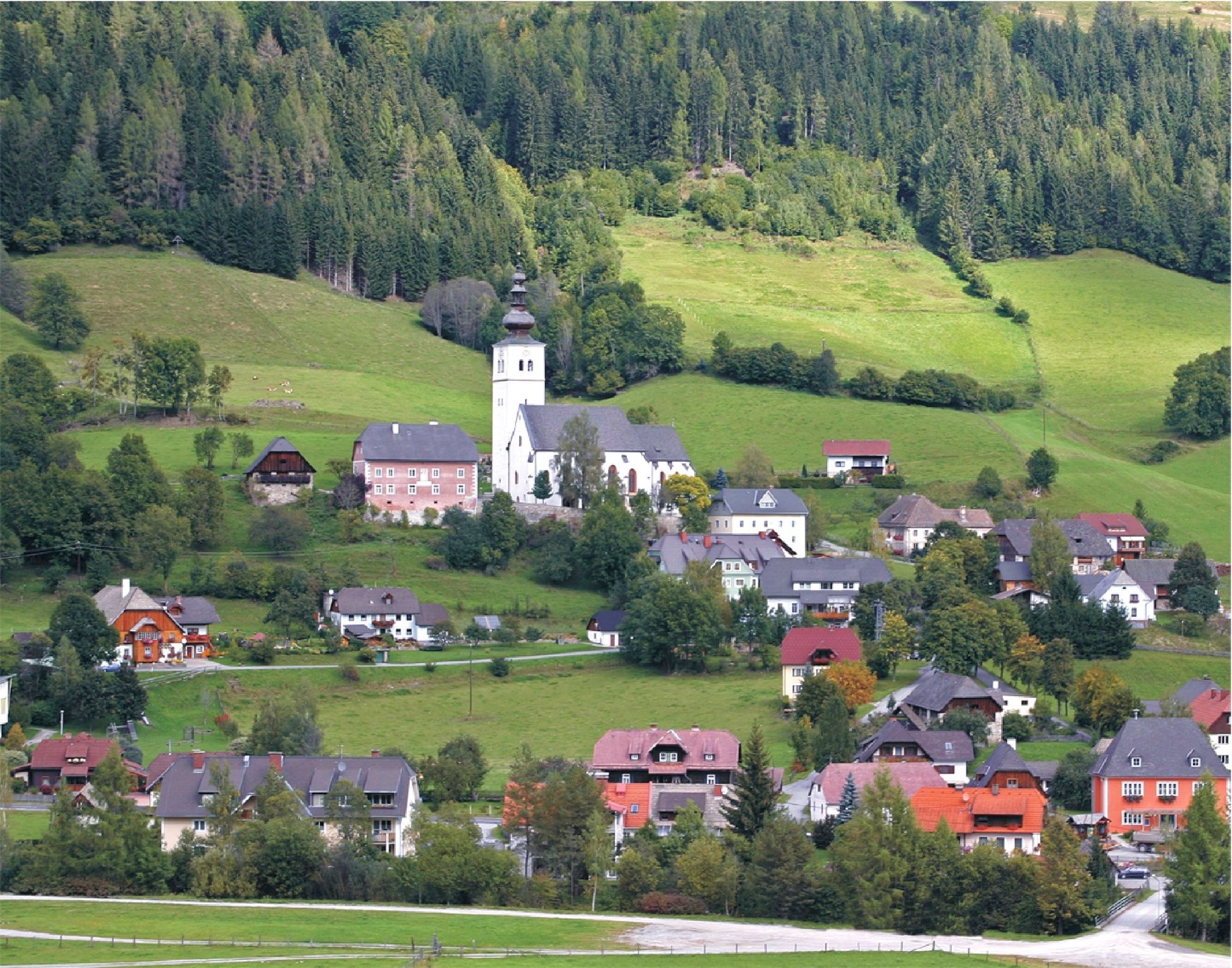
Gasthof Hammerschmied, Ranten
- Højdeprofil
-

- Forfatter
-
Rundvisningen From Ranten to the Allgaueck bruges af outdooractive.com forudsat.
GPS Downloads


Generel information
Kulturel/Historisk
Insider-tip
Lovende
Flere ture i regionerne
-
TourismusRegion Murau
1743
-
Naturpark Sölktäler
927
-
Ranten
157