© Tourismusverband Region Murau - Tom Lamm

© Tourismusverband Region Murau - ikarus.cc

© Tourismusverband Region Murau - ikarus.cc

- Kort beskrivelse
-
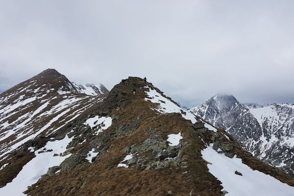
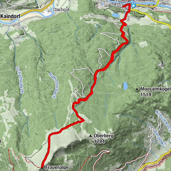
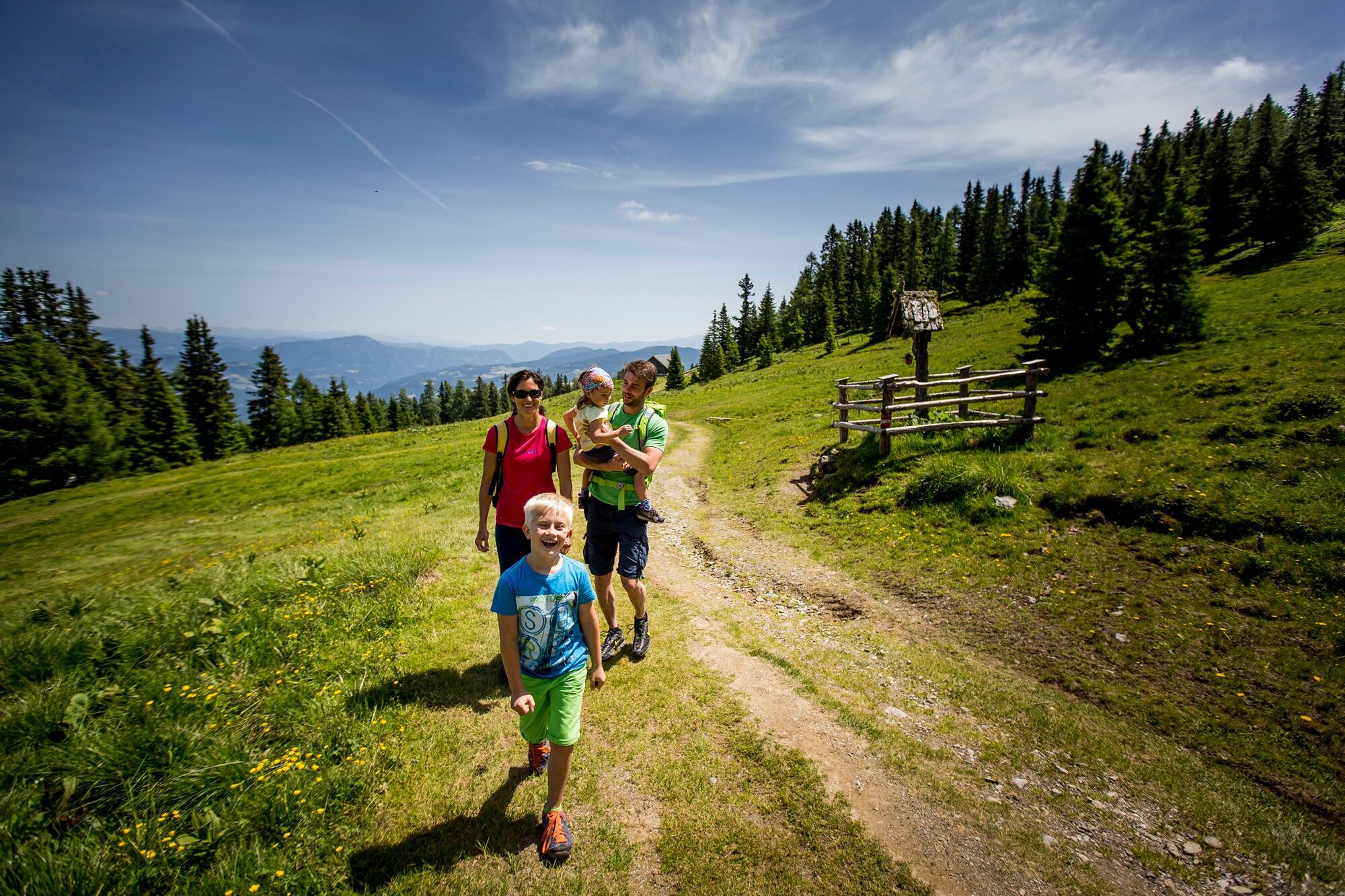
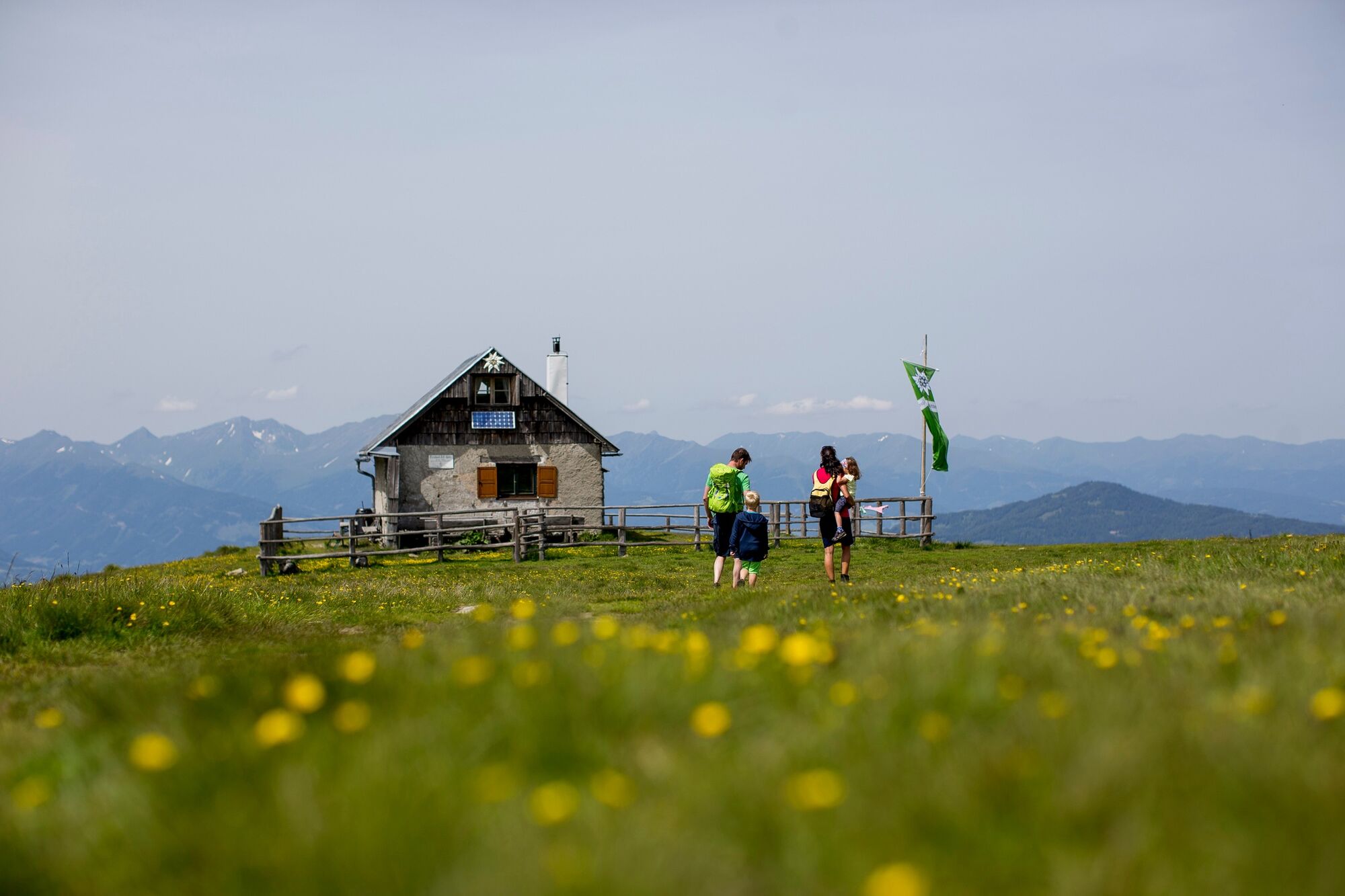
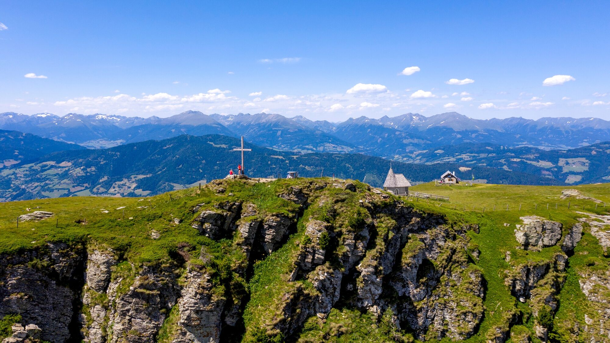
A wonderful alpine hike with sweeping views of the Niedere Tauern, the Gurktaler Alpen and the Karawanken, commencing in the district capital and weaving up Murau's 1,997m local mountain.
- Sværhedsgrad
-
medium
- Evaluering
-
- Rute
-
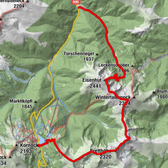
Murau (829 m)Schlatting0,1 kmMurauer Hütte3,7 kmFrauenalpe (1.997 m)6,9 kmSchlatting13,8 kmMurau (829 m)14,4 kmStadtpark14,6 km
- Bedste sæson
-
janfebmaraprmajjunjulaugsepoktnovdec
- Højeste punkt
- 1.988 m
- Destination
-
Frauenalpe
- Højdeprofil
-

- Forfatter
-
Rundvisningen Murau - Frauenalpe bruges af outdooractive.com forudsat.
GPS Downloads


Generel information
Forfriskningsstop
Lovende
Flere ture i regionerne