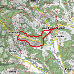
© Region Graz - Mediasoft/Kurz

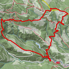
© Verein zur Förderung der steirischen Jakobswege - Reinhold Waldhaus

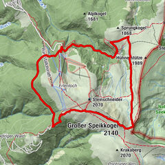
© TV Steirische Rucksackdörfer - Mediasoft/Kurz

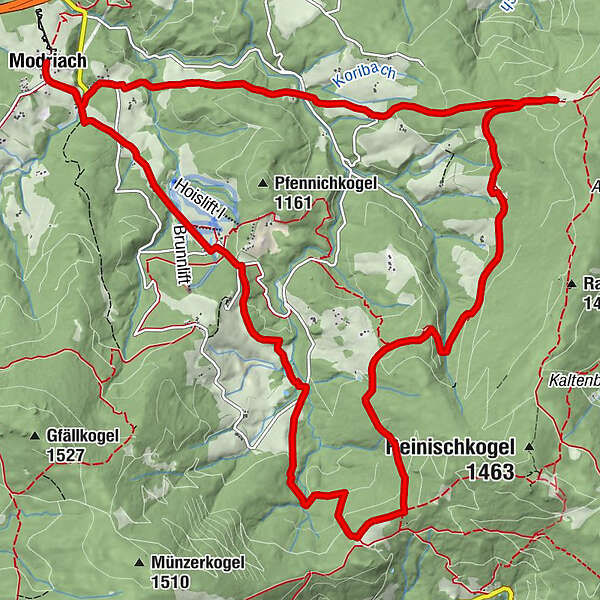
© TV Steirische Rucksackdörfer - Mediasoft/Kurz
- Kort beskrivelse
-
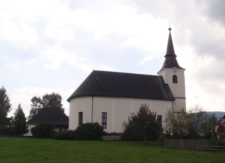
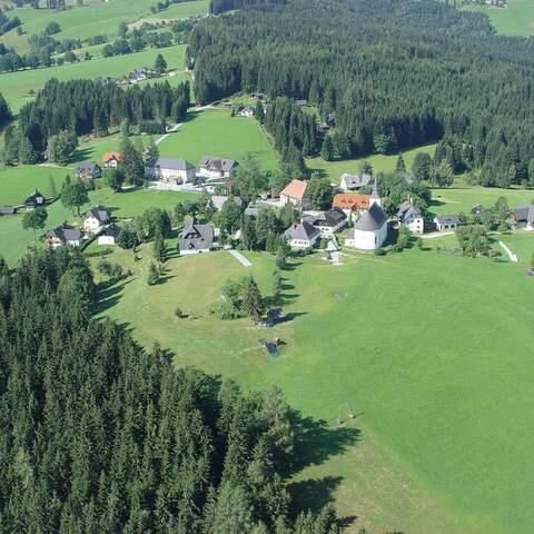
This circular hiking trail shows the different scenic facets of Modriach. Through forest and meadow we even pass a marshy area. Inns invite us to rest and convince with regional delicacies and lovely cordiality.
- Sværhedsgrad
-
medium
- Evaluering
-
- Rute
-
Modriach0,0 kmHoiswirt2,5 kmSchrogentor (1.255 m)6,1 kmAiblwirt11,9 kmModriach17,0 km
- Bedste sæson
-
janfebmaraprmajjunjulaugsepoktnovdec
- Højeste punkt
- 1.292 m
- Destination
-
Modriach, Ortszentrum
- Højdeprofil
-


-

-
ForfatterRundvisningen Modriacher Höhenweg bruges af outdooractive.com forudsat.
GPS Downloads


Generel information
Forfriskningsstop
Lovende
Flere ture i regionerne