© Region Graz - Harry Schiffer

© Region Graz - Harry Schiffer

© TV Ligist - Heinz Kürzl

© TV Ligist - Rainer M. Fürstaller

© Region Graz - Harry Schiffer

© TV Ligist

© TV Ligist - Arnold Bauer

© TV Ligist

© TV Ligist - Rainer M. Fürstaller

- Kort beskrivelse
-
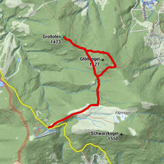
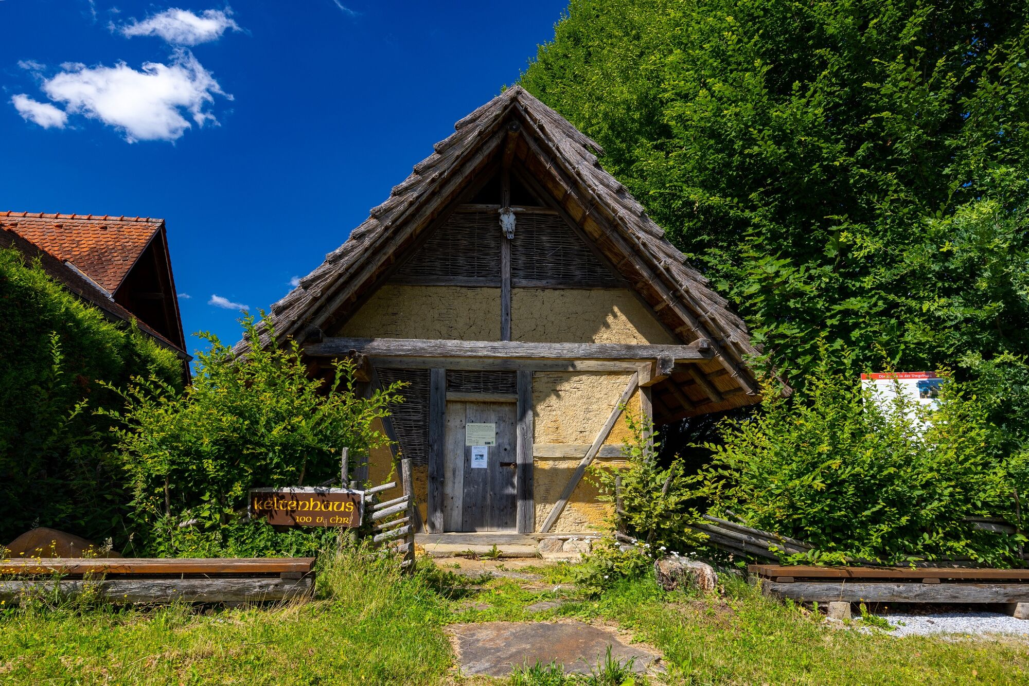
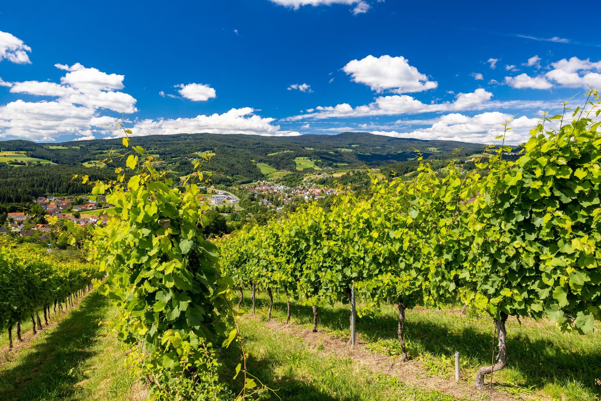
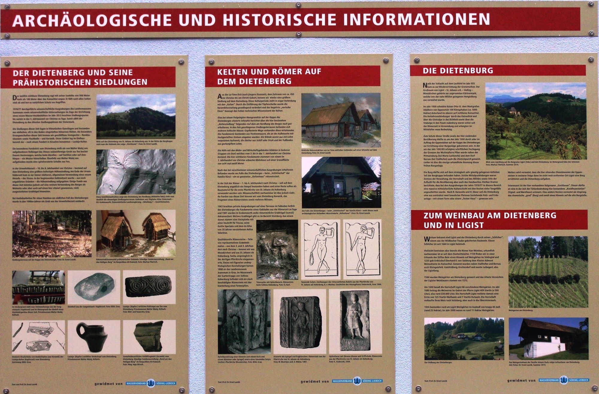
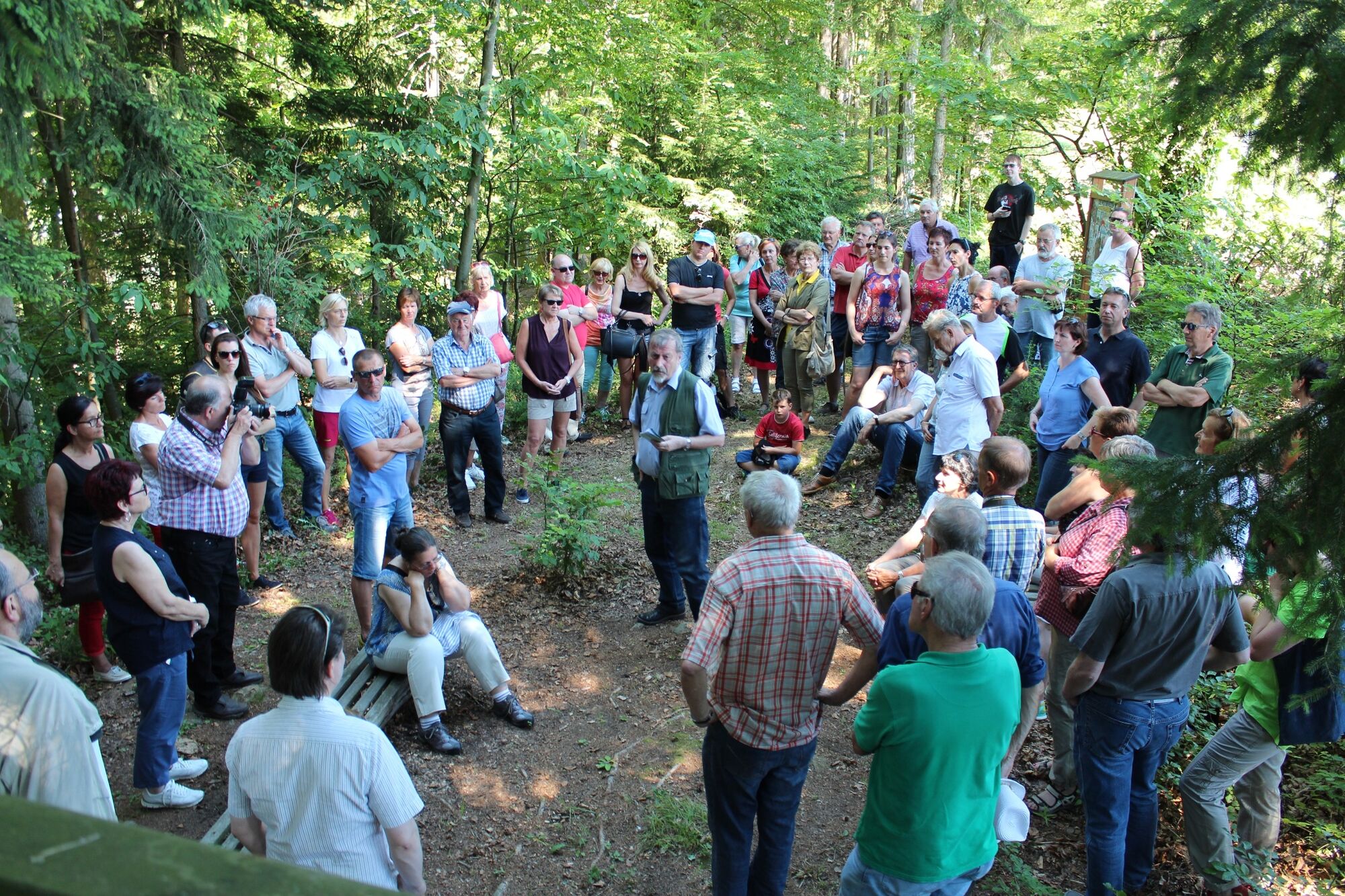
The Ligist Celtic trails lead us from the Ligist market square up the Dietenberg to the excavations from the Celtic period. Information boards about the Celts and the Celtic hilltop settlement bring us closer to the Bronze Age.
- Sværhedsgrad
-
medium
- Evaluering
-
- Rute
-
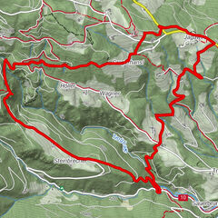
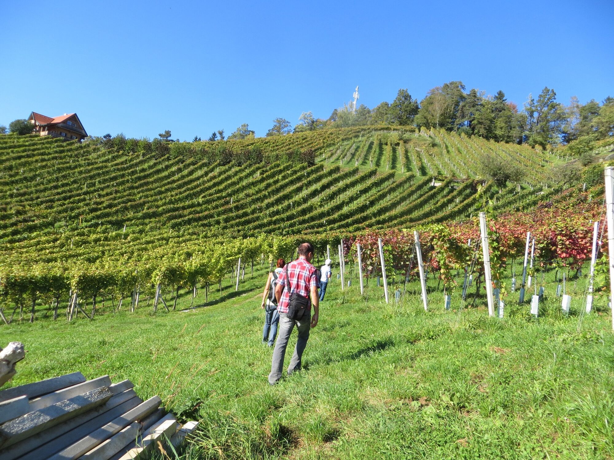
Pfarrkirche hl. KatharinaLigist0,1 kmBuschenschank Kremser-Greitbauer2,2 kmDietenberg2,8 kmSchilcherhof3,0 kmGrabenwarth4,8 kmPfarrkirche hl. Katharina8,7 kmLigist8,7 km
- Bedste sæson
-
janfebmaraprmajjunjulaugsepoktnovdec
- Højeste punkt
- 504 m
- Destination
-
Marketplace Ligist
- Højdeprofil
-


-

-
ForfatterRundvisningen Celtic path bruges af outdooractive.com forudsat.
GPS Downloads


Generel information
Forfriskningsstop
Kulturel/Historisk
Lovende
Flere ture i regionerne