

© Tourismusverband Schladming - Katrin Hutegger - Katrin Hutegger

© Tourismusverband Schladming - Herbert Raffalt - Herbert Raffalt
© Gerhard Pilz - www.gpic.at - Gerhard Pilz
© Gerhard Pilz

© Herbert Raffalt

© Erlebnisregion Schladming-Dachstein - Herbert Raffalt

© Tourismusverband Schladming - Schladming Dachstein

© Gerhard Pilz
© Tourismusverband Schladming - Katrin Hutegger - Katrin Hutegger

© Tourismusverband Schladming - Katrin Hutegger - Katrin Hutegger
- Kort beskrivelse
-
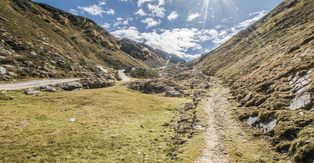
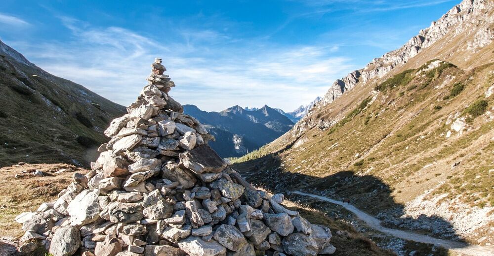
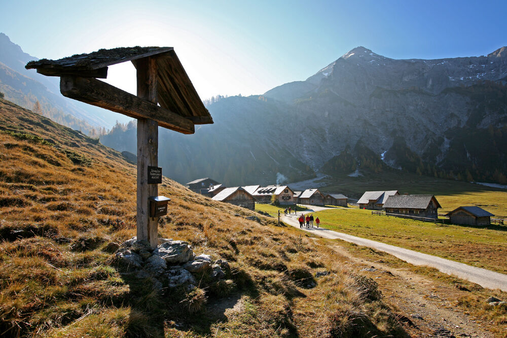
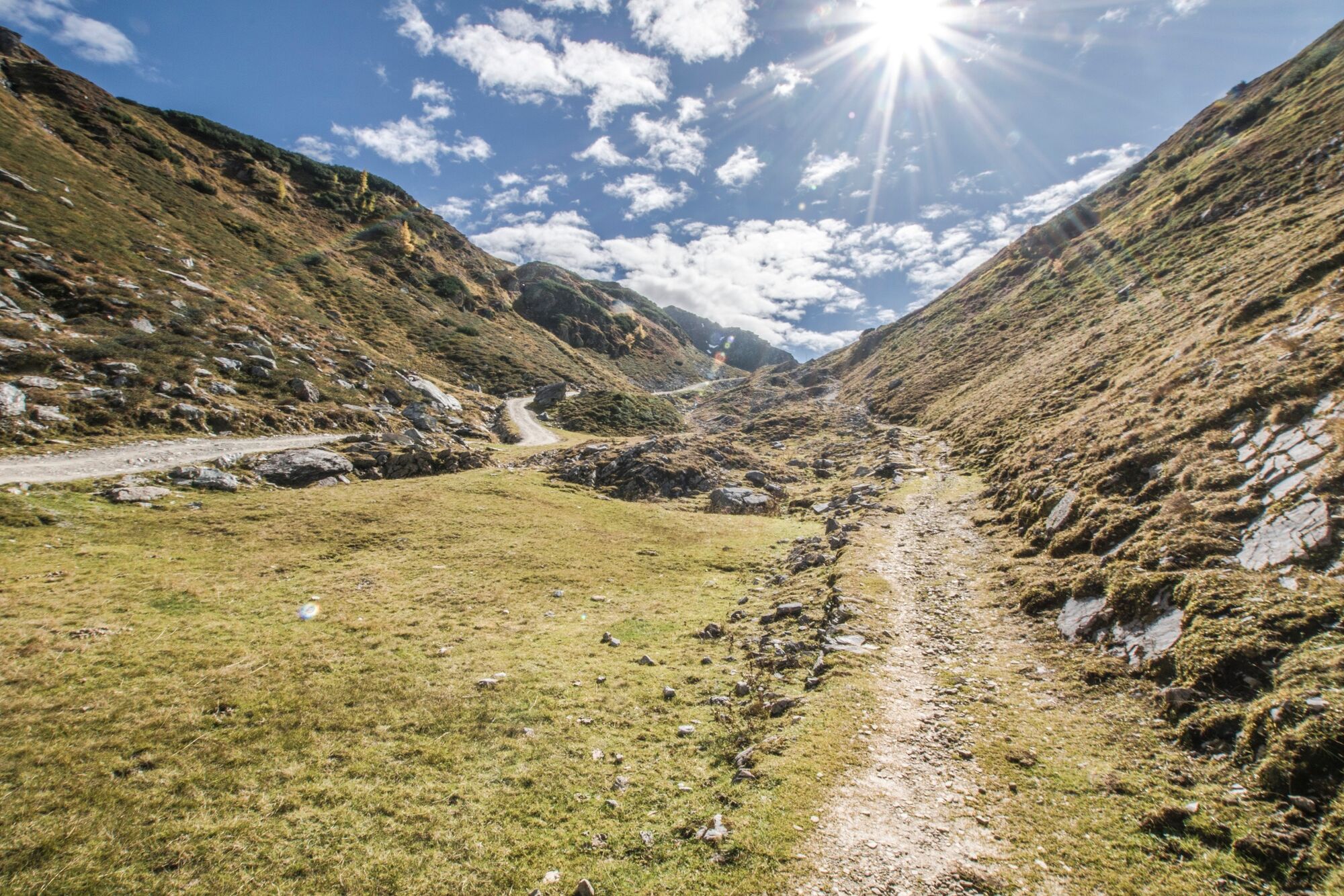
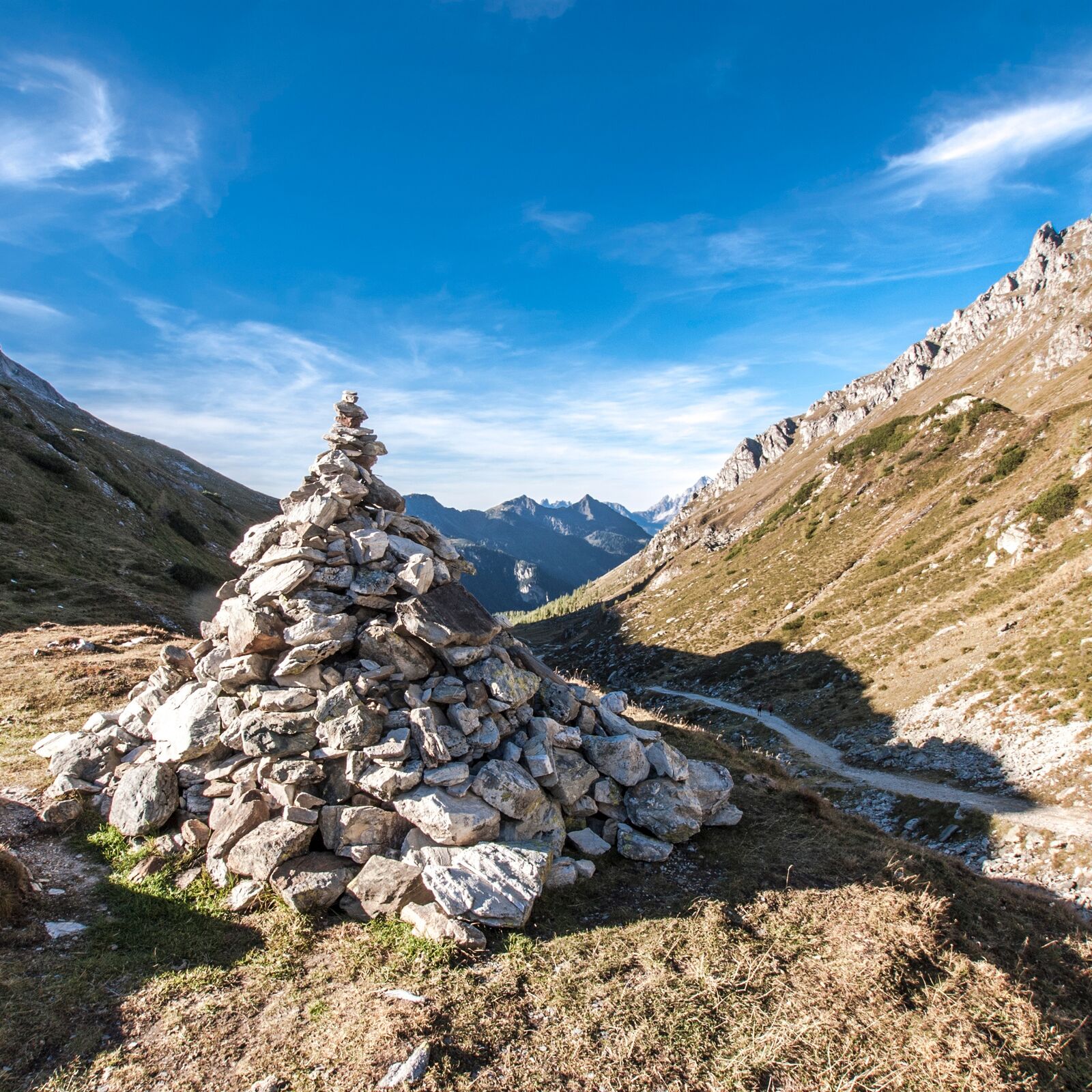
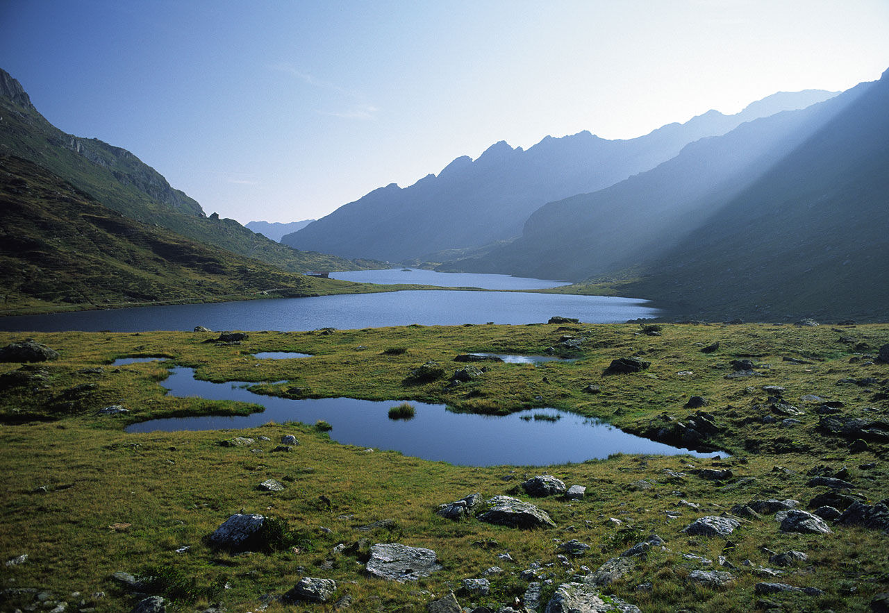
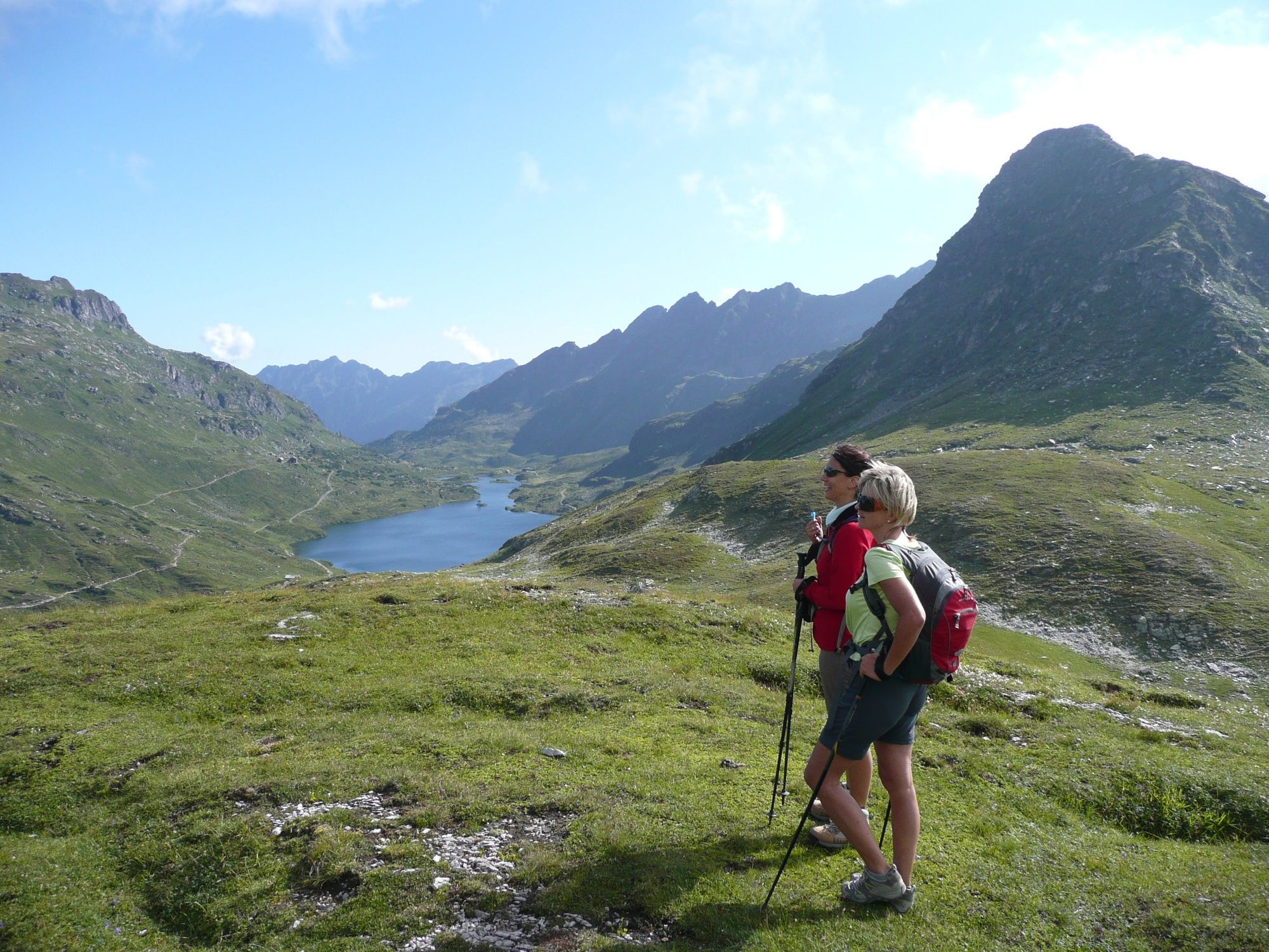
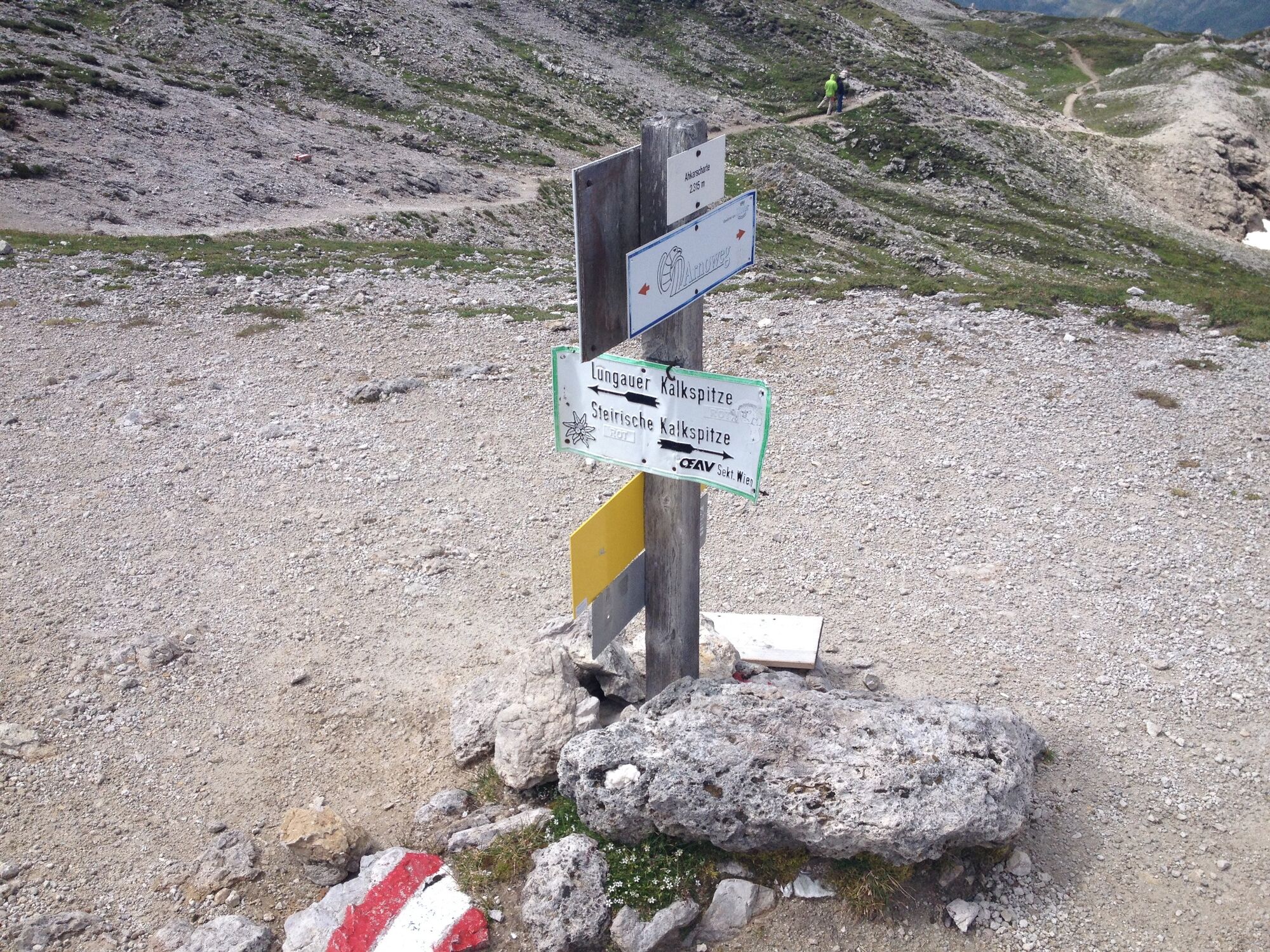
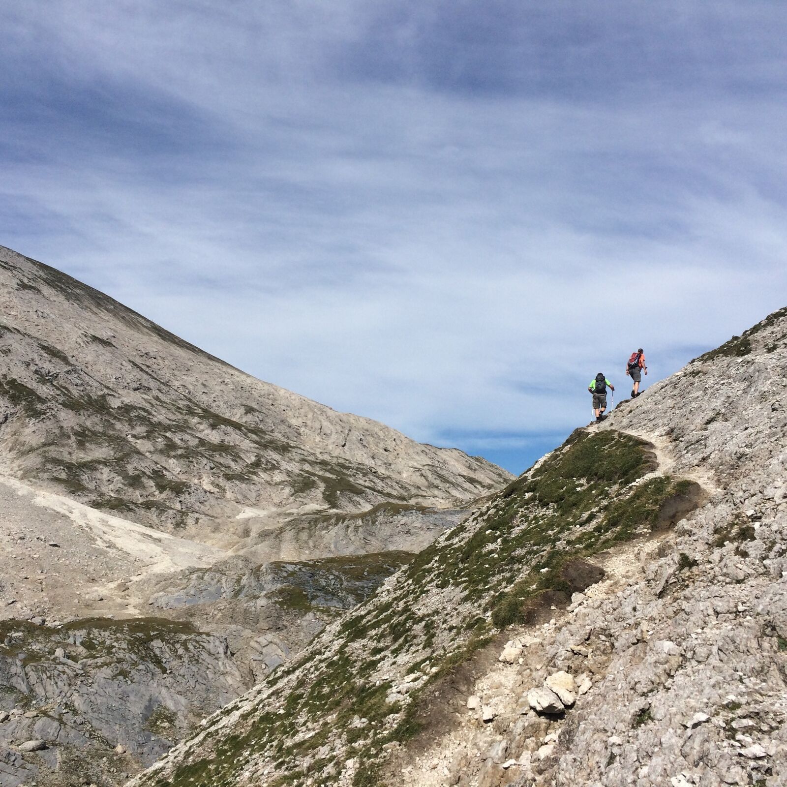
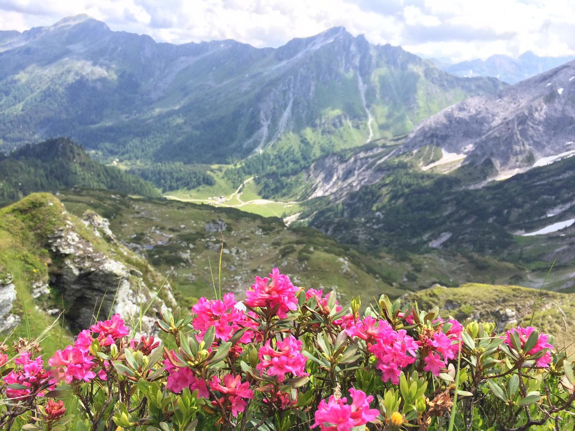
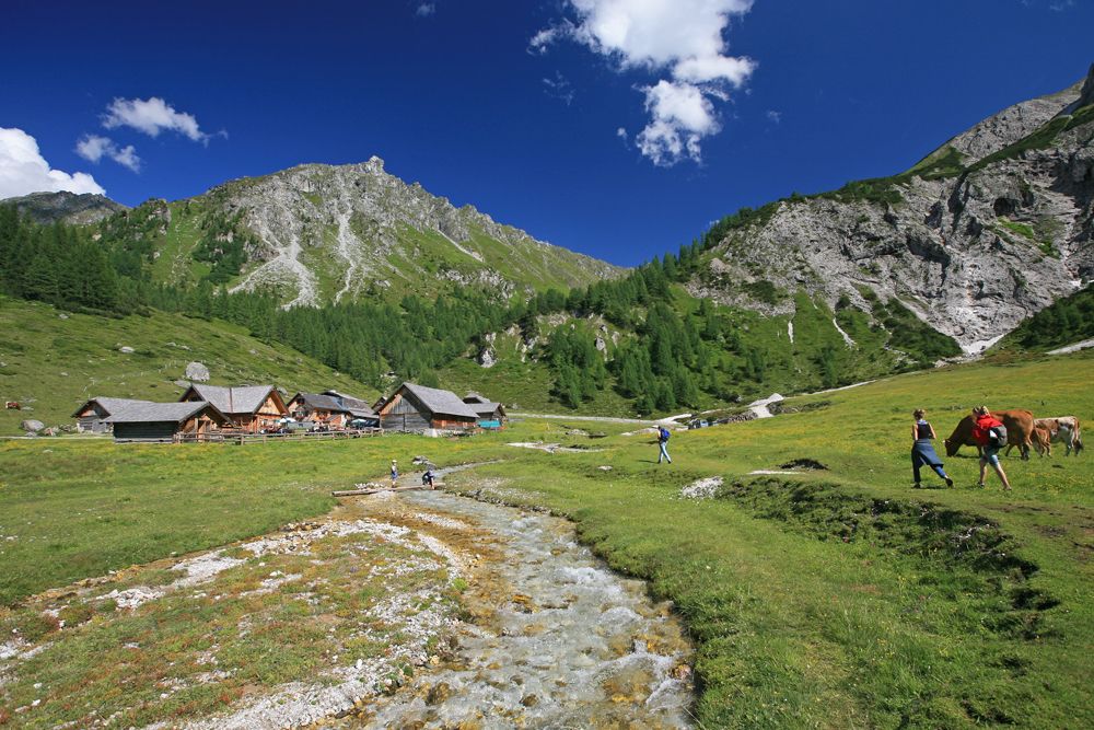
Rewarding walk around Steirische Kalkspitze summit with 3 lakes, 3 chalets and manifold beautiful views.
- Sværhedsgrad
-
medium
- Evaluering
-
- Rute
-
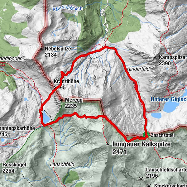
Ursprungalm0,0 kmGiglachsee Hütte (1.955 m)2,4 kmOberhütte am See7,3 kmOberhütte7,4 kmUrsprungalm10,4 km
- Bedste sæson
-
janfebmaraprmajjunjulaugsepoktnovdec
- Højeste punkt
- 2.302 m
- Destination
-
Hiking trail head Ursprungalm
- Højdeprofil
-


-

-
ForfatterRundvisningen Around the summit of Steirische Kalkspitze bruges af outdooractive.com forudsat.
GPS Downloads


Generel information
Forfriskningsstop
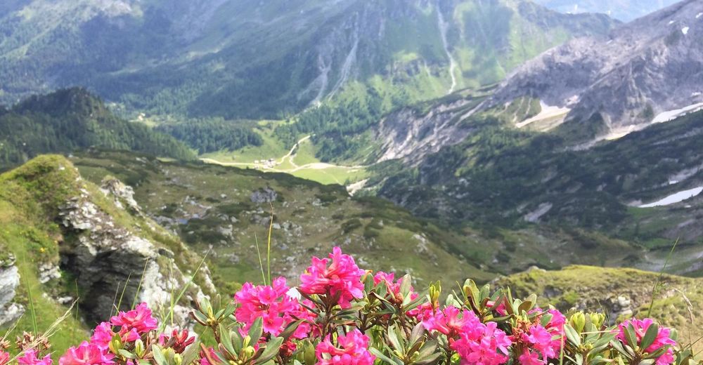
Flora
Lovende
Flere ture i regionerne
-
Schladming - Dachstein
3003
-
Obertauern
1644
-
Tweng
308


