- Kort beskrivelse
-
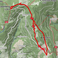
An approx. 10 kilometre hike from Hartberg to Eggendorf, Unterlungitz to the Lafnitztal valley to the Maierhofermühle mill with the option of returning to Hartberg by bus. (Please note the timetable and opening hours of the restaurants along the route. They are closed on Mondays and Tuesdays).
- Sværhedsgrad
-
let
- Evaluering
-
- Rute
-
HartbergGasthaus Eggendorfwirt3,4 kmEggendorf3,4 kmUnterlungitz5,1 kmGasthaus Maierhofer-Mühle8,1 km
- Bedste sæson
-
janfebmaraprmajjunjulaugsepoktnovdec
- Højeste punkt
- 427 m
- Destination
-
Hartberg, bus station
- Højdeprofil
-

- Forfatter
-
Rundvisningen Hartberg - Eggendorf - Lungitz - Lafnitztal (Maierhofermühle) bruges af outdooractive.com forudsat.
GPS Downloads


Generel information
Forfriskningsstop
Kulturel/Historisk
Flora
Flere ture i regionerne
-
Thermen- & Vulkanland
1323
-
Hartbergerland
826
-
St. Johann in der Haide
139