


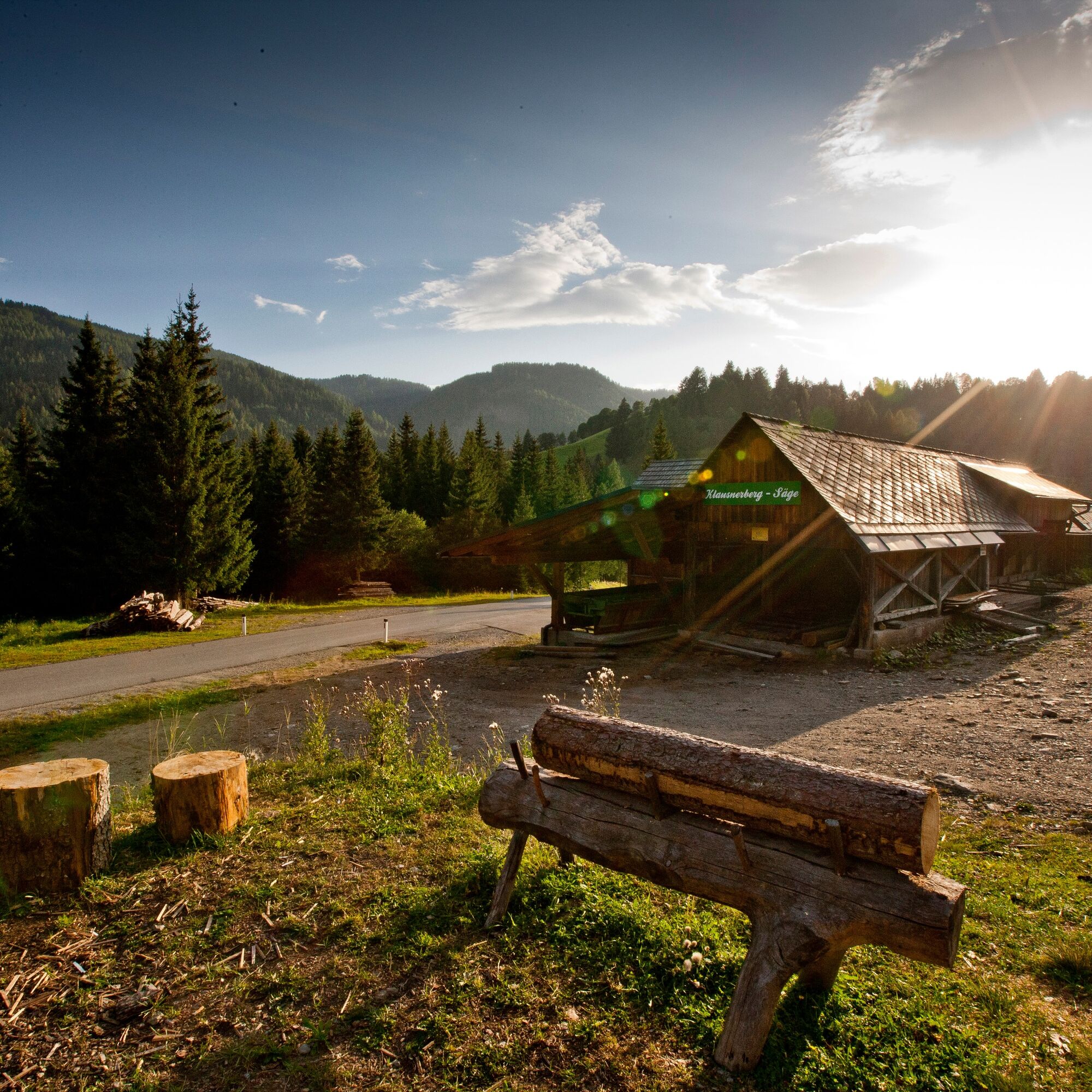
© Holzwelt Murau / Tom Lamm - Holzwelt Murau


- Kort beskrivelse
-
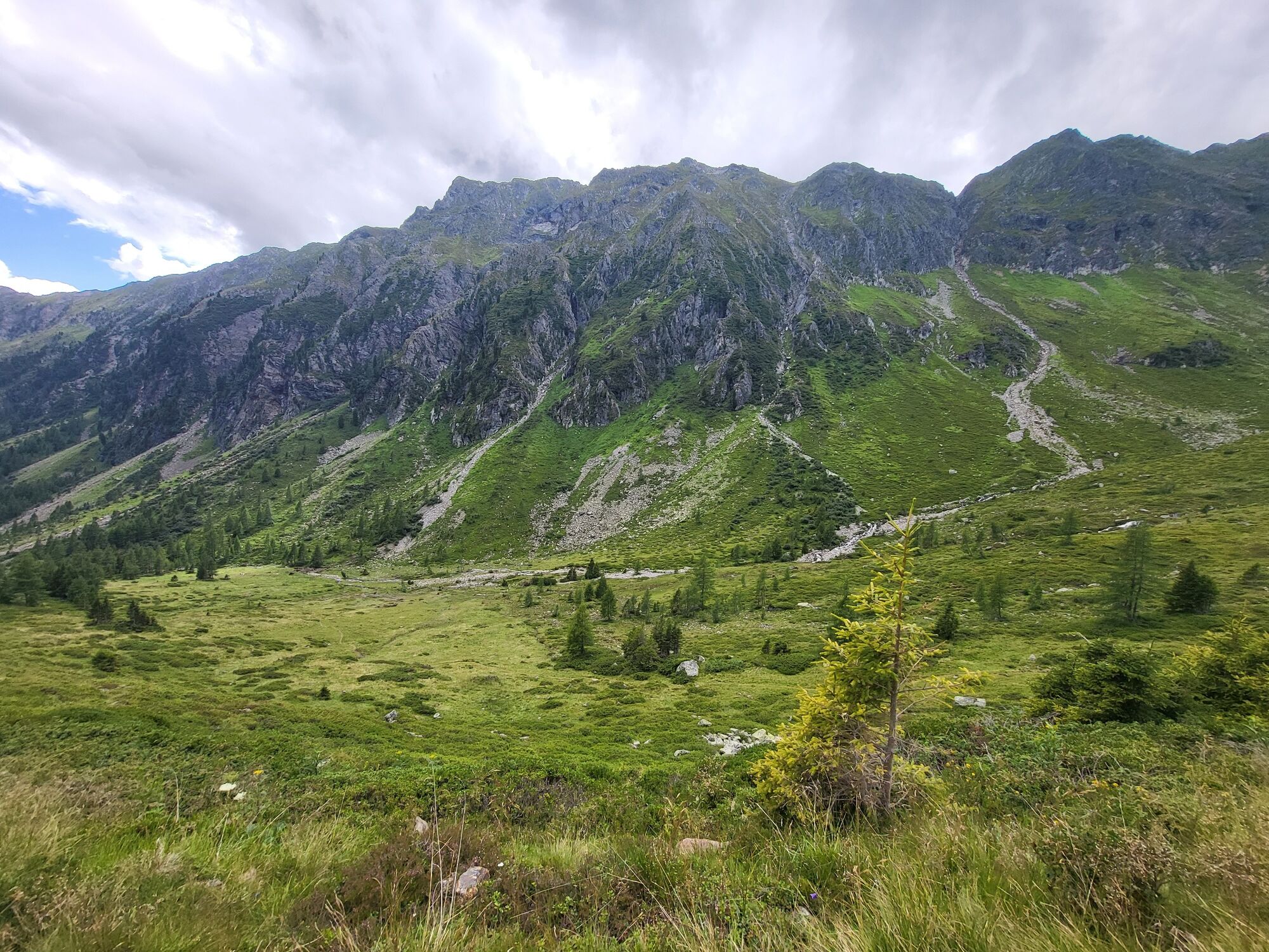
This hike includes rushing waterfalls, fascinating views of the North and... South side of the Schladminger Tauern, as well as crystal clear, sparkling mountain lakes.
- Sværhedsgrad
-
tung
- Evaluering
-
- Rute
-
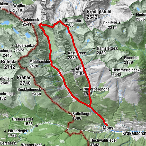
MoosBahnhof1,8 kmMoarhütte6,0 kmMöslhütte6,3 kmPrebertörl (2.194 m)9,5 kmRantentörl (2.166 m)11,2 kmEbenhandlhütte16,0 kmBahnhof18,2 kmMoos20,1 km
- Bedste sæson
-
janfebmaraprmajjunjulaugsepoktnovdec
- Højeste punkt
- 2.277 m
- Destination
-
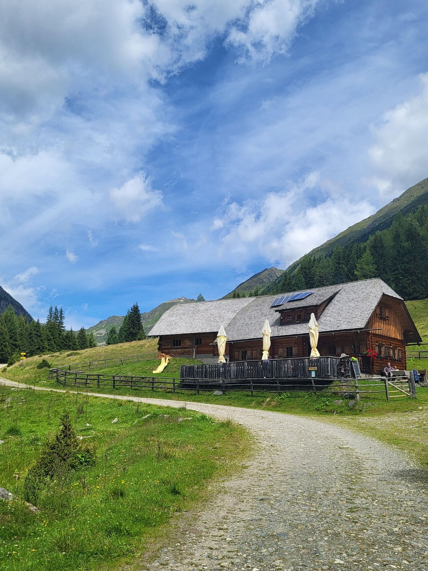
Klausnerberg-Säge, Krakauebene
- Højdeprofil
-


- Forfatter
-
Rundvisningen Krakauer Törl - hike at the foot of the Preber bruges af outdooractive.com forudsat.
GPS Downloads


Generel information
Forfriskningsstop
Lovende
Flere ture i regionerne


