© Erlebnisregion Thermen- & Vulkanland - 'Eva Klampfer

© Erlebnisregion Thermen- & Vulkanland - Eva Klampfer

© Erlebnisregion Thermen- & Vulkanland - Eva Klampfer

© Erlebnisregion Thermen- & Vulkanland - Eva Klampfer

© Erlebnisregion Thermen- & Vulkanland - Eva Klampfer

© Erlebnisregion Thermen- & Vulkanland - Eva Klampfer
© Erlebnisregion Thermen- & Vulkanland - Eva Klampfer
- Kort beskrivelse
-
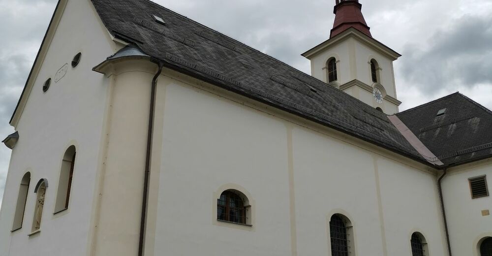
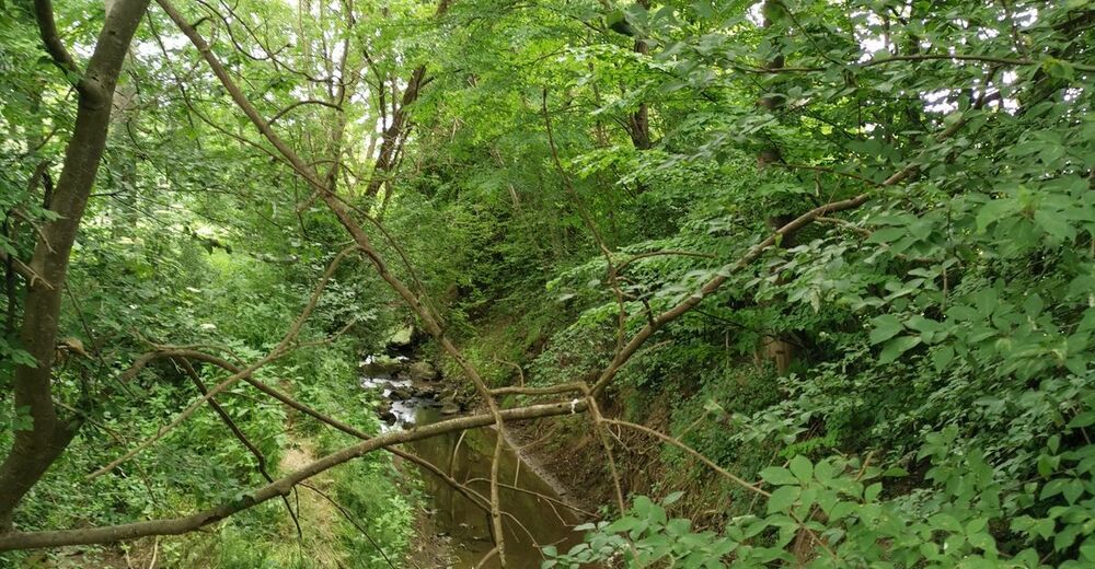
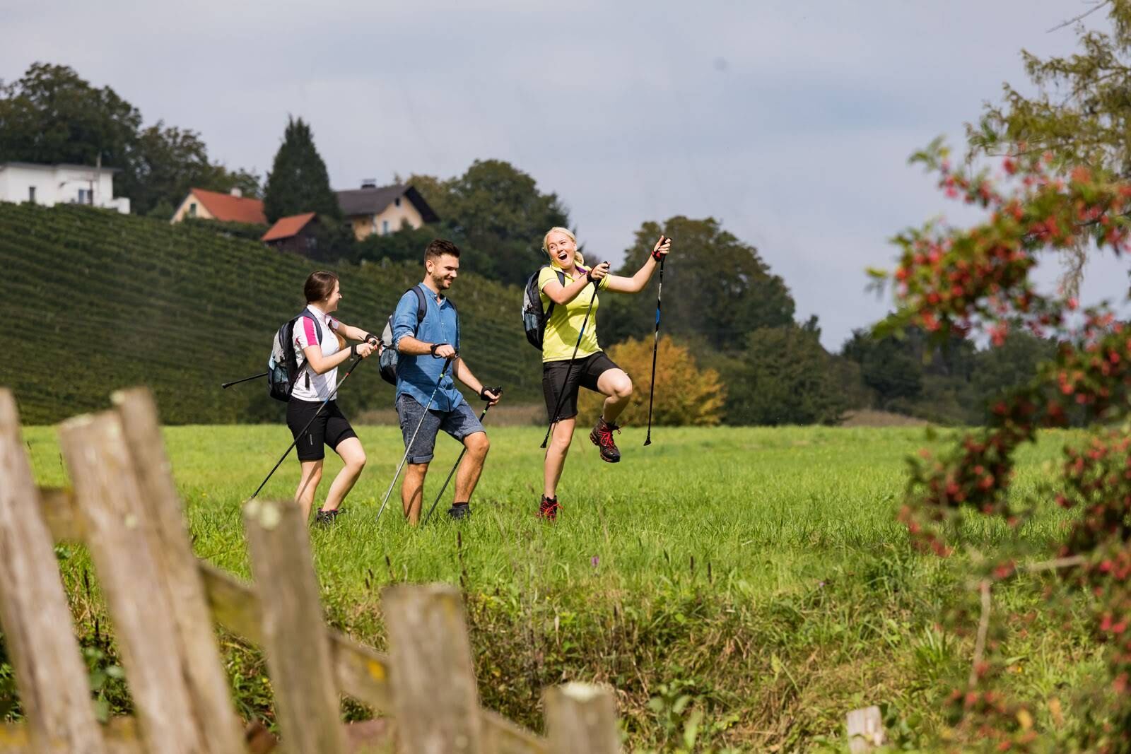
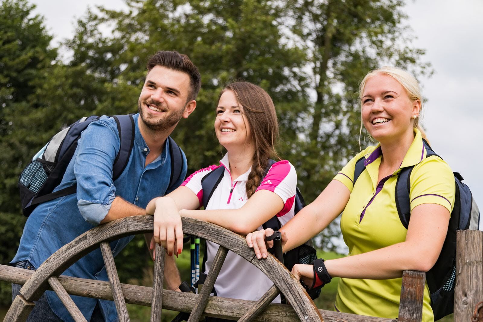
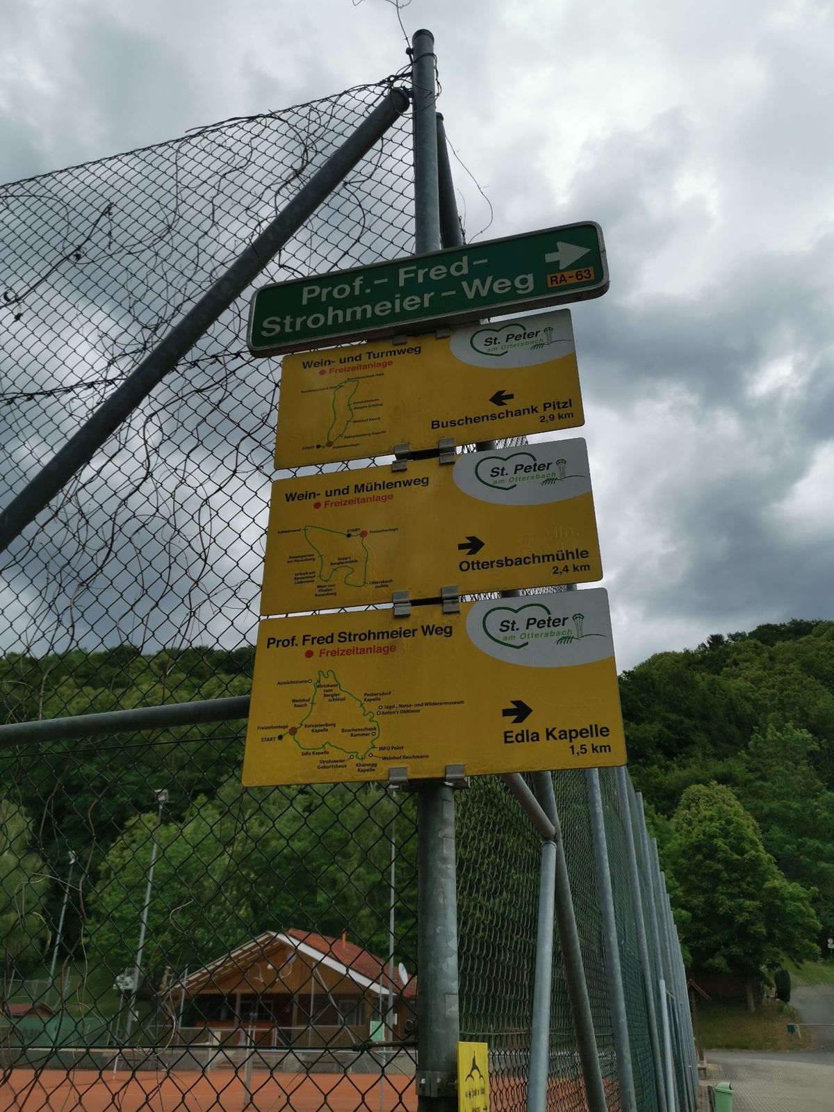
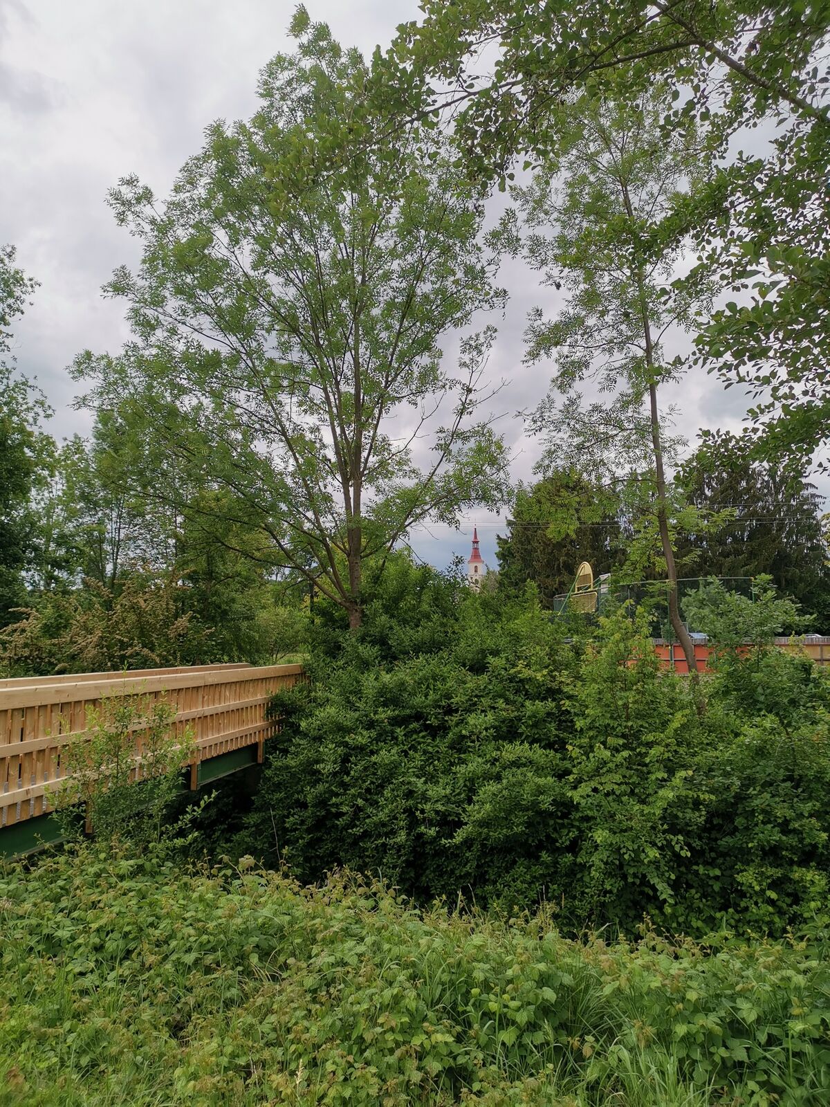
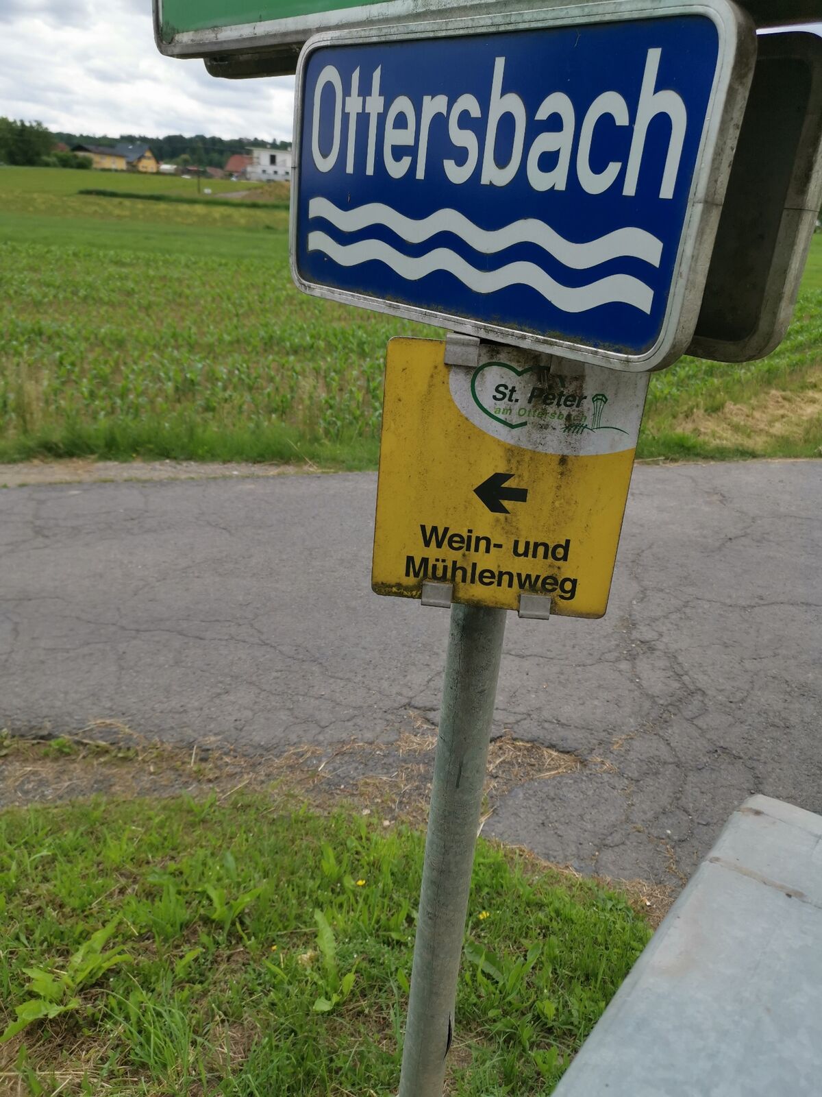
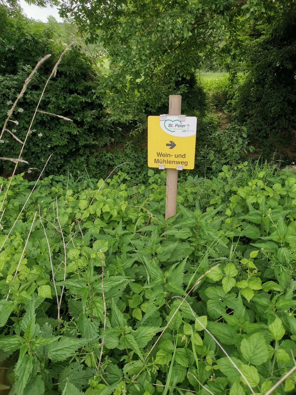
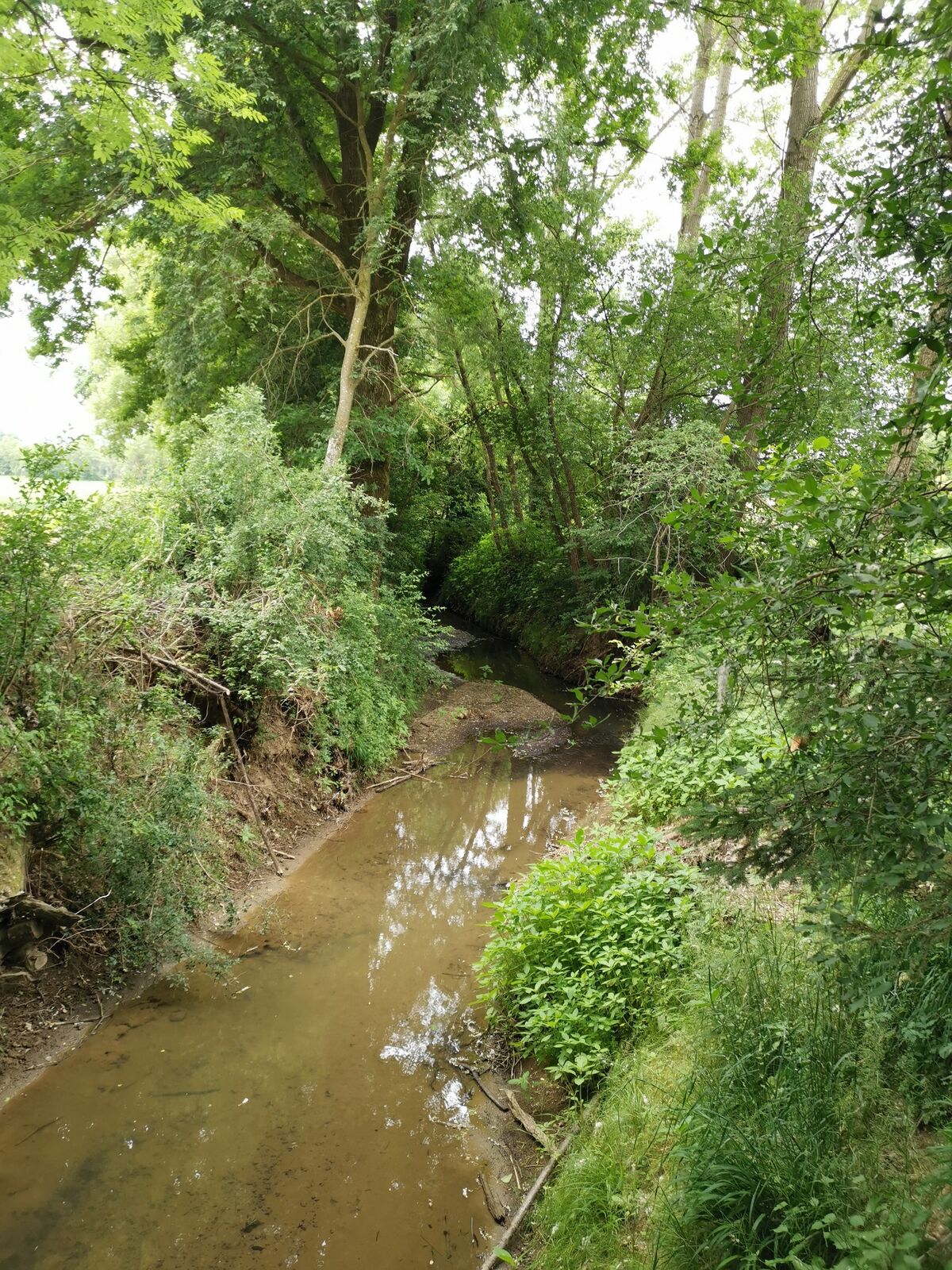
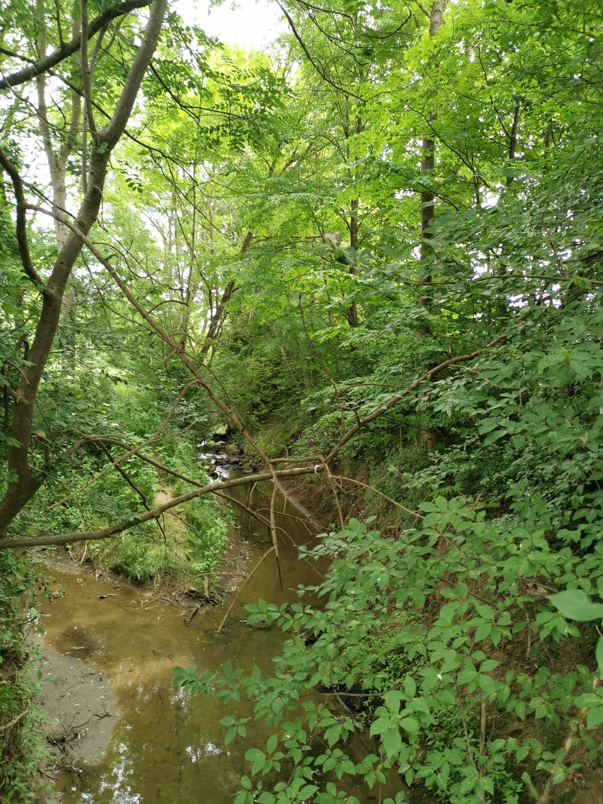
Hiking in the footsteps of the miller and the vintner - On the Wine & Mill Trail along the Ottersbach this is possible.
- Sværhedsgrad
-
medium
- Evaluering
-
- Rute
-
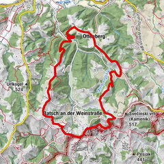
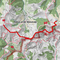
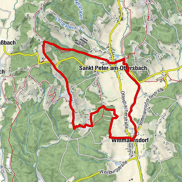
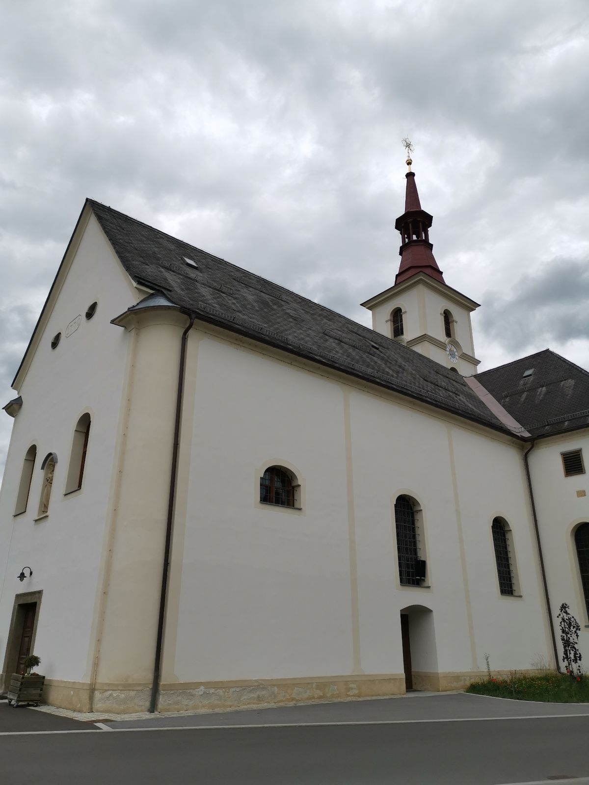
Sankt Peter am OttersbachPfarrkirche Sankt Peter am OttersbachMühlengasthaus2,9 kmWittmannsdorf3,1 kmUnterrosenberg7,3 kmMettersdorfberg9,4 kmSankt Peter am Ottersbach11,6 kmPfarrkirche Sankt Peter am Ottersbach11,6 km
- Bedste sæson
-
janfebmaraprmajjunjulaugsepoktnovdec
- Højeste punkt
- 391 m
- Destination
-
Petersplatz
- Højdeprofil
-


-

-
ForfatterRundvisningen Wine & Mill Trail (Wein- & Mühlenweg) bruges af outdooractive.com forudsat.
GPS Downloads


Generel information
Forfriskningsstop
Lovende
Flere ture i regionerne
-
Südsteiermark
1132
-
Bad Gleichenberg
371
-
St. Peter am Ottersbach
87