

© Gesäuse - Admont

© Tourismusverband Gesäuse

- Kort beskrivelse
-
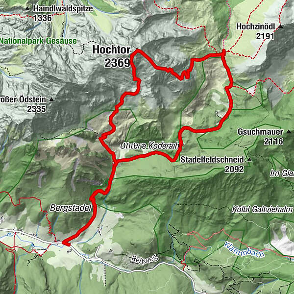
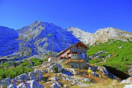
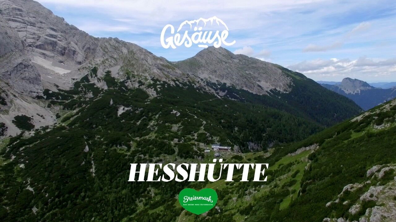
The Josefinensteig runs west of the Hesshütte through a mountain pine belt and a scree pass. Ascent via the partially secured south-east ridge. Sure-footedness and mountain experience are absolutely necessary!
- Sværhedsgrad
-
tung
- Evaluering
-
- Rute
-
Wolfbauer Wasserfall1,5 kmGamsbrunnen5,5 kmHesshütte6,4 kmGugl (2.301 m)8,3 kmHochtor (2.369 m)8,6 kmHaindlkarwand (2.319 m)8,6 kmSchneeloch9,4 kmWolfbauer Wasserfall12,3 km
- Bedste sæson
-
janfebmaraprmajjunjulaugsepoktnovdec
- Højeste punkt
- 2.351 m
- Destination
-
GH Kölblwirt, Johnsbach
- Højdeprofil
-

-

-
ForfatterRundvisningen Hochtor - via Hesshütte and Josefinensteig bruges af outdooractive.com forudsat.
GPS Downloads


Generel information
Forfriskningsstop
Flora
Lovende


